
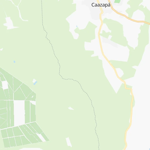

How to get from Caazapá (Caazapá) to Santa Rita (Alto Paraná)
Calculate route from Caazapá (Caazapá, Paraguay) to Santa Rita (Alto Paraná, Paraguay).
The flight distance (as the crow flies) between Caazapá and Santa Rita is 137.8 km.
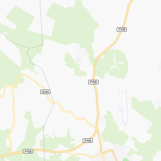
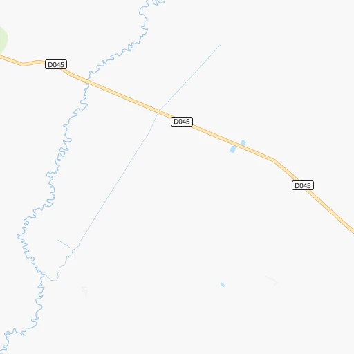
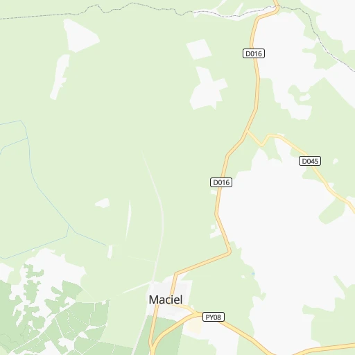
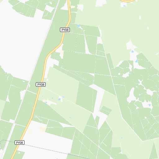
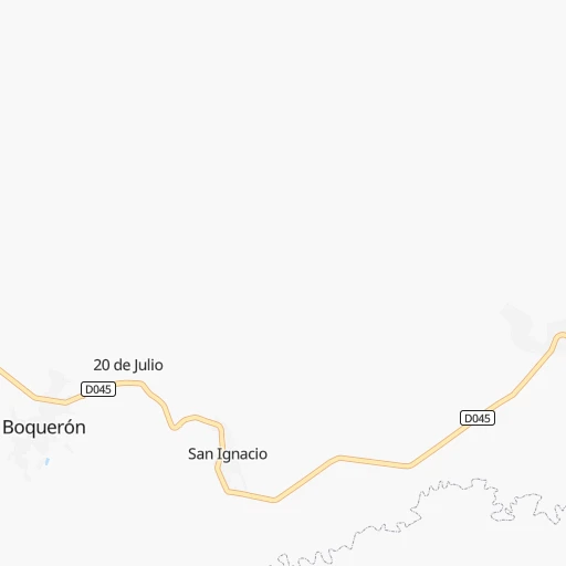
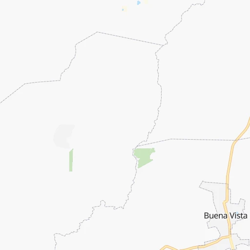
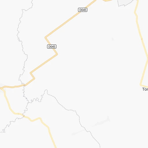
Roadmap (route) to go from Caazapá to Santa Rita detailed above, you can also see the course layout on the map.
While doing trip Caazapá - Santa Rita by car, the calculated route ends at a distance , or more straight.
Distance and duration of the route between Caazapá and Santa Rita
Calculation of distance and route from Santa Rita to Caazapá :
137.8191.9 km3h24mn
Continue onto Doctor Paiva 0h0mn 20 mTurn left onto Avenida Mariscal Estigarribia 0h1mn 683 mTurn left onto Bernardino de Caballero 0h1mn 624 mTurn right onto Ruta Departamental 45 1h34mn 35.9 kmTurn left onto Avenida Mariscal López 0h2mn 1.2 kmTurn right onto Ruta Departamental 45 0h12mn 11.5 kmKeep right onto Ruta Departamental 45 0h0mn 29 mTurn slight right onto Ruta Nacional PY18 0h9mn 10.6 kmTurn left onto Avenida Agustín Pereira 0h8mn 7.7 kmAt roundabout, take exit 2 onto Avenida Santiago Morel 0h0mn 142 mTurn right onto Manuel Acosta 0h0mn 85 mTurn left 0h2mn 867 mTurn right onto Tomás Bogado 1h50mn 28.8 kmTurn right 0h0mn 146 mTurn right onto Ruta Nacional Las Residentas 0h14mn 16.4 kmTurn right onto Ruta Nacional Las Residentas 0h11mn 12.7 kmContinue onto Ruta Nacional Las Residentas 0h3mn 4.0 kmAt roundabout, take exit 1 onto Ruta Nacional Las Residentas 0h28mn 32.9 kmContinue onto Ruta Nacional Las Residentas 0h5mn 5.9 kmTurn left onto Ruta Nacional Juan León Mallorquín 0h21mn 19.7 kmTurn sharp right onto Avenida Albano Birnfieldt 0h0mn 20 mTurn sharp left 0h0mn 93 mTurn right onto Rubio Ñu 0h0mn 87 mTurn left onto Primer Intendente 0h0mn 272 mTurn right onto Juan de Salazar 0h0mn 332 mTurn left 0h0mn 139 mTurn right onto Coronel Bogado 0h0mn 383 mTurn left 0h1mn 597 mArrive at destination 0h0mn 0 m
Travel from Caazapá (Alto Paraná) to a selection of major cities.
Distances from Caazapá to biggest cities in Caazapá
Other major cities in country :
Route from Santa Rita to major cities (Paraguay).
- Distance Santa Rita Asuncion264 km
- Distance Santa Rita San Lorenzo250 km
- Distance Santa Rita Capiata244 km
- Distance Santa Rita Lambare260 km
- Distance Santa Rita Fernando de la Mora251 km
- Distance Santa Rita Limpio253 km
- Distance Santa Rita Nemby252 km
- Distance Santa Rita Pedro Juan Caballero367 km
- Distance Santa Rita Encarnacion190 km
- Distance Santa Rita Mariano Roque Alonso256 km
- Distance Santa Rita Itaugua234 km
- Distance Santa Rita Villa Elisa258 km
- Distance Santa Rita Villa Hayes259 km
- Distance Santa Rita San Antonio252 km
- Distance Santa Rita Caaguazu101 km
- Distance Santa Rita Coronel Oviedo143 km
Nearest cities to Caazapá :
- Asuncion, 1,482,200 inhabitants. 162 km
- Ciudad del Este, 320,782 inhabitants. 192 km
- San Lorenzo, 227,876 inhabitants. 149 km
- Capiata, 198,553 inhabitants. 143 km
- Lambare, 126,377 inhabitants. 156 km
- Fernando de la Mora, 120,167 inhabitants. 150 km
- Limpio, 96,143 inhabitants. 160 km
- Nemby, 94,641 inhabitants. 147 km
- Encarnacion, 74,983 inhabitants. 136 km
- Mariano Roque Alonso, 72,008 inhabitants. 160 km
- Itaugua, 64,997 inhabitants. 133 km
- Villa Elisa, 64,099 inhabitants. 154 km
- Villa Hayes, 57,217 inhabitants. 169 km
- San Antonio, 55,754 inhabitants. 146 km
- Caaguazu, 54,808 inhabitants. 88 km
- Presidente Franco, 54,292 inhabitants. 190 km
- Coronel Oviedo, 51,286 inhabitants. 84 km
- Concepcion, 48,123 inhabitants. 329 km
- Villarrica, 41,157 inhabitants. 50 km
- Pilar, 28,716 inhabitants. 206 km
- Caazapa, 23,996 inhabitants. 0 km
- Caacupe, 21,696 inhabitants. 119 km
- Ita, 18,459 inhabitants. 127 km
- San Juan Bautista, 16,593 inhabitants. 94 km
- Nueva Esperanza, 12,717 inhabitants. 242 km
- Juan de Ayolas, 12,061 inhabitants. 141 km
- Santa Rita, 11,823 inhabitants. 138 km
- Colonia General Alfredo Stroessner, 11,558 inhabitants. 114 km
- Aregua, 11,222 inhabitants. 142 km
- San Isidro de Curuguaty, 11,095 inhabitants. 204 km
- Horqueta, 10,531 inhabitants. 325 km
- Lima, 10,367 inhabitants. 258 km
- Piribebuy, 10,337 inhabitants. 106 km
- Paraguari, 10,079 inhabitants. 101 km
- Tobati, 9,952 inhabitants. 126 km
- Ypacarai, 9,655 inhabitants. 127 km
- San Pedro de Ycuamandiyu, 9,360 inhabitants. 246 km
- Capitan Bado, 9,114 inhabitants. 337 km
- Guarambare, 9,065 inhabitants. 134 km
- Eusebio Ayala, 8,253 inhabitants. 108 km
- San Juan Nepomuceno, 7,893 inhabitants. 44 km
- Benjamin Aceval, 7,751 inhabitants. 182 km
- Doctor Juan Leon Mallorquin, 7,481 inhabitants. 140 km
- Salto del Guaira, 7,385 inhabitants. 315 km
- Santa Rosa Misiones, 7,257 inhabitants. 91 km
- Yaguaron, 7,181 inhabitants. 116 km
- Repatriacion, 7,085 inhabitants. 85 km
- Obligado, 6,350 inhabitants. 118 km
- Emboscada, 5,911 inhabitants. 153 km
- Carapegua, 5,784 inhabitants. 97 km
Location Caazapá (Caazapá) :
| Country flag |  |
| Location | Caazapá |
| State | Caazapá |
| County | Caazapa |
| Country | Paraguay |
| Country code / ISO 2 | PY |
| Latitude | -26.1958300 |
| Longitude | -56.3680600 |
| Altitude | 0 meters |
| Time zone | America/Asuncion |
Location Santa Rita (Alto Paraná) :
| Country flag | |
| Location | Santa Rita |
| State | Alto Paraná |
| County | Santa Rita |
| Country | Paraguay |
| Country code / ISO 2 | PY |
| Latitude | -25.7833300 |
| Longitude | -55.0666700 |
| Altitude | 0 meters |
| Time zone | America/Asuncion |