
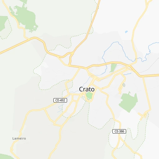

How to get from Crato (Ceará) to Ouricuri (Pernambuco)
Calculate route from Crato (Ceará, Brazil) to Ouricuri (Pernambuco, Brazil).
The flight distance (as the crow flies) between Crato and Ouricuri is 103.3 km.
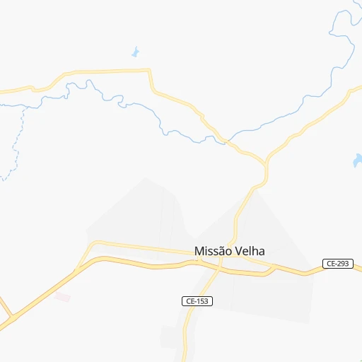
Roadmap (route) to go from Crato to Ouricuri detailed above, you can also see the course layout on the map.
While doing trip Crato - Ouricuri by car, the calculated route ends at a distance , or more straight.
Distance and duration of the route between Crato and Ouricuri
Calculation of distance and route from Ouricuri to Crato :
103.3114.8 km2h6mn
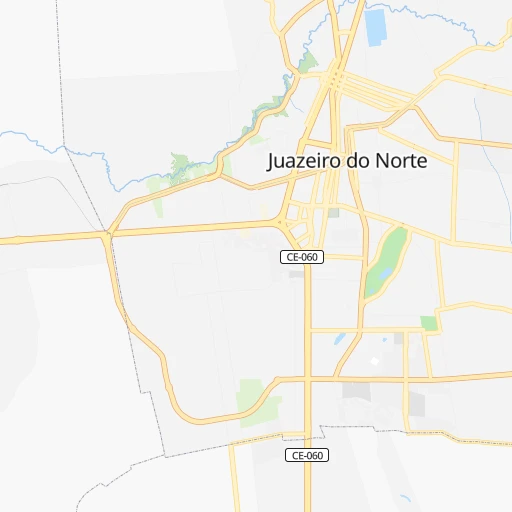
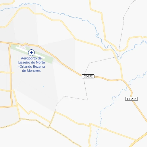
Continue onto Rua Ratisbona 0h1mn 351 mTurn left onto Rua Almirante Alexandrino 0h2mn 2.1 kmKeep left onto BR-122 0h0mn 64 mKeep right onto BR-122 0h0mn 50 mTurn slight right onto Avenida Joaquim Pinheiro Bezerra de Menezes 0h1mn 693 mTurn left 0h0mn 242 mTurn slight left onto Avenida Joaquim Pinheiro Bezerra de Menezes 0h27mn 31.2 kmTurn left 0h1mn 553 mTurn right 0h16mn 8.2 kmKeep right 0h21mn 10.5 kmTurn right onto Rua Coronel Luiz Ulisses Neto 0h0mn 100 mTurn sharp left onto BR-122 0h4mn 4.7 kmKeep right onto BR-122 1h34mn 36.7 kmTurn slight right onto Rodovia Asa Branca 0h17mn 18.5 kmTurn left toward BR-122 0h0mn 54 mKeep right onto BR-122 0h1mn 553 mMake a U-turn onto Avenida Fernando Bezerra 0h0mn 42 mTurn right 0h0mn 171 mArrive at destination 0h0mn 0 m
Travel from Crato (Pernambuco) to a selection of major cities.
Distances from Crato to biggest cities in Ceará
- Eusebio,37,289 inhabitants.387 km
- Beberibe,37,025 inhabitants.368 km
- Quixeramobim,34,321 inhabitants.227 km
- Barbalha,33,943 inhabitants.14 km
- Itapage,32,043 inhabitants.395 km
- Itaitinga,30,938 inhabitants.376 km
- Limoeiro do Norte,29,449 inhabitants.274 km
- Sao Joao dos Inhamuns,29,188 inhabitants.168 km
- Acarau,28,389 inhabitants.490 km
- Ico,28,323 inhabitants.111 km
- Brejo Santo,27,384 inhabitants.55 km
- Ipu,26,678 inhabitants.355 km
- Granja,25,879 inhabitants.484 km
- Boa Viagem,24,671 inhabitants.237 km
- Acopiara,24,561 inhabitants.127 km
- Santa Quiteria,24,391 inhabitants.334 km
- Sao Goncalo do Amarante,23,583 inhabitants.407 km
- Trairi,23,126 inhabitants.441 km
- Jaguaribe,23,065 inhabitants.173 km
- Baturite,22,417 inhabitants.329 km
Other major cities in country :
- Campo Grande [11], 729,151 inhabitants. 2,204 km
- Jaboatao [30], 702,621 inhabitants. 498 km
- Osasco [27], 677,856 inhabitants. 1,978 km
- Santo Andre [27], 662,373 inhabitants. 1,981 km
- Joao Pessoa [17], 650,883 inhabitants. 502 km
- Jaboatao dos Guararapes [30], 630,008 inhabitants. 495 km
- Contagem [15], 627,123 inhabitants. 1,500 km
- Ribeirao Preto [27], 619,746 inhabitants. 1,796 km
- Sao Jose dos Campos [27], 613,764 inhabitants. 1,906 km
- Uberlandia [15], 563,536 inhabitants. 1,616 km
- Sorocaba [27], 558,862 inhabitants. 2,005 km
- Cuiaba [14], 521,934 inhabitants. 2,043 km
- Aparecida de Goiania [29], 510,770 inhabitants. 1,511 km
- Aracaju [28], 490,175 inhabitants. 483 km
- Feira de Santana [05], 481,911 inhabitants. 562 km
- Londrina [18], 471,832 inhabitants. 2,187 km
- Juiz de Fora [15], 470,193 inhabitants. 1,672 km
- Belford Roxo [21], 466,096 inhabitants. 1,781 km
- Joinville [26], 461,304 inhabitants. 2,347 km
- Niteroi [21], 456,456 inhabitants. 1,786 km
Route from Ouricuri to major cities (Brazil).
- Distance Ouricuri Sao Paulo1,879 km
- Distance Ouricuri Rio de Janeiro1,705 km
- Distance Ouricuri Salvador592 km
- Distance Ouricuri Fortaleza494 km
- Distance Ouricuri Belo Horizonte1,403 km
- Distance Ouricuri Brasilia1,226 km
- Distance Ouricuri Curitiba2,183 km
- Distance Ouricuri Manaus2,272 km
- Distance Ouricuri Belem1,177 km
- Distance Ouricuri Porto Alegre2,727 km
- Distance Ouricuri Goiania1,397 km
- Distance Ouricuri Guarulhos1,866 km
- Distance Ouricuri Campinas1,831 km
- Distance Ouricuri Nova Iguacu1,695 km
- Distance Ouricuri Maceio518 km
- Distance Ouricuri Sao Luis758 km
- Distance Ouricuri Duque de Caxias1,695 km
- Distance Ouricuri Natal586 km
- Distance Ouricuri Teresina433 km
- Distance Ouricuri Sao Bernardo do Campo1,891 km
Nearest cities to Crato :
- Juazeiro do Norte, 225,230 inhabitants. 11 km
- Mossoro, 202,005 inhabitants. 323 km
- Petrolina, 194,650 inhabitants. 269 km
- Arapiraca, 166,562 inhabitants. 412 km
- Garanhuns, 110,085 inhabitants. 369 km
- Patos, 92,575 inhabitants. 236 km
- Crato, 88,786 inhabitants. 0 km
- Paulo Afonso, 85,350 inhabitants. 275 km
- Iguatu, 70,380 inhabitants. 98 km
- Picos, 57,495 inhabitants. 228 km
- Arcoverde, 57,163 inhabitants. 291 km
- Caico, 54,934 inhabitants. 270 km
- Crateus, 52,933 inhabitants. 268 km
- Serra Talhada, 51,203 inhabitants. 149 km
- Belo Jardim, 49,922 inhabitants. 351 km
- Quixada, 49,328 inhabitants. 256 km
- Sousa, 47,927 inhabitants. 141 km
- Piripiri, 44,864 inhabitants. 421 km
- Aracati, 44,293 inhabitants. 349 km
- Cajazeiras, 43,913 inhabitants. 102 km
- Caninde, 42,720 inhabitants. 320 km
- Salgueiro, 42,152 inhabitants. 99 km
- Pesqueira, 41,896 inhabitants. 324 km
- Russas, 39,465 inhabitants. 301 km
- Araripina, 38,569 inhabitants. 126 km
- Morada Nova, 37,389 inhabitants. 263 km
- Acu, 36,125 inhabitants. 333 km
- Currais Novos, 35,560 inhabitants. 338 km
- Delmiro Gouveia, 35,259 inhabitants. 286 km
- Quixeramobim, 34,321 inhabitants. 227 km
- Barbalha, 33,943 inhabitants. 14 km
- Campo Maior, 31,739 inhabitants. 406 km
- Limoeiro do Norte, 29,449 inhabitants. 274 km
- Ouricuri, 29,317 inhabitants. 103 km
- Sao Joao dos Inhamuns, 29,188 inhabitants. 168 km
- Ico, 28,323 inhabitants. 111 km
- Bom Conselho, 27,800 inhabitants. 370 km
- Brejo Santo, 27,384 inhabitants. 55 km
- Ipu, 26,678 inhabitants. 355 km
- Santana do Ipanema, 26,146 inhabitants. 337 km
- Afogados da Ingazeira, 25,060 inhabitants. 204 km
- Sao Bento, 24,749 inhabitants. 212 km
- Boa Viagem, 24,671 inhabitants. 237 km
- Acopiara, 24,561 inhabitants. 127 km
- Santa Quiteria, 24,391 inhabitants. 334 km
- Propria, 23,786 inhabitants. 436 km
- Jaguaribe, 23,065 inhabitants. 173 km
- Aguas Belas, 22,563 inhabitants. 327 km
- Baturite, 22,417 inhabitants. 329 km
- Pedro II, 22,038 inhabitants. 386 km
Location Crato (Ceará) :
| Country flag |  |
| Location | Crato |
| State | Ceará |
| County | Crato |
| Country | Brazil |
| Country code / ISO 2 | BR |
| Latitude | -7.2341700 |
| Longitude | -39.4094400 |
| Altitude | 0 meters |
| Time zone | America/Fortaleza |
Location Ouricuri (Pernambuco) :
| Country flag | |
| Location | Ouricuri |
| State | Pernambuco |
| County | Ouricuri |
| Country | Brazil |
| Country code / ISO 2 | BR |
| Latitude | -7.8825000 |
| Longitude | -40.0816700 |
| Altitude | 0 meters |
| Time zone | America/Recife |