
How to get from Irituia (Pará) to Igarapé Miri (Pará)
Calculate route from Irituia (Pará, Brazil) to Igarapé Miri (Pará, Brazil).
The flight distance (as the crow flies) between Irituia and Igarapé Miri is 170.5 km.
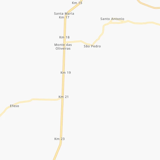
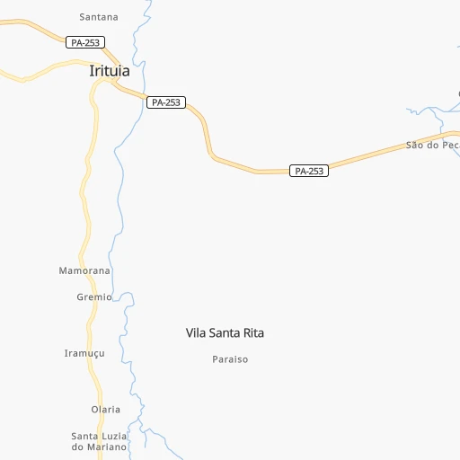
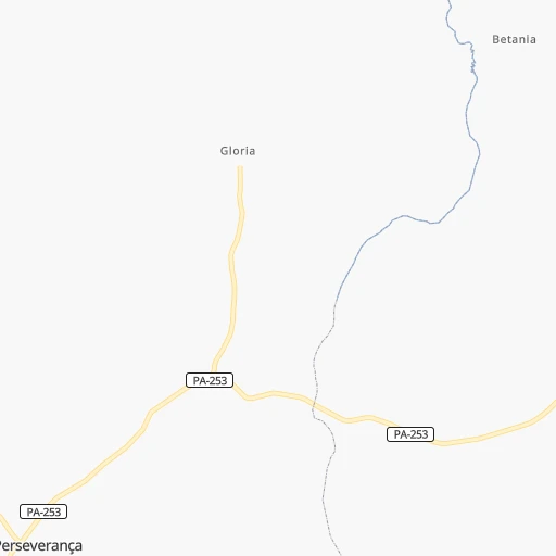
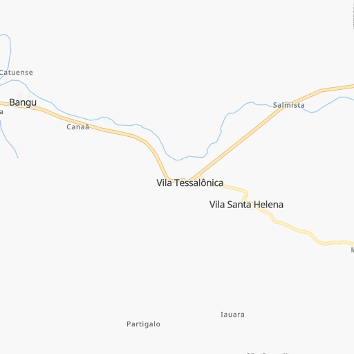
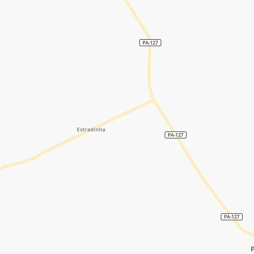
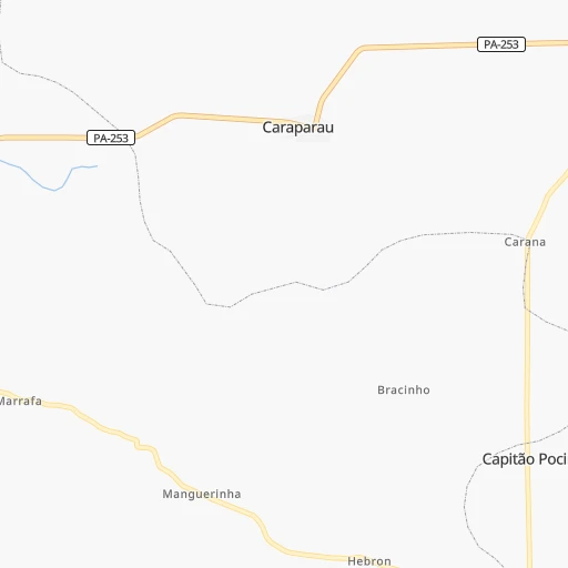
Roadmap (route) to go from Irituia to Igarapé Miri detailed above, you can also see the course layout on the map.
While doing trip Irituia - Igarapé Miri by car, the calculated route ends at a distance , or more straight.
Distance and duration of the route between Irituia and Igarapé Miri
Calculation of distance and route from Igarapé Miri to Irituia :
170.5242.5 km4h56mn
Continue onto Avenida José Viêira Cordeiro 0h0mn 33 mTurn right onto Rua Carlos Mourão 0h0mn 206 mTurn left onto Travessa Júlio Ribeiro Taváres 0h0mn 140 mTurn right onto Rua José Bonifácio 0h0mn 210 mTurn left onto Rua Nilo Batista Gonzaga 0h0mn 48 mTurn right onto Avenida João dos Anjos Réis 0h5mn 4.4 kmKeep left 0h6mn 4.6 kmTurn sharp left onto Rodovia Belém-Brasília 0h24mn 31.0 kmAt roundabout, take exit 3 onto Travessa Km Quarenta e Nove 1h53mn 57.8 kmAt roundabout, take exit 2 onto PA-252 0h18mn 18.8 kmTurn left onto Avenida Comandante Pedro Vinagre 0h0mn 354 mTurn right onto Travessa Benjamin Constant 0h0mn 150 mTurn left onto Avenida Governador Fernando Guilhon 0h30mn 15.2 kmKeep right onto PA-155 1h31mn 33.7 kmTurn left onto PA-155 0h0mn 68 mTurn slight left onto Alça Viária 0h20mn 22.8 kmAt roundabout, take exit 3 onto PA-151 0h18mn 21.5 kmAt roundabout, take exit 2 onto Rodovia PA-151 0h2mn 2.3 kmKeep right onto PA-151 0h0mn 269 mContinue onto Rodovia Governador Moura Carvalho 0h25mn 27.3 kmKeep left 0h2mn 1.4 kmArrive at destination 0h0mn 0 m
Travel from Irituia (Pará) to a selection of major cities.
Distances from Irituia to biggest cities in Pará
- Vigia,29,229 inhabitants.128 km
- Sao Miguel do Guama,28,265 inhabitants.17 km
- Conceicao do Araguaia,27,115 inhabitants.751 km
- Igarape Miri,26,837 inhabitants.171 km
- Alenquer,26,290 inhabitants.812 km
- Obidos,24,970 inhabitants.899 km
- Igarape Acu,24,136 inhabitants.74 km
- Monte Alegre,22,840 inhabitants.740 km
- Moju,21,510 inhabitants.149 km
- Portel,21,315 inhabitants.377 km
- Itupiranga,21,301 inhabitants.429 km
- Almeirim,20,464 inhabitants.573 km
Other major cities in country :
- Campo Grande [11], 729,151 inhabitants. 2,221 km
- Jaboatao [30], 702,621 inhabitants. 1,552 km
- Osasco [27], 677,856 inhabitants. 2,423 km
- Santo Andre [27], 662,373 inhabitants. 2,439 km
- Joao Pessoa [17], 650,883 inhabitants. 1,517 km
- Jaboatao dos Guararapes [30], 630,008 inhabitants. 1,547 km
- Contagem [15], 627,123 inhabitants. 2,055 km
- Ribeirao Preto [27], 619,746 inhabitants. 2,161 km
- Sao Jose dos Campos [27], 613,764 inhabitants. 2,389 km
- Uberlandia [15], 563,536 inhabitants. 1,911 km
- Sorocaba [27], 558,862 inhabitants. 2,419 km
- Cuiaba [14], 521,934 inhabitants. 1,809 km
- Aparecida de Goiania [29], 510,770 inhabitants. 1,687 km
- Aracaju [28], 490,175 inhabitants. 1,532 km
- Feira de Santana [05], 481,911 inhabitants. 1,496 km
- Londrina [18], 471,832 inhabitants. 2,431 km
- Juiz de Fora [15], 470,193 inhabitants. 2,269 km
- Belford Roxo [21], 466,096 inhabitants. 2,377 km
- Joinville [26], 461,304 inhabitants. 2,735 km
- Niteroi [21], 456,456 inhabitants. 2,396 km
Route from Igarapé Miri to major cities (Brazil).
- Distance Igarapé Miri Sao Paulo2,414 km
- Distance Igarapé Miri Rio de Janeiro2,412 km
- Distance Igarapé Miri Salvador1,681 km
- Distance Igarapé Miri Fortaleza1,174 km
- Distance Igarapé Miri Belo Horizonte2,071 km
- Distance Igarapé Miri Brasilia1,541 km
- Distance Igarapé Miri Curitiba2,611 km
- Distance Igarapé Miri Manaus1,237 km
- Distance Igarapé Miri Recife1,701 km
- Distance Igarapé Miri Porto Alegre3,133 km
- Distance Igarapé Miri Goiania1,637 km
- Distance Igarapé Miri Guarulhos2,406 km
- Distance Igarapé Miri Campinas2,339 km
- Distance Igarapé Miri Nova Iguacu2,389 km
- Distance Igarapé Miri Maceio1,695 km
- Distance Igarapé Miri Sao Luis522 km
- Distance Igarapé Miri Duque de Caxias2,396 km
- Distance Igarapé Miri Natal1,585 km
- Distance Igarapé Miri Teresina767 km
- Distance Igarapé Miri Sao Bernardo do Campo2,431 km
Nearest cities to Irituia :
- Belem, 1,407,737 inhabitants. 124 km
- Ananindeua, 433,956 inhabitants. 113 km
- Castanhal, 137,406 inhabitants. 76 km
- Abaetetuba, 78,050 inhabitants. 161 km
- Tucurui, 76,337 inhabitants. 334 km
- Bacabal, 72,372 inhabitants. 407 km
- Paragominas, 69,613 inhabitants. 133 km
- Santa Ines, 67,424 inhabitants. 311 km
- Braganca, 57,163 inhabitants. 109 km
- Benevides, 49,794 inhabitants. 101 km
- Capanema, 47,766 inhabitants. 70 km
- Cameta, 45,200 inhabitants. 235 km
- Salinopolis, 40,998 inhabitants. 129 km
- Pinheiro, 38,893 inhabitants. 275 km
- Tome Acu, 34,053 inhabitants. 107 km
- Capitao Poco, 32,704 inhabitants. 42 km
- Barcarena, 29,871 inhabitants. 135 km
- Vigia, 29,229 inhabitants. 128 km
- Sao Miguel do Guama, 28,265 inhabitants. 17 km
- Sao Mateus do Maranhao, 28,233 inhabitants. 415 km
- Igarape Miri, 26,837 inhabitants. 171 km
- Viana, 26,689 inhabitants. 315 km
- Lago da Pedra, 25,996 inhabitants. 372 km
- Igarape Acu, 24,136 inhabitants. 74 km
- Pindare Mirim, 22,933 inhabitants. 310 km
- Cururupu, 22,007 inhabitants. 286 km
- Moju, 21,510 inhabitants. 149 km
- Viseu, 18,958 inhabitants. 158 km
- Soure, 18,212 inhabitants. 168 km
- Sao Bento, 17,245 inhabitants. 309 km
- Penalva, 17,186 inhabitants. 304 km
- Arari, 16,777 inhabitants. 350 km
- Mocajuba, 16,567 inhabitants. 247 km
- Augusto Correa, 16,279 inhabitants. 122 km
- Santa Helena, 16,045 inhabitants. 243 km
- Vitoria do Mearim, 15,775 inhabitants. 342 km
- Tucuma, 15,030 inhabitants. 340 km
- Pio XII, 14,773 inhabitants. 342 km
- Maracacume, 14,164 inhabitants. 167 km
- Vitorino Freire, 13,267 inhabitants. 352 km
- Santa Maria do Para, 12,915 inhabitants. 49 km
- Carutapera, 12,819 inhabitants. 170 km
- Acara, 12,802 inhabitants. 87 km
- Maracana, 12,682 inhabitants. 112 km
- Pocao de Pedras, 12,337 inhabitants. 432 km
- Baiao, 12,316 inhabitants. 273 km
- Moncao, 11,050 inhabitants. 310 km
- Curuca, 10,843 inhabitants. 125 km
- Turiacu, 10,471 inhabitants. 230 km
- Marapanim, 10,236 inhabitants. 121 km
Location Irituia (Pará) :
| Country flag |  |
| Location | Irituia |
| State | Pará |
| County | Irituia |
| Country | Brazil |
| Country code / ISO 2 | BR |
| Latitude | -1.7711100 |
| Longitude | -47.4380600 |
| Altitude | 0 meters |
| Time zone | America/Belem |
Location Igarapé Miri (Pará) :
| Country flag | |
| Location | Igarapé Miri |
| State | Pará |
| County | Igarapé-Miri |
| Country | Brazil |
| Country code / ISO 2 | BR |
| Latitude | -1.9750000 |
| Longitude | -48.9597200 |
| Altitude | 0 meters |
| Time zone | America/Belem |