
How to get from Itapipoca (Ceará) to Jaguaruana (Ceará)
Calculate route from Itapipoca (Ceará, Brazil) to Jaguaruana (Ceará, Brazil).
The flight distance (as the crow flies) between Itapipoca and Jaguaruana is 248.7 km.
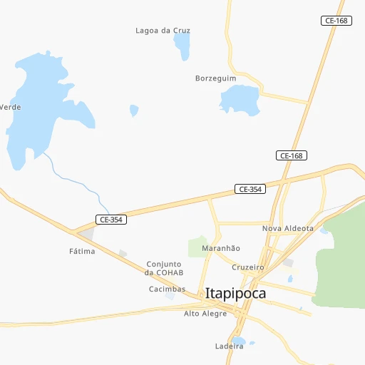
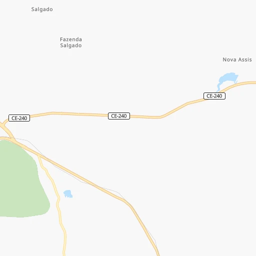
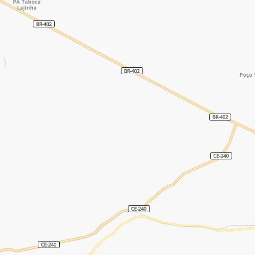
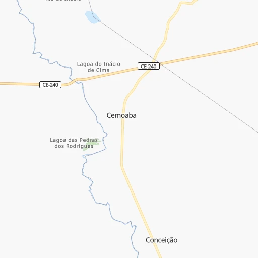
Roadmap (route) to go from Itapipoca to Jaguaruana detailed above, you can also see the course layout on the map.
While doing trip Itapipoca - Jaguaruana by car, the calculated route ends at a distance , or more straight.
Distance and duration of the route between Itapipoca and Jaguaruana
Calculation of distance and route from Jaguaruana to Itapipoca :
248.7309.8 km4h27mn
Continue onto Rua Presmilau Camerino 0h0mn 58 mTurn right onto Rua Eubia Barroso 0h0mn 120 mTurn left onto Rua José de Alencar 0h0mn 90 mTurn left onto Avenida José do Patrocínio 0h0mn 305 mKeep right onto Avenida Monsenhor Tabosa 1h33mn 38.1 kmTurn left onto Rua Major Adelino 0h3mn 2.8 kmTurn right 0h1mn 295 mTurn sharp left onto BR-222 1h57mn 66.9 kmTurn slight right onto BR-222 0h3mn 4.1 kmKeep left onto BR-222 0h3mn 4.0 kmTurn right 0h0mn 19 mKeep left 0h1mn 462 mKeep left 0h1mn 589 mTurn left onto Rodovia Presidente Juscelino Kubitschek 0h1mn 886 mKeep right toward BR-020 0h19mn 22.9 kmKeep right and take BR-116 toward Sudoeste Pacajus, Rio de Janeiro 0h3mn 3.2 kmKeep right 0h5mn 8.5 kmKeep right onto Avenida Coronel Virgílio Távora 0h0mn 276 mTurn right onto BR-116, CE-350 0h12mn 13.1 kmKeep right 0h0mn 364 mKeep left 0h7mn 7.2 kmKeep left and drive toward Chorozinho, Jaguaribe 0h0mn 177 mKeep right 0h0mn 179 mContinue onto Rua Expedito Chaves Cavalcante 0h3mn 3.4 kmTurn left onto Rua dos Expedicionários 0h0mn 310 mKeep right 0h0mn 56 mTurn slight right onto Rua Cônego Eduardo Araripe 0h2mn 2.5 kmKeep left 0h0mn 551 mContinue onto Rodovia Santos Dumont 1h21mn 96.4 kmTurn left 0h17mn 18.9 kmContinue onto Rodovia Desembargador José Barreto de Carvalho 0h12mn 12.7 kmTurn left onto Rua João Francisco de Oliveira 0h0mn 101 mTurn right onto Rua Padre Rocha 0h0mn 54 mTurn sharp left onto Travessa Rozendo Lemos 0h0mn 32 mArrive at destination 0h0mn 0 m
Travel from Itapipoca (Ceará) to a selection of major cities.
Distances from Itapipoca to biggest cities in Ceará
- Eusebio,37,289 inhabitants.133 km
- Beberibe,37,025 inhabitants.178 km
- Quixeramobim,34,321 inhabitants.192 km
- Barbalha,33,943 inhabitants.426 km
- Itapage,32,043 inhabitants.21 km
- Itaitinga,30,938 inhabitants.128 km
- Limoeiro do Norte,29,449 inhabitants.247 km
- Sao Joao dos Inhamuns,29,188 inhabitants.290 km
- Acarau,28,389 inhabitants.91 km
- Ico,28,323 inhabitants.333 km
- Brejo Santo,27,384 inhabitants.450 km
- Ipu,26,678 inhabitants.156 km
- Granja,25,879 inhabitants.145 km
- Boa Viagem,24,671 inhabitants.183 km
- Acopiara,24,561 inhabitants.290 km
- Santa Quiteria,24,391 inhabitants.113 km
- Sao Goncalo do Amarante,23,583 inhabitants.69 km
- Trairi,23,126 inhabitants.42 km
- Jaguaribe,23,065 inhabitants.287 km
- Baturite,22,417 inhabitants.121 km
Other major cities in country :
- Campo Grande [11], 729,151 inhabitants. 2,496 km
- Jaboatao [30], 702,621 inhabitants. 727 km
- Osasco [27], 677,856 inhabitants. 2,362 km
- Santo Andre [27], 662,373 inhabitants. 2,367 km
- Joao Pessoa [17], 650,883 inhabitants. 660 km
- Jaboatao dos Guararapes [30], 630,008 inhabitants. 721 km
- Contagem [15], 627,123 inhabitants. 1,893 km
- Ribeirao Preto [27], 619,746 inhabitants. 2,161 km
- Sao Jose dos Campos [27], 613,764 inhabitants. 2,294 km
- Uberlandia [15], 563,536 inhabitants. 1,961 km
- Sorocaba [27], 558,862 inhabitants. 2,383 km
- Cuiaba [14], 521,934 inhabitants. 2,256 km
- Aparecida de Goiania [29], 510,770 inhabitants. 1,821 km
- Aracaju [28], 490,175 inhabitants. 871 km
- Feira de Santana [05], 481,911 inhabitants. 979 km
- Londrina [18], 471,832 inhabitants. 2,534 km
- Juiz de Fora [15], 470,193 inhabitants. 2,074 km
- Belford Roxo [21], 466,096 inhabitants. 2,184 km
- Joinville [26], 461,304 inhabitants. 2,725 km
- Niteroi [21], 456,456 inhabitants. 2,192 km
Route from Jaguaruana to major cities (Brazil).
- Distance Jaguaruana Sao Paulo2,290 km
- Distance Jaguaruana Rio de Janeiro2,094 km
- Distance Jaguaruana Salvador909 km
- Distance Jaguaruana Belo Horizonte1,807 km
- Distance Jaguaruana Brasilia1,648 km
- Distance Jaguaruana Curitiba2,600 km
- Distance Jaguaruana Manaus2,478 km
- Distance Jaguaruana Recife481 km
- Distance Jaguaruana Belem1,250 km
- Distance Jaguaruana Porto Alegre3,141 km
- Distance Jaguaruana Goiania1,818 km
- Distance Jaguaruana Guarulhos2,277 km
- Distance Jaguaruana Campinas2,246 km
- Distance Jaguaruana Nova Iguacu2,087 km
- Distance Jaguaruana Maceio583 km
- Distance Jaguaruana Sao Luis769 km
- Distance Jaguaruana Duque de Caxias2,085 km
- Distance Jaguaruana Natal304 km
- Distance Jaguaruana Teresina558 km
- Distance Jaguaruana Sao Bernardo do Campo2,301 km
Nearest cities to Itapipoca :
- Fortaleza, 2,400,000 inhabitants. 118 km
- Caucaia, 275,019 inhabitants. 106 km
- Mossoro, 202,005 inhabitants. 311 km
- Maracanau, 193,529 inhabitants. 114 km
- Sobral, 157,996 inhabitants. 88 km
- Parnaiba, 138,008 inhabitants. 253 km
- Iguatu, 70,380 inhabitants. 320 km
- Aquiraz, 65,116 inhabitants. 139 km
- Itapipoca, 55,784 inhabitants. 0 km
- Pacatuba, 55,291 inhabitants. 120 km
- Caico, 54,934 inhabitants. 430 km
- Crateus, 52,933 inhabitants. 224 km
- Cascavel, 52,357 inhabitants. 165 km
- Horizonte, 51,171 inhabitants. 139 km
- Quixada, 49,328 inhabitants. 176 km
- Tiangua, 45,696 inhabitants. 159 km
- Piripiri, 44,864 inhabitants. 259 km
- Camocim, 44,481 inhabitants. 155 km
- Aracati, 44,293 inhabitants. 233 km
- Caninde, 42,720 inhabitants. 101 km
- Pacajus, 41,558 inhabitants. 145 km
- Russas, 39,465 inhabitants. 240 km
- Morada Nova, 37,389 inhabitants. 224 km
- Eusebio, 37,289 inhabitants. 133 km
- Beberibe, 37,025 inhabitants. 178 km
- Acu, 36,125 inhabitants. 376 km
- Quixeramobim, 34,321 inhabitants. 192 km
- Itapage, 32,043 inhabitants. 21 km
- Campo Maior, 31,739 inhabitants. 324 km
- Itaitinga, 30,938 inhabitants. 128 km
- Limoeiro do Norte, 29,449 inhabitants. 247 km
- Sao Joao dos Inhamuns, 29,188 inhabitants. 290 km
- Altos, 28,768 inhabitants. 363 km
- Acarau, 28,389 inhabitants. 91 km
- Ico, 28,323 inhabitants. 333 km
- Ipu, 26,678 inhabitants. 156 km
- Granja, 25,879 inhabitants. 145 km
- Sao Bento, 24,749 inhabitants. 371 km
- Boa Viagem, 24,671 inhabitants. 183 km
- Acopiara, 24,561 inhabitants. 290 km
- Santa Quiteria, 24,391 inhabitants. 113 km
- Sao Goncalo do Amarante, 23,583 inhabitants. 69 km
- Trairi, 23,126 inhabitants. 42 km
- Jaguaribe, 23,065 inhabitants. 287 km
- Baturite, 22,417 inhabitants. 121 km
- Pedro II, 22,038 inhabitants. 233 km
- Nova Russas, 21,986 inhabitants. 174 km
- Varzea Alegre, 21,841 inhabitants. 225 km
- Guaiuba, 21,820 inhabitants. 121 km
- Jaguaruana, 21,790 inhabitants. 249 km
Location Itapipoca (Ceará) :
| Country flag |  |
| Location | Itapipoca |
| State | Ceará |
| County | Itapipoca |
| Country | Brazil |
| Country code / ISO 2 | BR |
| Latitude | -3.4944400 |
| Longitude | -39.5786100 |
| Altitude | 0 meters |
| Time zone | America/Fortaleza |
Location Jaguaruana (Ceará) :
| Country flag | |
| Location | Jaguaruana |
| State | Ceará |
| County | Jaguaruana |
| Country | Brazil |
| Country code / ISO 2 | BR |
| Latitude | -4.8338900 |
| Longitude | -37.7811100 |
| Altitude | 0 meters |
| Time zone | America/Fortaleza |