
How to get from Santo Antônio do Tauá (Pará) to Abaetetuba (Pará)
Calculate route from Santo Antônio do Tauá (Pará, Brazil) to Abaetetuba (Pará, Brazil).
The flight distance (as the crow flies) between Santo Antônio do Tauá and Abaetetuba is 104.7 km.
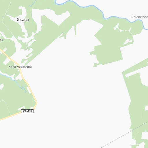
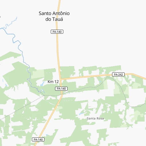
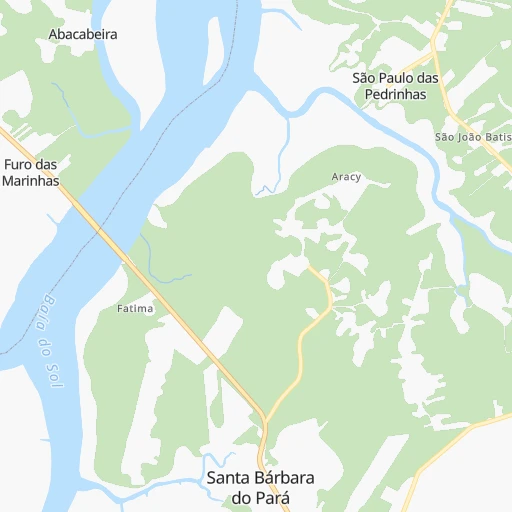
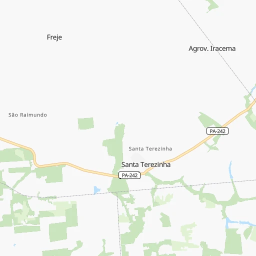
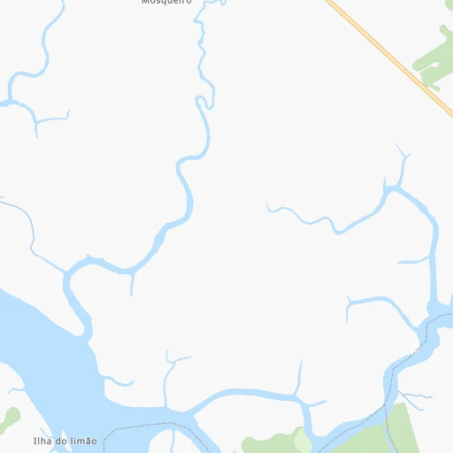
Roadmap (route) to go from Santo Antônio do Tauá to Abaetetuba detailed above, you can also see the course layout on the map.
While doing trip Santo Antônio do Tauá - Abaetetuba by car, the calculated route ends at a distance , or more straight.
Distance and duration of the route between Santo Antônio do Tauá and Abaetetuba
Calculation of distance and route from Abaetetuba to Santo Antônio do Tauá :
104.7145.2 km2h7mn
Continue onto Avenida Senador Lemos 0h4mn 4.3 kmKeep right onto PA-140 0h11mn 12.0 kmKeep right toward BR-316 0h21mn 23.0 kmMake a U-turn onto Avenida Fernando Guilhon 0h0mn 123 mTurn right onto Rua Decouville 0h0mn 219 mTurn right onto Rua Antônio Bezerra Falcão 0h1mn 434 mTurn left onto Rua Alfredo Calado 0h1mn 1.1 kmTurn right onto Passagem Maria de Fátima 0h0mn 221 mTurn sharp left onto Passagem Maria de Fátima 0h0mn 109 mTurn right onto Rua da Mata 0h0mn 150 mTurn sharp left onto Passagem Igarapé da Mata 0h1mn 1.0 kmTurn right 0h1mn 980 mTurn left onto Rua do Uriboca Velha 0h2mn 1.2 kmTurn right 0h1mn 428 mTurn sharp left onto Rodovia Alça Viária 1h51mn 65.4 kmAt roundabout, take exit 3 onto PA-151 0h18mn 21.5 kmAt roundabout, take exit 1 onto Rodovia Doutor João Miranda 0h11mn 12.0 kmContinue onto Avenida Dom Pedro II 0h0mn 247 mTurn right onto Rua Primeiro de Maio 0h1mn 669 mTurn left onto Travessa José Goncalves Chaves 0h0mn 83 mTurn right onto Rua Magno de Araújo 0h0mn 42 mArrive at destination 0h0mn 0 m
Travel from Santo Antônio do Tauá (Pará) to a selection of major cities.
Distances from Santo Antônio do Tauá to biggest cities in Pará
- Vigia,29,229 inhabitants.33 km
- Sao Miguel do Guama,28,265 inhabitants.89 km
- Conceicao do Araguaia,27,115 inhabitants.802 km
- Igarape Miri,26,837 inhabitants.130 km
- Alenquer,26,290 inhabitants.741 km
- Obidos,24,970 inhabitants.827 km
- Igarape Acu,24,136 inhabitants.57 km
- Monte Alegre,22,840 inhabitants.669 km
- Moju,21,510 inhabitants.108 km
- Portel,21,315 inhabitants.312 km
- Itupiranga,21,301 inhabitants.463 km
- Almeirim,20,464 inhabitants.497 km
Other major cities in country :
- Campo Grande [11], 729,151 inhabitants. 2,261 km
- Jaboatao [30], 702,621 inhabitants. 1,653 km
- Osasco [27], 677,856 inhabitants. 2,496 km
- Santo Andre [27], 662,373 inhabitants. 2,512 km
- Joao Pessoa [17], 650,883 inhabitants. 1,615 km
- Jaboatao dos Guararapes [30], 630,008 inhabitants. 1,648 km
- Contagem [15], 627,123 inhabitants. 2,137 km
- Ribeirao Preto [27], 619,746 inhabitants. 2,230 km
- Sao Jose dos Campos [27], 613,764 inhabitants. 2,464 km
- Uberlandia [15], 563,536 inhabitants. 1,978 km
- Sorocaba [27], 558,862 inhabitants. 2,489 km
- Cuiaba [14], 521,934 inhabitants. 1,831 km
- Aparecida de Goiania [29], 510,770 inhabitants. 1,749 km
- Aracaju [28], 490,175 inhabitants. 1,636 km
- Feira de Santana [05], 481,911 inhabitants. 1,598 km
- Londrina [18], 471,832 inhabitants. 2,488 km
- Juiz de Fora [15], 470,193 inhabitants. 2,352 km
- Belford Roxo [21], 466,096 inhabitants. 2,460 km
- Joinville [26], 461,304 inhabitants. 2,801 km
- Niteroi [21], 456,456 inhabitants. 2,479 km
Route from Abaetetuba to major cities (Brazil).
- Distance Abaetetuba Sao Paulo2,442 km
- Distance Abaetetuba Rio de Janeiro2,438 km
- Distance Abaetetuba Salvador1,696 km
- Distance Abaetetuba Fortaleza1,171 km
- Distance Abaetetuba Belo Horizonte2,097 km
- Distance Abaetetuba Brasilia1,569 km
- Distance Abaetetuba Curitiba2,640 km
- Distance Abaetetuba Manaus1,249 km
- Distance Abaetetuba Recife1,705 km
- Distance Abaetetuba Porto Alegre3,162 km
- Distance Abaetetuba Goiania1,666 km
- Distance Abaetetuba Guarulhos2,434 km
- Distance Abaetetuba Campinas2,367 km
- Distance Abaetetuba Nova Iguacu2,415 km
- Distance Abaetetuba Maceio1,703 km
- Distance Abaetetuba Sao Luis517 km
- Distance Abaetetuba Duque de Caxias2,421 km
- Distance Abaetetuba Natal1,585 km
- Distance Abaetetuba Teresina773 km
- Distance Abaetetuba Sao Bernardo do Campo2,459 km
Nearest cities to Santo Antônio do Tauá :
- Belem, 1,407,737 inhabitants. 54 km
- Ananindeua, 433,956 inhabitants. 36 km
- Macapa, 338,936 inhabitants. 353 km
- Castanhal, 137,406 inhabitants. 28 km
- Abaetetuba, 78,050 inhabitants. 105 km
- Tucurui, 76,337 inhabitants. 338 km
- Paragominas, 69,613 inhabitants. 214 km
- Santa Ines, 67,424 inhabitants. 415 km
- Braganca, 57,163 inhabitants. 152 km
- Benevides, 49,794 inhabitants. 27 km
- Capanema, 47,766 inhabitants. 106 km
- Breves, 46,473 inhabitants. 268 km
- Cameta, 45,200 inhabitants. 195 km
- Salinopolis, 40,998 inhabitants. 105 km
- Tome Acu, 34,053 inhabitants. 141 km
- Capitao Poco, 32,704 inhabitants. 136 km
- Barcarena, 29,871 inhabitants. 68 km
- Vigia, 29,229 inhabitants. 33 km
- Sao Miguel do Guama, 28,265 inhabitants. 89 km
- Igarape Miri, 26,837 inhabitants. 130 km
- Igarape Acu, 24,136 inhabitants. 57 km
- Pindare Mirim, 22,933 inhabitants. 413 km
- Moju, 21,510 inhabitants. 108 km
- Portel, 21,315 inhabitants. 312 km
- Viseu, 18,958 inhabitants. 221 km
- Soure, 18,212 inhabitants. 65 km
- Penalva, 17,186 inhabitants. 406 km
- Mocajuba, 16,567 inhabitants. 221 km
- Augusto Correa, 16,279 inhabitants. 167 km
- Santa Helena, 16,045 inhabitants. 337 km
- Tucuma, 15,030 inhabitants. 239 km
- Pio XII, 14,773 inhabitants. 446 km
- Maracacume, 14,164 inhabitants. 261 km
- Vitorino Freire, 13,267 inhabitants. 455 km
- Santa Maria do Para, 12,915 inhabitants. 65 km
- Carutapera, 12,819 inhabitants. 235 km
- Acara, 12,802 inhabitants. 90 km
- Maracana, 12,682 inhabitants. 87 km
- Baiao, 12,316 inhabitants. 250 km
- Moncao, 11,050 inhabitants. 413 km
- Curuca, 10,843 inhabitants. 57 km
- Turiacu, 10,471 inhabitants. 312 km
- Marapanim, 10,236 inhabitants. 68 km
- Oeiras do Para, 10,162 inhabitants. 214 km
- Sao Joao de Pirabas, 10,065 inhabitants. 114 km
- Santo Antonio do Taua, 8,921 inhabitants. 0 km
- Sao Caetano de Odivelas, 8,862 inhabitants. 46 km
- Candido Mendes, 8,613 inhabitants. 271 km
- Ourem, 8,145 inhabitants. 121 km
- Muana, 7,464 inhabitants. 128 km
Location Santo Antônio do Tauá (Pará) :
| Country flag |  |
| Location | Santo Antônio do Tauá |
| State | Pará |
| County | Santo Antônio do Tauá |
| Country | Brazil |
| Country code / ISO 2 | BR |
| Latitude | -1.1519400 |
| Longitude | -48.1294400 |
| Altitude | 0 meters |
| Time zone | America/Belem |
Location Abaetetuba (Pará) :
| Country flag | |
| Location | Abaetetuba |
| State | Pará |
| County | Abaetetuba |
| Country | Brazil |
| Country code / ISO 2 | BR |
| Latitude | -1.7180600 |
| Longitude | -48.8825000 |
| Altitude | 0 meters |
| Time zone | America/Belem |
