
How to get from Sobral (airport) (Ceará) to Quixadá (Ceará)
Calculate route from Sobral (airport) (Ceará, Brazil) to Quixadá (Ceará, Brazil).
The flight distance (as the crow flies) between Sobral (airport) and Quixadá is 205.3 km.
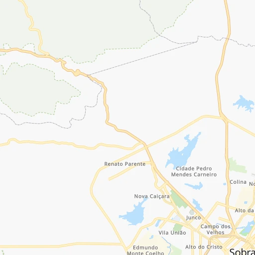
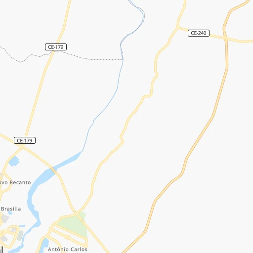
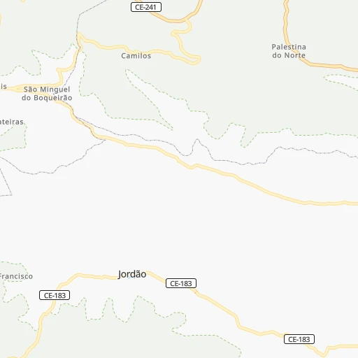
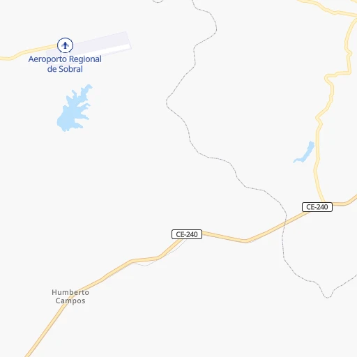
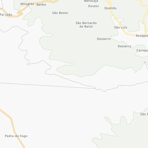
Roadmap (route) to go from Sobral Airport to Quixadá detailed above, you can also see the course layout on the map.
While doing trip Sobral (airport) - Quixadá by car, the calculated route ends at a distance , or more straight.
Distance and duration of the route between Sobral (airport) and Quixadá
Calculation of distance and route from Quixadá to Sobral (airport) :
205.3255.2 km4h7mn
Continue onto Avenida Alonso de Sá Ponte 0h0mn 119 mTurn slight right onto Avenida da Universidade 0h0mn 22 mTurn sharp left onto Avenida da Universidade 0h1mn 660 mTurn left onto Rua Eurípedes Ferreira Gomes 0h0mn 142 mTurn right onto Avenida Eurípedes Ferreira Gomes 0h0mn 86 mTurn right onto Avenida Doutor Guarany 0h0mn 178 mTurn left onto Rua Idelfonso de Holanda Cavalcante 0h4mn 3.7 kmTurn left onto BR-222, BR-403 0h10mn 11.8 kmKeep right onto CE-362 and take CE-362 toward santa quitéria, canindé 1h35mn 31.5 kmKeep left onto CE-176 0h1mn 804 mKeep right and drive toward Rodovia Deputado Joaquim Barreto Lima 1h45mn 45.3 kmTurn left onto Rodovia Deputado Francisco Figueiredo de Paula Pessoa 1h50mn 60.2 kmTurn sharp right 0h0mn 11 mTurn sharp left onto Rua Euclides Barroso 0h2mn 1.4 kmTurn right onto Rua Tabelião Facundo 0h0mn 39 mTurn left onto Rua Severiano Martins 0h0mn 179 mTurn right 0h0mn 35 mTurn left onto Rua Romeu Martins 0h1mn 554 mTurn right onto Avenida José Veloso Jucá 0h23mn 27.0 kmTurn left 1h44mn 44.2 kmTurn right onto Rua Coronel João Paracampos 0h15mn 13.2 kmKeep right onto CE-060 0h14mn 13.1 kmTurn left onto Rua Doutor Francisco de Assis Brasileiro 0h0mn 374 mTurn right onto Avenida Plácido Castelo 0h0mn 429 mTurn left 0h0mn 68 mTurn right onto Rua Pascoal Crispino 0h0mn 79 mArrive at destination 0h0mn 0 m
Travel from Sobral (airport) (Ceará) to a selection of major cities.
Distances from Sobral Airport to biggest cities in Ceará
- Morada Nova,37,389 inhabitants.270 km
- Eusebio,37,289 inhabitants.211 km
- Beberibe,37,025 inhabitants.252 km
- Quixeramobim,34,321 inhabitants.205 km
- Barbalha,33,943 inhabitants.420 km
- Itapage,32,043 inhabitants.84 km
- Itaitinga,30,938 inhabitants.204 km
- Limoeiro do Norte,29,449 inhabitants.298 km
- Sao Joao dos Inhamuns,29,188 inhabitants.258 km
- Acarau,28,389 inhabitants.92 km
- Ico,28,323 inhabitants.344 km
- Brejo Santo,27,384 inhabitants.450 km
- Ipu,26,678 inhabitants.83 km
- Granja,25,879 inhabitants.82 km
- Boa Viagem,24,671 inhabitants.175 km
- Acopiara,24,561 inhabitants.286 km
- Santa Quiteria,24,391 inhabitants.75 km
- Sao Goncalo do Amarante,23,583 inhabitants.153 km
- Trairi,23,126 inhabitants.127 km
- Jaguaribe,23,065 inhabitants.311 km
Other major cities in country :
- Campo Grande [11], 729,151 inhabitants. 2,426 km
- Jaboatao [30], 702,621 inhabitants. 775 km
- Osasco [27], 677,856 inhabitants. 2,316 km
- Santo Andre [27], 662,373 inhabitants. 2,322 km
- Joao Pessoa [17], 650,883 inhabitants. 717 km
- Jaboatao dos Guararapes [30], 630,008 inhabitants. 769 km
- Contagem [15], 627,123 inhabitants. 1,854 km
- Ribeirao Preto [27], 619,746 inhabitants. 2,109 km
- Sao Jose dos Campos [27], 613,764 inhabitants. 2,251 km
- Uberlandia [15], 563,536 inhabitants. 1,904 km
- Sorocaba [27], 558,862 inhabitants. 2,336 km
- Cuiaba [14], 521,934 inhabitants. 2,177 km
- Aparecida de Goiania [29], 510,770 inhabitants. 1,757 km
- Aracaju [28], 490,175 inhabitants. 882 km
- Feira de Santana [05], 481,911 inhabitants. 968 km
- Londrina [18], 471,832 inhabitants. 2,476 km
- Juiz de Fora [15], 470,193 inhabitants. 2,039 km
- Belford Roxo [21], 466,096 inhabitants. 2,150 km
- Joinville [26], 461,304 inhabitants. 2,677 km
- Niteroi [21], 456,456 inhabitants. 2,158 km
Route from Quixadá to major cities (Brazil).
- Distance Quixadá Sao Paulo2,224 km
- Distance Quixadá Rio de Janeiro2,046 km
- Distance Quixadá Salvador892 km
- Distance Quixadá Belo Horizonte1,748 km
- Distance Quixadá Brasilia1,548 km
- Distance Quixadá Curitiba2,527 km
- Distance Quixadá Manaus2,342 km
- Distance Quixadá Recife572 km
- Distance Quixadá Belem1,125 km
- Distance Quixadá Porto Alegre3,071 km
- Distance Quixadá Goiania1,717 km
- Distance Quixadá Guarulhos2,211 km
- Distance Quixadá Campinas2,176 km
- Distance Quixadá Nova Iguacu2,037 km
- Distance Quixadá Maceio636 km
- Distance Quixadá Sao Luis647 km
- Distance Quixadá Duque de Caxias2,036 km
- Distance Quixadá Natal432 km
- Distance Quixadá Teresina420 km
- Distance Quixadá Sao Bernardo do Campo2,236 km
Nearest cities to Sobral (airport) :
- Fortaleza, 2,400,000 inhabitants. 200 km
- Teresina, 744,512 inhabitants. 315 km
- Caucaia, 275,019 inhabitants. 188 km
- Mossoro, 202,005 inhabitants. 373 km
- Maracanau, 193,529 inhabitants. 192 km
- Sobral, 157,996 inhabitants. 1 km
- Parnaiba, 138,008 inhabitants. 181 km
- Timon, 124,427 inhabitants. 319 km
- Iguatu, 70,380 inhabitants. 320 km
- Aquiraz, 65,116 inhabitants. 218 km
- Itapipoca, 55,784 inhabitants. 87 km
- Pacatuba, 55,291 inhabitants. 194 km
- Crateus, 52,933 inhabitants. 171 km
- Cascavel, 52,357 inhabitants. 238 km
- Horizonte, 51,171 inhabitants. 211 km
- Quixada, 49,328 inhabitants. 206 km
- Tiangua, 45,696 inhabitants. 73 km
- Piripiri, 44,864 inhabitants. 173 km
- Camocim, 44,481 inhabitants. 103 km
- Aracati, 44,293 inhabitants. 302 km
- Caninde, 42,720 inhabitants. 137 km
- Pacajus, 41,558 inhabitants. 216 km
- Russas, 39,465 inhabitants. 298 km
- Morada Nova, 37,389 inhabitants. 270 km
- Eusebio, 37,289 inhabitants. 211 km
- Beberibe, 37,025 inhabitants. 252 km
- Coelho Neto, 36,184 inhabitants. 304 km
- Quixeramobim, 34,321 inhabitants. 205 km
- Itapage, 32,043 inhabitants. 84 km
- Campo Maior, 31,739 inhabitants. 240 km
- Itaitinga, 30,938 inhabitants. 204 km
- Limoeiro do Norte, 29,449 inhabitants. 298 km
- Sao Joao dos Inhamuns, 29,188 inhabitants. 258 km
- Altos, 28,768 inhabitants. 280 km
- Acarau, 28,389 inhabitants. 92 km
- Ico, 28,323 inhabitants. 344 km
- Ipu, 26,678 inhabitants. 83 km
- Granja, 25,879 inhabitants. 82 km
- Sao Bento, 24,749 inhabitants. 408 km
- Boa Viagem, 24,671 inhabitants. 175 km
- Acopiara, 24,561 inhabitants. 286 km
- Santa Quiteria, 24,391 inhabitants. 75 km
- Sao Goncalo do Amarante, 23,583 inhabitants. 153 km
- Trairi, 23,126 inhabitants. 127 km
- Jaguaribe, 23,065 inhabitants. 311 km
- Baturite, 22,417 inhabitants. 177 km
- Pedro II, 22,038 inhabitants. 149 km
- Nova Russas, 21,986 inhabitants. 117 km
- Varzea Alegre, 21,841 inhabitants. 186 km
- Guaiuba, 21,820 inhabitants. 193 km
Location Sobral (airport) (Ceará) :
| Country flag |  |
| Location | Sobral (airport) |
| State | Ceará |
| County | Sobral |
| Country | Brazil |
| Country code / ISO 2 | BR |
| Latitude | -3.6795200 |
| Longitude | -40.3404200 |
| Altitude | 0 meters |
| Time zone | America/Fortaleza |
Location Quixadá (Ceará) :
| Country flag | |
| Location | Quixadá |
| State | Ceará |
| County | Quixadá |
| Country | Brazil |
| Country code / ISO 2 | BR |
| Latitude | -4.9713900 |
| Longitude | -39.0152800 |
| Altitude | 0 meters |
| Time zone | America/Fortaleza |