
How to get from Parow (Western Cape) to Fraserburg (Northern Cape)
Calculate route from Parow (Western Cape, South Africa) to Fraserburg (Northern Cape, South Africa).
The flight distance (as the crow flies) between Parow and Fraserburg is 351.2 km.
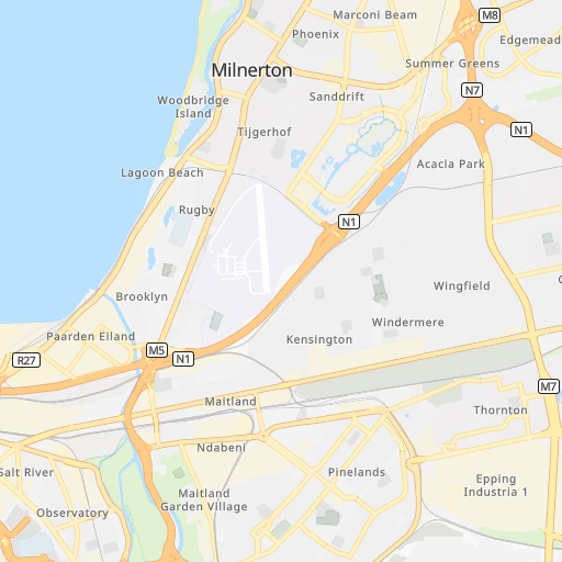
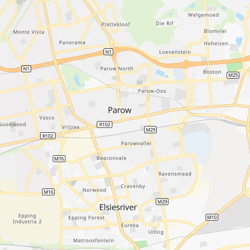
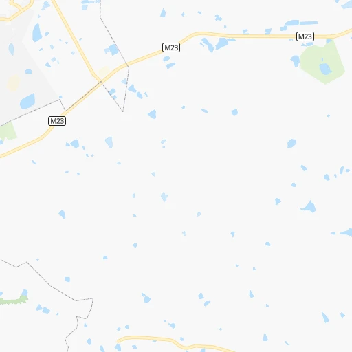
Roadmap (route) to go from Parow to Fraserburg detailed above, you can also see the course layout on the map.
While doing trip Parow - Fraserburg by car, the calculated route ends at a distance , or more straight.
Distance and duration of the route between Parow and Fraserburg
Calculation of distance and route from Fraserburg to Parow :
351.2482.3 km6h38mn
Continue onto Wrensch Road 0h0mn 59 mTurn left onto 3rd Avenue 0h0mn 331 mTurn left onto McIntyre Road 0h1mn 572 mAt roundabout, take exit 3 onto Frans Conradie Drive 0h3mn 2.3 kmTurn left onto Mike Pienaar Boulevard 0h1mn 576 mTurn right and take M16, N1 toward Paarl 0h23mn 41.1 kmKeep right onto N1 0h17mn 24.4 kmTurn right onto R101 0h12mn 17.7 kmTurn right onto N1 3h50mn 282.8 kmTurn left onto R353 2h52mn 112.3 kmTurn right onto Schalkwyk Street 0h0mn 109 mArrive at destination 0h0mn 0 m
Travel from Parow (Northern Cape) to a selection of major cities.
Distances from Parow to biggest cities in Western Cape
Other major cities in country :
- Richards Bay [02], 252,968 inhabitants. 1,399 km
- Vanderbijlpark [06], 246,754 inhabitants. 1,195 km
- Centurion [06], 233,386 inhabitants. 1,287 km
- Uitenhage [05], 228,912 inhabitants. 630 km
- Roodepoort [06], 225,000 inhabitants. 1,241 km
- Springs [06], 186,394 inhabitants. 1,271 km
- Carletonville [06], 182,304 inhabitants. 1,193 km
- Klerksdorp [10], 178,921 inhabitants. 1,103 km
- Midrand [06], 173,009 inhabitants. 1,273 km
- Westonaria [06], 156,831 inhabitants. 1,213 km
- Middelburg [07], 154,706 inhabitants. 1,385 km
- Vryheid [02], 150,012 inhabitants. 1,350 km
- Orkney [10], 145,801 inhabitants. 1,093 km
- Kimberley [08], 142,089 inhabitants. 822 km
- eMbalenhle [07], 141,741 inhabitants. 1,298 km
- Nigel [06], 140,644 inhabitants. 1,263 km
- Mpumalanga [02], 140,121 inhabitants. 1,226 km
- Bhisho [05], 137,287 inhabitants. 832 km
- Randfontein [06], 133,654 inhabitants. 1,228 km
- Rustenburg [10], 124,064 inhabitants. 1,240 km
Route from Fraserburg to major cities (South Africa).
- Distance Fraserburg Cape Town365 km
- Distance Fraserburg Durban937 km
- Distance Fraserburg Johannesburg899 km
- Distance Fraserburg Soweto881 km
- Distance Fraserburg Pretoria946 km
- Distance Fraserburg Port Elizabeth446 km
- Distance Fraserburg Pietermaritzburg887 km
- Distance Fraserburg Benoni919 km
- Distance Fraserburg Tembisa928 km
- Distance Fraserburg East London613 km
- Distance Fraserburg Vereeniging853 km
- Distance Fraserburg Bloemfontein548 km
- Distance Fraserburg Boksburg913 km
- Distance Fraserburg Welkom668 km
- Distance Fraserburg Newcastle935 km
- Distance Fraserburg Krugersdorp890 km
- Distance Fraserburg Diepsloot919 km
- Distance Fraserburg Randburg905 km
- Distance Fraserburg Botshabelo580 km
- Distance Fraserburg Brakpan919 km
Nearest cities to Parow :
- Cape Town, 3,433,441 inhabitants. 15 km
- Paarl, 190,000 inhabitants. 41 km
- Worcester, 127,597 inhabitants. 85 km
- Stellenbosch, 94,263 inhabitants. 26 km
- Saldanha, 68,284 inhabitants. 115 km
- Atlantis, 60,266 inhabitants. 38 km
- Kraaifontein, 57,911 inhabitants. 14 km
- Wellington, 55,543 inhabitants. 49 km
- Ceres, 41,596 inhabitants. 90 km
- Vredenburg, 38,382 inhabitants. 124 km
- Malmesbury, 34,991 inhabitants. 51 km
- Retreat, 32,289 inhabitants. 20 km
- Grabouw, 29,885 inhabitants. 49 km
- Robertson, 27,715 inhabitants. 121 km
- Hermanus, 25,153 inhabitants. 83 km
- Lansdowne, 17,399 inhabitants. 13 km
- Riversdale, 16,176 inhabitants. 248 km
- Montagu, 15,176 inhabitants. 143 km
- Rondebosch, 15,158 inhabitants. 12 km
- Bredasdorp, 14,936 inhabitants. 151 km
- Vredendal, 14,806 inhabitants. 249 km
- Claremont, 14,531 inhabitants. 14 km
- Swellendam, 13,674 inhabitants. 172 km
- Rosebank, 10,000 inhabitants. 12 km
- Calvinia, 8,146 inhabitants. 293 km
- Hardys Memories of Africa, 7,500 inhabitants. 197 km
- Ladismith, 7,127 inhabitants. 253 km
- Constantia, 6,922 inhabitants. 21 km
- Albertina, 6,372 inhabitants. 278 km
- Newlands, 5,343 inhabitants. 15 km
- Caledon, 4,687 inhabitants. 86 km
- Zoar, 4,659 inhabitants. 269 km
- Bergvliet, 3,902 inhabitants. 20 km
- Fraserburg, 3,029 inhabitants. 352 km
Location Parow (Western Cape) :
| Country flag |  |
| Location | Parow |
| State | Western Cape |
| County | City of Cape Town |
| Country | South Africa |
| Country code / ISO 2 | ZA |
| Latitude | -33.9000000 |
| Longitude | 18.5833300 |
| Altitude | 0 meters |
| Time zone | Africa/Johannesburg |
Location Fraserburg (Northern Cape) :
| Country flag | |
| Location | Fraserburg |
| State | Northern Cape |
| County | Namakwa District Municipality |
| Country | South Africa |
| Country code / ISO 2 | ZA |
| Latitude | -31.9156600 |
| Longitude | 21.5133500 |
| Altitude | 0 meters |
| Time zone | Africa/Johannesburg |