

How to get from Detva (Banskobystrický) to Snina (Prešovský)
Calculate route from Detva (Banskobystrický, Slovakia) to Snina (Prešovský, Slovakia).
The flight distance (as the crow flies) between Detva and Snina is 205.6 km.
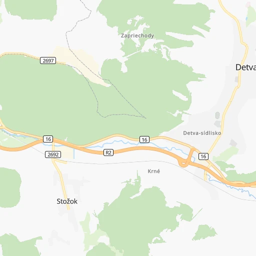
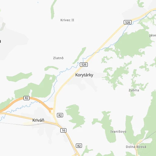
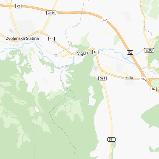
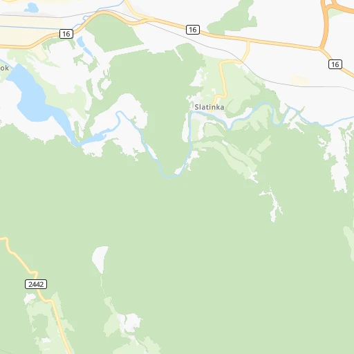
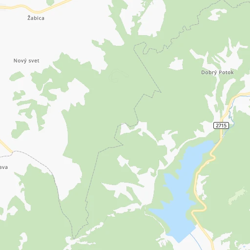
Roadmap (route) to go from Detva to Snina detailed above, you can also see the course layout on the map.
While doing trip Detva - Snina by car, the calculated route ends at a distance , or more straight.
Distance and duration of the route between Detva and Snina
Calculation of distance and route from Snina to Detva :
205.6282.4 km4h3mn
Continue 0h0mn 13 mTurn left onto Partizánska 0h3mn 2.7 kmKeep left onto M. R. Štefánika 0h0mn 26 mTurn left onto 16 0h4mn 4.0 kmAt roundabout, take exit 2 onto 16 0h10mn 8.5 kmKeep left onto 16 0h7mn 13.2 kmContinue onto 16 0h5mn 6.1 kmKeep left onto 16 0h19mn 24.8 kmKeep right onto Košická cesta and take 16, 531 toward Košice, Rožňava, Jesenské, Centrum 0h0mn 41 mAt roundabout, take exit 3 onto Košická cesta 2h41mn 124.1 kmContinue onto Moldavská cesta 0h1mn 610 mContinue onto Moldavská cesta and drive toward Prešov, Spišská Nová Ves, Centrum 0h0mn 30 mAt roundabout, take exit 2 onto Moldavská cesta 0h2mn 1.8 kmContinue onto Štúrova 0h1mn 538 mKeep left onto Námestie osloboditeľov 0h1mn 1.1 kmKeep left onto 16 0h1mn 425 mKeep right onto 16 and drive toward Michalovce, Sečovce 0h6mn 6.3 kmAt roundabout, take exit 2 0h1mn 1.0 kmKeep right and take D1 toward Uzhhorod, Michalovce 0h5mn 8.2 kmAt roundabout, take exit 2 onto 576 0h1mn 732 mKeep right 0h0mn 48 mTurn slight right onto 19 0h12mn 13.1 kmTurn left onto 3650 0h5mn 4.9 kmTurn left onto 3652 0h7mn 7.6 kmTurn left onto Hlavná 0h5mn 5.2 kmTurn right onto Dlhá 0h2mn 2.5 kmKeep left onto 3624 0h3mn 3.9 kmTurn right onto 18 0h8mn 9.4 kmKeep left 0h0mn 24 mAt roundabout, take exit 3 onto 74 0h9mn 10.1 kmAt roundabout, take exit 1 onto 559 0h0mn 268 mTurn right onto Námestie slobody 0h0mn 144 mTurn right onto Laborecká 0h0mn 106 mTurn left onto Námestie slobody 0h0mn 247 mTurn right 0h0mn 31 mTurn left onto Štefánikova 0h21mn 19.9 kmAt roundabout, take exit 4 0h1mn 494 mTurn right onto Hviezdoslavova 0h0mn 165 mArrive at destination 0h0mn 0 m
Travel from Detva (Prešovský) to a selection of major cities.
Distances from Detva to biggest cities in Banskobystrický
Other major cities in country :
Route from Snina to major cities (Slovakia).
- Distance Snina Bratislava383 km
- Distance Snina Kosice72 km
- Distance Snina Nitra308 km
- Distance Snina Zilina250 km
- Distance Snina Banska Bystrica221 km
- Distance Snina Trnava342 km
- Distance Snina Martin236 km
- Distance Snina Trencin300 km
- Distance Snina Prievidza259 km
Nearest cities to Detva :
- Bratislava, 423,737 inhabitants. 177 km
- Kosice, 236,563 inhabitants. 136 km
- Presov, 94,718 inhabitants. 142 km
- Nitra, 86,329 inhabitants. 103 km
- Zilina, 85,985 inhabitants. 89 km
- Banska Bystrica, 82,336 inhabitants. 28 km
- Trnava, 69,785 inhabitants. 137 km
- Martin, 60,817 inhabitants. 67 km
- Trencin, 58,278 inhabitants. 108 km
- Poprad, 57,431 inhabitants. 85 km
- Prievidza, 52,987 inhabitants. 63 km
- Zvolen, 44,502 inhabitants. 20 km
- Povazska Bystrica, 43,936 inhabitants. 96 km
- Nove Zamky, 42,044 inhabitants. 113 km
- Michalovce, 40,360 inhabitants. 185 km
- Spisska Nova Ves, 39,195 inhabitants. 94 km
- Levice, 37,574 inhabitants. 71 km
- Komarno, 36,279 inhabitants. 131 km
- Humenne, 35,367 inhabitants. 188 km
- Liptovsky Mikulas, 33,509 inhabitants. 60 km
- Bardejov, 33,060 inhabitants. 158 km
- Ruzomberok, 30,806 inhabitants. 58 km
- Piestany, 30,000 inhabitants. 117 km
- Lucenec, 28,159 inhabitants. 31 km
- Dubnica nad Vahom, 26,617 inhabitants. 102 km
- Rimavska Sobota, 25,235 inhabitants. 49 km
- Cadca, 24,670 inhabitants. 108 km
- Sellye, 24,513 inhabitants. 123 km
- Partizanske, 24,370 inhabitants. 77 km
- Hlohovec, 23,930 inhabitants. 120 km
- Dunajska Streda, 23,639 inhabitants. 148 km
- Vranov nad Topl'ou, 23,246 inhabitants. 170 km
- Trebisov, 22,947 inhabitants. 169 km
- Snina, 22,221 inhabitants. 206 km
- Senica, 21,741 inhabitants. 152 km
- Nove Mesto nad Vahom, 21,527 inhabitants. 119 km
- Kezmarok, 21,391 inhabitants. 98 km
- Pezinok, 21,343 inhabitants. 162 km
- Brezno, 21,331 inhabitants. 31 km
- Ziar nad Hronom, 19,392 inhabitants. 42 km
- Roznava, 19,261 inhabitants. 83 km
- Dolny Kubin, 18,995 inhabitants. 73 km
- Banovce nad Bebravou, 18,933 inhabitants. 87 km
- Puchov, 18,833 inhabitants. 102 km
- Handlova, 18,018 inhabitants. 52 km
- Malacky, 17,773 inhabitants. 177 km
- Kysucke Nove Mesto, 16,558 inhabitants. 95 km
- Galanta, 16,365 inhabitants. 132 km
- Stara L'ubovna, 16,000 inhabitants. 124 km
- Zlate Moravce, 15,618 inhabitants. 78 km
Location Detva (Banskobystrický) :
| Country flag |  |
| Location | Detva |
| State | Banskobystrický |
| County | |
| Country | Slovakia |
| Country code / ISO 2 | SK |
| Latitude | 48.5608200 |
| Longitude | 19.4195400 |
| Altitude | 0 meters |
| Time zone | Europe/Bratislava |
Location Snina (Prešovský) :
| Country flag | |
| Location | Snina |
| State | Prešovský |
| County | |
| Country | Slovakia |
| Country code / ISO 2 | SK |
| Latitude | 48.9885700 |
| Longitude | 22.1509900 |
| Altitude | 0 meters |
| Time zone | Europe/Bratislava |


