

How to get from Zebegény Vasútállomás (Pest) to Zalaegerszeg (Zala)
Calculate route from Zebegény Vasútállomás (Pest, Hungary) to Zalaegerszeg (Zala, Hungary).
The flight distance (as the crow flies) between Zebegény Vasútállomás and Zalaegerszeg is 189.1 km.
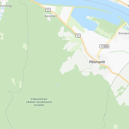
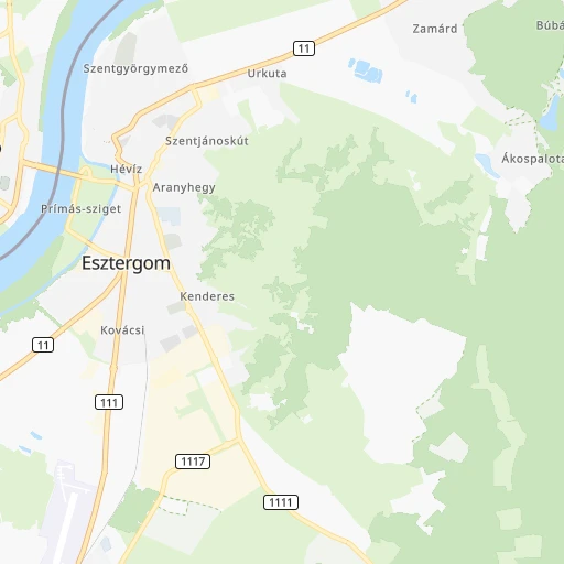
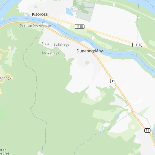
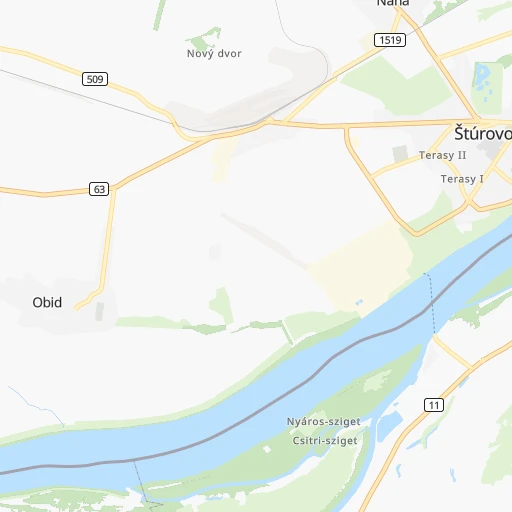
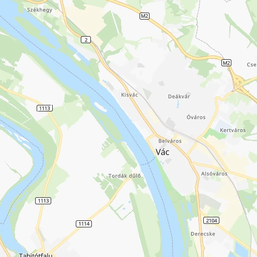
Roadmap (route) to go from Zebegény Vasútállomás to Zalaegerszeg detailed above, you can also see the course layout on the map.
While doing trip Zebegény Vasútállomás - Zalaegerszeg by car, the calculated route ends at a distance , or more straight.
Distance and duration of the route between Zebegény Vasútállomás and Zalaegerszeg
Calculation of distance and route from Zalaegerszeg to Zebegény Vasútállomás :
189.1243.3 km4h32mn
Continue 0h1mn 144 mKeep right 0h2mn 478 mTurn left onto Kossuth Lajos út 0h0mn 156 mKeep right onto Petőfi tér 0h0mn 116 mContinue onto Petőfi tér 0h0mn 104 mTurn right onto Ország út 0h7mn 7.4 kmAt roundabout, take exit 3 onto 12125 0h11mn 9.3 kmTurn left onto 564 0h3mn 3.8 kmKeep right onto 564 0h0mn 56 mTurn slight right onto 76 0h1mn 750 mTurn sharp left onto 1. mája 0h3mn 2.2 kmTurn right onto Železničný rad 0h26mn 29.0 kmTurn left onto 63 0h12mn 14.5 kmTurn sharp left onto Novozámocká cesta 0h3mn 2.1 kmAt roundabout, take exit 2 onto Záhradnícka 0h1mn 668 mTurn slight right onto Lehárova 0h1mn 467 mAt roundabout, take exit 2 onto 64a 0h0mn 131 mAt roundabout, take exit 1 onto 64a 0h1mn 469 mTurn right onto Rákóczi Ferenc rakpart 0h2mn 1.5 kmTurn right onto Ácsi út 0h2mn 1.2 kmAt roundabout, take exit 2 onto Ácsi út 0h4mn 4.7 kmTurn left onto 8153 and drive toward Bábolna, Ács 0h1mn 1.2 kmTurn left onto 8151 0h0mn 255 mTurn right onto Komáromi utca 0h5mn 5.1 kmTurn left 0h15mn 29.4 kmKeep right and take 83 toward Győr-Marcalváros, Pápa, Győr-Ménfőcsanak 0h0mn 264 mAt roundabout, take exit 2 onto 83 0h0mn 272 mAt roundabout, take exit 1 0h0mn 469 mAt roundabout, take exit 1 onto 83 0h1mn 716 mAt roundabout, take exit 2 onto 83 0h1mn 861 mAt roundabout, take exit 2 onto 83 0h25mn 39.3 kmAt roundabout, take exit 2 onto MiG-21 körforgalom 0h1mn 1.4 kmAt roundabout, take exit 1 onto 8403 0h21mn 20.9 kmKeep left onto 8403 0h11mn 11.1 kmTurn right onto 8 0h5mn 6.5 kmAt roundabout, take exit 2 onto 8 0h5mn 6.8 kmTurn left onto 7355 0h3mn 2.9 kmTurn left onto Hunyadi utca 0h8mn 7.8 kmKeep left onto Rákóczi Ferenc utca 0h2mn 2.4 kmTurn left onto Rákóczi Ferenc utca 0h1mn 726 mKeep right onto Tilaji utca 0h10mn 9.6 kmTurn right onto Petőfi Sándor utca 0h12mn 13.0 kmAt roundabout, take exit 2 onto 7428 0h0mn 368 mAt roundabout, take exit 3 onto Kaszaházi út 0h2mn 1.6 kmTurn right onto Budai Nagy Antal utca 0h0mn 158 mTurn left onto Munkácsy Mihály utca 0h1mn 703 mAt roundabout, take exit 3 onto Kisfaludy Sándor utca 0h0mn 174 mTurn right onto Ady Endre utca 0h0mn 163 mArrive at destination 0h0mn 0 m
Travel from Zebegény Vasútállomás (Zala) to a selection of major cities.
Distances from Zebegény Vasútállomás to biggest cities in Pest
Other major cities in country :
- Budapest XVII. keruelet [05], 78,250 inhabitants. 44 km
- Jozsefvaros [05], 76,957 inhabitants. 37 km
- Budapest XXI. keruelet [05], 76,339 inhabitants. 43 km
- Paradsasvar [11], 76,000 inhabitants. 80 km
- Szolnok [20], 75,474 inhabitants. 118 km
- Tatabanya [12], 70,541 inhabitants. 46 km
- Budapest XVI. keruelet [05], 68,484 inhabitants. 37 km
- Kaposvar [17], 67,746 inhabitants. 181 km
- Bekescsaba [03], 65,206 inhabitants. 207 km
- Budapest XX. keruelet [05], 63,371 inhabitants. 43 km
- Veszprem [23], 62,023 inhabitants. 109 km
- Erzsebetvaros [05], 62,000 inhabitants. 35 km
- Zalaegerszeg [24], 61,898 inhabitants. 189 km
- Budapest XIX. keruelet [05], 61,610 inhabitants. 42 km
- Kispest [05], 61,453 inhabitants. 42 km
- Sopron [09], 57,210 inhabitants. 175 km
- Eger [11], 56,647 inhabitants. 109 km
- Budapest XII. keruelet [05], 56,544 inhabitants. 35 km
- Nagykanizsa [24], 50,823 inhabitants. 209 km
- Budapest XXII. keruelet [05], 50,499 inhabitants. 43 km
Route from Zalaegerszeg to major cities (Hungary).
- Distance Zalaegerszeg Budapest182 km
- Distance Zalaegerszeg Debrecen370 km
- Distance Zalaegerszeg Miskolc328 km
- Distance Zalaegerszeg Szeged261 km
- Distance Zalaegerszeg Pecs136 km
- Distance Zalaegerszeg Budapest XI. keruelet180 km
- Distance Zalaegerszeg Zuglo187 km
- Distance Zalaegerszeg Gyor111 km
- Distance Zalaegerszeg Budapest III. keruelet184 km
- Distance Zalaegerszeg Nyiregyhaza388 km
- Distance Zalaegerszeg Budapest XIII. keruelet186 km
- Distance Zalaegerszeg Kecskemet217 km
- Distance Zalaegerszeg Szekesfehervar125 km
- Distance Zalaegerszeg Budapest IV. keruelet188 km
- Distance Zalaegerszeg Budapest XVIII. keruelet189 km
- Distance Zalaegerszeg Budapest II. keruelet181 km
- Distance Zalaegerszeg Budapest VIII. keruelet183 km
- Distance Zalaegerszeg Budapest XV. keruelet190 km
- Distance Zalaegerszeg Szombathely47 km
- Distance Zalaegerszeg Budapest X. keruelet189 km
Nearest cities to Zebegény Vasútállomás :
- Budapest, 1,741,041 inhabitants. 35 km
- Debrecen, 204,124 inhabitants. 206 km
- Miskolc, 172,637 inhabitants. 143 km
- Szeged, 164,883 inhabitants. 196 km
- Pecs, 156,649 inhabitants. 198 km
- Budapest XI. keruelet, 139,049 inhabitants. 37 km
- Zuglo, 130,000 inhabitants. 34 km
- Gyor, 128,265 inhabitants. 97 km
- Budapest III. keruelet, 123,723 inhabitants. 30 km
- Nyiregyhaza, 116,298 inhabitants. 210 km
- Budapest XIII. keruelet, 113,531 inhabitants. 32 km
- Kecskemet, 109,847 inhabitants. 115 km
- Szekesfehervar, 101,600 inhabitants. 78 km
- Budapest IV. keruelet, 98,374 inhabitants. 29 km
- Budapest XVIII. keruelet, 93,225 inhabitants. 44 km
- Budapest II. keruelet, 88,729 inhabitants. 32 km
- Budapest VIII. keruelet, 82,222 inhabitants. 36 km
- Budapest XV. keruelet, 80,218 inhabitants. 30 km
- Szombathely, 79,534 inhabitants. 184 km
- Budapest X. keruelet, 79,270 inhabitants. 40 km
- Budapest XVII. keruelet, 78,250 inhabitants. 44 km
- Jozsefvaros, 76,957 inhabitants. 37 km
- Budapest XXI. keruelet, 76,339 inhabitants. 43 km
- Paradsasvar, 76,000 inhabitants. 80 km
- Szolnok, 75,474 inhabitants. 118 km
- Tatabanya, 70,541 inhabitants. 46 km
- Budapest XVI. keruelet, 68,484 inhabitants. 37 km
- Kaposvar, 67,746 inhabitants. 181 km
- Bekescsaba, 65,206 inhabitants. 207 km
- Budapest XX. keruelet, 63,371 inhabitants. 43 km
- Erd, 62,408 inhabitants. 45 km
- Veszprem, 62,023 inhabitants. 109 km
- Erzsebetvaros, 62,000 inhabitants. 35 km
- Zalaegerszeg, 61,898 inhabitants. 189 km
- Budapest XIX. keruelet, 61,610 inhabitants. 42 km
- Kispest, 61,453 inhabitants. 42 km
- Sopron, 57,210 inhabitants. 175 km
- Eger, 56,647 inhabitants. 109 km
- Budapest XII. keruelet, 56,544 inhabitants. 35 km
- Nagykanizsa, 50,823 inhabitants. 209 km
- Budapest XXII. keruelet, 50,499 inhabitants. 43 km
- Dunaujvaros, 50,084 inhabitants. 93 km
- Hodmezovasarhely, 47,485 inhabitants. 188 km
- Budapest VI. keruelet, 42,120 inhabitants. 35 km
- Salgotarjan, 39,640 inhabitants. 74 km
- Cegled, 39,287 inhabitants. 96 km
- Ozd, 38,476 inhabitants. 113 km
- Baja, 37,714 inhabitants. 181 km
- Vac, 35,108 inhabitants. 17 km
- Szekszard, 34,174 inhabitants. 162 km
Location Zebegény Vasútállomás (Pest) :
| Country flag |  |
| Location | Zebegény Vasútállomás |
| State | Pest |
| County | |
| Country | Hungary |
| Country code / ISO 2 | HU |
| Latitude | 47.8000000 |
| Longitude | 18.9166700 |
| Altitude | 0 meters |
| Time zone | Europe/Budapest |
Location Zalaegerszeg (Zala) :
| Country flag | |
| Location | Zalaegerszeg |
| State | Zala |
| County | |
| Country | Hungary |
| Country code / ISO 2 | HU |
| Latitude | 46.8400000 |
| Longitude | 16.8438900 |
| Altitude | 0 meters |
| Time zone | Europe/Budapest |
