
How to get from Bahnhof Süßenbrunn (Vienna) to Ried im Innkreis (Upper Austria)
Calculate route from Bahnhof Süßenbrunn (Vienna, Austria) to Ried im Innkreis (Upper Austria, Austria).
The flight distance (as the crow flies) between Bahnhof Süßenbrunn and Ried im Innkreis is 221.9 km.
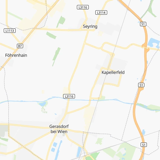
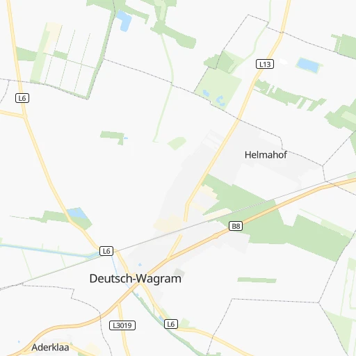
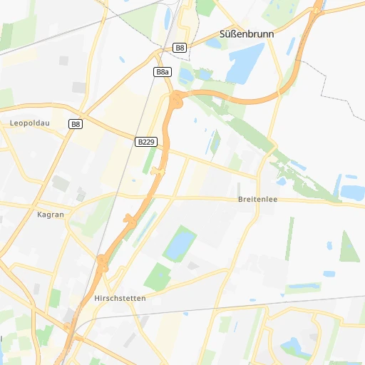
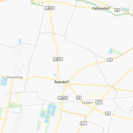
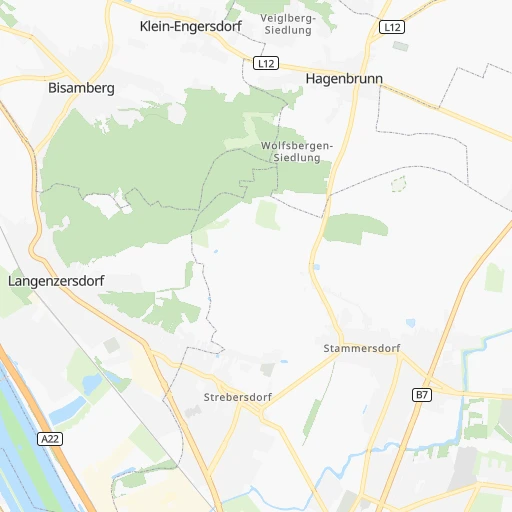
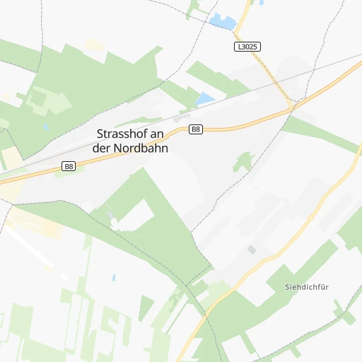
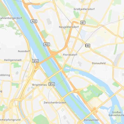
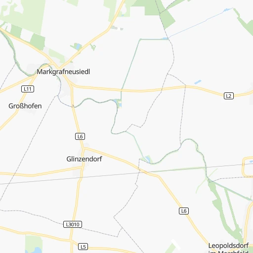
Roadmap (route) to go from Bahnhof Süßenbrunn to Ried im Innkreis detailed above, you can also see the course layout on the map.
While doing trip Bahnhof Süßenbrunn - Ried im Innkreis by car, the calculated route ends at a distance , or more straight.
Distance and duration of the route between Bahnhof Süßenbrunn and Ried im Innkreis
Calculation of distance and route from Ried im Innkreis to Bahnhof Süßenbrunn :
221.9252.4 km3h33mn
Continue onto Scheichgasse 0h0mn 61 mTurn right onto Sizzogasse 0h0mn 96 mTurn sharp right onto Bettelheimstraße 0h0mn 163 mTurn left onto Bettelheimstraße 0h1mn 415 mTurn slight right onto Resselgasse 0h1mn 455 mTurn right onto Nordostbahnstraße 0h1mn 428 mTurn right onto B8 0h12mn 9.3 kmKeep right and drive toward Zentrum 0h4mn 2.8 kmTurn left onto Operngasse 0h0mn 163 mKeep right onto Friedrichstraße and drive toward Linz, Schönbrunn 0h4mn 2.7 kmContinue onto Linke Wienzeile 0h0mn 63 mContinue onto Linke Wienzeile and drive toward Linz, Schönbrunn 0h11mn 8.7 kmKeep left onto West Autobahn and take A1 toward Linz, St. Pölten, Pressbaum 1h26mn 166.0 kmKeep right and take A25 toward Passau, Wels 0h24mn 47.7 kmKeep right and take B141 toward Haag am Hausruck, Ried im Innkreis, Messegelände, Geboltskirchen, Pram, Rottenbach, Autohof 0h0mn 314 mKeep right toward B141 0h0mn 42 mTurn slight right onto Rieder Straße 0h0mn 439 mAt roundabout, take exit 2 onto Rieder Straße 0h6mn 8.5 kmAt roundabout, take exit 3 onto Rieder Straße 0h2mn 2.5 kmTurn left onto Ottenbach and drive toward Ried im Innkreis-Ost, Krankenhaus 0h2mn 1.3 kmAt roundabout, take exit 1 onto Schloßberg 0h1mn 389 mAt roundabout, take exit 1 onto Johann-Georg-Hartwagner-Straße 0h0mn 78 mArrive at destination 0h0mn 0 m
Travel from Bahnhof Süßenbrunn (Upper Austria) to a selection of major cities.
Distances from Bahnhof Süßenbrunn to biggest cities in Vienna
Other major cities in country :
Route from Ried im Innkreis to major cities (Austria).
- Distance Ried im Innkreis Vienna214 km
- Distance Ried im Innkreis Graz195 km
- Distance Ried im Innkreis Favoriten215 km
- Distance Ried im Innkreis Donaustadt220 km
- Distance Ried im Innkreis Floridsdorf216 km
- Distance Ried im Innkreis Salzburg57 km
- Distance Ried im Innkreis Innsbruck189 km
- Distance Ried im Innkreis Ottakring209 km
- Distance Ried im Innkreis Simmering219 km
- Distance Ried im Innkreis Meidling211 km
- Distance Ried im Innkreis Klagenfurt am Woerthersee187 km
- Distance Ried im Innkreis Villach180 km
- Distance Ried im Innkreis Hernals206 km
- Distance Ried im Innkreis Hietzing208 km
Nearest cities to Bahnhof Süßenbrunn :
- Vienna, 1,691,468 inhabitants. 12 km
- Graz, 222,326 inhabitants. 156 km
- Linz, 204,846 inhabitants. 163 km
- Favoriten, 201,882 inhabitants. 16 km
- Donaustadt, 187,007 inhabitants. 6 km
- Floridsdorf, 162,779 inhabitants. 7 km
- Ottakring, 104,627 inhabitants. 16 km
- Simmering, 101,420 inhabitants. 12 km
- Meidling, 97,624 inhabitants. 17 km
- Klagenfurt am Woerthersee, 90,610 inhabitants. 247 km
- Villach, 58,882 inhabitants. 272 km
- Hernals, 57,546 inhabitants. 17 km
- Hietzing, 54,265 inhabitants. 18 km
- Wiener Neustadt, 44,820 inhabitants. 57 km
- Steyr, 38,331 inhabitants. 156 km
- Jakomini, 32,912 inhabitants. 158 km
- Lend, 31,147 inhabitants. 156 km
- Gries, 29,363 inhabitants. 158 km
- Baden, 26,286 inhabitants. 36 km
- Geidorf, 24,767 inhabitants. 155 km
- Weinzierl bei Krems, 24,092 inhabitants. 67 km
- Sankt Poelten, 21,911 inhabitants. 64 km
- Moedling, 20,555 inhabitants. 27 km
- Eggenberg, 20,511 inhabitants. 158 km
- Sankt Peter, 20,320 inhabitants. 245 km
- Sankt Martin, 20,000 inhabitants. 249 km
- Andritz, 19,020 inhabitants. 153 km
- Wels, 16,857 inhabitants. 182 km
- Innere Stadt, 16,450 inhabitants. 12 km
- Stockerau, 16,292 inhabitants. 23 km
- Strassgang, 16,268 inhabitants. 161 km
- Sankt Leonhard, 15,853 inhabitants. 156 km
- Wetzelsdorf, 15,687 inhabitants. 160 km
- Klosterneuburg, 15,614 inhabitants. 12 km
- Amstetten, 15,559 inhabitants. 121 km
- Sankt Peter, 15,187 inhabitants. 157 km
- Perchtoldsdorf, 15,047 inhabitants. 25 km
- Krems an der Donau, 14,473 inhabitants. 66 km
- Liebenau, 14,447 inhabitants. 159 km
- Gmunden, 13,191 inhabitants. 204 km
- Korneuburg, 12,986 inhabitants. 13 km
- Spittal an der Drau, 12,880 inhabitants. 279 km
- Tulln, 12,421 inhabitants. 32 km
- Schwechat, 12,351 inhabitants. 17 km
- Waltendorf, 11,960 inhabitants. 156 km
- Ried im Innkreis, 11,903 inhabitants. 222 km
- Brunn am Gebirge, 11,864 inhabitants. 25 km
- Knittelfeld, 11,521 inhabitants. 173 km
- Neunkirchen, 11,461 inhabitants. 70 km
- Gaenserndorf, 11,404 inhabitants. 18 km
Location Bahnhof Süßenbrunn (Vienna) :
| Country flag |  |
| Location | Bahnhof Süßenbrunn |
| State | Vienna |
| County | Wien Stadt |
| Country | Austria |
| Country code / ISO 2 | AT |
| Latitude | 48.2856100 |
| Longitude | 16.4856900 |
| Altitude | 0 meters |
| Time zone | Europe/Vienna |
Location Ried im Innkreis (Upper Austria) :
| Country flag | |
| Location | Ried im Innkreis |
| State | Upper Austria |
| County | Politischer Bezirk Ried im Innkreis |
| Country | Austria |
| Country code / ISO 2 | AT |
| Latitude | 48.2112300 |
| Longitude | 13.4885500 |
| Altitude | 0 meters |
| Time zone | Europe/Vienna |


