


How to get from Kalambaka (Thessaly) to Véroia (Central Macedonia)
Calculate route from Kalambaka (Thessaly, Greece) to Véroia (Central Macedonia, Greece).
The flight distance (as the crow flies) between Kalambaka and Véroia is 103.4 km.
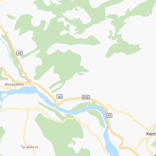
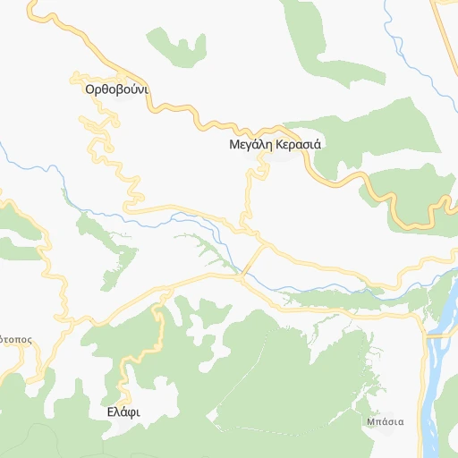
Roadmap (route) to go from Kalambaka to Véroia detailed above, you can also see the course layout on the map.
While doing trip Kalambaka - Véroia by car, the calculated route ends at a distance , or more straight.
Distance and duration of the route between Kalambaka and Véroia
Calculation of distance and route from Véroia to Kalambaka :
103.4161.3 km2h60mn
Continue onto Μεγάλου Αλεξάνδρου 0h0mn 60 mTurn left onto Τρικάλων 0h0mn 422 mAt roundabout, take exit 2 onto Πατριάρχου Δημητρίου 0h0mn 382 mTurn right onto Καρπάθου 0h0mn 212 mContinue 0h1mn 553 mTurn left 0h0mn 107 mTurn right 0h0mn 25 mTurn right 0h0mn 90 mTurn sharp left onto Τσαγαψούλη 0h1mn 1.1 kmTurn slight left 0h2mn 1.9 kmTurn right onto Τρικάλων - Παναγίας 0h4mn 4.1 kmKeep right and drive toward Γρεβενά, Δεσκάτη 1h41mn 42.8 kmTurn right 0h0mn 134 mTurn left 0h0mn 157 mTurn right onto Τρικάλων - Γρεβενών 0h9mn 8.9 kmKeep right and take Α2 toward Θεσσαλονίκη, Κοζάνη, Καστοριά, Γρεβενά Ανατολτκά 1h54mn 96.4 kmKeep right onto Εγνατία Οδός and drive toward Έδεσσα, Νάουσα, Βέροια 0h0mn 177 mTurn slight right 0h0mn 207 mTurn right onto Βέροιας - Μελίκης 0h4mn 3.0 kmTurn left onto Αγίου Δημητρίου 0h1mn 268 mTurn sharp left onto Μητροπόλεως 0h0mn 53 mTurn right onto Θεανώ Ζωγιοπούλου 0h0mn 119 mTurn right onto Πλατάνων 0h0mn 149 mArrive at destination 0h0mn 0 m
Travel from Kalambaka (Central Macedonia) to a selection of major cities.
Distances from Kalambaka to biggest cities in Thessaly
Other major cities in country :
- Nea Ionia [ESYE31], 67,134 inhabitants. 262 km
- Ioannina [ESYE21], 65,574 inhabitants. 67 km
- Palaio Faliro [ESYE31], 64,021 inhabitants. 267 km
- Korydallos [ESYE31], 63,445 inhabitants. 259 km
- Vyronas [ESYE31], 61,308 inhabitants. 268 km
- Agia Paraskevi [ESYE31], 59,704 inhabitants. 268 km
- Galatsi [ESYE31], 59,345 inhabitants. 263 km
- Chalkida [ESYE24], 59,125 inhabitants. 220 km
- Petroupolis [ESYE31], 58,979 inhabitants. 257 km
- Serres [ESYE12], 58,287 inhabitants. 224 km
- Rodos [ESYE42], 56,128 inhabitants. 683 km
- Kalamata [ESYE25], 54,100 inhabitants. 300 km
- Kavala [ESYE11], 54,027 inhabitants. 273 km
- Chania [ESYE43], 53,910 inhabitants. 513 km
- Katerini [ESYE12], 53,293 inhabitants. 98 km
- Alexandroupoli [ESYE11], 52,979 inhabitants. 383 km
- Lamia [ESYE24], 52,006 inhabitants. 113 km
Route from Véroia to major cities (Greece).
- Distance Véroia Athens312 km
- Distance Véroia Patra257 km
- Distance Véroia Piraeus312 km
- Distance Véroia Larisa100 km
- Distance Véroia Peristeri307 km
- Distance Véroia Irakleion633 km
- Distance Véroia Kallithea314 km
- Distance Véroia Acharnes302 km
- Distance Véroia Nikaia311 km
- Distance Véroia Glyfada325 km
- Distance Véroia Volos144 km
- Distance Véroia Ilion306 km
- Distance Véroia Ilioupoli319 km
- Distance Véroia Keratsini310 km
- Distance Véroia Khalandrion311 km
- Distance Véroia Nea Smyrni315 km
- Distance Véroia Marousi308 km
- Distance Véroia Agios Dimitrios317 km
- Distance Véroia Zografos314 km
- Distance Véroia Aigaleo310 km
Nearest cities to Kalambaka :
- Athens, 664,046 inhabitants. 264 km
- Thessaloniki, 354,290 inhabitants. 152 km
- Patra, 168,034 inhabitants. 163 km
- Piraeus, 163,688 inhabitants. 262 km
- Larisa, 144,651 inhabitants. 68 km
- Peristeri, 139,981 inhabitants. 260 km
- Kallithea, 100,641 inhabitants. 265 km
- Acharnes, 99,346 inhabitants. 257 km
- Kalamaria, 91,617 inhabitants. 149 km
- Nikaia, 89,380 inhabitants. 261 km
- Glyfada, 87,305 inhabitants. 276 km
- Volos, 86,048 inhabitants. 119 km
- Ilion, 84,793 inhabitants. 259 km
- Ilioupoli, 78,153 inhabitants. 271 km
- Keratsini, 77,077 inhabitants. 260 km
- Khalandrion, 74,192 inhabitants. 266 km
- Nea Smyrni, 73,076 inhabitants. 267 km
- Marousi, 72,333 inhabitants. 263 km
- Agios Dimitrios, 71,294 inhabitants. 269 km
- Zografos, 71,026 inhabitants. 267 km
- Aigaleo, 69,946 inhabitants. 262 km
- Nea Ionia, 67,134 inhabitants. 262 km
- Ioannina, 65,574 inhabitants. 67 km
- Palaio Faliro, 64,021 inhabitants. 267 km
- Korydallos, 63,445 inhabitants. 259 km
- Trikala, 61,653 inhabitants. 21 km
- Vyronas, 61,308 inhabitants. 268 km
- Agia Paraskevi, 59,704 inhabitants. 268 km
- Galatsi, 59,345 inhabitants. 263 km
- Chalkida, 59,125 inhabitants. 220 km
- Petroupolis, 58,979 inhabitants. 257 km
- Serres, 58,287 inhabitants. 224 km
- Kalamata, 54,100 inhabitants. 300 km
- Kavala, 54,027 inhabitants. 273 km
- Katerini, 53,293 inhabitants. 98 km
- Lamia, 52,006 inhabitants. 113 km
- Irakleio, 49,642 inhabitants. 261 km
- Kifisia, 47,332 inhabitants. 262 km
- Agrinio, 46,899 inhabitants. 122 km
- Chaidari, 45,642 inhabitants. 258 km
- Sykies, 44,955 inhabitants. 154 km
- Drama, 44,823 inhabitants. 268 km
- Veroia, 44,464 inhabitants. 104 km
- Alimos, 41,720 inhabitants. 270 km
- Polichni, 39,765 inhabitants. 155 km
- Kozani, 36,481 inhabitants. 68 km
- Agioi Anargyroi, 34,168 inhabitants. 260 km
- Argyroupoli, 34,097 inhabitants. 272 km
- Ano Liosia, 33,565 inhabitants. 255 km
- Karditsa, 32,789 inhabitants. 46 km
Location Kalambaka (Thessaly) :
| Country flag |  |
| Location | Kalambaka |
| State | Thessaly |
| County | Trikala |
| Country | Greece |
| Country code / ISO 2 | GR |
| Latitude | 39.7044400 |
| Longitude | 21.6269400 |
| Altitude | 0 meters |
| Time zone | Europe/Athens |
Location Véroia (Central Macedonia) :
| Country flag | |
| Location | Véroia |
| State | Central Macedonia |
| County | Nomós Imathías |
| Country | Greece |
| Country code / ISO 2 | GR |
| Latitude | 40.5243700 |
| Longitude | 22.2024200 |
| Altitude | 0 meters |
| Time zone | Europe/Athens |


