

How to get from Mostaganem (airport) (Mostaganem) to Mansoûra (Tlemcen)
Calculate route from Mostaganem (airport) (Mostaganem, Algeria) to Mansoûra (Tlemcen, Algeria).
The flight distance (as the crow flies) between Mostaganem (airport) and Mansoûra is 177.7 km.
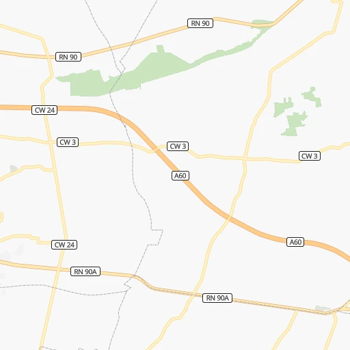
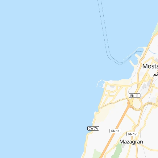
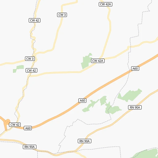
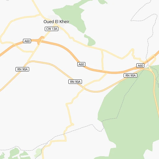
Roadmap (route) to go from Mostaganem Airport to Mansoûra detailed above, you can also see the course layout on the map.
While doing trip Mostaganem (airport) - Mansoûra by car, the calculated route ends at a distance , or more straight.
Distance and duration of the route between Mostaganem (airport) and Mansoûra
Calculation of distance and route from Mansoûra to Mostaganem (airport) :
177.7216.9 km3h34mn
Continue 0h2mn 698 mTurn sharp right 0h3mn 2.1 kmAt roundabout, take exit 1 onto RN 23 0h2mn 1.8 kmAt roundabout, take exit 2 0h5mn 4.7 kmKeep right 0h0mn 37 mKeep left 0h0mn 15 mTurn slight right onto RN 17 0h0mn 210 mKeep left 0h0mn 156 mKeep right 0h0mn 115 mKeep right 0h0mn 151 mTurn right 0h0mn 21 mKeep left 0h0mn 100 mTurn left onto CW 7A 0h2mn 1.9 kmAt roundabout, take exit 3 0h16mn 25.0 kmKeep right 0h0mn 231 mKeep right 0h0mn 33 mTurn slight right 0h2mn 2.4 kmAt roundabout, take exit 1 onto CW 82 0h11mn 10.7 kmTurn left onto RN 97 0h16mn 12.7 kmAt roundabout, take exit 1 onto Branchement A3 - N97 0h1mn 754 mKeep right onto Branchement A3 - N97 1h20mn 142.3 kmKeep right and drive toward Tlemcen / Henaya 0h2mn 1.3 kmAt roundabout, take exit 1 onto RN 22 0h3mn 3.5 kmKeep right 0h1mn 764 mAt roundabout, take exit 3 0h1mn 999 mKeep right 0h0mn 39 mTurn right 0h0mn 130 mTurn slight right 0h0mn 8 mTurn left 0h0mn 80 mTurn slight left 0h0mn 34 mTurn right 0h0mn 18 mTurn left onto Boulevard de la Soummam 0h0mn 188 mTurn right onto Rue Mourad Benchouk 0h1mn 710 mTurn right onto Boulevard Derrar Abdrahmane 0h0mn 203 mAt roundabout, take exit 3 0h0mn 258 mTurn left 0h1mn 1.1 kmTurn sharp left 0h0mn 32 mTurn sharp right onto RN 22 0h1mn 691 mAt roundabout, take exit 2 onto RN 22 0h1mn 653 mTurn sharp right 0h0mn 151 mArrive at destination 0h0mn 0 m
Travel from Mostaganem (airport) (Tlemcen) to a selection of major cities.
Distances from Mostaganem Airport to biggest cities in Mostaganem
Other major cities in country :
- Djelfa [22], 154,265 inhabitants. 315 km
- Mascara [26], 150,000 inhabitants. 57 km
- Jijel [24], 148,000 inhabitants. 514 km
- Medea [06], 147,707 inhabitants. 238 km
- Tizi Ouzou [14], 144,000 inhabitants. 361 km
- Bechar [38], 143,382 inhabitants. 525 km
- El Oued [43], 134,699 inhabitants. 677 km
- Tlemcen [15], 132,341 inhabitants. 175 km
- Relizane [51], 130,094 inhabitants. 42 km
- Ouargla [50], 129,402 inhabitants. 650 km
- El Eulma [12], 128,351 inhabitants. 500 km
- Saida [10], 127,497 inhabitants. 120 km
- Guelma [23], 123,590 inhabitants. 657 km
- Bordj el Kiffan [01], 123,246 inhabitants. 289 km
- Ain Oussera [22], 118,687 inhabitants. 255 km
- Khenchela [47], 117,000 inhabitants. 635 km
- Laghouat [25], 113,872 inhabitants. 342 km
- Ain Beida [29], 105,765 inhabitants. 654 km
- Baraki [55], 105,402 inhabitants. 278 km
- Oum el Bouaghi [29], 100,821 inhabitants. 628 km
Route from Mansoûra to major cities (Algeria).
- Distance Mansoûra Algiers451 km
- Distance Mansoûra Boumerdas484 km
- Distance Mansoûra Oran113 km
- Distance Mansoûra Tebessa863 km
- Distance Mansoûra Constantine739 km
- Distance Mansoûra Biskra645 km
- Distance Mansoûra Setif629 km
- Distance Mansoûra Batna688 km
- Distance Mansoûra Bab Ezzouar458 km
- Distance Mansoûra Annaba852 km
- Distance Mansoûra Sidi Bel Abbes74 km
- Distance Mansoûra Blida417 km
- Distance Mansoûra Tiaret248 km
- Distance Mansoûra Chlef282 km
- Distance Mansoûra Bordj Bou Arreridj569 km
- Distance Mansoûra Ech Chettia278 km
- Distance Mansoûra Bejaia617 km
- Distance Mansoûra Skikda777 km
- Distance Mansoûra El Achir557 km
- Distance Mansoûra Souk Ahras856 km
Nearest cities to Mostaganem (airport) :
- Algiers, 1,977,663 inhabitants. 279 km
- Oran, 645,984 inhabitants. 74 km
- Sidi Bel Abbes, 191,769 inhabitants. 106 km
- Blida, 182,447 inhabitants. 249 km
- Tiaret, 178,915 inhabitants. 122 km
- Chlef, 178,616 inhabitants. 111 km
- Ech Chettia, 167,955 inhabitants. 105 km
- Mascara, 150,000 inhabitants. 57 km
- Medea, 147,707 inhabitants. 238 km
- Tlemcen, 132,341 inhabitants. 175 km
- Relizane, 130,094 inhabitants. 42 km
- Mostaganem, 130,000 inhabitants. 6 km
- Saida, 127,497 inhabitants. 120 km
- Ain Oussera, 118,687 inhabitants. 255 km
- Laghouat, 113,872 inhabitants. 342 km
- Baraki, 105,402 inhabitants. 278 km
- Beni Mered, 92,749 inhabitants. 253 km
- Aflou, 84,683 inhabitants. 268 km
- Berrouaghia, 80,573 inhabitants. 250 km
- Ksar el Boukhari, 77,166 inhabitants. 235 km
- Khemis Miliana, 75,865 inhabitants. 191 km
- Birkhadem, 71,722 inhabitants. 276 km
- Sougueur, 68,654 inhabitants. 146 km
- Es Senia, 68,084 inhabitants. 75 km
- Bir el Djir, 68,032 inhabitants. 66 km
- El Bayadh, 64,632 inhabitants. 260 km
- Frenda, 63,319 inhabitants. 124 km
- Bougara, 63,155 inhabitants. 273 km
- Tissemsilt, 61,155 inhabitants. 154 km
- Oued Rhiou, 59,864 inhabitants. 70 km
- Boufarik, 59,742 inhabitants. 259 km
- Sig, 58,877 inhabitants. 52 km
- Ksar Chellala, 58,478 inhabitants. 211 km
- Sidi Moussa, 57,928 inhabitants. 275 km
- Ain Temouchent, 57,354 inhabitants. 135 km
- Mansoura, 52,285 inhabitants. 178 km
- Ain Defla, 52,276 inhabitants. 169 km
- Remchi, 51,224 inhabitants. 171 km
- Beni Saf, 46,382 inhabitants. 154 km
- 'Ain el Turk, 45,323 inhabitants. 85 km
- Oued Fodda, 44,523 inhabitants. 129 km
- Bou Arfa, 44,143 inhabitants. 248 km
- El Attaf, 43,837 inhabitants. 142 km
- El Affroun, 42,627 inhabitants. 231 km
- Hennaya, 41,959 inhabitants. 174 km
- Sebdou, 41,146 inhabitants. 195 km
- Souma, 40,745 inhabitants. 257 km
- Chetouane, 39,913 inhabitants. 171 km
- Mehdia daira de meghila, 39,271 inhabitants. 155 km
- El Idrissia, 38,714 inhabitants. 271 km
Location Mostaganem (airport) (Mostaganem) :
| Country flag |  |
| Location | Mostaganem (airport) |
| State | Mostaganem |
| County | |
| Country | Algeria |
| Country code / ISO 2 | DZ |
| Latitude | 35.9061100 |
| Longitude | 0.1458300 |
| Altitude | 0 meters |
| Time zone | Africa/Algiers |
Location Mansoûra (Tlemcen) :
| Country flag | |
| Location | Mansoûra |
| State | Tlemcen |
| County | |
| Country | Algeria |
| Country code / ISO 2 | DZ |
| Latitude | 34.8615800 |
| Longitude | -1.3393500 |
| Altitude | 0 meters |
| Time zone | Africa/Algiers |

