


How to get from Station de Nwaçer (Casablanca-Settat) to Guelmim (Guelmim-Oued Noun)
Calculate route from Station de Nwaçer (Casablanca-Settat, Morocco) to Guelmim (Guelmim-Oued Noun, Morocco).
The flight distance (as the crow flies) between Station de Nwaçer and Guelmim is 538.6 km.
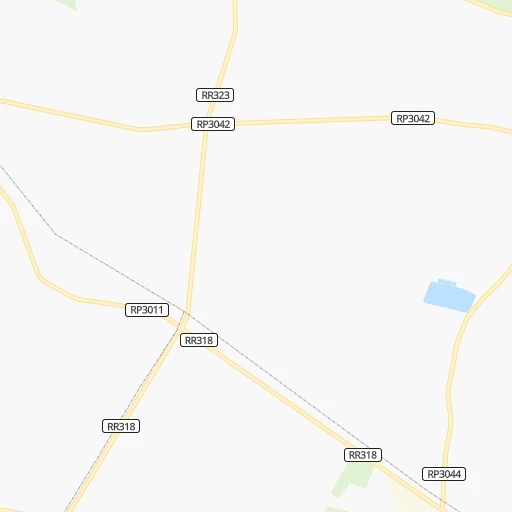
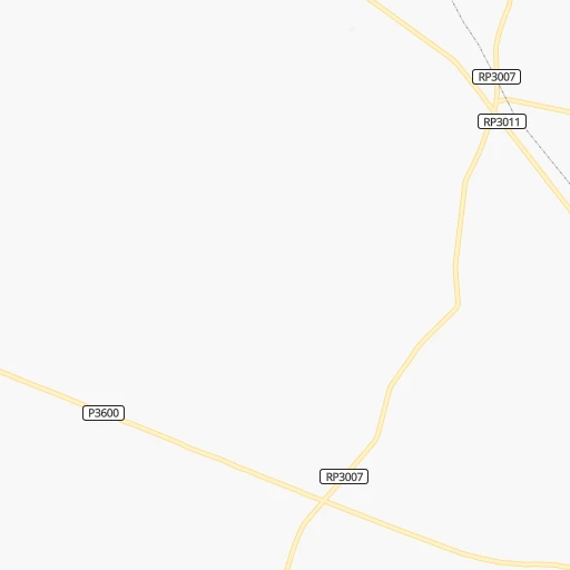
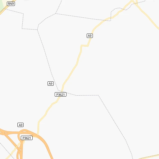
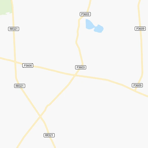
Roadmap (route) to go from Station de Nwaçer to Guelmim detailed above, you can also see the course layout on the map.
While doing trip Station de Nwaçer - Guelmim by car, the calculated route ends at a distance , or more straight.
Distance and duration of the route between Station de Nwaçer and Guelmim
Calculation of distance and route from Guelmim to Station de Nwaçer :
538.6617.2 km7h3mn
Continue 0h4mn 2.0 kmTurn right 0h1mn 260 mTurn sharp left 0h0mn 98 mTurn right 0h2mn 1.9 kmTurn left 0h0mn 367 mKeep left and drive toward Berrechid, Marrakech, برشيد, مراكش 0h9mn 13.6 kmKeep left onto Autoroute Casablanca-Agadir طرق السيارات الدار البيضاء - أكادير and drive toward Berrechid, Marrakech, Agadir 2h36mn 172.9 kmKeep right onto Autoroute Casablanca-Agadir طرق السيارات الدار البيضاء - أكادير and drive toward Tamansourt, Chichaoua, Essaouira, Agadir, تامنصورت, شيشاوة, الصويرة, اكَادير 2h10mn 231.5 kmAt roundabout, take exit 2 onto Autoroute Casablanca-Agadir طرق السيارات الدار البيضاء - أكادير 0h3mn 3.6 kmAt roundabout, take exit 1 onto Autoroute Casablanca-Agadir طرق السيارات الدار البيضاء - أكادير 0h2mn 2.1 kmAt roundabout, take exit 1 onto Autoroute Casablanca-Agadir طرق السيارات الدار البيضاء - أكادير 0h1mn 1.7 kmAt roundabout, take exit 2 onto Autoroute Casablanca-Agadir طرق السيارات الدار البيضاء - أكادير 0h1mn 1.5 kmAt roundabout, take exit 2 onto Autoroute Casablanca-Agadir طرق السيارات الدار البيضاء - أكادير 0h1mn 953 mAt roundabout, take exit 2 onto Autoroute Casablanca-Agadir طرق السيارات الدار البيضاء - أكادير 0h1mn 1.1 kmAt roundabout, take exit 3 onto RN1 0h1mn 484 mAt roundabout, take exit 2 onto RN1 0h0mn 241 mAt roundabout, take exit 2 onto RN1 0h1mn 550 mAt roundabout, take exit 3 onto RN1 0h0mn 269 mAt roundabout, take exit 2 0h2mn 2.2 kmAt roundabout, take exit 2 onto Avenue Far 0h1mn 548 mKeep right 0h5mn 4.4 kmAt roundabout, take exit 2 onto RN1 0h5mn 6.9 kmAt roundabout, take exit 1 onto RN1 0h1mn 991 mAt roundabout, take exit 2 onto RN1 0h2mn 1.5 kmAt roundabout, take exit 3 onto RN1 0h4mn 5.6 kmAt roundabout, take exit 2 onto RN1 0h3mn 3.9 kmAt roundabout, take exit 1 onto RN1 0h2mn 2.1 kmAt roundabout, take exit 2 onto RN1 0h1mn 1.3 kmAt roundabout, take exit 2 onto RN1 0h6mn 7.7 kmAt roundabout, take exit 1 onto RN1 0h4mn 4.3 kmAt roundabout, take exit 1 onto RN1, RP1016 0h3mn 3.0 kmAt roundabout, take exit 2 onto RN1 0h21mn 25.2 kmAt roundabout, take exit 1 onto Voie express Tiznit – dakhla 0h24mn 42.2 kmTurn right onto RP1903 0h6mn 5.1 kmKeep left onto RP1911 0h9mn 7.4 kmContinue 0h8mn 4.1 kmTurn left 0h1mn 296 mTurn sharp right onto RP1916 0h20mn 17.0 kmKeep left onto RP1305 0h0mn 273 mTurn right onto RP1305 0h12mn 6.0 kmTurn left onto RP1305 0h9mn 7.2 kmTurn sharp left onto P1305 0h3mn 1.7 kmTurn right onto RN1 0h14mn 17.1 kmAt roundabout, take exit 2 0h2mn 1.2 kmAt roundabout, take exit 2 0h1mn 530 mAt roundabout, take exit 2 onto Avenue Mohamed VI شارع محمد السادس 0h1mn 882 mAt roundabout, take exit 2 onto Avenue Mohamed VI شارع محمد السادس 0h1mn 478 mAt roundabout, take exit 2 onto Avenue Mohamed VI شارع محمد السادس 0h1mn 586 mAt roundabout, take exit 3 onto Boulevard Almasira 0h0mn 218 mAt roundabout, take exit 5 onto Bulevar Almasira 0h0mn 134 mArrive at destination 0h0mn 0 m
Travel from Station de Nwaçer (Guelmim-Oued Noun) to a selection of major cities.
Distances from Station de Nwaçer to biggest cities in Casablanca-Settat
Other major cities in country :
- Khemisset [04], 106,991 inhabitants. 153 km
- Guelmim [10], 98,229 inhabitants. 540 km
- Errachidia [08], 92,374 inhabitants. 339 km
- Oued Zem [05], 84,910 inhabitants. 112 km
- Al Fqih Ben Calah [05], 84,072 inhabitants. 129 km
- Taourirt [02], 82,518 inhabitants. 452 km
- Berkane [02], 80,721 inhabitants. 518 km
- Sidi Slimane [04], 79,437 inhabitants. 186 km
- Sidi Qacem [04], 74,755 inhabitants. 201 km
- Khenifra [05], 73,906 inhabitants. 189 km
- Ifrane [03], 73,782 inhabitants. 234 km
- Taroudant [09], 71,133 inhabitants. 343 km
- Essaouira [07], 70,634 inhabitants. 288 km
- Tiflet [04], 70,010 inhabitants. 135 km
- Oulad Teima [09], 66,832 inhabitants. 363 km
- Sefrou [03], 65,150 inhabitants. 264 km
- Youssoufia [07], 64,910 inhabitants. 151 km
- Tan-Tan [10], 61,924 inhabitants. 641 km
- Ouezzane [01], 58,684 inhabitants. 247 km
- Guercif [03], 57,544 inhabitants. 406 km
Route from Guelmim to major cities (Morocco).
- Distance Guelmim Casablanca563 km
- Distance Guelmim Rabat638 km
- Distance Guelmim Fes739 km
- Distance Guelmim Sale643 km
- Distance Guelmim Marrakesh355 km
- Distance Guelmim Agadir166 km
- Distance Guelmim Tangier854 km
- Distance Guelmim Meknes694 km
- Distance Guelmim Oujda-Angad997 km
- Distance Guelmim Al Hoceima905 km
- Distance Guelmim Kenitra673 km
- Distance Guelmim Tetouan856 km
- Distance Guelmim Temara626 km
- Distance Guelmim Safi377 km
- Distance Guelmim Mohammedia582 km
- Distance Guelmim Khouribga528 km
- Distance Guelmim Beni Mellal515 km
- Distance Guelmim Fes al Bali744 km
- Distance Guelmim El Jadid498 km
- Distance Guelmim Taza816 km
Nearest cities to Station de Nwaçer :
- Casablanca, 3,144,909 inhabitants. 25 km
- Rabat, 1,655,753 inhabitants. 103 km
- Fes, 964,891 inhabitants. 254 km
- Sale, 903,485 inhabitants. 108 km
- Marrakesh, 839,296 inhabitants. 196 km
- Agadir, 698,310 inhabitants. 377 km
- Tangier, 688,356 inhabitants. 315 km
- Meknes, 545,705 inhabitants. 201 km
- Kenitra, 366,570 inhabitants. 139 km
- Tetouan, 326,261 inhabitants. 322 km
- Temara, 313,510 inhabitants. 91 km
- Safi, 288,163 inhabitants. 192 km
- Mohammedia, 187,708 inhabitants. 42 km
- Khouribga, 167,673 inhabitants. 85 km
- Beni Mellal, 166,399 inhabitants. 165 km
- Fes al Bali, 156,000 inhabitants. 259 km
- El Jadid, 147,549 inhabitants. 83 km
- Settat, 119,082 inhabitants. 40 km
- Larache, 109,294 inhabitants. 244 km
- Ksar El Kebir, 108,753 inhabitants. 241 km
- Khemisset, 106,991 inhabitants. 153 km
- Berrechid, 93,954 inhabitants. 11 km
- Oued Zem, 84,910 inhabitants. 112 km
- Al Fqih Ben Calah, 84,072 inhabitants. 129 km
- Sidi Slimane, 79,437 inhabitants. 186 km
- Sidi Qacem, 74,755 inhabitants. 201 km
- Khenifra, 73,906 inhabitants. 189 km
- Ifrane, 73,782 inhabitants. 234 km
- Taroudant, 71,133 inhabitants. 343 km
- Essaouira, 70,634 inhabitants. 288 km
- Tiflet, 70,010 inhabitants. 135 km
- Oulad Teima, 66,832 inhabitants. 363 km
- Sefrou, 65,150 inhabitants. 264 km
- Youssoufia, 64,910 inhabitants. 151 km
- Ouezzane, 58,684 inhabitants. 247 km
- Ouarzazat, 57,245 inhabitants. 281 km
- Dakhla, 55,618 inhabitants. 376 km
- Fnidek, 53,559 inhabitants. 346 km
- Azrou, 48,249 inhabitants. 223 km
- Midelt, 45,159 inhabitants. 279 km
- Skhirate, 44,850 inhabitants. 77 km
- Souq Larb'a al Gharb, 44,059 inhabitants. 210 km
- Kasba Tadla, 41,199 inhabitants. 152 km
- Sidi Bennour, 40,044 inhabitants. 109 km
- Martil, 39,738 inhabitants. 331 km
- Azemmour, 37,140 inhabitants. 68 km
- Tinghir, 36,795 inhabitants. 284 km
- Chefchaouene, 36,280 inhabitants. 296 km
- Taounate, 32,802 inhabitants. 305 km
- Sidi Yahia El Gharb, 32,202 inhabitants. 161 km
Location Station de Nwaçer (Casablanca-Settat) :
| Country flag |  |
| Location | Station de Nwaçer |
| State | Casablanca-Settat |
| County | |
| Country | Morocco |
| Country code / ISO 2 | MA |
| Latitude | 33.3626000 |
| Longitude | -7.6203400 |
| Altitude | 0 meters |
| Time zone | Africa/Casablanca |
Location Guelmim (Guelmim-Oued Noun) :
| Country flag | |
| Location | Guelmim |
| State | Guelmim-Oued Noun |
| County | Guelmim |
| Country | Morocco |
| Country code / ISO 2 | MA |
| Latitude | 28.9869600 |
| Longitude | -10.0573800 |
| Altitude | 0 meters |
| Time zone | Africa/Casablanca |
