
How to get from Boghni (Tizi Ouzou) to Aflou (Laghouat)
Calculate route from Boghni (Tizi Ouzou, Algeria) to Aflou (Laghouat, Algeria).
The flight distance (as the crow flies) between Boghni and Aflou is 317.8 km.
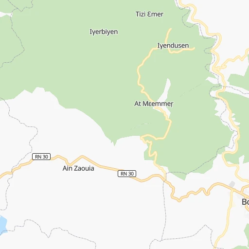
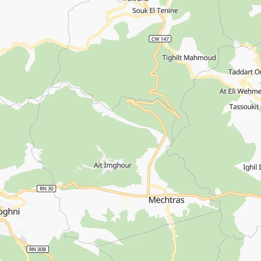
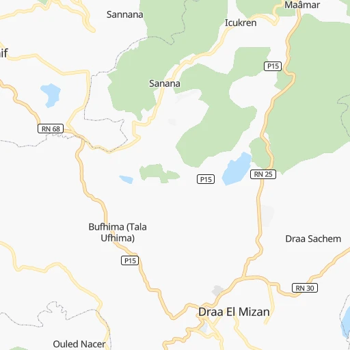
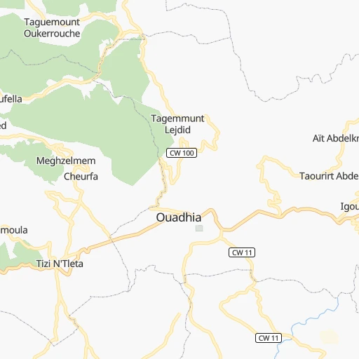
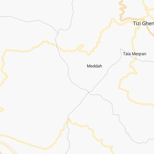
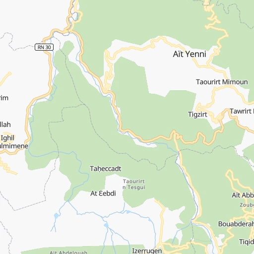
Roadmap (route) to go from Boghni to Aflou detailed above, you can also see the course layout on the map.
While doing trip Boghni - Aflou by car, the calculated route ends at a distance , or more straight.
Distance and duration of the route between Boghni and Aflou
Calculation of distance and route from Aflou to Boghni :
317.8408.7 km6h1mn
Continue 0h0mn 52 mTurn sharp left onto Rue Dahmani Ahmed 0h0mn 7 mTurn slight right onto RN 30B 0h1mn 467 mTurn sharp left onto route boghni bounouh 0h2mn 2.2 kmKeep left 0h1mn 1.2 kmKeep left 0h2mn 1.7 kmTurn left 0h3mn 1.4 kmTurn left onto Awrir 0h0mn 168 mTurn left onto Avrid n Vuɣni - Vunuḥ 0h20mn 19.6 kmAt roundabout, take exit 2 onto RN 5 0h2mn 2.0 kmAt roundabout, take exit 3 onto RN 5 0h2mn 1.7 kmAt roundabout, take exit 2 onto RN 5 0h0mn 144 mKeep right 0h0mn 275 mAt roundabout, take exit 2 0h1mn 948 mAt roundabout, take exit 2 onto RN 5 0h1mn 809 mKeep right onto RN 5 0h11mn 11.9 kmKeep right 0h15mn 19.0 kmAt roundabout, take exit 2 onto RN 8B 0h1mn 1.4 kmTurn left onto RN 8 0h1mn 583 mKeep right 0h0mn 134 mTurn right onto RN 62 0h13mn 14.2 kmKeep left 0h18mn 15.4 kmTurn left onto CW 94 0h17mn 17.4 kmAt roundabout, take exit 1 onto RN 60 0h1mn 607 mAt roundabout, take exit 1 onto RN 60 0h23mn 25.5 kmTurn sharp left onto CW 38 0h1mn 1.1 kmKeep left onto CW 38 0h24mn 21.4 kmKeep left onto CW 38 0h0mn 116 mContinue onto RN 40B 0h6mn 6.9 kmAt roundabout, take exit 2 onto RN 40B 0h24mn 28.4 kmContinue onto RN 40B 0h2mn 2.8 kmAt roundabout, take exit 1 0h1mn 814 mTurn sharp left 1h48mn 69.9 kmKeep right onto RN 1A 1h44mn 51.7 kmKeep left 0h1mn 1.0 kmTurn slight left onto RN 1A 0h21mn 24.1 kmTurn right 0h1mn 1.0 kmTurn right 0h0mn 58 mTurn left 0h0mn 149 mTurn right onto RN 1A 1h45mn 52.6 kmAt roundabout, take exit 2 onto Carrefour de Sidi Bouzid 0h3mn 4.0 kmAt roundabout, take exit 1 onto RN 23 0h3mn 3.1 kmAt roundabout, take exit 3 0h0mn 370 mAt roundabout, take exit 3 onto Aflou - El Bayadh 0h0mn 326 mTurn left 0h0mn 111 mTurn sharp right 0h0mn 94 mArrive at destination 0h0mn 0 m
Travel from Boghni (Laghouat) to a selection of major cities.
Distances from Boghni to biggest cities in Tizi Ouzou
Other major cities in country :
- Djelfa [22], 154,265 inhabitants. 217 km
- Mascara [26], 150,000 inhabitants. 366 km
- Jijel [24], 148,000 inhabitants. 165 km
- Medea [06], 147,707 inhabitants. 112 km
- Bechar [38], 143,382 inhabitants. 790 km
- El Oued [43], 134,699 inhabitants. 443 km
- Tlemcen [15], 132,341 inhabitants. 511 km
- Relizane [51], 130,094 inhabitants. 318 km
- Mostaganem [07], 130,000 inhabitants. 354 km
- Ouargla [50], 129,402 inhabitants. 527 km
- El Eulma [12], 128,351 inhabitants. 162 km
- Saida [10], 127,497 inhabitants. 393 km
- Guelma [23], 123,590 inhabitants. 311 km
- Bordj el Kiffan [01], 123,246 inhabitants. 72 km
- Ain Oussera [22], 118,687 inhabitants. 154 km
- Khenchela [47], 117,000 inhabitants. 313 km
- Laghouat [25], 113,872 inhabitants. 321 km
- Ain Beida [29], 105,765 inhabitants. 320 km
- Baraki [55], 105,402 inhabitants. 78 km
- Oum el Bouaghi [29], 100,821 inhabitants. 293 km
Route from Aflou to major cities (Algeria).
- Distance Aflou Algiers305 km
- Distance Aflou Boumerdas321 km
- Distance Aflou Oran306 km
- Distance Aflou Tebessa569 km
- Distance Aflou Constantine481 km
- Distance Aflou Biskra343 km
- Distance Aflou Setif380 km
- Distance Aflou Batna405 km
- Distance Aflou Bab Ezzouar307 km
- Distance Aflou Annaba600 km
- Distance Aflou Sidi Bel Abbes278 km
- Distance Aflou Blida271 km
- Distance Aflou Tiaret157 km
- Distance Aflou Chlef239 km
- Distance Aflou Bordj Bou Arreridj326 km
- Distance Aflou Ech Chettia244 km
- Distance Aflou Bejaia400 km
- Distance Aflou Skikda533 km
- Distance Aflou El Achir316 km
- Distance Aflou Souk Ahras584 km
Nearest cities to Boghni :
- Algiers, 1,977,663 inhabitants. 80 km
- Boumerdas, 786,499 inhabitants. 49 km
- Constantine, 450,097 inhabitants. 239 km
- Biskra, 307,987 inhabitants. 247 km
- Setif, 288,461 inhabitants. 137 km
- Batna, 280,798 inhabitants. 228 km
- Bab Ezzouar, 275,630 inhabitants. 72 km
- Blida, 182,447 inhabitants. 101 km
- Tiaret, 178,915 inhabitants. 271 km
- Chlef, 178,616 inhabitants. 238 km
- Bordj Bou Arreridj, 168,346 inhabitants. 89 km
- Ech Chettia, 167,955 inhabitants. 245 km
- Bejaia, 164,103 inhabitants. 104 km
- Skikda, 162,702 inhabitants. 266 km
- El Achir, 158,333 inhabitants. 81 km
- Djelfa, 154,265 inhabitants. 217 km
- Jijel, 148,000 inhabitants. 165 km
- Medea, 147,707 inhabitants. 112 km
- Tizi Ouzou, 144,000 inhabitants. 21 km
- El Eulma, 128,351 inhabitants. 162 km
- Bordj el Kiffan, 123,246 inhabitants. 72 km
- Ain Oussera, 118,687 inhabitants. 154 km
- Laghouat, 113,872 inhabitants. 321 km
- Baraki, 105,402 inhabitants. 78 km
- M'Sila, 100,000 inhabitants. 107 km
- Messaad, 99,485 inhabitants. 269 km
- Barika, 98,846 inhabitants. 181 km
- Beni Mered, 92,749 inhabitants. 98 km
- Aflou, 84,683 inhabitants. 318 km
- El Khroub, 83,746 inhabitants. 247 km
- Berrouaghia, 80,573 inhabitants. 104 km
- Ksar el Boukhari, 77,166 inhabitants. 130 km
- Khemis Miliana, 75,865 inhabitants. 158 km
- Ain Touta, 72,280 inhabitants. 218 km
- Birkhadem, 71,722 inhabitants. 83 km
- Chelghoum el Aid, 71,660 inhabitants. 203 km
- Sidi Aissa, 69,740 inhabitants. 75 km
- Larbaa, 69,298 inhabitants. 71 km
- Mila, 68,831 inhabitants. 207 km
- Sougueur, 68,654 inhabitants. 268 km
- Ain Fakroun, 68,433 inhabitants. 270 km
- Tolga, 68,246 inhabitants. 240 km
- Akbou, 66,654 inhabitants. 53 km
- El Bayadh, 64,632 inhabitants. 415 km
- Sidi Khaled, 64,476 inhabitants. 258 km
- Frenda, 63,319 inhabitants. 309 km
- Bougara, 63,155 inhabitants. 78 km
- Hamma Bouziane, 63,012 inhabitants. 237 km
- Reguiba, 62,185 inhabitants. 416 km
- Tissemsilt, 61,155 inhabitants. 219 km
Location Boghni (Tizi Ouzou) :
| Country flag |  |
| Location | Boghni |
| State | Tizi Ouzou |
| County | |
| Country | Algeria |
| Country code / ISO 2 | DZ |
| Latitude | 36.5422200 |
| Longitude | 3.9530600 |
| Altitude | 0 meters |
| Time zone | Africa/Algiers |
Location Aflou (Laghouat) :
| Country flag | |
| Location | Aflou |
| State | Laghouat |
| County | |
| Country | Algeria |
| Country code / ISO 2 | DZ |
| Latitude | 34.1127900 |
| Longitude | 2.1022800 |
| Altitude | 0 meters |
| Time zone | Africa/Algiers |