
How to get from Ballay (Mamou) to Dabola (Faranah)
Calculate route from Ballay (Mamou, Guinea) to Dabola (Faranah, Guinea).
The flight distance (as the crow flies) between Ballay and Dabola is 91.9 km.
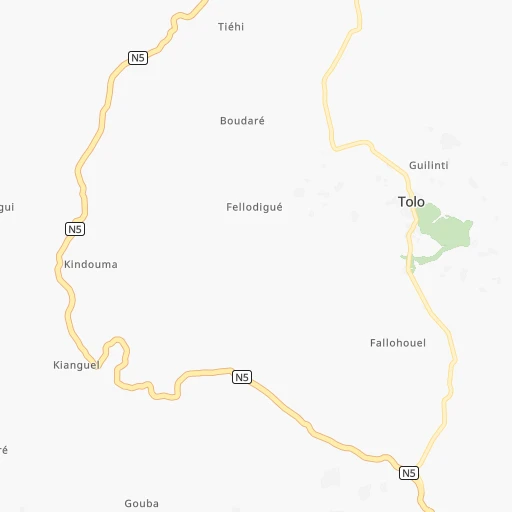
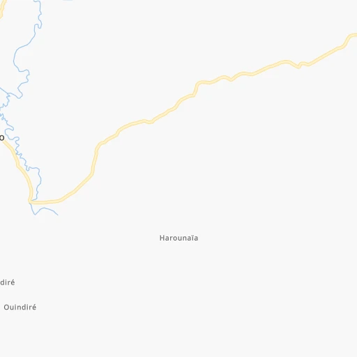
Roadmap (route) to go from Ballay to Dabola detailed above, you can also see the course layout on the map.
While doing trip Ballay - Dabola by car, the calculated route ends at a distance , or more straight.
Distance and duration of the route between Ballay and Dabola
Calculation of distance and route from Dabola to Ballay :
91.9117.1 km2h41mn
Continue onto N1 2h40mn 116.2 kmTurn left 0h1mn 522 mKeep right 0h1mn 277 mContinue 0h0mn 112 mAt roundabout, take exit 3 0h0mn 45 mArrive at destination 0h0mn 0 m
Travel from Ballay (Faranah) to a selection of major cities.
Distances from Ballay to biggest cities in Mamou
Other major cities in country :
Route from Dabola to major cities (Guinea).
- Distance Dabola Camayenne313 km
- Distance Dabola Conakry312 km
- Distance Dabola Nzerekore417 km
- Distance Dabola Kindia207 km
- Distance Dabola Kankan201 km
- Distance Dabola Gueckedou265 km
- Distance Dabola Coyah275 km
- Distance Dabola Kamsar382 km
- Distance Dabola Labe144 km
Nearest cities to Ballay :
- Camayenne, 1,871,242 inhabitants. 223 km
- Conakry, 1,767,200 inhabitants. 222 km
- Kindia, 117,062 inhabitants. 116 km
- Kankan, 114,009 inhabitants. 286 km
- Gueckedou, 79,140 inhabitants. 292 km
- Coyah, 77,103 inhabitants. 184 km
- Kamsar, 61,527 inhabitants. 294 km
- Labe, 58,649 inhabitants. 98 km
- Kissidougou, 47,099 inhabitants. 248 km
- Fria, 44,369 inhabitants. 183 km
- Siguiri, 43,601 inhabitants. 317 km
- Macenta, 43,102 inhabitants. 347 km
- Mamou, 41,619 inhabitants. 25 km
- Telimele, 30,311 inhabitants. 129 km
- Tougue, 25,531 inhabitants. 107 km
- Pita, 20,052 inhabitants. 80 km
- Boke, 15,460 inhabitants. 264 km
- Kouroussa, 14,223 inhabitants. 223 km
- Koundara, 13,990 inhabitants. 266 km
- Dabola, 13,057 inhabitants. 92 km
- Forecariah, 12,358 inhabitants. 176 km
- Tondon, 12,235 inhabitants. 158 km
- Dubreka, 10,363 inhabitants. 194 km
- Koubia, 9,909 inhabitants. 119 km
- Faranah, 9,350 inhabitants. 139 km
- Kimbo, 9,326 inhabitants. 179 km
- Youkounkoun, 7,952 inhabitants. 260 km
- Gaoual, 7,461 inhabitants. 196 km
- Kerouane, 7,228 inhabitants. 347 km
- Dalaba, 7,036 inhabitants. 41 km
- Tokonou, 6,729 inhabitants. 253 km
- Sangueya, 6,117 inhabitants. 269 km
- Dinguiraye, 6,062 inhabitants. 157 km
- Mali, 5,479 inhabitants. 179 km
- Lelouma, 4,777 inhabitants. 131 km
- Yomou, 3,614 inhabitants. 439 km
Location Ballay (Mamou) :
| Country flag |  |
| Location | Ballay |
| State | Mamou |
| County | Mamou Prefecture |
| Country | Guinea |
| Country code / ISO 2 | GN |
| Latitude | 10.5166700 |
| Longitude | -11.9166700 |
| Altitude | 0 meters |
| Time zone | Africa/Conakry |
Location Dabola (Faranah) :
| Country flag | |
| Location | Dabola |
| State | Faranah |
| County | Dabola |
| Country | Guinea |
| Country code / ISO 2 | GN |
| Latitude | 10.7433000 |
| Longitude | -11.1077800 |
| Altitude | 0 meters |
| Time zone | Africa/Conakry |