
How to get from Fouditi (Plateau) to Allada (Atlantique)
Calculate route from Fouditi (Plateau, Benin) to Allada (Atlantique, Benin).
The flight distance (as the crow flies) between Fouditi and Allada is 61.1 km.
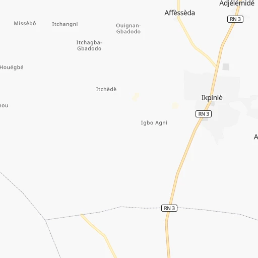
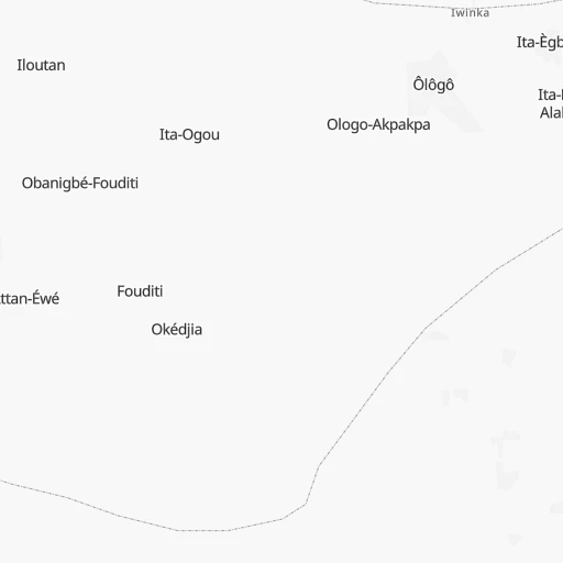
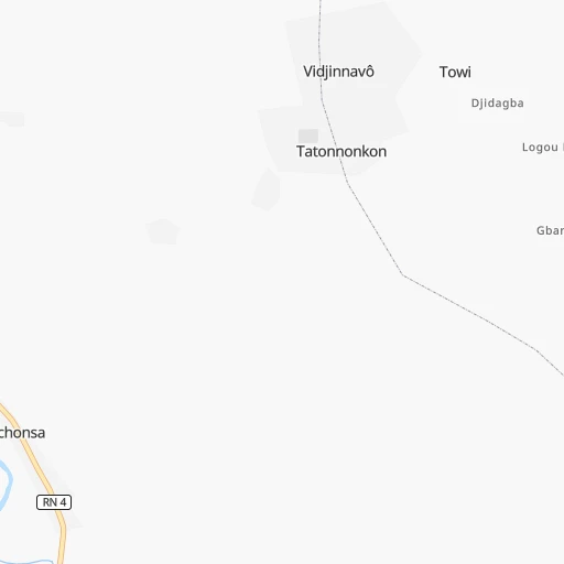
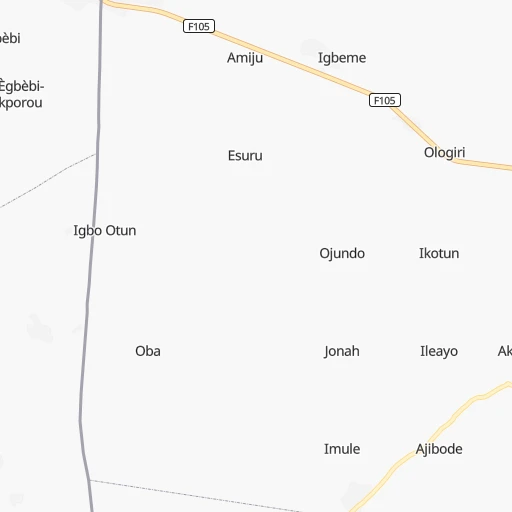
Roadmap (route) to go from Fouditi to Allada detailed above, you can also see the course layout on the map.
While doing trip Fouditi - Allada by car, the calculated route ends at a distance , or more straight.
Distance and duration of the route between Fouditi and Allada
Calculation of distance and route from Allada to Fouditi :
61.1139.8 km2h26mn
Continue 0h2mn 1.2 kmTurn sharp left 0h6mn 2.9 kmTurn sharp right 0h9mn 4.7 kmTurn left onto RN 3 0h15mn 16.7 kmContinue onto RNIE 1 0h22mn 16.6 kmAt roundabout, take exit 2 onto RNIE 1 0h2mn 1.7 kmTurn right 0h0mn 25 mTurn sharp left onto RN 4 0h0mn 202 mTurn right onto RNIE 1 0h8mn 6.3 kmAt roundabout, take exit 2 0h1mn 530 mAt roundabout, take exit 2 onto Carefour Dangbéklounon 0h1mn 718 mAt roundabout, take exit 2 0h2mn 956 mTurn right 0h0mn 340 mTurn sharp left 0h0mn 7 mKeep right 0h1mn 263 mTurn slight left onto Rue Victor Ballot 0h0mn 58 mTurn right onto Avenue Malan 0h0mn 369 mAt roundabout, take exit 2 onto RNIE 1 0h9mn 10.0 kmAt roundabout, take exit 1 onto Carrefour Sèmè 0h3mn 3.0 kmAt roundabout, take exit 2 onto Carrefour Sèmè-Podji 0h3mn 3.4 kmAt roundabout, take exit 2 onto Djeffa gare PK18 0h2mn 1.9 kmAt roundabout, take exit 2 onto RNIE 1 0h1mn 1.0 kmKeep right onto RNIE 1 0h2mn 1.8 kmAt roundabout, take exit 2 onto Carrefour PK10 0h1mn 1.6 kmAt roundabout, take exit 2 onto RNIE 1 0h1mn 1.4 kmAt roundabout, take exit 4 onto Carrefour Le Berlier 0h1mn 1.1 kmAt roundabout, take exit 4 onto Carrefour Abattoir 0h1mn 766 mAt roundabout, take exit 4 onto Carrefour Dégakon 0h1mn 1.5 kmAt roundabout, take exit 3 onto Carrefour PTT 0h1mn 982 mAt roundabout, take exit 1 onto Carrefour Béninois 0h1mn 747 mAt roundabout, take exit 4 0h2mn 2.2 kmKeep right onto Avenue de la République 0h1mn 552 mAt roundabout, take exit 2 onto Avenue de la République 0h2mn 1.9 kmAt roundabout, take exit 3 onto Place de l'Étoile Rouge 0h2mn 2.5 kmAt roundabout, take exit 2 onto Boulevard de l’Europe 0h4mn 4.2 kmKeep left onto RNIE 2 0h15mn 16.3 kmTurn slight right onto RNIE 2 0h25mn 29.1 kmTurn right 0h0mn 75 mTurn right 0h0mn 12 mTurn left 0h0mn 90 mTurn right 0h0mn 31 mArrive at destination 0h0mn 0 m
Travel from Fouditi (Atlantique) to a selection of major cities.
Distances from Fouditi to biggest cities in Plateau
Other major cities in country :
Route from Allada to major cities (Benin).
- Distance Allada Cotonou45 km
- Distance Allada Djougou343 km
- Distance Allada Porto-Novo53 km
- Distance Allada Parakou302 km
- Distance Allada Bohicon58 km
- Distance Allada Kandi505 km
- Distance Allada Lokossa48 km
- Distance Allada Abomey60 km
- Distance Allada Natitingou414 km
- Distance Allada Save157 km
- Distance Allada Nikki383 km
Nearest cities to Fouditi :
- Cotonou, 780,000 inhabitants. 62 km
- Abomey-Calavi, 385,755 inhabitants. 58 km
- Djougou, 237,040 inhabitants. 335 km
- Porto-Novo, 234,168 inhabitants. 42 km
- Parakou, 163,753 inhabitants. 275 km
- Bohicon, 125,092 inhabitants. 75 km
- Lokossa, 86,971 inhabitants. 108 km
- Ouidah, 83,503 inhabitants. 85 km
- Abomey, 82,154 inhabitants. 83 km
- Save, 75,970 inhabitants. 131 km
- Dogbo, 41,312 inhabitants. 98 km
- Cove, 38,566 inhabitants. 53 km
- Pobe, 32,983 inhabitants. 13 km
- Savalou, 30,187 inhabitants. 141 km
- Sakete, 30,111 inhabitants. 15 km
- Come, 29,208 inhabitants. 101 km
- Bassila, 23,616 inhabitants. 263 km
- Ketou, 22,341 inhabitants. 56 km
- Dassa-Zoume, 21,672 inhabitants. 112 km
- Tchaourou, 20,971 inhabitants. 225 km
- Allada, 20,094 inhabitants. 61 km
- Aplahoue, 19,862 inhabitants. 109 km
- Hevie, 13,450 inhabitants. 68 km
- Beterou, 13,108 inhabitants. 264 km
- Grand-Popo, 9,847 inhabitants. 114 km
- Hinvi, 3,604 inhabitants. 56 km
Location Fouditi (Plateau) :
| Country flag |  |
| Location | Fouditi |
| State | Plateau |
| County | |
| Country | Benin |
| Country code / ISO 2 | BJ |
| Latitude | 6.8666700 |
| Longitude | 2.6666700 |
| Altitude | 0 meters |
| Time zone | Africa/Porto-Novo |
Location Allada (Atlantique) :
| Country flag | |
| Location | Allada |
| State | Atlantique |
| County | Commune of Allada |
| Country | Benin |
| Country code / ISO 2 | BJ |
| Latitude | 6.6654700 |
| Longitude | 2.1513800 |
| Altitude | 0 meters |
| Time zone | Africa/Porto-Novo |