


How to get from Sèmè-Podji (Ouémé) to Pobé (Plateau)
Calculate route from Sèmè-Podji (Ouémé, Benin) to Pobé (Plateau, Benin).
The flight distance (as the crow flies) between Sèmè-Podji and Pobé is 66.5 km.
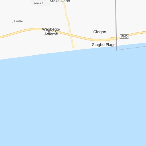
Roadmap (route) to go from Sèmè-Podji to Pobé detailed above, you can also see the course layout on the map.
While doing trip Sèmè-Podji - Pobé by car, the calculated route ends at a distance , or more straight.
Distance and duration of the route between Sèmè-Podji and Pobé
Calculation of distance and route from Pobé to Sèmè-Podji :
66.575.0 km1h21mn
Continue 0h0mn 140 mTurn right 0h0mn 237 mTurn left 0h0mn 190 mTurn left 0h1mn 299 mTurn left onto RNIE 1 0h8mn 9.7 kmAt roundabout, take exit 2 onto Avenue Malan 0h0mn 403 mTurn left onto Rue Victor Ballot 0h0mn 68 mKeep right 0h0mn 30 mTurn right 0h0mn 71 mContinue 0h2mn 971 mKeep right 0h0mn 246 mAt roundabout, take exit 3 0h1mn 710 mAt roundabout, take exit 3 onto Carefour Dangbéklounon 0h1mn 547 mAt roundabout, take exit 2 onto RNIE 1 0h8mn 6.4 kmTurn right onto RNIE 1 0h0mn 90 mTurn right onto RNIE 1 0h2mn 1.7 kmAt roundabout, take exit 2 onto RNIE 1 0h22mn 16.7 kmKeep left onto RN 3 1h33mn 36.0 kmTurn right 0h0mn 184 mTurn left 0h0mn 159 mTurn right 0h0mn 206 mArrive at destination 0h0mn 0 m
Travel from Sèmè-Podji (Plateau) to a selection of major cities.
Distances from Sèmè-Podji to biggest cities in Ouémé
Other major cities in country :
Route from Pobé to major cities (Benin).
- Distance Pobé Cotonou74 km
- Distance Pobé Abomey-Calavi68 km
- Distance Pobé Djougou323 km
- Distance Pobé Porto-Novo54 km
- Distance Pobé Parakou262 km
- Distance Pobé Bohicon70 km
- Distance Pobé Kandi463 km
- Distance Pobé Lokossa111 km
- Distance Pobé Ouidah94 km
- Distance Pobé Abomey78 km
- Distance Pobé Natitingou396 km
- Distance Pobé Save119 km
- Distance Pobé Nikki335 km
Nearest cities to Sèmè-Podji :
- Cotonou, 780,000 inhabitants. 22 km
- Abomey-Calavi, 385,755 inhabitants. 30 km
- Porto-Novo, 234,168 inhabitants. 13 km
- Parakou, 163,753 inhabitants. 329 km
- Bohicon, 125,092 inhabitants. 107 km
- Lokossa, 86,971 inhabitants. 104 km
- Ouidah, 83,503 inhabitants. 59 km
- Abomey, 82,154 inhabitants. 113 km
- Save, 75,970 inhabitants. 184 km
- Dogbo, 41,312 inhabitants. 103 km
- Cove, 38,566 inhabitants. 98 km
- Pobe, 32,983 inhabitants. 67 km
- Savalou, 30,187 inhabitants. 186 km
- Sakete, 30,111 inhabitants. 40 km
- Come, 29,208 inhabitants. 81 km
- Bassila, 23,616 inhabitants. 310 km
- Ketou, 22,341 inhabitants. 109 km
- Dassa-Zoume, 21,672 inhabitants. 159 km
- Tchaourou, 20,971 inhabitants. 279 km
- Allada, 20,094 inhabitants. 60 km
- Aplahoue, 19,862 inhabitants. 120 km
- Hevie, 13,450 inhabitants. 41 km
- Beterou, 13,108 inhabitants. 316 km
- Grand-Popo, 9,847 inhabitants. 89 km
- Hinvi, 3,604 inhabitants. 66 km
Location Sèmè-Podji (Ouémé) :
| Country flag |  |
| Location | Sèmè-Podji |
| State | Ouémé |
| County | |
| Country | Benin |
| Country code / ISO 2 | BJ |
| Latitude | 6.3833300 |
| Longitude | 2.6166700 |
| Altitude | 0 meters |
| Time zone | Africa/Porto-Novo |
Location Pobé (Plateau) :
| Country flag | |
| Location | Pobé |
| State | Plateau |
| County | Commune of Pobe |
| Country | Benin |
| Country code / ISO 2 | BJ |
| Latitude | 6.9800800 |
| Longitude | 2.6649000 |
| Altitude | 0 meters |
| Time zone | Africa/Porto-Novo |