
How to get from Beli (Taraba) to Gusau (Zamfara)
Calculate route from Beli (Taraba, Nigeria) to Gusau (Zamfara, Nigeria).
The flight distance (as the crow flies) between Beli and Gusau is 672.0 km.
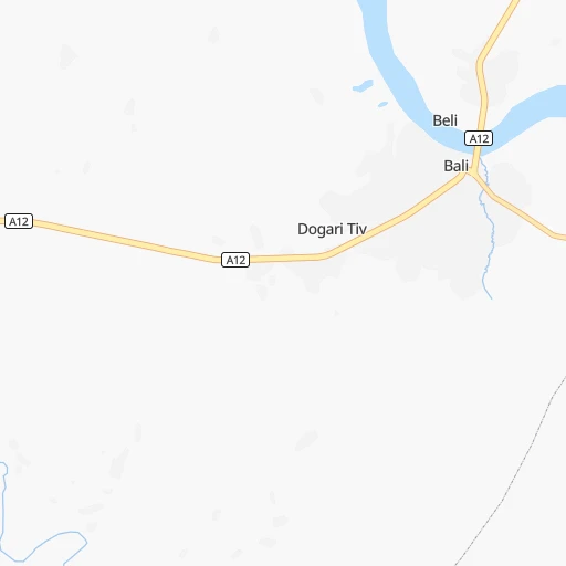
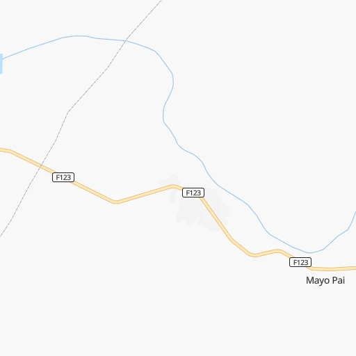
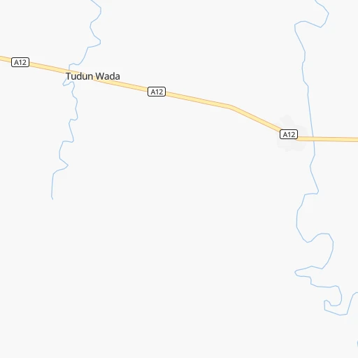
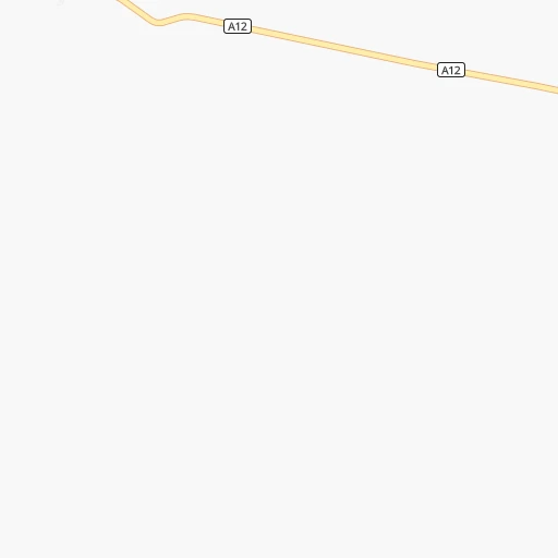
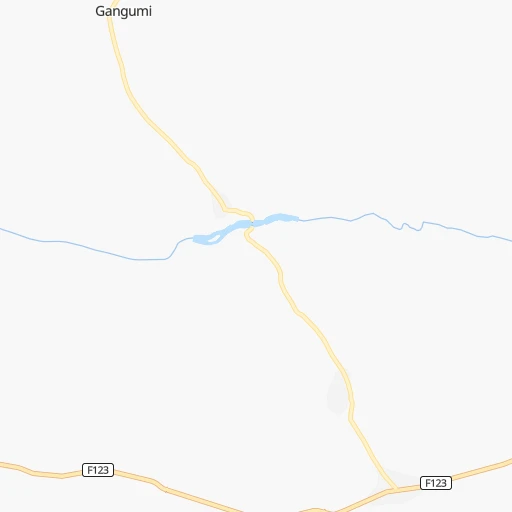
Roadmap (route) to go from Beli to Gusau detailed above, you can also see the course layout on the map.
While doing trip Beli - Gusau by car, the calculated route ends at a distance , or more straight.
Distance and duration of the route between Beli and Gusau
Calculation of distance and route from Gusau to Beli :
672.0897.7 km14h6mn
Continue onto A12 1h21mn 94.9 kmTurn sharp right onto F122 1h58mn 64.1 kmKeep right 0h0mn 57 mTurn slight right onto Takum - Bukuru Federal Road 0h21mn 23.4 kmAt roundabout, take exit 1 onto Takum - Bukuru Federal Road 0h1mn 1.2 kmAt roundabout, take exit 2 onto F242 0h0mn 48 mTurn slight right onto Takum - Bukuru Federal Road 3h38mn 130.9 kmKeep left onto Lafia to Shendam Road 0h1mn 1.2 kmTurn right onto Takum - Bukuru Federal Road 1h18mn 85.7 kmTurn left onto Takum - Bukuru Federal Road 0h17mn 19.1 kmKeep right 1h46mn 45.7 kmAt roundabout, take exit 2 0h1mn 1.1 kmAt roundabout, take exit 1 0h1mn 1.5 kmKeep left 0h1mn 1.3 kmKeep right 0h4mn 4.2 kmAt roundabout, take exit 2 onto Yakubu Gowon Way 0h1mn 1.5 kmAt roundabout, take exit 1 onto Yakubu Gowon Way 0h1mn 1.7 kmAt roundabout, take exit 2 onto Yakubu Gowon Way 0h1mn 870 mAt roundabout, take exit 2 onto Yakubu Gowon Way 0h1mn 599 mKeep left onto A236 0h1mn 1.0 kmAt roundabout, take exit 2 onto A236 0h1mn 1.6 kmAt roundabout, take exit 2 onto A236 0h2mn 2.3 kmAt roundabout, take exit 2 onto Polo roundabout 0h0mn 378 mKeep right 0h3mn 3.5 kmAt roundabout, take exit 1 onto Kaduna-Jos Highway 2h4mn 144.3 kmKeep right onto New Jos Road 1h10mn 79.1 kmKeep right onto Old Jos Road 0h5mn 5.1 kmTurn right onto Zaria High street 0h0mn 122 mAt roundabout, take exit 2 onto Zaria High street 0h1mn 819 mAt roundabout, take exit 2 onto Sokoto Road 0h4mn 4.3 kmTurn slight right onto Sokoto Road 1h56mn 64.8 kmAt roundabout, take exit 2 onto A126 0h3mn 3.0 kmAt roundabout, take exit 2 onto A126 2h37mn 101.9 kmAt roundabout, take exit 2 0h3mn 3.4 kmAt roundabout, take exit 2 0h1mn 1.2 kmAt roundabout, take exit 2 0h1mn 1.1 kmAt roundabout, take exit 3 0h1mn 570 mAt roundabout, take exit 3 0h0mn 92 mArrive at destination 0h0mn 0 m
Travel from Beli (Zamfara) to a selection of major cities.
Distances from Beli to biggest cities in Taraba
Other major cities in country :
- Calabar [22], 461,796 inhabitants. 436 km
- Uyo [21], 436,606 inhabitants. 459 km
- Katsina [24], 432,149 inhabitants. 680 km
- Ado-Ekiti [54], 424,340 inhabitants. 635 km
- Akure [48], 420,594 inhabitants. 641 km
- Bauchi [46], 316,149 inhabitants. 300 km
- Ikeja [05], 313,196 inhabitants. 854 km
- Makurdi [26], 292,645 inhabitants. 271 km
- Minna [31], 291,905 inhabitants. 525 km
- Efon-Alaaye [54], 279,319 inhabitants. 668 km
- Ilesa [42], 277,904 inhabitants. 688 km
- Owo [48], 276,574 inhabitants. 599 km
- Umuahia [45], 264,662 inhabitants. 464 km
- Ondo [48], 257,005 inhabitants. 683 km
- Ikot Ekpene [21], 254,806 inhabitants. 467 km
- Iwo [42], 250,443 inhabitants. 749 km
- Gombe [55], 250,258 inhabitants. 271 km
- Jimeta [35], 248,148 inhabitants. 228 km
- Atani [25], 230,000 inhabitants. 510 km
- Gusau [57], 226,857 inhabitants. 673 km
Route from Gusau to major cities (Nigeria).
- Distance Gusau Lagos731 km
- Distance Gusau Kano203 km
- Distance Gusau Ibadan613 km
- Distance Gusau Kaduna202 km
- Distance Gusau Port Harcourt824 km
- Distance Gusau Benin City659 km
- Distance Gusau Maiduguri708 km
- Distance Gusau Zaria165 km
- Distance Gusau Aba790 km
- Distance Gusau Jos349 km
- Distance Gusau Ilorin470 km
- Distance Gusau Oyo566 km
- Distance Gusau Enugu644 km
- Distance Gusau Abeokuta666 km
- Distance Gusau Abuja358 km
- Distance Gusau Sokoto184 km
- Distance Gusau Onitsha670 km
- Distance Gusau Warri747 km
- Distance Gusau Ebute Ikorodu711 km
- Distance Gusau Okene516 km
Nearest cities to Beli :
- Jos, 816,824 inhabitants. 325 km
- Calabar, 461,796 inhabitants. 436 km
- Bauchi, 316,149 inhabitants. 300 km
- Makurdi, 292,645 inhabitants. 271 km
- Gombe, 250,258 inhabitants. 271 km
- Jimeta, 248,148 inhabitants. 228 km
- Mubi, 225,705 inhabitants. 368 km
- Ugep, 200,276 inhabitants. 393 km
- Abakaliki, 134,102 inhabitants. 359 km
- Lafia, 127,236 inhabitants. 280 km
- Jalingo, 117,757 inhabitants. 123 km
- Pindiga, 106,322 inhabitants. 237 km
- Yola, 96,006 inhabitants. 224 km
- Biu, 95,005 inhabitants. 335 km
- Lere, 93,290 inhabitants. 386 km
- Wukari, 92,933 inhabitants. 132 km
- Isieke, 89,990 inhabitants. 363 km
- Effium, 86,945 inhabitants. 350 km
- Kafanchan, 79,522 inhabitants. 352 km
- Ikom, 79,103 inhabitants. 327 km
- Numan, 77,617 inhabitants. 213 km
- Kagoro, 77,008 inhabitants. 344 km
- Ezza-Ohu, 67,414 inhabitants. 356 km
- Ogoja, 37,466 inhabitants. 275 km
- Katsina-Ala, 36,722 inhabitants. 201 km
- Itu, 36,358 inhabitants. 444 km
- Kumo, 35,712 inhabitants. 245 km
- Pankshin, 31,516 inhabitants. 235 km
- Wamba, 27,137 inhabitants. 287 km
- Takum, 24,822 inhabitants. 127 km
- Ibi, 22,757 inhabitants. 140 km
- Dutsen Wai, 22,062 inhabitants. 451 km
- Garko, 21,141 inhabitants. 259 km
- Gembu, 19,881 inhabitants. 130 km
- Obudu, 19,668 inhabitants. 240 km
- Gombi, 19,616 inhabitants. 322 km
- Deba, 17,671 inhabitants. 266 km
- Igbor, 17,666 inhabitants. 265 km
- Beli, 17,467 inhabitants. 0 km
- Dukku, 16,961 inhabitants. 331 km
- Akwanga, 15,985 inhabitants. 306 km
- Billiri, 15,976 inhabitants. 225 km
- Bukuru, 15,540 inhabitants. 316 km
- Ganye, 15,178 inhabitants. 135 km
- Doma, 15,097 inhabitants. 294 km
- Lere, 14,620 inhabitants. 273 km
- Gassol, 14,326 inhabitants. 95 km
- Shani, 14,305 inhabitants. 289 km
- Dindima, 13,356 inhabitants. 279 km
- Yelwa, 13,234 inhabitants. 183 km
Location Beli (Taraba) :
| Country flag |  |
| Location | Beli |
| State | Taraba |
| County | Bali |
| Country | Nigeria |
| Country code / ISO 2 | NG |
| Latitude | 7.8586800 |
| Longitude | 10.9718700 |
| Altitude | 0 meters |
| Time zone | Africa/Lagos |
Location Gusau (Zamfara) :
| Country flag | |
| Location | Gusau |
| State | Zamfara |
| County | Gusau |
| Country | Nigeria |
| Country code / ISO 2 | NG |
| Latitude | 12.1702400 |
| Longitude | 6.6641200 |
| Altitude | 0 meters |
| Time zone | Africa/Lagos |