
How to get from Isewo Railway Station (Ogun) to Lalupon (Oyo)
Calculate route from Isewo Railway Station (Ogun, Nigeria) to Lalupon (Oyo, Nigeria).
The flight distance (as the crow flies) between Isewo Railway Station and Lalupon is 96.4 km.
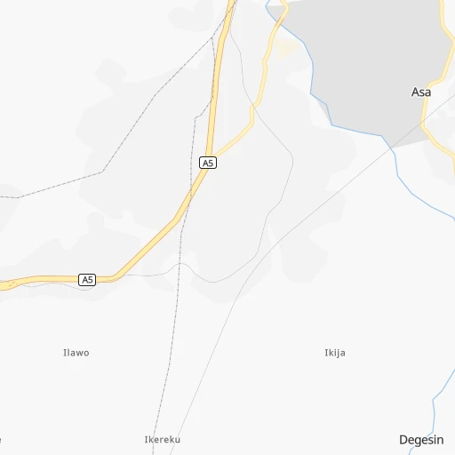
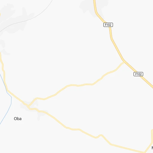
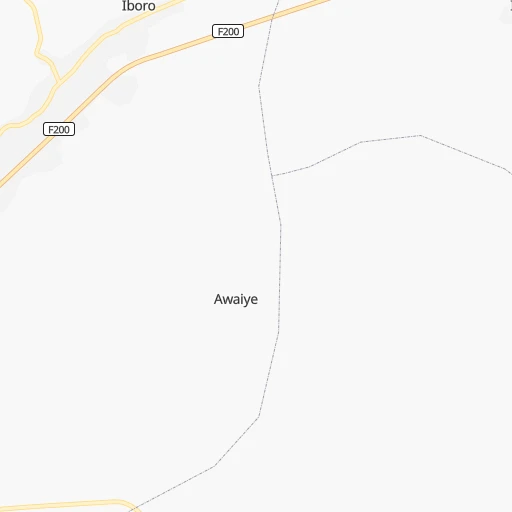
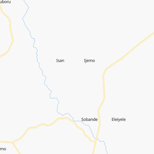
Roadmap (route) to go from Isewo Railway Station to Lalupon detailed above, you can also see the course layout on the map.
While doing trip Isewo Railway Station - Lalupon by car, the calculated route ends at a distance , or more straight.
Distance and duration of the route between Isewo Railway Station and Lalupon
Calculation of distance and route from Lalupon to Isewo Railway Station :
96.4120.4 km3h33mn
Continue 0h0mn 217 mTurn right 0h3mn 1.4 kmTurn left 0h1mn 635 mTurn right onto Lagos-Abeokuta Expressway 0h12mn 8.5 kmAt roundabout, take exit 1 onto Lagos-Abeokuta Expressway 0h1mn 1.6 kmAt roundabout, take exit 1 onto Lagos-Abeokuta Expressway 0h1mn 826 mAt roundabout, take exit 2 onto A5 0h1mn 1.1 kmAt roundabout, take exit 1 onto A5 0h0mn 277 mAt roundabout, take exit 2 0h2mn 1.7 kmAt roundabout, take exit 2 0h5mn 3.7 kmTurn right 0h2mn 1.1 kmTurn slight right 1h15mn 37.7 kmTurn left onto A1 0h5mn 6.3 kmTurn left 0h24mn 39.0 kmKeep right 0h0mn 294 mAt roundabout, take exit 2 onto Iwo Road 0h10mn 7.6 kmContinue onto Iwo - Ibadan Road 0h8mn 8.5 kmTurn left 0h0mn 232 mArrive at destination 0h0mn 0 m
Travel from Isewo Railway Station (Oyo) to a selection of major cities.
Distances from Isewo Railway Station to biggest cities in Ogun
Other major cities in country :
- Uyo [21], 436,606 inhabitants. 559 km
- Katsina [24], 432,149 inhabitants. 812 km
- Ado-Ekiti [54], 424,340 inhabitants. 221 km
- Akure [48], 420,594 inhabitants. 210 km
- Bauchi [46], 316,149 inhabitants. 806 km
- Ikeja [05], 313,196 inhabitants. 51 km
- Makurdi [26], 292,645 inhabitants. 581 km
- Minna [31], 291,905 inhabitants. 458 km
- Efon-Alaaye [54], 279,319 inhabitants. 191 km
- Ilesa [42], 277,904 inhabitants. 172 km
- Owo [48], 276,574 inhabitants. 253 km
- Umuahia [45], 264,662 inhabitants. 494 km
- Ondo [48], 257,005 inhabitants. 170 km
- Ikot Ekpene [21], 254,806 inhabitants. 531 km
- Iwo [42], 250,443 inhabitants. 117 km
- Gombe [55], 250,258 inhabitants. 938 km
- Jimeta [35], 248,148 inhabitants. 1,039 km
- Atani [25], 230,000 inhabitants. 398 km
- Gusau [57], 226,857 inhabitants. 679 km
- Mubi [35], 225,705 inhabitants. 1,154 km
Route from Lalupon to major cities (Nigeria).
- Distance Lalupon Lagos135 km
- Distance Lalupon Kano702 km
- Distance Lalupon Kaduna503 km
- Distance Lalupon Port Harcourt443 km
- Distance Lalupon Benin City213 km
- Distance Lalupon Maiduguri1,110 km
- Distance Lalupon Zaria571 km
- Distance Lalupon Aba450 km
- Distance Lalupon Jos597 km
- Distance Lalupon Ilorin126 km
- Distance Lalupon Enugu396 km
- Distance Lalupon Abeokuta87 km
- Distance Lalupon Abuja417 km
- Distance Lalupon Sokoto636 km
- Distance Lalupon Onitsha334 km
- Distance Lalupon Warri286 km
- Distance Lalupon Ebute Ikorodu116 km
- Distance Lalupon Okene240 km
- Distance Lalupon Calabar548 km
- Distance Lalupon Uyo505 km
Nearest cities to Isewo Railway Station :
- Lagos, 9,000,000 inhabitants. 67 km
- Ibadan, 3,565,108 inhabitants. 76 km
- Benin City, 1,125,058 inhabitants. 269 km
- Ilorin, 814,192 inhabitants. 211 km
- Oyo, 736,072 inhabitants. 113 km
- Abeokuta, 593,100 inhabitants. 13 km
- Warri, 536,023 inhabitants. 320 km
- Ebute Ikorodu, 535,619 inhabitants. 54 km
- Okene, 479,178 inhabitants. 329 km
- Ado-Ekiti, 424,340 inhabitants. 221 km
- Akure, 420,594 inhabitants. 210 km
- Ikeja, 313,196 inhabitants. 51 km
- Efon-Alaaye, 279,319 inhabitants. 191 km
- Ilesa, 277,904 inhabitants. 172 km
- Owo, 276,574 inhabitants. 253 km
- Ondo, 257,005 inhabitants. 170 km
- Iwo, 250,443 inhabitants. 117 km
- Ikire, 222,160 inhabitants. 104 km
- Shagamu, 214,558 inhabitants. 44 km
- Ijebu-Ode, 209,175 inhabitants. 73 km
- Ise-Ekiti, 190,063 inhabitants. 239 km
- Ila Orangun, 179,192 inhabitants. 207 km
- Saki, 178,677 inhabitants. 180 km
- Bida, 171,656 inhabitants. 375 km
- Ijero-Ekiti, 167,632 inhabitants. 213 km
- Inisa, 164,161 inhabitants. 145 km
- Sapele, 161,686 inhabitants. 293 km
- Osogbo, 156,694 inhabitants. 160 km
- Kisi, 155,510 inhabitants. 234 km
- Gbongan, 139,485 inhabitants. 126 km
- Ejigbo, 138,357 inhabitants. 147 km
- Igboho, 136,764 inhabitants. 205 km
- Ikirun, 134,240 inhabitants. 179 km
- Modakeke, 119,529 inhabitants. 113 km
- Ilobu, 118,089 inhabitants. 158 km
- Offa, 113,830 inhabitants. 199 km
- Ijebu-Igbo, 109,261 inhabitants. 78 km
- Ikere-Ekiti, 103,054 inhabitants. 219 km
- Lafiagi, 102,779 inhabitants. 308 km
- Olupona, 95,002 inhabitants. 115 km
- Igbo-Ora, 92,719 inhabitants. 43 km
- Emure-Ekiti, 90,645 inhabitants. 242 km
- Ifo, 88,272 inhabitants. 29 km
- Igede-Ekiti, 87,282 inhabitants. 213 km
- Idanre, 86,468 inhabitants. 201 km
- Makoko, 85,840 inhabitants. 62 km
- Epe, 84,711 inhabitants. 92 km
- Ogaminana, 84,373 inhabitants. 328 km
- Ipoti, 82,113 inhabitants. 217 km
- Lalupon, 81,130 inhabitants. 97 km
Location Isewo Railway Station (Ogun) :
| Country flag |  |
| Location | Isewo Railway Station |
| State | Ogun |
| County | Obafemi Owode |
| Country | Nigeria |
| Country code / ISO 2 | NG |
| Latitude | 7.0500000 |
| Longitude | 3.3000000 |
| Altitude | 0 meters |
| Time zone | Africa/Lagos |
Location Lalupon (Oyo) :
| Country flag | |
| Location | Lalupon |
| State | Oyo |
| County | Lagelu |
| Country | Nigeria |
| Country code / ISO 2 | NG |
| Latitude | 7.4666700 |
| Longitude | 4.0666700 |
| Altitude | 0 meters |
| Time zone | Africa/Lagos |