
How to get from Lokoja (Kogi) to Mubi (Adamawa)
Calculate route from Lokoja (Kogi, Nigeria) to Mubi (Adamawa, Nigeria).
The flight distance (as the crow flies) between Lokoja and Mubi is 767.0 km.
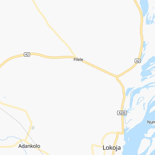
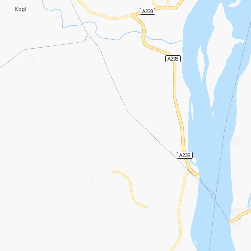
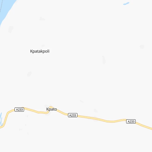
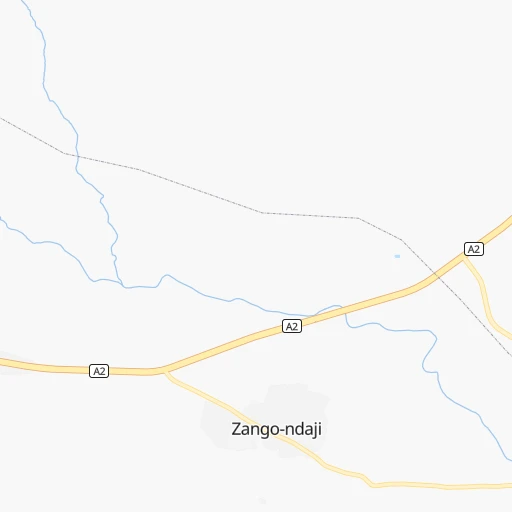
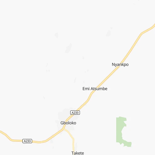
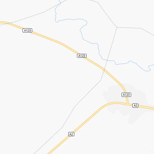
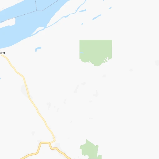
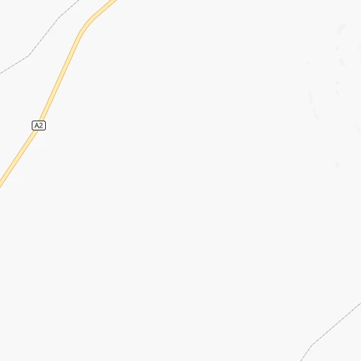
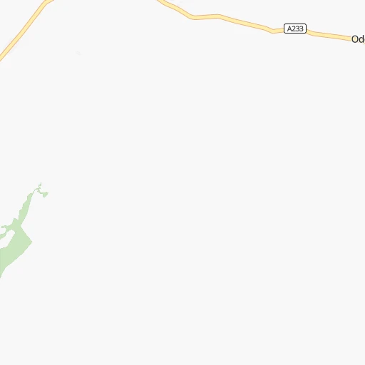
Roadmap (route) to go from Lokoja to Mubi detailed above, you can also see the course layout on the map.
While doing trip Lokoja - Mubi by car, the calculated route ends at a distance , or more straight.
Distance and duration of the route between Lokoja and Mubi
Calculation of distance and route from Mubi to Lokoja :
767.0987.8 km15h9mn
Continue 0h0mn 211 mTurn right 0h1mn 590 mAt roundabout, take exit 3 0h2mn 1.6 kmAt roundabout, take exit 2 onto Chief Olusegun Obasanjo way 0h0mn 389 mTurn left onto A233 0h3mn 3.7 kmKeep right 1h37mn 25.3 kmTurn slight right onto A2 0h2mn 2.1 kmTurn slight right onto A2 1h38mn 44.0 kmTurn right 0h0mn 161 mTurn left 0h0mn 128 mTurn sharp right 0h0mn 231 mTurn right 0h11mn 5.7 kmKeep left 0h22mn 11.2 kmTurn right onto Abaji to Nassarawa Road 3h41mn 177.2 kmKeep right 0h0mn 53 mTurn slight right 0h26mn 28.1 kmAt roundabout, take exit 3 0h23mn 25.2 kmAt roundabout, take exit 1 0h19mn 20.7 kmAt roundabout, take exit 2 onto A3 1h40mn 46.3 kmAt roundabout, take exit 2 onto A3 0h4mn 4.8 kmAt roundabout, take exit 2 onto A3 0h1mn 923 mAt roundabout, take exit 1 onto A3 0h1mn 1.5 kmAt roundabout, take exit 2 onto A3 0h1mn 628 mAt roundabout, take exit 2 onto A3 0h1mn 1.5 kmAt roundabout, take exit 2 onto A3 0h1mn 1.5 kmAt roundabout, take exit 2 onto A3 0h4mn 4.2 kmAt roundabout, take exit 2 onto Yakubu Gowon Way 0h1mn 1.5 kmAt roundabout, take exit 1 onto Yakubu Gowon Way 0h1mn 1.7 kmAt roundabout, take exit 2 onto Yakubu Gowon Way 0h1mn 870 mAt roundabout, take exit 2 onto Yakubu Gowon Way 0h1mn 599 mKeep left onto A236 0h1mn 1.0 kmAt roundabout, take exit 1 0h2mn 1.8 kmAt roundabout, take exit 2 0h0mn 484 mTurn left onto Amado-Bello Way 0h1mn 856 mAt roundabout, take exit 1 0h0mn 99 mAt roundabout, take exit 2 onto Bauchi Road 0h4mn 4.2 kmTurn left onto A3 0h0mn 421 mKeep right onto A3 2h40mn 117.0 kmAt roundabout, take exit 2 onto A345 0h1mn 1.4 kmAt roundabout, take exit 2 onto A345 0h1mn 1.5 kmAt roundabout, take exit 2 onto A345 2h6mn 147.4 kmAt roundabout, take exit 3 onto GOMBE - YOLA ROAD 0h5mn 5.7 kmAt roundabout, take exit 2 onto Gombe - Biu Road 0h2mn 1.8 kmAt roundabout, take exit 2 onto Gombe - Biu Road 0h5mn 5.5 kmAt roundabout, take exit 2 onto Gombe - Biu Road 2h49mn 119.6 kmAt roundabout, take exit 1 onto Gombi - Baromari Road 1h26mn 94.1 kmTurn left onto A13 1h50mn 57.8 kmKeep right 0h12mn 12.8 kmContinue 0h1mn 745 mTurn sharp left 0h1mn 962 mTurn right 0h0mn 158 mArrive at destination 0h0mn 0 m
Travel from Lokoja (Adamawa) to a selection of major cities.
Distances from Lokoja to biggest cities in Kogi
Other major cities in country :
- Uyo [21], 436,606 inhabitants. 333 km
- Katsina [24], 432,149 inhabitants. 586 km
- Ado-Ekiti [54], 424,340 inhabitants. 169 km
- Akure [48], 420,594 inhabitants. 181 km
- Bauchi [46], 316,149 inhabitants. 441 km
- Ikeja [05], 313,196 inhabitants. 398 km
- Makurdi [26], 292,645 inhabitants. 197 km
- Minna [31], 291,905 inhabitants. 204 km
- Efon-Alaaye [54], 279,319 inhabitants. 201 km
- Ilesa [42], 277,904 inhabitants. 221 km
- Owo [48], 276,574 inhabitants. 144 km
- Umuahia [45], 264,662 inhabitants. 266 km
- Ondo [48], 257,005 inhabitants. 224 km
- Ikot Ekpene [21], 254,806 inhabitants. 310 km
- Iwo [42], 250,443 inhabitants. 283 km
- Gombe [55], 250,258 inhabitants. 560 km
- Jimeta [35], 248,148 inhabitants. 651 km
- Atani [25], 230,000 inhabitants. 199 km
- Gusau [57], 226,857 inhabitants. 487 km
- Mubi [35], 225,705 inhabitants. 768 km
Route from Mubi to major cities (Nigeria).
- Distance Mubi Lagos1,167 km
- Distance Mubi Kano553 km
- Distance Mubi Ibadan1,079 km
- Distance Mubi Kaduna639 km
- Distance Mubi Port Harcourt922 km
- Distance Mubi Benin City948 km
- Distance Mubi Maiduguri176 km
- Distance Mubi Zaria614 km
- Distance Mubi Aba868 km
- Distance Mubi Jos481 km
- Distance Mubi Ilorin978 km
- Distance Mubi Oyo1,061 km
- Distance Mubi Enugu765 km
- Distance Mubi Abeokuta1,145 km
- Distance Mubi Abuja648 km
- Distance Mubi Sokoto928 km
- Distance Mubi Onitsha848 km
- Distance Mubi Warri983 km
- Distance Mubi Ebute Ikorodu1,151 km
- Distance Mubi Okene830 km
Nearest cities to Lokoja :
- Ibadan, 3,565,108 inhabitants. 316 km
- Kaduna, 1,582,102 inhabitants. 313 km
- Benin City, 1,125,058 inhabitants. 204 km
- Aba, 897,560 inhabitants. 307 km
- Jos, 816,824 inhabitants. 335 km
- Ilorin, 814,192 inhabitants. 254 km
- Oyo, 736,072 inhabitants. 310 km
- Enugu, 688,862 inhabitants. 173 km
- Abuja, 590,400 inhabitants. 163 km
- Onitsha, 561,066 inhabitants. 183 km
- Warri, 536,023 inhabitants. 276 km
- Okene, 479,178 inhabitants. 62 km
- Calabar, 461,796 inhabitants. 361 km
- Uyo, 436,606 inhabitants. 333 km
- Ado-Ekiti, 424,340 inhabitants. 169 km
- Akure, 420,594 inhabitants. 181 km
- Makurdi, 292,645 inhabitants. 197 km
- Minna, 291,905 inhabitants. 204 km
- Efon-Alaaye, 279,319 inhabitants. 201 km
- Ilesa, 277,904 inhabitants. 221 km
- Owo, 276,574 inhabitants. 144 km
- Umuahia, 264,662 inhabitants. 266 km
- Ondo, 257,005 inhabitants. 224 km
- Ikot Ekpene, 254,806 inhabitants. 310 km
- Iwo, 250,443 inhabitants. 283 km
- Atani, 230,000 inhabitants. 199 km
- Ikire, 222,160 inhabitants. 286 km
- Owerri, 215,038 inhabitants. 260 km
- Ijebu-Ode, 209,175 inhabitants. 330 km
- Ugep, 200,276 inhabitants. 266 km
- Nnewi, 193,987 inhabitants. 199 km
- Ise-Ekiti, 190,063 inhabitants. 150 km
- Ila Orangun, 179,192 inhabitants. 204 km
- Bida, 171,656 inhabitants. 164 km
- Awka, 167,738 inhabitants. 180 km
- Ijero-Ekiti, 167,632 inhabitants. 185 km
- Inisa, 164,161 inhabitants. 266 km
- Suleja, 162,135 inhabitants. 161 km
- Sapele, 161,686 inhabitants. 242 km
- Osogbo, 156,694 inhabitants. 241 km
- Kisi, 155,510 inhabitants. 349 km
- Gbongan, 139,485 inhabitants. 266 km
- Ejigbo, 138,357 inhabitants. 268 km
- Igboho, 136,764 inhabitants. 349 km
- Ikirun, 134,240 inhabitants. 229 km
- Abakaliki, 134,102 inhabitants. 223 km
- Amaigbo, 127,300 inhabitants. 254 km
- Lafia, 127,236 inhabitants. 210 km
- Modakeke, 119,529 inhabitants. 277 km
- Ilobu, 118,089 inhabitants. 249 km
Location Lokoja (Kogi) :
| Country flag |  |
| Location | Lokoja |
| State | Kogi |
| County | Lokoja |
| Country | Nigeria |
| Country code / ISO 2 | NG |
| Latitude | 7.7968800 |
| Longitude | 6.7404800 |
| Altitude | 0 meters |
| Time zone | Africa/Lagos |
Location Mubi (Adamawa) :
| Country flag | |
| Location | Mubi |
| State | Adamawa |
| County | Mubi North |
| Country | Nigeria |
| Country code / ISO 2 | NG |
| Latitude | 10.2685800 |
| Longitude | 13.2670100 |
| Altitude | 0 meters |
| Time zone | Africa/Lagos |