


How to get from Ohafia-Ifigh (Abia) to Sokoto (Sokoto)
Calculate route from Ohafia-Ifigh (Abia, Nigeria) to Sokoto (Sokoto, Nigeria).
The flight distance (as the crow flies) between Ohafia-Ifigh and Sokoto is 874.2 km.
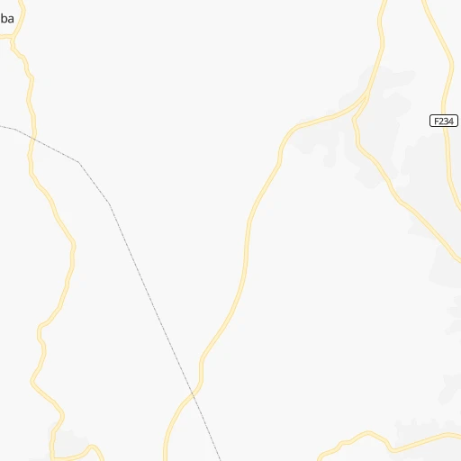
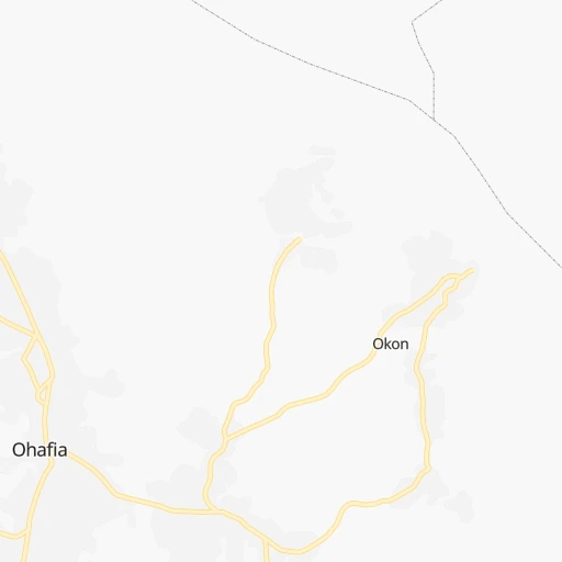
Roadmap (route) to go from Ohafia-Ifigh to Sokoto detailed above, you can also see the course layout on the map.
While doing trip Ohafia-Ifigh - Sokoto by car, the calculated route ends at a distance , or more straight.
Distance and duration of the route between Ohafia-Ifigh and Sokoto
Calculation of distance and route from Sokoto to Ohafia-Ifigh :
874.21,141.1 km18h58mn
Continue 0h1mn 573 mTurn right 0h2mn 1.1 kmContinue onto F107 0h0mn 200 mTurn left onto F234 0h14mn 14.0 kmTurn sharp right onto F234 0h12mn 12.2 kmTurn left onto F234 0h12mn 11.6 kmTurn right onto F112 0h0mn 16 mTurn sharp left 0h0mn 29 mTurn right 0h16mn 17.4 kmAt roundabout, take exit 2 onto F113 0h6mn 6.2 kmAt roundabout, take exit 1 1h38mn 41.4 kmTurn right onto Enugu-Abakaliki Road 0h2mn 2.1 kmTurn left 0h2mn 807 mKeep right 0h16mn 8.2 kmTurn sharp right 0h0mn 383 mTurn left 0h2mn 847 mTurn slight right 0h0mn 25 mTurn left 0h19mn 21.6 kmTurn left onto Inikiri Bernard Road 0h0mn 56 mTurn right 0h3mn 1.6 kmKeep left 0h2mn 868 mKeep left 0h16mn 8.0 kmKeep right 0h13mn 6.4 kmTurn right 0h1mn 473 mTurn left 0h23mn 11.7 kmTurn slight right 1h47mn 39.4 kmTurn left onto F238 0h2mn 2.4 kmTurn sharp left onto A3 0h1mn 819 mTurn right 0h0mn 11 mTurn left 0h3mn 1.4 kmKeep right onto A3 0h3mn 1.8 kmAt roundabout, take exit 2 onto Oturkpo - Weto Road 1h31mn 34.3 kmAt roundabout, take exit 2 onto F238 0h0mn 63 mTurn slight right onto Oturkpo - Weto Road 1h8mn 75.2 kmKeep left onto F238 2h41mn 110.8 kmKeep right 1h37mn 43.9 kmContinue onto Abuja-Keffi Expressway 0h3mn 5.7 kmKeep right 0h0mn 574 mKeep right 0h1mn 835 mAt roundabout, take exit 1 0h0mn 417 mKeep left 0h12mn 20.7 kmKeep right 0h0mn 434 mKeep right 0h2mn 2.4 kmAt roundabout, take exit 1 0h10mn 11.4 kmAt roundabout, take exit 2 0h4mn 4.6 kmAt roundabout, take exit 2 0h1mn 886 mAt roundabout, take exit 2 0h1mn 869 mAt roundabout, take exit 2 0h1mn 828 mAt roundabout, take exit 2 0h20mn 22.5 kmTurn sharp left 0h0mn 33 mTurn sharp right 0h7mn 3.3 kmTurn right onto Abuja-Kaduna Highway 2h33mn 109.1 kmKeep right toward A235 0h1mn 791 mTurn left 0h0mn 267 mContinue onto Inuwa Abdulkadir Road 0h2mn 2.2 kmContinue 0h0mn 13 mTurn left onto Kachia Road 0h2mn 2.6 kmAt roundabout, take exit 1 0h2mn 1.8 kmAt roundabout, take exit 2 onto Junction Road 0h1mn 1.2 kmAt roundabout, take exit 2 onto Junction Road 0h1mn 858 mAt roundabout, take exit 2 onto Ahmadu Bello Way 0h0mn 531 mAt roundabout, take exit 2 onto Ahmadu Bello Way 0h2mn 2.0 kmAt roundabout, take exit 2 onto Ahmadu Bello Way 0h1mn 690 mAt roundabout, take exit 1 onto Ahmadu Bello Way 0h1mn 1.1 kmAt roundabout, take exit 2 onto Ali Akilu Road 1h1mn 70.4 kmKeep right 0h0mn 414 mKeep left 0h0mn 70 mTurn sharp right onto A236 0h0mn 34 mTurn left 0h9mn 6.1 kmKeep right 0h0mn 236 mTurn left onto A126 1h56mn 64.8 kmAt roundabout, take exit 2 onto A126 0h3mn 3.0 kmAt roundabout, take exit 2 onto A126 2h37mn 101.9 kmAt roundabout, take exit 1 onto A126 0h4mn 4.3 kmAt roundabout, take exit 2 onto A126 0h6mn 6.8 kmAt roundabout, take exit 1 onto A126 3h51mn 199.4 kmAt roundabout, take exit 2 onto A126 0h1mn 1.7 kmAt roundabout, take exit 2 onto A126 0h1mn 909 mAt roundabout, take exit 1 0h1mn 1.1 kmTurn left 0h1mn 516 mAt roundabout, take exit 2 0h1mn 1.0 kmAt roundabout, take exit 3 0h1mn 925 mAt roundabout, take exit 1 0h0mn 492 mKeep right 0h1mn 341 mKeep right 0h1mn 386 mArrive at destination 0h0mn 0 m
Travel from Ohafia-Ifigh (Sokoto) to a selection of major cities.
Distances from Ohafia-Ifigh to biggest cities in Abia
Other major cities in country :
- Uyo [21], 436,606 inhabitants. 64 km
- Katsina [24], 432,149 inhabitants. 821 km
- Ado-Ekiti [54], 424,340 inhabitants. 363 km
- Akure [48], 420,594 inhabitants. 342 km
- Bauchi [46], 316,149 inhabitants. 569 km
- Ikeja [05], 313,196 inhabitants. 507 km
- Makurdi [26], 292,645 inhabitants. 249 km
- Minna [31], 291,905 inhabitants. 467 km
- Efon-Alaaye [54], 279,319 inhabitants. 392 km
- Ilesa [42], 277,904 inhabitants. 407 km
- Owo [48], 276,574 inhabitants. 303 km
- Ondo [48], 257,005 inhabitants. 368 km
- Ikot Ekpene [21], 254,806 inhabitants. 49 km
- Iwo [42], 250,443 inhabitants. 460 km
- Gombe [55], 250,258 inhabitants. 638 km
- Jimeta [35], 248,148 inhabitants. 655 km
- Atani [25], 230,000 inhabitants. 126 km
- Gusau [57], 226,857 inhabitants. 741 km
- Mubi [35], 225,705 inhabitants. 794 km
- Ikire [42], 222,160 inhabitants. 446 km
Route from Sokoto to major cities (Nigeria).
- Distance Sokoto Lagos763 km
- Distance Sokoto Kano375 km
- Distance Sokoto Ibadan650 km
- Distance Sokoto Kaduna370 km
- Distance Sokoto Port Harcourt943 km
- Distance Sokoto Benin City750 km
- Distance Sokoto Maiduguri871 km
- Distance Sokoto Zaria346 km
- Distance Sokoto Aba916 km
- Distance Sokoto Jos529 km
- Distance Sokoto Ilorin514 km
- Distance Sokoto Oyo597 km
- Distance Sokoto Enugu777 km
- Distance Sokoto Abeokuta690 km
- Distance Sokoto Abuja509 km
- Distance Sokoto Onitsha788 km
- Distance Sokoto Warri842 km
- Distance Sokoto Ebute Ikorodu745 km
- Distance Sokoto Okene623 km
- Distance Sokoto Calabar964 km
Nearest cities to Ohafia-Ifigh :
- Port Harcourt, 1,148,665 inhabitants. 129 km
- Benin City, 1,125,058 inhabitants. 255 km
- Aba, 897,560 inhabitants. 75 km
- Enugu, 688,862 inhabitants. 98 km
- Onitsha, 561,066 inhabitants. 128 km
- Warri, 536,023 inhabitants. 229 km
- Okene, 479,178 inhabitants. 277 km
- Calabar, 461,796 inhabitants. 93 km
- Uyo, 436,606 inhabitants. 64 km
- Ado-Ekiti, 424,340 inhabitants. 363 km
- Akure, 420,594 inhabitants. 342 km
- Makurdi, 292,645 inhabitants. 249 km
- Efon-Alaaye, 279,319 inhabitants. 392 km
- Owo, 276,574 inhabitants. 303 km
- Umuahia, 264,662 inhabitants. 37 km
- Ondo, 257,005 inhabitants. 368 km
- Ikot Ekpene, 254,806 inhabitants. 49 km
- Atani, 230,000 inhabitants. 126 km
- Owerri, 215,038 inhabitants. 87 km
- Ugep, 200,276 inhabitants. 37 km
- Nnewi, 193,987 inhabitants. 109 km
- Ise-Ekiti, 190,063 inhabitants. 335 km
- Ila Orangun, 179,192 inhabitants. 418 km
- Awka, 167,738 inhabitants. 106 km
- Ijero-Ekiti, 167,632 inhabitants. 390 km
- Sapele, 161,686 inhabitants. 239 km
- Buguma, 135,404 inhabitants. 144 km
- Abakaliki, 134,102 inhabitants. 86 km
- Okrika, 133,271 inhabitants. 126 km
- Amaigbo, 127,300 inhabitants. 20 km
- Lafia, 127,236 inhabitants. 330 km
- Okigwe, 115,499 inhabitants. 56 km
- Esuk Oron, 112,033 inhabitants. 103 km
- Nsukka, 111,017 inhabitants. 146 km
- Uromi, 108,608 inhabitants. 203 km
- Nkpor, 103,733 inhabitants. 124 km
- Ikere-Ekiti, 103,054 inhabitants. 354 km
- Wukari, 92,933 inhabitants. 332 km
- Emure-Ekiti, 90,645 inhabitants. 330 km
- Isieke, 89,990 inhabitants. 89 km
- Igede-Ekiti, 87,282 inhabitants. 375 km
- Effium, 86,945 inhabitants. 116 km
- Idanre, 86,468 inhabitants. 342 km
- Ogaminana, 84,373 inhabitants. 282 km
- Ihiala, 83,265 inhabitants. 109 km
- Ipoti, 82,113 inhabitants. 393 km
- Ughelli, 79,986 inhabitants. 201 km
- Bende, 79,618 inhabitants. 21 km
- Oke Mesi, 79,563 inhabitants. 403 km
- Ikom, 79,103 inhabitants. 107 km
Location Ohafia-Ifigh (Abia) :
| Country flag |  |
| Location | Ohafia-Ifigh |
| State | Abia |
| County | Ohafia |
| Country | Nigeria |
| Country code / ISO 2 | NG |
| Latitude | 5.6145500 |
| Longitude | 7.8119100 |
| Altitude | 0 meters |
| Time zone | Africa/Lagos |
Location Sokoto (Sokoto) :
| Country flag | |
| Location | Sokoto |
| State | Sokoto |
| County | Sokoto North |
| Country | Nigeria |
| Country code / ISO 2 | NG |
| Latitude | 13.0626900 |
| Longitude | 5.2432200 |
| Altitude | 0 meters |
| Time zone | Africa/Lagos |