
How to get from Soba (Kaduna) to Kuje (FCT)
Calculate route from Soba (Kaduna, Nigeria) to Kuje (FCT, Nigeria).
The flight distance (as the crow flies) between Soba and Kuje is 250.6 km.
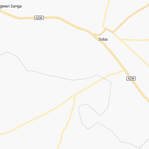
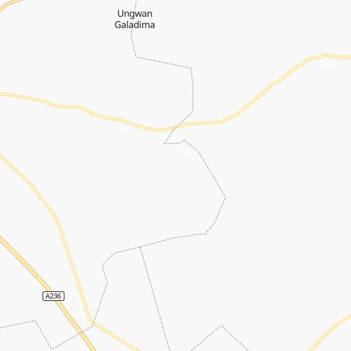
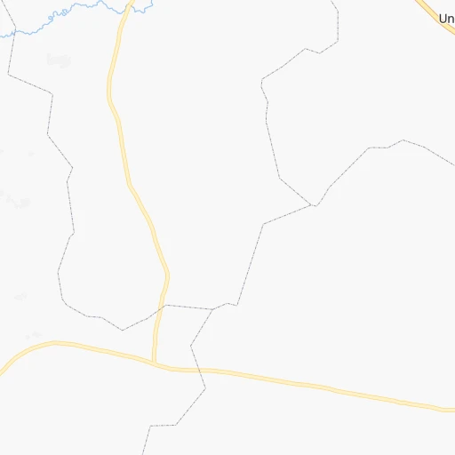
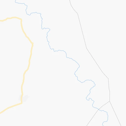
Roadmap (route) to go from Soba to Kuje detailed above, you can also see the course layout on the map.
While doing trip Soba - Kuje by car, the calculated route ends at a distance , or more straight.
Distance and duration of the route between Soba and Kuje
Calculation of distance and route from Kuje to Soba :
250.6332.1 km5h50mn
Continue onto New Jos Road 1h33mn 35.3 kmKeep right onto Old Jos Road 0h5mn 5.1 kmTurn right onto Zaria High street 0h0mn 122 mAt roundabout, take exit 4 onto Zaria High street 0h2mn 1.7 kmAt roundabout, take exit 1 onto A236 0h2mn 2.9 kmKeep right 0h0mn 380 mTurn right 0h0mn 118 mKeep right 0h0mn 112 mTurn right onto A2 1h56mn 65.1 kmKeep left onto Ali Akilu Road 0h5mn 5.8 kmAt roundabout, take exit 2 onto Ahmadu Bello Way 0h1mn 1.1 kmAt roundabout, take exit 2 onto Ahmadu Bello Way 0h1mn 692 mAt roundabout, take exit 2 onto Ahmadu Bello Way 0h2mn 2.0 kmAt roundabout, take exit 2 onto Ahmadu Bello Way 0h0mn 518 mAt roundabout, take exit 2 onto Junction Road 0h1mn 863 mAt roundabout, take exit 1 onto Junction Road 0h1mn 1.2 kmAt roundabout, take exit 2 onto Kachia Road 0h2mn 1.8 kmAt roundabout, take exit 2 onto Kachia Road 0h2mn 2.7 kmTurn right onto Inuwa Abdulkadir Road 0h2mn 2.2 kmKeep left 0h0mn 258 mTurn right onto Nnamdi Azikwe Way 0h1mn 710 mKeep right toward A2 2h19mn 163.5 kmContinue onto B 0h11mn 13.4 kmKeep right 0h0mn 386 mKeep right 0h11mn 13.6 kmKeep right 0h0mn 211 mKeep right 0h0mn 534 mTurn slight right 0h9mn 8.6 kmTurn right 0h1mn 1.3 kmArrive at destination 0h0mn 0 m
Travel from Soba (FCT) to a selection of major cities.
Distances from Soba to biggest cities in Kaduna
Other major cities in country :
- Katsina [24], 432,149 inhabitants. 229 km
- Ado-Ekiti [54], 424,340 inhabitants. 487 km
- Akure [48], 420,594 inhabitants. 521 km
- Bauchi [46], 316,149 inhabitants. 209 km
- Ikeja [05], 313,196 inhabitants. 712 km
- Makurdi [26], 292,645 inhabitants. 365 km
- Minna [31], 291,905 inhabitants. 225 km
- Efon-Alaaye [54], 279,319 inhabitants. 506 km
- Ilesa [42], 277,904 inhabitants. 522 km
- Owo [48], 276,574 inhabitants. 501 km
- Umuahia [45], 264,662 inhabitants. 611 km
- Ondo [48], 257,005 inhabitants. 559 km
- Ikot Ekpene [21], 254,806 inhabitants. 647 km
- Iwo [42], 250,443 inhabitants. 566 km
- Gombe [55], 250,258 inhabitants. 349 km
- Jimeta [35], 248,148 inhabitants. 518 km
- Atani [25], 230,000 inhabitants. 572 km
- Gusau [57], 226,857 inhabitants. 202 km
- Mubi [35], 225,705 inhabitants. 575 km
- Ikire [42], 222,160 inhabitants. 585 km
Route from Kuje to major cities (Nigeria).
- Distance Kuje Lagos502 km
- Distance Kuje Kano375 km
- Distance Kuje Ibadan402 km
- Distance Kuje Kaduna185 km
- Distance Kuje Port Harcourt457 km
- Distance Kuje Benin City334 km
- Distance Kuje Maiduguri728 km
- Distance Kuje Zaria254 km
- Distance Kuje Aba420 km
- Distance Kuje Jos217 km
- Distance Kuje Ilorin299 km
- Distance Kuje Oyo381 km
- Distance Kuje Enugu273 km
- Distance Kuje Abeokuta469 km
- Distance Kuje Sokoto514 km
- Distance Kuje Onitsha308 km
- Distance Kuje Warri408 km
- Distance Kuje Ebute Ikorodu484 km
- Distance Kuje Okene184 km
- Distance Kuje Calabar453 km
Nearest cities to Soba :
- Kano, 3,626,068 inhabitants. 124 km
- Kaduna, 1,582,102 inhabitants. 85 km
- Zaria, 975,153 inhabitants. 39 km
- Jos, 816,824 inhabitants. 149 km
- Abuja, 590,400 inhabitants. 223 km
- Sokoto, 563,861 inhabitants. 384 km
- Katsina, 432,149 inhabitants. 229 km
- Bauchi, 316,149 inhabitants. 209 km
- Minna, 291,905 inhabitants. 225 km
- Gusau, 226,857 inhabitants. 202 km
- Bida, 171,656 inhabitants. 308 km
- Suleja, 162,135 inhabitants. 222 km
- Funtua, 136,811 inhabitants. 101 km
- Lafia, 127,236 inhabitants. 281 km
- Gashua, 125,817 inhabitants. 387 km
- Nguru, 111,014 inhabitants. 336 km
- Hadejia, 110,753 inhabitants. 271 km
- Pindiga, 106,322 inhabitants. 336 km
- Azare, 105,687 inhabitants. 245 km
- Lafiagi, 102,779 inhabitants. 374 km
- Kontagora, 98,754 inhabitants. 290 km
- Kuje, 97,367 inhabitants. 251 km
- Lere, 93,290 inhabitants. 87 km
- Keffi, 85,911 inhabitants. 239 km
- Kafanchan, 79,522 inhabitants. 158 km
- Kagoro, 77,008 inhabitants. 157 km
- Malumfashi, 70,709 inhabitants. 102 km
- Kaura Namoda, 69,725 inhabitants. 241 km
- Gumel, 42,742 inhabitants. 234 km
- Talata Mafara, 39,045 inhabitants. 280 km
- Gummi, 38,744 inhabitants. 346 km
- Pankshin, 31,516 inhabitants. 238 km
- Nasarawa, 30,949 inhabitants. 275 km
- Kachia, 30,893 inhabitants. 124 km
- Moriki, 28,735 inhabitants. 271 km
- Patigi, 28,285 inhabitants. 356 km
- Wamba, 27,137 inhabitants. 235 km
- Baro, 26,821 inhabitants. 320 km
- Birnin Kudu, 26,565 inhabitants. 164 km
- Daura, 25,289 inhabitants. 230 km
- Zungeru, 24,447 inhabitants. 246 km
- Zuru, 24,338 inhabitants. 312 km
- Tegina, 24,037 inhabitants. 228 km
- Wudil, 23,066 inhabitants. 126 km
- Ibi, 22,757 inhabitants. 363 km
- Sofo-Birnin-Gwari, 22,380 inhabitants. 140 km
- Dutsen Wai, 22,062 inhabitants. 21 km
- Gaya, 20,959 inhabitants. 142 km
- Kari, 18,812 inhabitants. 275 km
- Darazo, 18,415 inhabitants. 257 km
Location Soba (Kaduna) :
| Country flag |  |
| Location | Soba |
| State | Kaduna |
| County | Soba |
| Country | Nigeria |
| Country code / ISO 2 | NG |
| Latitude | 10.9813300 |
| Longitude | 8.0574900 |
| Altitude | 0 meters |
| Time zone | Africa/Lagos |
Location Kuje (FCT) :
| Country flag | |
| Location | Kuje |
| State | FCT |
| County | Kuje |
| Country | Nigeria |
| Country code / ISO 2 | NG |
| Latitude | 8.8795200 |
| Longitude | 7.2275600 |
| Altitude | 0 meters |
| Time zone | Africa/Lagos |
