
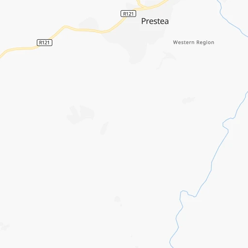
How to get from Prestea (Western) to Wa (Upper West)
Calculate route from Prestea (Western, Ghana) to Wa (Upper West, Ghana).
The flight distance (as the crow flies) between Prestea and Wa is 515.8 km.
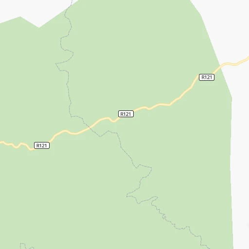
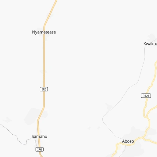
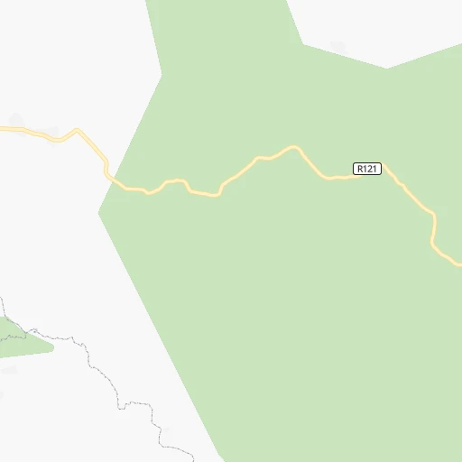
Roadmap (route) to go from Prestea to Wa detailed above, you can also see the course layout on the map.
While doing trip Prestea - Wa by car, the calculated route ends at a distance , or more straight.
Distance and duration of the route between Prestea and Wa
Calculation of distance and route from Wa to Prestea :
515.8631.3 km9h16mn
Continue 0h0mn 85 mTurn right 0h0mn 4 mTurn left 0h1mn 424 mTurn left 0h0mn 84 mTurn right 0h0mn 144 mTurn left 0h0mn 53 mTurn right onto R121 0h21mn 21.1 kmKeep left onto IR6 0h0mn 30 mTurn left onto IR6 2h8mn 140.3 kmContinue onto Bekwai Road 0h21mn 24.8 kmAt roundabout, take exit 3 onto Santasi Roundabout 0h5mn 5.6 kmAt roundabout, take exit 4 onto Suame Roundabout 0h7mn 8.4 kmContinue onto Kumasi - Techiman 2h35mn 109.2 kmAt roundabout, take exit 2 0h20mn 22.5 kmTurn slight left onto N12 0h7mn 7.6 kmAt roundabout, take exit 2 onto N12 4h9mn 290.5 kmTurn left onto Kuhnateh Link 0h0mn 206 mTurn right 0h1mn 262 mArrive at destination 0h0mn 0 m
Travel from Prestea (Upper West) to a selection of major cities.
Distances from Prestea to biggest cities in Western
Other major cities in country :
Route from Wa to major cities (Ghana).
- Distance Wa Accra562 km
- Distance Wa Kumasi388 km
- Distance Wa Tamale197 km
- Distance Wa Takoradi580 km
- Distance Wa Atsiaman542 km
- Distance Wa Tema560 km
- Distance Wa Teshi Old Town564 km
- Distance Wa Cape Coast569 km
- Distance Wa Sekondi-Takoradi577 km
- Distance Wa Obuase439 km
- Distance Wa Medina Estates553 km
- Distance Wa Koforidua506 km
- Distance Wa Japekrom278 km
- Distance Wa Ejura323 km
- Distance Wa Nungua564 km
- Distance Wa Sunyani303 km
- Distance Wa Ho506 km
- Distance Wa Techiman283 km
- Distance Wa Aflao598 km
- Distance Wa Berekum290 km
Nearest cities to Prestea :
- Accra, 1,963,264 inhabitants. 216 km
- Kumasi, 1,468,609 inhabitants. 151 km
- Takoradi, 232,919 inhabitants. 73 km
- Atsiaman, 202,932 inhabitants. 203 km
- Tema, 155,782 inhabitants. 237 km
- Teshi Old Town, 144,013 inhabitants. 226 km
- Cape Coast, 143,015 inhabitants. 106 km
- Sekondi-Takoradi, 138,872 inhabitants. 71 km
- Obuase, 137,856 inhabitants. 101 km
- Medina Estates, 101,207 inhabitants. 221 km
- Koforidua, 96,266 inhabitants. 221 km
- Japekrom, 96,000 inhabitants. 249 km
- Ejura, 70,807 inhabitants. 234 km
- Nungua, 70,483 inhabitants. 230 km
- Sunyani, 70,299 inhabitants. 213 km
- Ho, 69,998 inhabitants. 317 km
- Techiman, 69,720 inhabitants. 241 km
- Berekum, 62,364 inhabitants. 230 km
- Nkawkaw, 61,785 inhabitants. 197 km
- Akim Oda, 60,604 inhabitants. 139 km
- Hohoe, 56,202 inhabitants. 347 km
- Tafo, 50,457 inhabitants. 156 km
- Swedru, 50,293 inhabitants. 160 km
- Suhum, 49,398 inhabitants. 199 km
- Dome, 47,260 inhabitants. 213 km
- Kintampo, 47,185 inhabitants. 296 km
- Gbawe, 44,645 inhabitants. 204 km
- Nsawam, 44,522 inhabitants. 203 km
- Winneba, 44,254 inhabitants. 169 km
- Kasoa, 44,227 inhabitants. 192 km
- Mampong, 42,037 inhabitants. 199 km
- Konongo, 41,238 inhabitants. 167 km
- Asamankese, 39,435 inhabitants. 171 km
- Prestea, 35,155 inhabitants. 0 km
- Tarkwa, 34,941 inhabitants. 22 km
- Dunkwa, 33,379 inhabitants. 71 km
- Agogo, 31,554 inhabitants. 192 km
- Wenchi, 31,411 inhabitants. 257 km
- Begoro, 29,516 inhabitants. 222 km
- Kpandu, 28,334 inhabitants. 321 km
- Elmina, 25,560 inhabitants. 96 km
- Saltpond, 24,689 inhabitants. 123 km
- Axim, 24,500 inhabitants. 64 km
- Akwatia, 23,766 inhabitants. 163 km
- Shama Junction, 20,946 inhabitants. 70 km
- Apam, 20,147 inhabitants. 157 km
- Foso, 20,078 inhabitants. 99 km
- Bibiani, 19,076 inhabitants. 116 km
- Aburi, 18,399 inhabitants. 223 km
- Duayaw Nkwanta, 17,000 inhabitants. 194 km
Location Prestea (Western) :
| Country flag |  |
| Location | Prestea |
| State | Western |
| County | |
| Country | Ghana |
| Country code / ISO 2 | GH |
| Latitude | 5.4327400 |
| Longitude | -2.1428400 |
| Altitude | 0 meters |
| Time zone | Africa/Accra |
Location Wa (Upper West) :
| Country flag | |
| Location | Wa |
| State | Upper West |
| County | |
| Country | Ghana |
| Country code / ISO 2 | GH |
| Latitude | 10.0606900 |
| Longitude | -2.5019200 |
| Altitude | 0 meters |
| Time zone | Africa/Accra |