
How to get from Ferkessédougou (Savanes) to Bongouanou (Lacs)
Calculate route from Ferkessédougou (Savanes, Ivory Coast) to Bongouanou (Lacs, Ivory Coast).
The flight distance (as the crow flies) between Ferkessédougou and Bongouanou is 344.5 km.
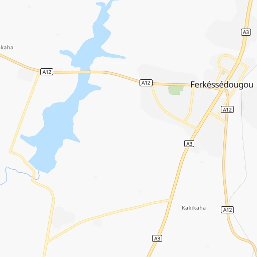
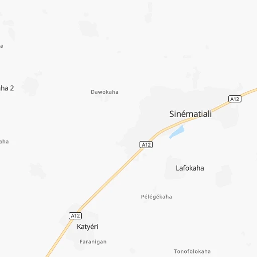
Roadmap (route) to go from Ferkessédougou to Bongouanou detailed above, you can also see the course layout on the map.
While doing trip Ferkessédougou - Bongouanou by car, the calculated route ends at a distance , or more straight.
Distance and duration of the route between Ferkessédougou and Bongouanou
Calculation of distance and route from Bongouanou to Ferkessédougou :
344.5441.6 km7h36mn
Continue 0h1mn 253 mTurn left onto A3 0h0mn 163 mTurn right onto A12 0h0mn 13 mTurn left onto A3 3h16mn 228.7 kmTurn left 0h1mn 635 mTurn sharp left onto Rue du camp militaire 0h0mn 201 mTurn right onto A8 0h2mn 1.7 kmTurn left onto A8 1h16mn 83.9 kmTurn right 0h2mn 998 mTurn right onto A8 0h20mn 21.5 kmTurn left 0h1mn 1.1 kmTurn right 1h33mn 32.9 kmAt roundabout, take exit 1 0h2mn 1.9 kmAt roundabout, take exit 2 0h8mn 8.2 kmTurn right 0h5mn 3.9 kmTurn right onto A8 1h50mn 55.3 kmTurn right 0h0mn 130 mTurn left 0h0mn 150 mArrive at destination 0h0mn 0 m
Travel from Ferkessédougou (Lacs) to a selection of major cities.
Distances from Ferkessédougou to biggest cities in Savanes
Other major cities in country :
Route from Bongouanou to major cities (Ivory Coast).
- Distance Bongouanou Abidjan151 km
- Distance Bongouanou Abobo139 km
- Distance Bongouanou Bouake148 km
- Distance Bongouanou Daloa250 km
- Distance Bongouanou San-Pedro343 km
- Distance Bongouanou Korhogo350 km
- Distance Bongouanou Man380 km
- Distance Bongouanou Divo157 km
- Distance Bongouanou Gagnoa202 km
- Distance Bongouanou Abengourou79 km
- Distance Bongouanou Anyama130 km
- Distance Bongouanou Agboville81 km
- Distance Bongouanou Grand-Bassam168 km
- Distance Bongouanou Dabou149 km
- Distance Bongouanou Ferkessedougou345 km
- Distance Bongouanou Adzope71 km
- Distance Bongouanou Bouafle174 km
- Distance Bongouanou Sinfra189 km
- Distance Bongouanou Katiola193 km
- Distance Bongouanou Bondoukou219 km
Nearest cities to Ferkessédougou :
- Bouake, 567,481 inhabitants. 212 km
- Daloa, 215,652 inhabitants. 332 km
- Yamoussoukro, 194,530 inhabitants. 309 km
- Korhogo, 167,359 inhabitants. 50 km
- Man, 139,341 inhabitants. 355 km
- Abengourou, 104,020 inhabitants. 370 km
- Dimbokro, 67,349 inhabitants. 332 km
- Ferkessedougou, 62,008 inhabitants. 0 km
- Bouafle, 60,962 inhabitants. 296 km
- Sinfra, 59,919 inhabitants. 340 km
- Katiola, 59,641 inhabitants. 162 km
- Bondoukou, 58,297 inhabitants. 315 km
- Danane, 53,808 inhabitants. 417 km
- Seguela, 51,157 inhabitants. 244 km
- Odienne, 49,857 inhabitants. 260 km
- Duekoue, 47,198 inhabitants. 396 km
- Agnibilekrou, 43,061 inhabitants. 351 km
- Daoukro, 40,175 inhabitants. 313 km
- Tengrela, 39,277 inhabitants. 166 km
- Boundiali, 38,878 inhabitants. 142 km
- Arrah, 37,432 inhabitants. 352 km
- Zuenoula, 34,435 inhabitants. 259 km
- Bongouanou, 34,405 inhabitants. 345 km
- Vavoua, 31,250 inhabitants. 284 km
- Touba, 27,504 inhabitants. 310 km
- Bouna, 23,570 inhabitants. 244 km
- Beoumi, 23,053 inhabitants. 218 km
- Biankouma, 22,868 inhabitants. 337 km
- Tanda, 20,161 inhabitants. 299 km
- Mankono, 19,095 inhabitants. 203 km
- Bangolo, 17,712 inhabitants. 382 km
- Sakassou, 15,068 inhabitants. 238 km
- Dabakala, 13,717 inhabitants. 161 km
- Botro, 13,375 inhabitants. 194 km
- Bocanda, 13,079 inhabitants. 292 km
Location Ferkessédougou (Savanes) :
| Country flag |  |
| Location | Ferkessédougou |
| State | Savanes |
| County | |
| Country | Ivory Coast |
| Country code / ISO 2 | CI |
| Latitude | 9.5928000 |
| Longitude | -5.1944900 |
| Altitude | 0 meters |
| Time zone | Africa/Abidjan |
Location Bongouanou (Lacs) :
| Country flag | |
| Location | Bongouanou |
| State | Lacs |
| County | |
| Country | Ivory Coast |
| Country code / ISO 2 | CI |
| Latitude | 6.6517500 |
| Longitude | -4.2040600 |
| Altitude | 0 meters |
| Time zone | Africa/Abidjan |