

How to get from Macdonaldtown Station (New South Wales) to Wahroonga (New South Wales)
Calculate route from Macdonaldtown Station (New South Wales, Australia) to Wahroonga (New South Wales, Australia).
The flight distance (as the crow flies) between Macdonaldtown Station and Wahroonga is 20.9 km.
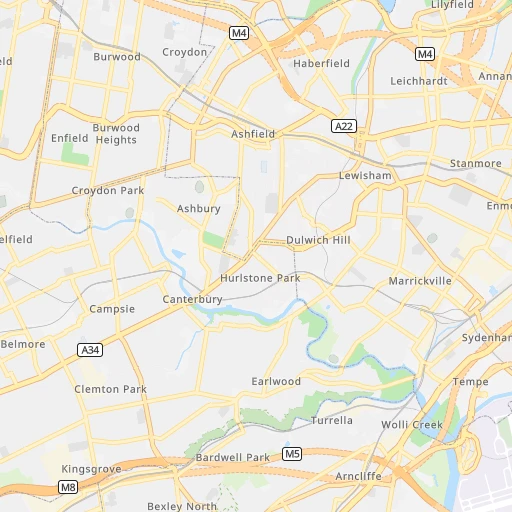
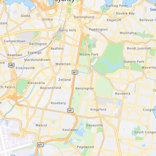
Roadmap (route) to go from Macdonaldtown Station to Wahroonga detailed above, you can also see the course layout on the map.
While doing trip Macdonaldtown Station - Wahroonga by car, the calculated route ends at a distance , or more straight.
Distance and duration of the route between Macdonaldtown Station and Wahroonga
Calculation of distance and route from Wahroonga to Macdonaldtown Station :
20.925.3 km0h30mn
Continue onto Lemington Lane 0h0mn 25 mTurn left onto Pine Street 0h0mn 150 mTurn right onto Wilson Street 0h0mn 217 mTurn left onto Queen Street 0h0mn 247 mTurn right onto King Street 0h2mn 1.2 kmTurn right onto Broadway 0h0mn 12 mTurn left onto Bay Street 0h1mn 281 mAt roundabout, take exit 2 onto Bay Street 0h1mn 272 mTurn right onto Wentworth Park Road 0h0mn 422 mContinue onto Pier Street 0h0mn 386 mKeep left onto Pier Street 0h1mn 502 mKeep left onto Harbour Street 0h0mn 384 mKeep right onto Western Distributor Onramp 0h3mn 2.9 kmKeep left onto Warringah Freeway and drive toward Crows Nest, North Sydney, Kirribilli 0h0mn 371 mKeep right onto Arthur Street 0h0mn 94 mKeep left onto Pacific Highway 0h1mn 649 mContinue onto Pacific Highway 0h2mn 2.0 kmTurn right onto Herbert Street 0h2mn 1.3 kmAt roundabout, take exit 2 onto Hampden Road 0h1mn 826 mAt roundabout, take exit 1 onto Hampden Road 0h0mn 380 mTurn left onto Mowbray Road 0h0mn 157 mTurn right onto Pacific Highway 0h14mn 12.4 kmTurn right onto Ada Avenue 0h0mn 162 mArrive at destination 0h0mn 0 m
Travel from Macdonaldtown Station (New South Wales) to a selection of major cities.
Distances from Macdonaldtown Station to biggest cities in New South Wales
- Kellyville,27,971 inhabitants.30 km
- Port Stephens,27,531 inhabitants.155 km
- Banora Point,27,368 inhabitants.671 km
- Maroubra,26,538 inhabitants.7 km
- Coffs Harbour,26,353 inhabitants.440 km
- Mosman,26,236 inhabitants.8 km
- Randwick,25,819 inhabitants.6 km
- Strathfield,25,813 inhabitants.10 km
- Quakers Hill,25,017 inhabitants.33 km
- Campsie,24,541 inhabitants.8 km
- Marrickville,23,161 inhabitants.3 km
- Granville,22,889 inhabitants.17 km
- Armidale,22,673 inhabitants.381 km
- Ashfield,22,000 inhabitants.6 km
- Cabramatta,21,783 inhabitants.23 km
- Greystanes,21,703 inhabitants.24 km
- Carlingford,21,364 inhabitants.18 km
- Liverpool,21,317 inhabitants.24 km
- Caringbah,21,283 inhabitants.18 km
- Goulburn,20,940 inhabitants.165 km
Other major cities in country :
- Bunbury [08], 68,248 inhabitants. 3,279 km
- Armadale [08], 62,296 inhabitants. 3,273 km
- Rockhampton [04], 61,724 inhabitants. 1,173 km
- Adelaide Hills [05], 60,394 inhabitants. 1,151 km
- South Brisbane [04], 60,000 inhabitants. 736 km
Route from Wahroonga to major cities (Australia).
- Distance Wahroonga Melbourne719 km
- Distance Wahroonga Brisbane719 km
- Distance Wahroonga Perth3,287 km
- Distance Wahroonga Adelaide1,158 km
- Distance Wahroonga Gold Coast674 km
- Distance Wahroonga Canberra252 km
- Distance Wahroonga Logan City703 km
- Distance Wahroonga Geelong783 km
- Distance Wahroonga Hobart1,072 km
- Distance Wahroonga Townsville1,665 km
- Distance Wahroonga Cairns1,945 km
- Distance Wahroonga Toowoomba690 km
- Distance Wahroonga Darwin3,135 km
- Distance Wahroonga Rockingham3,291 km
- Distance Wahroonga Launceston928 km
- Distance Wahroonga Bendigo707 km
- Distance Wahroonga Ballarat784 km
- Distance Wahroonga Mandurah3,286 km
- Distance Wahroonga Mackay1,412 km
- Distance Wahroonga Bundaberg993 km
Nearest cities to Macdonaldtown Station :
- Sydney, 4,627,345 inhabitants. 4 km
- Canberra, 367,752 inhabitants. 244 km
- Newcastle, 308,308 inhabitants. 121 km
- Wollongong, 292,190 inhabitants. 65 km
- Maitland, 67,132 inhabitants. 134 km
- Tamworth, 47,597 inhabitants. 313 km
- Port Macquarie, 41,491 inhabitants. 318 km
- Queanbeyan, 40,661 inhabitants. 242 km
- Orange, 39,329 inhabitants. 205 km
- Blacktown, 39,000 inhabitants. 29 km
- Castle Hill, 35,389 inhabitants. 25 km
- Nowra, 34,479 inhabitants. 122 km
- Baulkham Hills, 33,945 inhabitants. 24 km
- Auburn, 33,122 inhabitants. 15 km
- Bathurst, 33,110 inhabitants. 158 km
- Dubbo, 32,327 inhabitants. 303 km
- Bankstown, 30,572 inhabitants. 14 km
- Hurstville, 29,822 inhabitants. 11 km
- Kellyville, 27,971 inhabitants. 30 km
- Port Stephens, 27,531 inhabitants. 155 km
- Maroubra, 26,538 inhabitants. 7 km
- Mosman, 26,236 inhabitants. 8 km
- Randwick, 25,819 inhabitants. 6 km
- Strathfield, 25,813 inhabitants. 10 km
- Quakers Hill, 25,017 inhabitants. 33 km
- Campsie, 24,541 inhabitants. 8 km
- Marrickville, 23,161 inhabitants. 3 km
- Granville, 22,889 inhabitants. 17 km
- Ashfield, 22,000 inhabitants. 6 km
- Cabramatta, 21,783 inhabitants. 23 km
- Greystanes, 21,703 inhabitants. 24 km
- Carlingford, 21,364 inhabitants. 18 km
- Liverpool, 21,317 inhabitants. 24 km
- Caringbah, 21,283 inhabitants. 18 km
- Goulburn, 20,940 inhabitants. 165 km
- Punchbowl, 20,236 inhabitants. 13 km
- Hornsby, 19,863 inhabitants. 23 km
- St Clair, 19,837 inhabitants. 39 km
- Glenmore Park, 19,200 inhabitants. 49 km
- Epping, 18,969 inhabitants. 17 km
- Cherrybrook, 18,778 inhabitants. 23 km
- Katoomba, 18,593 inhabitants. 84 km
- Parramatta, 18,448 inhabitants. 19 km
- Fairfield, 18,081 inhabitants. 22 km
- Engadine, 17,937 inhabitants. 25 km
- Eastwood, 17,865 inhabitants. 15 km
- Forster, 17,591 inhabitants. 228 km
- Dee Why, 17,463 inhabitants. 19 km
- Wahroonga, 17,371 inhabitants. 21 km
- North Ryde, 17,208 inhabitants. 13 km
Location Macdonaldtown Station (New South Wales) :
| Country flag |  |
| Location | Macdonaldtown Station |
| State | New South Wales |
| County | City of Sydney |
| Country | Australia |
| Country code / ISO 2 | AU |
| Latitude | -33.8969200 |
| Longitude | 151.1861200 |
| Altitude | 0 meters |
| Time zone | Australia/Sydney |
Location Wahroonga (New South Wales) :
| Country flag | |
| Location | Wahroonga |
| State | New South Wales |
| County | City of Sydney |
| Country | Australia |
| Country code / ISO 2 | AU |
| Latitude | -33.7181600 |
| Longitude | 151.1156100 |
| Altitude | 0 meters |
| Time zone | Australia/Sydney |


