
How to get from Taesin-yŏk (Hamgyŏng-namdo) to Puryŏng (Hamgyŏng-bukto)
Calculate route from Taesin-yŏk (Hamgyŏng-namdo, North Korea) to Puryŏng (Hamgyŏng-bukto, North Korea).
The flight distance (as the crow flies) between Taesin-yŏk and Puryŏng is 136.6 km.
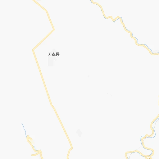
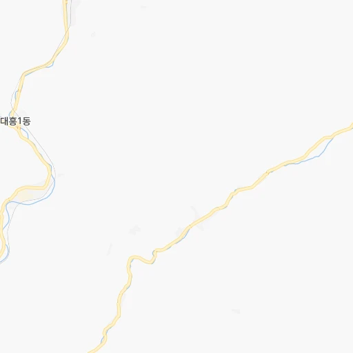
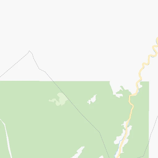
Roadmap (route) to go from Taesin-yŏk to Puryŏng detailed above, you can also see the course layout on the map.
While doing trip Taesin-yŏk - Puryŏng by car, the calculated route ends at a distance , or more straight.
Distance and duration of the route between Taesin-yŏk and Puryŏng
Calculation of distance and route from Puryŏng to Taesin-yŏk :
136.6234.7 km4h29mn
Continue 0h1mn 369 mTurn right 0h0mn 103 mTurn sharp right 0h22mn 11.1 kmKeep left 0h5mn 2.4 kmTurn left 0h16mn 12.3 kmTurn right 0h13mn 10.8 kmTurn slight left 0h29mn 29.4 kmTurn left onto AH6 1h60mn 50.2 kmTurn left 0h7mn 3.5 kmTurn right 0h1mn 625 mKeep left 0h5mn 4.2 kmTurn left 0h5mn 3.9 kmTurn left 0h5mn 4.4 kmTurn left onto AH6 0h16mn 18.8 kmContinue 0h11mn 9.1 kmTurn left 0h10mn 8.4 kmTurn right onto AH6 0h24mn 27.6 kmTurn left 0h11mn 9.3 kmTurn right 0h0mn 90 mKeep left 0h0mn 210 mTurn left 0h5mn 2.4 kmTurn left 0h23mn 25.6 kmTurn left 0h0mn 113 mArrive at destination 0h0mn 0 m
Travel from Taesin-yŏk (Hamgyŏng-bukto) to a selection of major cities.
Distances from Taesin-yŏk to biggest cities in Hamgyŏng-namdo
Other major cities in country :
Route from Puryŏng to major cities (North Korea).
- Distance Puryŏng Pyongyang475 km
- Distance Puryŏng Hamhung300 km
- Distance Puryŏng Namp'o519 km
- Distance Puryŏng Sunch'on433 km
- Distance Puryŏng Hungnam304 km
- Distance Puryŏng Kaesong529 km
- Distance Puryŏng Wonsan376 km
- Distance Puryŏng Sariwon519 km
- Distance Puryŏng Sinuiju496 km
- Distance Puryŏng Haeju562 km
- Distance Puryŏng Kanggye287 km
- Distance Puryŏng Hyesan147 km
- Distance Puryŏng Songnim504 km
- Distance Puryŏng Manp'o302 km
- Distance Puryŏng P'yongsong451 km
- Distance Puryŏng Hyesan-dong147 km
- Distance Puryŏng Yuktae-dong261 km
- Distance Puryŏng Hongwon270 km
- Distance Puryŏng Rajin53 km
- Distance Puryŏng Ongjin590 km
Nearest cities to Taesin-yŏk :
- Hamhung, 559,056 inhabitants. 165 km
- Sunch'on, 437,000 inhabitants. 304 km
- Hungnam, 346,082 inhabitants. 168 km
- Wonsan, 329,207 inhabitants. 239 km
- Chongjin, 327,000 inhabitants. 116 km
- Kanggye, 209,530 inhabitants. 191 km
- Hyesan, 192,680 inhabitants. 72 km
- Manp'o, 116,760 inhabitants. 216 km
- P'yongsong, 100,000 inhabitants. 321 km
- Hyesan-dong, 97,794 inhabitants. 71 km
- Yuktae-dong, 76,427 inhabitants. 125 km
- Hongwon, 70,923 inhabitants. 134 km
- Rajin, 66,224 inhabitants. 183 km
- Kilju, 63,652 inhabitants. 40 km
- Hoeryong, 43,831 inhabitants. 176 km
- Sungho 1-tong, 39,841 inhabitants. 333 km
- Kyongsong, 35,604 inhabitants. 90 km
- Aoji-ri, 34,248 inhabitants. 211 km
- Nanam, 34,055 inhabitants. 104 km
- Anbyon-up, 31,845 inhabitants. 247 km
- Kangdong-up, 28,922 inhabitants. 314 km
- Sonbong, 27,331 inhabitants. 196 km
- Iwon-up, 26,364 inhabitants. 78 km
- Kosan, 24,822 inhabitants. 269 km
- Namyang-dong, 22,218 inhabitants. 232 km
- Yonggwang-up, 21,882 inhabitants. 162 km
- Musan-up, 21,739 inhabitants. 138 km
- Kowon-up, 21,490 inhabitants. 222 km
- Hoeyang, 21,111 inhabitants. 278 km
- T'ongch'on-up, 20,575 inhabitants. 243 km
- Kapsan-up, 20,406 inhabitants. 48 km
- Onsong, 19,806 inhabitants. 236 km
- Kujang-up, 19,522 inhabitants. 271 km
- Samho-rodongjagu, 19,025 inhabitants. 145 km
- Sinmak, 18,669 inhabitants. 366 km
- Sinsang-ni, 14,960 inhabitants. 195 km
- Hau-ri, 13,581 inhabitants. 56 km
- Koksan, 12,923 inhabitants. 311 km
- Chasong, 12,736 inhabitants. 192 km
- Kyongwon, 12,650 inhabitants. 228 km
- Puryong, 12,267 inhabitants. 137 km
- Komusan 1-tong, 12,242 inhabitants. 141 km
- Sungjibaegam, 11,786 inhabitants. 26 km
- Hoemul-li, 11,681 inhabitants. 83 km
- Sungam-nodongjagu, 11,406 inhabitants. 100 km
- Sangsong-ni, 9,888 inhabitants. 265 km
- Ungsang-nodongjagu, 8,410 inhabitants. 201 km
Location Taesin-yŏk (Hamgyŏng-namdo) :
| Country flag |  |
| Location | Taesin-yŏk |
| State | Hamgyŏng-namdo |
| County | |
| Country | North Korea |
| Country code / ISO 2 | KP |
| Latitude | 41.0101400 |
| Longitude | 128.8582300 |
| Altitude | 0 meters |
| Time zone | Asia/Pyongyang |
Location Puryŏng (Hamgyŏng-bukto) :
| Country flag | |
| Location | Puryŏng |
| State | Hamgyŏng-bukto |
| County | |
| Country | North Korea |
| Country code / ISO 2 | KP |
| Latitude | 42.0605600 |
| Longitude | 129.7116700 |
| Altitude | 0 meters |
| Time zone | Asia/Pyongyang |