
How to get from Hikari (Yamaguchi) to Kure (Hiroshima)
Calculate route from Hikari (Yamaguchi, Japan) to Kure (Hiroshima, Japan).
The flight distance (as the crow flies) between Hikari and Kure is 64.6 km.
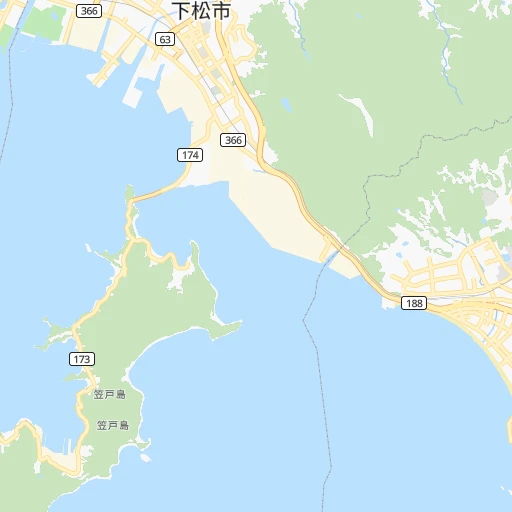
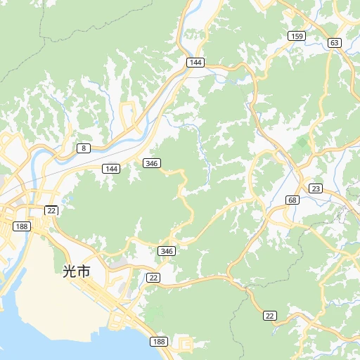
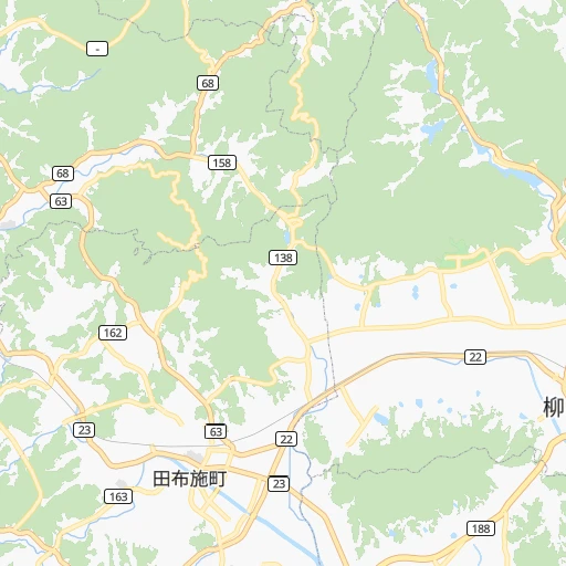
Roadmap (route) to go from Hikari to Kure detailed above, you can also see the course layout on the map.
While doing trip Hikari - Kure by car, the calculated route ends at a distance , or more straight.
Distance and duration of the route between Hikari and Kure
Calculation of distance and route from Kure to Hikari :
64.6103.0 km1h17mn
Continue 0h0mn 60 mTurn right 0h0mn 47 mTurn left 0h0mn 163 mTurn right 0h1mn 640 mTurn left onto 光柳井線 0h2mn 2.0 kmTurn right onto 光玖珂線 0h1mn 1.3 kmTurn left 0h0mn 131 mTurn slight left 0h1mn 455 mTurn right onto 徳山光線 0h7mn 7.2 kmTurn left onto 徳山光線 0h0mn 144 mTurn sharp left 0h1mn 750 mKeep left 0h29mn 47.8 kmKeep left onto 広島岩国道路 0h2mn 3.1 kmKeep left 0h0mn 110 mKeep right 0h6mn 8.6 kmKeep left 0h0mn 210 mTurn right 0h1mn 948 mTurn left 0h0mn 71 mTurn slight right 0h0mn 114 mTurn right 0h0mn 183 mTurn left 0h0mn 183 mTurn right 0h0mn 244 mTurn left 0h1mn 993 mKeep right 0h5mn 4.3 kmKeep left 0h1mn 713 mKeep right onto 広島南道路 0h3mn 3.5 kmKeep left 0h0mn 178 mKeep right 0h10mn 15.8 kmContinue 0h1mn 580 mContinue 0h0mn 84 mTurn left 0h0mn 20 mContinue 0h0mn 307 mTurn right 0h2mn 1.3 kmKeep left 0h0mn 35 mTurn left 0h0mn 161 mTurn slight left 0h0mn 92 mTurn right 0h0mn 159 mTurn left 0h0mn 59 mTurn right 0h1mn 301 mArrive at destination 0h0mn 0 m
Travel from Hikari (Hiroshima) to a selection of major cities.
Distances from Hikari to biggest cities in Yamaguchi
Other major cities in country :
- Hachioji [40], 579,399 inhabitants. 700 km
- Honcho [04], 560,743 inhabitants. 759 km
- Kagoshima [18], 555,352 inhabitants. 296 km
- Niigata [29], 505,272 inhabitants. 772 km
- Himeji [13], 481,493 inhabitants. 270 km
- Matsudo [04], 470,277 inhabitants. 754 km
- Nishinomiya-hama [13], 468,925 inhabitants. 322 km
- Kawaguchi [34], 468,565 inhabitants. 738 km
- Kanazawa [15], 458,937 inhabitants. 516 km
- Utsunomiya [38], 449,865 inhabitants. 777 km
- Oita [30], 448,907 inhabitants. 87 km
- Matsuyama [05], 443,322 inhabitants. 76 km
- Amagasaki [13], 442,173 inhabitants. 330 km
- Kurashiki [31], 437,581 inhabitants. 181 km
- Yokosuka [19], 428,992 inhabitants. 722 km
- Nagasaki [27], 410,204 inhabitants. 234 km
- Hirakata [32], 406,331 inhabitants. 353 km
- Machida [40], 399,969 inhabitants. 708 km
- Gifu-shi [09], 397,714 inhabitants. 470 km
- Fujisawa [19], 394,624 inhabitants. 706 km
Route from Kure to major cities (Japan).
- Distance Kure Tokyo670 km
- Distance Kure Yokohama661 km
- Distance Kure Osaka274 km
- Distance Kure Nagoya411 km
- Distance Kure Sapporo1,244 km
- Distance Kure Kobe246 km
- Distance Kure Kyoto305 km
- Distance Kure Fukuoka211 km
- Distance Kure Kawasaki668 km
- Distance Kure Saitama672 km
- Distance Kure Yono669 km
- Distance Kure Sendai869 km
- Distance Kure Kitakyushu164 km
- Distance Kure Chiba706 km
- Distance Kure Sakai269 km
- Distance Kure Shizuoka539 km
- Distance Kure Kumamoto236 km
- Distance Kure Okayama134 km
- Distance Kure Hamamatsu477 km
- Distance Kure Hachioji636 km
Nearest cities to Hikari :
- Fukuoka, 1,392,289 inhabitants. 147 km
- Hiroshima, 1,143,841 inhabitants. 68 km
- Kitakyushu, 997,536 inhabitants. 102 km
- Kumamoto, 680,423 inhabitants. 173 km
- Okayama, 639,652 inhabitants. 198 km
- Kagoshima, 555,352 inhabitants. 296 km
- Himeji, 481,493 inhabitants. 270 km
- Oita, 448,907 inhabitants. 87 km
- Matsuyama, 443,322 inhabitants. 76 km
- Kurashiki, 437,581 inhabitants. 181 km
- Nagasaki, 410,204 inhabitants. 234 km
- Fukuyama, 383,298 inhabitants. 143 km
- Kochi, 335,570 inhabitants. 153 km
- Takamatsu, 334,223 inhabitants. 198 km
- Miyazaki, 311,203 inhabitants. 232 km
- Kakogawacho-honmachi, 271,634 inhabitants. 280 km
- Tokushima, 267,345 inhabitants. 242 km
- Shimonoseki, 245,786 inhabitants. 92 km
- Kurume, 238,197 inhabitants. 151 km
- Sasebo, 237,444 inhabitants. 224 km
- Kure, 196,624 inhabitants. 65 km
- Ube, 173,733 inhabitants. 65 km
- Saga, 165,236 inhabitants. 173 km
- Matsue, 156,811 inhabitants. 198 km
- Tottori, 154,098 inhabitants. 271 km
- Yamaguchi, 145,515 inhabitants. 51 km
- Yonago, 141,368 inhabitants. 208 km
- Omuta, 131,974 inhabitants. 173 km
- Miyakonojo, 130,994 inhabitants. 261 km
- Beppu, 125,065 inhabitants. 86 km
- Niihama, 123,059 inhabitants. 125 km
- Nobeoka, 121,949 inhabitants. 155 km
- Hofu, 116,925 inhabitants. 37 km
- Honmachi, 104,341 inhabitants. 205 km
- Iwakuni, 104,004 inhabitants. 34 km
- Tokuyama, 101,133 inhabitants. 16 km
- Chikushino-shi, 100,353 inhabitants. 142 km
- Isahaya, 97,371 inhabitants. 216 km
- Onojo, 94,957 inhabitants. 144 km
- Onomichi, 90,936 inhabitants. 126 km
- Omura, 89,918 inhabitants. 218 km
- Tsuyama, 89,717 inhabitants. 224 km
- Izumo, 89,286 inhabitants. 174 km
- Kanoya, 82,335 inhabitants. 304 km
- Marugame, 82,090 inhabitants. 173 km
- Mihara, 80,387 inhabitants. 116 km
- Karatsu, 78,330 inhabitants. 192 km
- Iizuka, 78,206 inhabitants. 122 km
- Hatsukaichi, 77,341 inhabitants. 56 km
- Tsurusaki, 76,968 inhabitants. 83 km
Location Hikari (Yamaguchi) :
| Country flag |  |
| Location | Hikari |
| State | Yamaguchi |
| County | Hikari Shi |
| Country | Japan |
| Country code / ISO 2 | JP |
| Latitude | 33.9550000 |
| Longitude | 131.9500000 |
| Altitude | 0 meters |
| Time zone | Asia/Tokyo |
Location Kure (Hiroshima) :
| Country flag | |
| Location | Kure |
| State | Hiroshima |
| County | Kure-shi |
| Country | Japan |
| Country code / ISO 2 | JP |
| Latitude | 34.2322200 |
| Longitude | 132.5665800 |
| Altitude | 0 meters |
| Time zone | Asia/Tokyo |


