
How to get from Noryeongyeok (Jeollabuk-do) to Hwado (Gyeonggi-do)
Calculate route from Noryeongyeok (Jeollabuk-do, South Korea) to Hwado (Gyeonggi-do, South Korea).
The flight distance (as the crow flies) between Noryeongyeok and Hwado is 244.6 km.
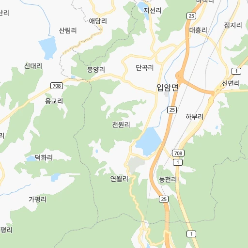
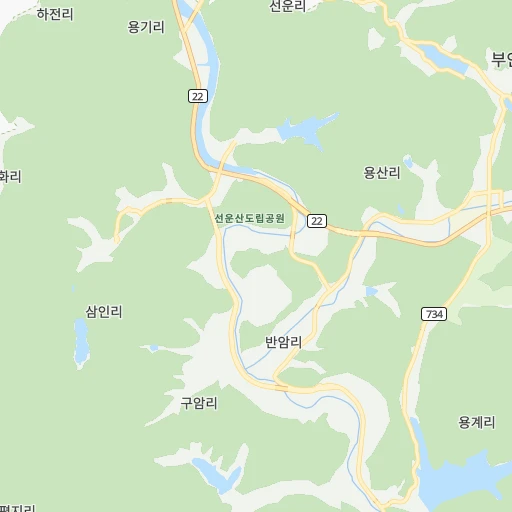
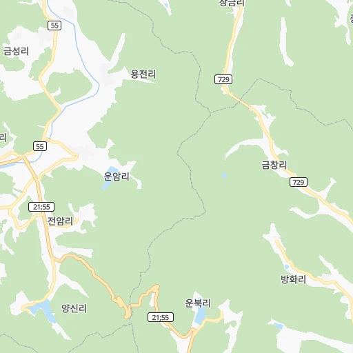
Roadmap (route) to go from Noryeongyeok to Hwado detailed above, you can also see the course layout on the map.
While doing trip Noryeongyeok - Hwado by car, the calculated route ends at a distance , or more straight.
Distance and duration of the route between Noryeongyeok and Hwado
Calculation of distance and route from Hwado to Noryeongyeok :
244.6275.4 km3h4mn
Continue onto 입암로 0h0mn 187 mTurn left onto 입암로 0h3mn 2.9 kmAt roundabout, take exit 3 onto 입암사거리 0h1mn 1.0 kmKeep right and take 25 toward 전주, 정읍 1h49mn 73.6 kmKeep right onto 논산천안고속도로 and take 25 toward 서울, 천안, 연무 1h50mn 82.0 kmKeep left and take 1 toward 서울 0h2mn 1.4 kmKeep left and take 1 toward 서울, 천안 1h46mn 73.3 kmKeep right and drive toward 일산, 구리 0h0mn 446 mKeep right and drive toward 구리, 성남 0h9mn 14.1 kmKeep right and take 180 toward 강동, 서하남, 한국도로공사 수도권본부, 동서울지사 0h1mn 804 mKeep right and drive toward 하남, 한국도로공사 수도권본부 0h1mn 525 mTurn left onto 감일중앙로 0h6mn 5.6 kmKeep right 0h0mn 115 mTurn slight right onto 아리수로 0h1mn 869 mTurn left onto 풍산로 0h1mn 415 mContinue onto 풍산로 0h0mn 67 mTurn right onto 미사강변북로 0h0mn 394 mTurn left onto 미사강변대로 0h1mn 706 mKeep right 0h4mn 5.8 kmKeep left onto 서울양양고속도로 0h5mn 7.7 kmKeep right and drive toward 수동, 화도 0h2mn 2.1 kmKeep right 0h0mn 281 mTurn right onto 수레로 0h0mn 177 mTurn right onto 창현로 0h1mn 920 mAt roundabout, take exit 1 onto 마석중앙로 0h0mn 88 mArrive at destination 0h0mn 0 m
Travel from Noryeongyeok (Gyeonggi-do) to a selection of major cities.
Distances from Noryeongyeok to biggest cities in Jeollabuk-do
Other major cities in country :
- Cheonan [17], 365,114 inhabitants. 150 km
- Kwangmyong [13], 357,545 inhabitants. 221 km
- Kimhae [20], 356,242 inhabitants. 191 km
- Chinju [20], 307,242 inhabitants. 121 km
- Yeosu [16], 295,538 inhabitants. 113 km
- Gumi [14], 291,006 inhabitants. 155 km
- Mokpo [16], 268,402 inhabitants. 84 km
- Wonju [06], 243,387 inhabitants. 231 km
- Suncheon [16], 230,796 inhabitants. 87 km
- Sejong [22], 230,327 inhabitants. 130 km
- Chuncheon [06], 209,746 inhabitants. 278 km
- Icheon-si [13], 196,230 inhabitants. 207 km
- Guri-si [13], 195,236 inhabitants. 237 km
- Gangneung [06], 180,611 inhabitants. 313 km
- Yangju [13], 179,923 inhabitants. 262 km
- Osan [13], 158,978 inhabitants. 187 km
- Seogwipo [01], 155,691 inhabitants. 250 km
- Gyeongju [14], 155,237 inhabitants. 222 km
- Gimcheon [14], 150,000 inhabitants. 138 km
- Hanam [13], 134,902 inhabitants. 231 km
Route from Hwado to major cities (South Korea).
- Distance Hwado Seoul31 km
- Distance Hwado Busan324 km
- Distance Hwado Incheon57 km
- Distance Hwado Daegu229 km
- Distance Hwado Daejeon149 km
- Distance Hwado Gwangju280 km
- Distance Hwado Ulsan296 km
- Distance Hwado Jeonju204 km
- Distance Hwado Cheongju-si114 km
- Distance Hwado Changwon297 km
- Distance Hwado Pohang257 km
- Distance Hwado Masan284 km
- Distance Hwado Jeju City467 km
- Distance Hwado Cheonan95 km
- Distance Hwado Kimhae304 km
- Distance Hwado Chinju283 km
- Distance Hwado Yeosu323 km
- Distance Hwado Gumi194 km
- Distance Hwado Iksan193 km
- Distance Hwado Mokpo327 km
Nearest cities to Noryeongyeok :
- Seoul, 10,349,312 inhabitants. 232 km
- Busan, 3,678,555 inhabitants. 208 km
- Incheon, 2,628,000 inhabitants. 219 km
- Daegu, 2,566,540 inhabitants. 167 km
- Daejeon, 1,475,221 inhabitants. 108 km
- Gwangju, 1,416,938 inhabitants. 39 km
- Suwon, 1,242,724 inhabitants. 201 km
- Goyang-si, 1,073,069 inhabitants. 241 km
- Seongnam-si, 1,031,935 inhabitants. 219 km
- Ulsan, 962,865 inhabitants. 228 km
- Bucheon-si, 850,731 inhabitants. 224 km
- Jeonju, 711,424 inhabitants. 49 km
- Ansan-si, 650,728 inhabitants. 204 km
- Cheongju-si, 634,596 inhabitants. 142 km
- Anyang-si, 634,367 inhabitants. 212 km
- Changwon, 550,000 inhabitants. 173 km
- Pohang, 500,000 inhabitants. 239 km
- Uijeongbu-si, 479,141 inhabitants. 252 km
- Hwaseong-si, 476,297 inhabitants. 191 km
- Masan, 434,371 inhabitants. 40 km
- Jeju City, 408,364 inhabitants. 222 km
- Cheonan, 365,114 inhabitants. 150 km
- Kwangmyong, 357,545 inhabitants. 221 km
- Kimhae, 356,242 inhabitants. 191 km
- Chinju, 307,242 inhabitants. 121 km
- Yeosu, 295,538 inhabitants. 113 km
- Gumi, 291,006 inhabitants. 155 km
- Iksan, 283,501 inhabitants. 52 km
- Mokpo, 268,402 inhabitants. 84 km
- Gunsan, 243,406 inhabitants. 55 km
- Wonju, 243,387 inhabitants. 231 km
- Suncheon, 230,796 inhabitants. 87 km
- Sejong, 230,327 inhabitants. 130 km
- Chuncheon, 209,746 inhabitants. 278 km
- Icheon-si, 196,230 inhabitants. 207 km
- Guri-si, 195,236 inhabitants. 237 km
- Gangneung, 180,611 inhabitants. 313 km
- Yangju, 179,923 inhabitants. 262 km
- Osan, 158,978 inhabitants. 187 km
- Seogwipo, 155,691 inhabitants. 250 km
- Gyeongju, 155,237 inhabitants. 222 km
- Gimcheon, 150,000 inhabitants. 138 km
- Jeongeup, 139,876 inhabitants. 16 km
- Hanam, 134,902 inhabitants. 231 km
- Gyeongsan-si, 129,903 inhabitants. 179 km
- Andong, 129,319 inhabitants. 211 km
- Hwado, 106,358 inhabitants. 245 km
- Tonghae, 101,128 inhabitants. 308 km
- Asan, 97,749 inhabitants. 145 km
- Wabu, 96,775 inhabitants. 237 km
Location Noryeongyeok (Jeollabuk-do) :
| Country flag |  |
| Location | Noryeongyeok |
| State | Jeollabuk-do |
| County | |
| Country | South Korea |
| Country code / ISO 2 | KR |
| Latitude | 35.4896900 |
| Longitude | 126.8003300 |
| Altitude | 0 meters |
| Time zone | Asia/Seoul |
Location Hwado (Gyeonggi-do) :
| Country flag | |
| Location | Hwado |
| State | Gyeonggi-do |
| County | |
| Country | South Korea |
| Country code / ISO 2 | KR |
| Latitude | 37.6525000 |
| Longitude | 127.3075000 |
| Altitude | 0 meters |
| Time zone | Asia/Seoul |
