
How to get from Cheonwonyeok (Jeollabuk-do) to Andong (Gyeongsangbuk-do)
Calculate route from Cheonwonyeok (Jeollabuk-do, South Korea) to Andong (Gyeongsangbuk-do, South Korea).
The flight distance (as the crow flies) between Cheonwonyeok and Andong is 206.5 km.
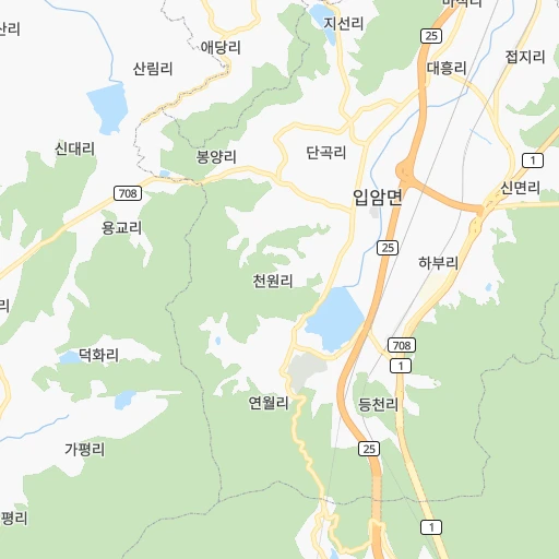
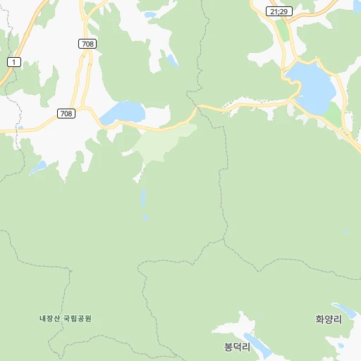
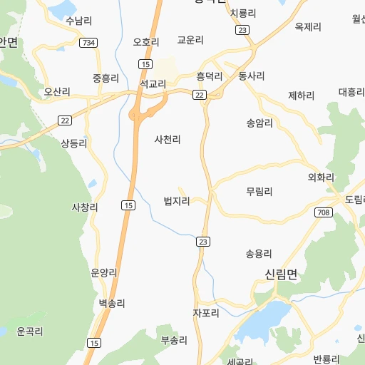
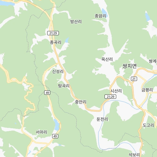
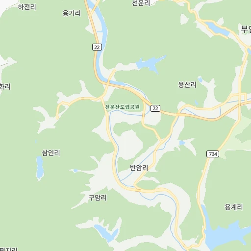
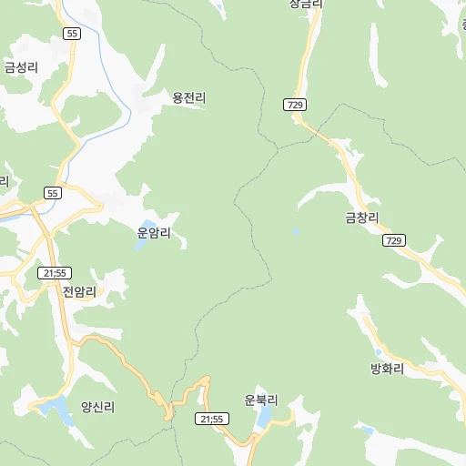
Roadmap (route) to go from Cheonwonyeok to Andong detailed above, you can also see the course layout on the map.
While doing trip Cheonwonyeok - Andong by car, the calculated route ends at a distance , or more straight.
Distance and duration of the route between Cheonwonyeok and Andong
Calculation of distance and route from Andong to Cheonwonyeok :
206.5262.9 km3h26mn
Continue onto 면접길 0h3mn 2.7 kmTurn slight right onto 정읍남로 0h1mn 705 mTurn left onto 서부산업도로 0h2mn 2.4 kmTurn left onto 벚꽃로 0h1mn 545 mAt roundabout, take exit 2 onto 천변로 0h1mn 857 mKeep right and take 25 toward 전주, 태인 1h31mn 46.6 kmKeep right and drive toward 왕궁, 삼례 0h1mn 1.1 kmTurn left onto 삼봉로 0h9mn 8.2 kmAt roundabout, take exit 1 onto 삼봉로 0h0mn 302 mKeep left 0h19mn 21.5 kmKeep right 0h14mn 15.5 kmAt roundabout, take exit 2 onto 대둔산로 0h4mn 3.9 kmKeep right onto 복수로 0h0mn 323 mKeep right onto 다복로 0h7mn 7.8 kmTurn right onto 마전로 0h0mn 192 mTurn left onto 하마전로 0h1mn 676 mTurn right 0h0mn 31 mTurn left onto 서대산로 0h1mn 726 mAt roundabout, take exit 3 onto 서대산로 0h1mn 629 mTurn right 0h0mn 105 mTurn left 0h1mn 1.4 kmKeep right onto 37 1h33mn 37.4 kmKeep right 0h0mn 354 mKeep left 0h1mn 855 mKeep left 0h0mn 154 mKeep right and drive toward 상주, 속리산 1h32mn 53.1 kmKeep right onto 서산영덕고속도로 0h21mn 32.7 kmKeep right and take 55 toward 원주, 대구 0h0mn 267 mKeep left and take 55 toward 원주 0h4mn 5.1 kmKeep right and take 914 toward 남안동 0h1mn 721 mContinue onto 중앙고속도로 0h3mn 3.0 kmTurn left 0h1mn 438 mTurn right 0h0mn 36 mTurn left 0h0mn 224 mKeep left 0h8mn 9.0 kmContinue 0h0mn 44 mContinue onto 강남로 0h2mn 1.7 kmKeep left onto 제비원로 0h1mn 1.5 kmTurn right onto 대안로 0h0mn 97 mTurn left onto 광석1길 0h0mn 157 mArrive at destination 0h0mn 0 m
Travel from Cheonwonyeok (Gyeongsangbuk-do) to a selection of major cities.
Distances from Cheonwonyeok to biggest cities in Jeollabuk-do
Other major cities in country :
- Cheonan [17], 365,114 inhabitants. 146 km
- Kwangmyong [13], 357,545 inhabitants. 217 km
- Kimhae [20], 356,242 inhabitants. 190 km
- Chinju [20], 307,242 inhabitants. 121 km
- Yeosu [16], 295,538 inhabitants. 115 km
- Gumi [14], 291,006 inhabitants. 152 km
- Mokpo [16], 268,402 inhabitants. 88 km
- Wonju [06], 243,387 inhabitants. 227 km
- Suncheon [16], 230,796 inhabitants. 88 km
- Sejong [22], 230,327 inhabitants. 126 km
- Chuncheon [06], 209,746 inhabitants. 274 km
- Icheon-si [13], 196,230 inhabitants. 203 km
- Guri-si [13], 195,236 inhabitants. 233 km
- Gangneung [06], 180,611 inhabitants. 308 km
- Yangju [13], 179,923 inhabitants. 258 km
- Osan [13], 158,978 inhabitants. 183 km
- Seogwipo [01], 155,691 inhabitants. 254 km
- Gyeongju [14], 155,237 inhabitants. 219 km
- Gimcheon [14], 150,000 inhabitants. 135 km
- Hanam [13], 134,902 inhabitants. 227 km
Route from Andong to major cities (South Korea).
- Distance Andong Seoul191 km
- Distance Andong Busan165 km
- Distance Andong Incheon205 km
- Distance Andong Daegu78 km
- Distance Andong Daejeon120 km
- Distance Andong Gwangju226 km
- Distance Andong Suwon173 km
- Distance Andong Goyang-si207 km
- Distance Andong Seongnam-si171 km
- Distance Andong Ulsan126 km
- Distance Andong Bucheon-si201 km
- Distance Andong Jeonju164 km
- Distance Andong Ansan-si189 km
- Distance Andong Cheongju-si110 km
- Distance Andong Anyang-si184 km
- Distance Andong Changwon149 km
- Distance Andong Uijeongbu-si198 km
- Distance Andong Hwaseong-si184 km
- Distance Andong Masan234 km
- Distance Andong Jeju City395 km
Nearest cities to Cheonwonyeok :
- Seoul, 10,349,312 inhabitants. 228 km
- Busan, 3,678,555 inhabitants. 207 km
- Incheon, 2,628,000 inhabitants. 215 km
- Daegu, 2,566,540 inhabitants. 165 km
- Daejeon, 1,475,221 inhabitants. 104 km
- Gwangju, 1,416,938 inhabitants. 42 km
- Suwon, 1,242,724 inhabitants. 197 km
- Goyang-si, 1,073,069 inhabitants. 237 km
- Seongnam-si, 1,031,935 inhabitants. 215 km
- Ulsan, 962,865 inhabitants. 226 km
- Bucheon-si, 850,731 inhabitants. 220 km
- Jeonju, 711,424 inhabitants. 45 km
- Ansan-si, 650,728 inhabitants. 200 km
- Cheongju-si, 634,596 inhabitants. 138 km
- Anyang-si, 634,367 inhabitants. 208 km
- Changwon, 550,000 inhabitants. 172 km
- Pohang, 500,000 inhabitants. 237 km
- Uijeongbu-si, 479,141 inhabitants. 248 km
- Hwaseong-si, 476,297 inhabitants. 187 km
- Masan, 434,371 inhabitants. 44 km
- Jeju City, 408,364 inhabitants. 226 km
- Cheonan, 365,114 inhabitants. 146 km
- Kwangmyong, 357,545 inhabitants. 217 km
- Kimhae, 356,242 inhabitants. 190 km
- Chinju, 307,242 inhabitants. 121 km
- Yeosu, 295,538 inhabitants. 115 km
- Gumi, 291,006 inhabitants. 152 km
- Iksan, 283,501 inhabitants. 48 km
- Mokpo, 268,402 inhabitants. 88 km
- Gunsan, 243,406 inhabitants. 51 km
- Wonju, 243,387 inhabitants. 227 km
- Suncheon, 230,796 inhabitants. 88 km
- Sejong, 230,327 inhabitants. 126 km
- Chuncheon, 209,746 inhabitants. 274 km
- Icheon-si, 196,230 inhabitants. 203 km
- Guri-si, 195,236 inhabitants. 233 km
- Gangneung, 180,611 inhabitants. 308 km
- Yangju, 179,923 inhabitants. 258 km
- Osan, 158,978 inhabitants. 183 km
- Seogwipo, 155,691 inhabitants. 254 km
- Gyeongju, 155,237 inhabitants. 219 km
- Gimcheon, 150,000 inhabitants. 135 km
- Jeongeup, 139,876 inhabitants. 12 km
- Hanam, 134,902 inhabitants. 227 km
- Gyeongsan-si, 129,903 inhabitants. 177 km
- Andong, 129,319 inhabitants. 207 km
- Hwado, 106,358 inhabitants. 241 km
- Tonghae, 101,128 inhabitants. 304 km
- Asan, 97,749 inhabitants. 141 km
- Wabu, 96,775 inhabitants. 233 km
Location Cheonwonyeok (Jeollabuk-do) :
| Country flag |  |
| Location | Cheonwonyeok |
| State | Jeollabuk-do |
| County | |
| Country | South Korea |
| Country code / ISO 2 | KR |
| Latitude | 35.5251800 |
| Longitude | 126.8185000 |
| Altitude | 0 meters |
| Time zone | Asia/Seoul |
Location Andong (Gyeongsangbuk-do) :
| Country flag | |
| Location | Andong |
| State | Gyeongsangbuk-do |
| County | |
| Country | South Korea |
| Country code / ISO 2 | KR |
| Latitude | 36.5663600 |
| Longitude | 128.7227500 |
| Altitude | 0 meters |
| Time zone | Asia/Seoul |
