


How to get from Aki (Kochi) to Nakamura (Kochi)
Calculate route from Aki (Kochi, Japan) to Nakamura (Kochi, Japan).
The flight distance (as the crow flies) between Aki and Nakamura is 106.6 km.
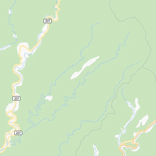
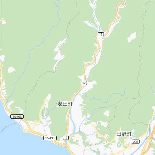
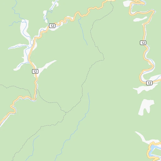
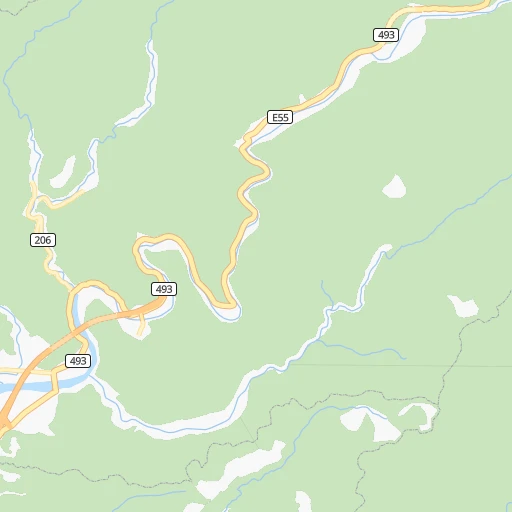
Roadmap (route) to go from Aki to Nakamura detailed above, you can also see the course layout on the map.
While doing trip Aki - Nakamura by car, the calculated route ends at a distance , or more straight.
Distance and duration of the route between Aki and Nakamura
Calculation of distance and route from Nakamura to Aki :
106.6143.3 km2h15mn
Continue 0h0mn 117 mTurn left 0h0mn 117 mTurn right 0h1mn 718 mTurn left 0h0mn 105 mTurn right 0h0mn 25 mTurn sharp left 0h1mn 930 mTurn left onto 国道55号 0h12mn 9.2 kmTurn right 0h1mn 655 mContinue onto 高知東部自動車道 0h5mn 5.5 kmKeep left 0h1mn 964 mContinue onto 高知東部自動車道 0h2mn 1.7 kmKeep right 0h19mn 18.0 kmTurn left 0h0mn 283 mTurn left 0h1mn 448 mTurn right onto 国道56号 0h3mn 2.4 kmTurn right 0h2mn 1.4 kmTurn left onto 高知土佐線 0h2mn 1.3 kmKeep right 0h0mn 100 mTurn right onto 高知土佐線 0h5mn 5.2 kmTurn left onto 土佐伊野線 0h2mn 2.4 kmTurn right onto 土佐市バイパス 0h1mn 710 mTurn right 0h0mn 16 mTurn slight right 0h0mn 399 mKeep left 1h34mn 42.0 kmTurn left onto 国道56号 0h5mn 5.6 kmTurn left onto 片坂バイパス 0h5mn 7.3 kmTurn left onto 国道56号 1h32mn 35.0 kmMake a U-turn onto 国道56号 0h1mn 667 mArrive at destination 0h0mn 0 m
Travel from Aki (Kochi) to a selection of major cities.
Distances from Aki to biggest cities in Kochi
Other major cities in country :
- Hachioji [40], 579,399 inhabitants. 552 km
- Honcho [04], 560,743 inhabitants. 609 km
- Kagoshima [18], 555,352 inhabitants. 381 km
- Niigata [29], 505,272 inhabitants. 672 km
- Himeji [13], 481,493 inhabitants. 164 km
- Matsudo [04], 470,277 inhabitants. 605 km
- Nishinomiya-hama [13], 468,925 inhabitants. 189 km
- Kawaguchi [34], 468,565 inhabitants. 591 km
- Kanazawa [15], 458,937 inhabitants. 425 km
- Utsunomiya [38], 449,865 inhabitants. 643 km
- Oita [30], 448,907 inhabitants. 216 km
- Matsuyama [05], 443,322 inhabitants. 112 km
- Amagasaki [13], 442,173 inhabitants. 195 km
- Kurashiki [31], 437,581 inhabitants. 121 km
- Yokosuka [19], 428,992 inhabitants. 566 km
- Nagasaki [27], 410,204 inhabitants. 384 km
- Hirakata [32], 406,331 inhabitants. 218 km
- Machida [40], 399,969 inhabitants. 557 km
- Gifu-shi [09], 397,714 inhabitants. 339 km
- Fujisawa [19], 394,624 inhabitants. 552 km
Route from Nakamura to major cities (Japan).
- Distance Nakamura Tokyo690 km
- Distance Nakamura Yokohama676 km
- Distance Nakamura Osaka304 km
- Distance Nakamura Nagoya440 km
- Distance Nakamura Sapporo1,342 km
- Distance Nakamura Kobe282 km
- Distance Nakamura Kyoto345 km
- Distance Nakamura Fukuoka244 km
- Distance Nakamura Kawasaki685 km
- Distance Nakamura Saitama698 km
- Distance Nakamura Hiroshima164 km
- Distance Nakamura Yono694 km
- Distance Nakamura Sendai927 km
- Distance Nakamura Kitakyushu216 km
- Distance Nakamura Chiba722 km
- Distance Nakamura Sakai294 km
- Distance Nakamura Shizuoka550 km
- Distance Nakamura Kumamoto210 km
- Distance Nakamura Okayama207 km
- Distance Nakamura Hamamatsu483 km
Nearest cities to Aki :
- Osaka, 2,592,413 inhabitants. 199 km
- Kobe, 1,528,478 inhabitants. 178 km
- Kyoto, 1,459,640 inhabitants. 240 km
- Hiroshima, 1,143,841 inhabitants. 167 km
- Sakai, 782,339 inhabitants. 188 km
- Okayama, 639,652 inhabitants. 128 km
- Himeji, 481,493 inhabitants. 164 km
- Nishinomiya-hama, 468,925 inhabitants. 189 km
- Oita, 448,907 inhabitants. 216 km
- Matsuyama, 443,322 inhabitants. 112 km
- Amagasaki, 442,173 inhabitants. 195 km
- Kurashiki, 437,581 inhabitants. 121 km
- Hirakata, 406,331 inhabitants. 218 km
- Gifu-shi, 397,714 inhabitants. 339 km
- Toyonaka, 384,459 inhabitants. 203 km
- Fukuyama, 383,298 inhabitants. 120 km
- Minato, 375,339 inhabitants. 140 km
- Nara-shi, 367,353 inhabitants. 220 km
- Takatsuki, 354,468 inhabitants. 218 km
- Suita, 351,630 inhabitants. 205 km
- Wakayama, 351,000 inhabitants. 143 km
- Kochi, 335,570 inhabitants. 34 km
- Takamatsu, 334,223 inhabitants. 94 km
- Miyazaki, 311,203 inhabitants. 292 km
- Otsu, 298,164 inhabitants. 246 km
- Akashi, 297,279 inhabitants. 164 km
- Yokkaichi, 295,841 inhabitants. 299 km
- Ichinomiya, 280,331 inhabitants. 333 km
- Ibaraki, 273,992 inhabitants. 212 km
- Yao, 273,213 inhabitants. 200 km
- Kakogawacho-honmachi, 271,634 inhabitants. 165 km
- Tokushima, 267,345 inhabitants. 88 km
- Fukui-shi, 248,707 inhabitants. 356 km
- Shimonoseki, 245,786 inhabitants. 278 km
- Neyagawa, 238,549 inhabitants. 213 km
- Takarazuka, 219,789 inhabitants. 197 km
- Kishiwada, 205,561 inhabitants. 173 km
- Kure, 196,624 inhabitants. 148 km
- Itami, 193,524 inhabitants. 199 km
- Uji, 192,925 inhabitants. 234 km
- Suzuka, 191,477 inhabitants. 291 km
- Izumi, 189,085 inhabitants. 179 km
- Ube, 173,733 inhabitants. 250 km
- Tsu, 163,461 inhabitants. 277 km
- Kawanishi, 160,520 inhabitants. 202 km
- Matsue, 156,811 inhabitants. 234 km
- Tottori, 154,098 inhabitants. 225 km
- Ogaki, 150,570 inhabitants. 323 km
- Moriguchi, 148,350 inhabitants. 206 km
- Yamaguchi, 145,515 inhabitants. 237 km
Location Aki (Kochi) :
| Country flag |  |
| Location | Aki |
| State | Kochi |
| County | Aki Shi |
| Country | Japan |
| Country code / ISO 2 | JP |
| Latitude | 33.5000000 |
| Longitude | 133.9000000 |
| Altitude | 0 meters |
| Time zone | Asia/Tokyo |
Location Nakamura (Kochi) :
| Country flag | |
| Location | Nakamura |
| State | Kochi |
| County | Shimanto-shi |
| Country | Japan |
| Country code / ISO 2 | JP |
| Latitude | 32.9833300 |
| Longitude | 132.9333300 |
| Altitude | 0 meters |
| Time zone | Asia/Tokyo |


