
How to get from Togitsu (Nagasaki) to Ube (Yamaguchi)
Calculate route from Togitsu (Nagasaki, Japan) to Ube (Yamaguchi, Japan).
The flight distance (as the crow flies) between Togitsu and Ube is 179.2 km.
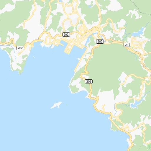
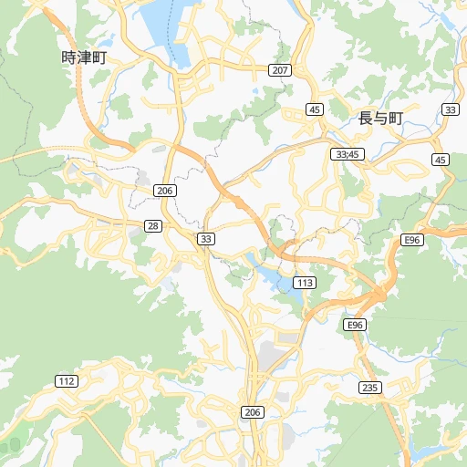
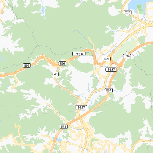
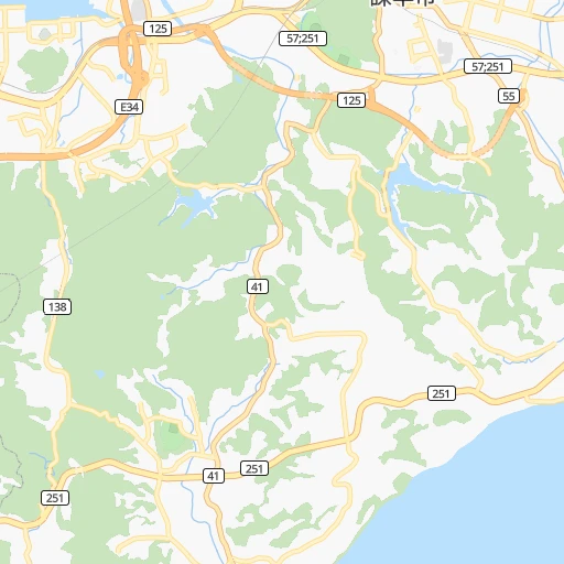
Roadmap (route) to go from Togitsu to Ube detailed above, you can also see the course layout on the map.
While doing trip Togitsu - Ube by car, the calculated route ends at a distance , or more straight.
Distance and duration of the route between Togitsu and Ube
Calculation of distance and route from Ube to Togitsu :
179.2260.9 km3h18mn
Continue 0h1mn 281 mTurn right 0h0mn 26 mTurn right onto 国道207号 0h0mn 571 mTurn left onto 国道206号 0h2mn 1.3 kmTurn left onto 川平有料道路 0h3mn 4.6 kmKeep left onto 長崎バイパス, 国道34号バイパス 0h6mn 9.1 kmTurn left 0h1mn 1.1 kmKeep left 1h11mn 106.8 kmKeep left 0h1mn 596 mKeep left 0h1mn 724 mKeep left onto 国道34号 0h7mn 5.2 kmTurn left 0h1mn 694 mTurn right 0h0mn 84 mTurn left 0h2mn 1.7 kmTurn right onto 筑紫野三輪線 0h2mn 2.1 kmContinue onto 国道200号 0h1mn 1.5 kmTurn right onto 筑紫野三輪線 0h0mn 288 mTurn left onto 冷水道路 0h20mn 23.5 kmContinue onto 飯塚バイパス 0h2mn 1.8 kmKeep left 0h0mn 45 mTurn slight right 0h0mn 219 mTurn left 0h0mn 389 mTurn right onto 鯰田停車場有井線 0h1mn 838 mContinue onto 口ノ原川島線 0h2mn 2.1 kmTurn right onto 北九州小竹線 0h0mn 73 mTurn left onto 飯塚バイパス 0h10mn 12.1 kmKeep left 0h0mn 445 mKeep left 0h28mn 40.4 kmKeep left 0h1mn 628 mKeep right 0h5mn 6.2 kmKeep left onto 国道2号 0h9mn 10.9 kmKeep left onto 国道190号 0h3mn 3.4 kmTurn right 0h0mn 199 mTurn right onto 国道190号 0h12mn 13.6 kmTurn right onto 宇部湾岸道路 0h4mn 6.1 kmKeep right 0h1mn 594 mContinue onto 宇部港線 0h0mn 45 mContinue onto 東海岸通り 0h1mn 713 mTurn left 0h0mn 57 mArrive at destination 0h0mn 0 m
Travel from Togitsu (Yamaguchi) to a selection of major cities.
Distances from Togitsu to biggest cities in Nagasaki
Other major cities in country :
- Hachioji [40], 579,399 inhabitants. 926 km
- Honcho [04], 560,743 inhabitants. 985 km
- Kagoshima [18], 555,352 inhabitants. 156 km
- Niigata [29], 505,272 inhabitants. 1,003 km
- Himeji [13], 481,493 inhabitants. 500 km
- Matsudo [04], 470,277 inhabitants. 980 km
- Nishinomiya-hama [13], 468,925 inhabitants. 549 km
- Kawaguchi [34], 468,565 inhabitants. 965 km
- Kanazawa [15], 458,937 inhabitants. 747 km
- Utsunomiya [38], 449,865 inhabitants. 1,007 km
- Oita [30], 448,907 inhabitants. 169 km
- Matsuyama [05], 443,322 inhabitants. 293 km
- Amagasaki [13], 442,173 inhabitants. 556 km
- Kurashiki [31], 437,581 inhabitants. 412 km
- Yokosuka [19], 428,992 inhabitants. 945 km
- Hirakata [32], 406,331 inhabitants. 580 km
- Machida [40], 399,969 inhabitants. 934 km
- Gifu-shi [09], 397,714 inhabitants. 699 km
- Fujisawa [19], 394,624 inhabitants. 930 km
- Toyonaka [32], 384,459 inhabitants. 563 km
Route from Ube to major cities (Japan).
- Distance Ube Tokyo795 km
- Distance Ube Yokohama786 km
- Distance Ube Osaka400 km
- Distance Ube Nagoya536 km
- Distance Ube Sapporo1,342 km
- Distance Ube Kobe371 km
- Distance Ube Kyoto430 km
- Distance Ube Fukuoka86 km
- Distance Ube Kawasaki794 km
- Distance Ube Saitama797 km
- Distance Ube Hiroshima122 km
- Distance Ube Yono795 km
- Distance Ube Sendai989 km
- Distance Ube Kitakyushu38 km
- Distance Ube Chiba831 km
- Distance Ube Sakai394 km
- Distance Ube Shizuoka665 km
- Distance Ube Kumamoto137 km
- Distance Ube Okayama259 km
- Distance Ube Hamamatsu602 km
Nearest cities to Togitsu :
- Fukuoka, 1,392,289 inhabitants. 100 km
- Hiroshima, 1,143,841 inhabitants. 297 km
- Kitakyushu, 997,536 inhabitants. 147 km
- Kumamoto, 680,423 inhabitants. 79 km
- Kagoshima, 555,352 inhabitants. 156 km
- Oita, 448,907 inhabitants. 169 km
- Matsuyama, 443,322 inhabitants. 293 km
- Nagasaki, 410,204 inhabitants. 10 km
- Miyazaki, 311,203 inhabitants. 179 km
- Shimonoseki, 245,786 inhabitants. 161 km
- Kurume, 238,197 inhabitants. 82 km
- Sasebo, 237,444 inhabitants. 39 km
- Kure, 196,624 inhabitants. 296 km
- Ube, 173,733 inhabitants. 179 km
- Saga, 165,236 inhabitants. 61 km
- Yamaguchi, 145,515 inhabitants. 212 km
- Omuta, 131,974 inhabitants. 60 km
- Miyakonojo, 130,994 inhabitants. 168 km
- Beppu, 125,065 inhabitants. 162 km
- Nobeoka, 121,949 inhabitants. 172 km
- Hofu, 116,925 inhabitants. 209 km
- Honmachi, 104,341 inhabitants. 79 km
- Iwakuni, 104,004 inhabitants. 265 km
- Tokuyama, 101,133 inhabitants. 227 km
- Chikushino-shi, 100,353 inhabitants. 96 km
- Isahaya, 97,371 inhabitants. 18 km
- Onojo, 94,957 inhabitants. 98 km
- Omura, 89,918 inhabitants. 14 km
- Izumo, 89,286 inhabitants. 390 km
- Kanoya, 82,335 inhabitants. 187 km
- Karatsu, 78,330 inhabitants. 69 km
- Iizuka, 78,206 inhabitants. 119 km
- Hatsukaichi, 77,341 inhabitants. 286 km
- Tsurusaki, 76,968 inhabitants. 178 km
- Satsumasendai, 73,132 inhabitants. 121 km
- Yukuhashi, 71,277 inhabitants. 145 km
- Dazaifu, 70,587 inhabitants. 98 km
- Maebaru-chuo, 70,339 inhabitants. 87 km
- Nakatsu, 67,372 inhabitants. 151 km
- Tosu, 63,595 inhabitants. 86 km
- Hita, 61,481 inhabitants. 115 km
- Koga, 60,045 inhabitants. 115 km
- Uwajima, 58,971 inhabitants. 257 km
- Imaricho-ko, 57,940 inhabitants. 49 km
- Kokubu-matsuki, 57,896 inhabitants. 150 km
- Nogata, 56,821 inhabitants. 130 km
- Kudamatsu, 52,772 inhabitants. 228 km
- Tagawa, 51,608 inhabitants. 126 km
- Saiki, 49,065 inhabitants. 192 km
- Masuda, 48,576 inhabitants. 276 km
Location Togitsu (Nagasaki) :
| Country flag |  |
| Location | Togitsu |
| State | Nagasaki |
| County | Nishisonogi-gun |
| Country | Japan |
| Country code / ISO 2 | JP |
| Latitude | 32.8333300 |
| Longitude | 129.8500000 |
| Altitude | 0 meters |
| Time zone | Asia/Tokyo |
Location Ube (Yamaguchi) :
| Country flag | |
| Location | Ube |
| State | Yamaguchi |
| County | Ube Shi |
| Country | Japan |
| Country code / ISO 2 | JP |
| Latitude | 33.9430600 |
| Longitude | 131.2511100 |
| Altitude | 0 meters |
| Time zone | Asia/Tokyo |


