


How to get from Al Mayādīn (Deir ez-Zor) to Douma (Rif-dimashq)
Calculate route from Al Mayādīn (Deir ez-Zor, Syria) to Douma (Rif-dimashq, Syria).
The flight distance (as the crow flies) between Al Mayādīn and Douma is 405.0 km.
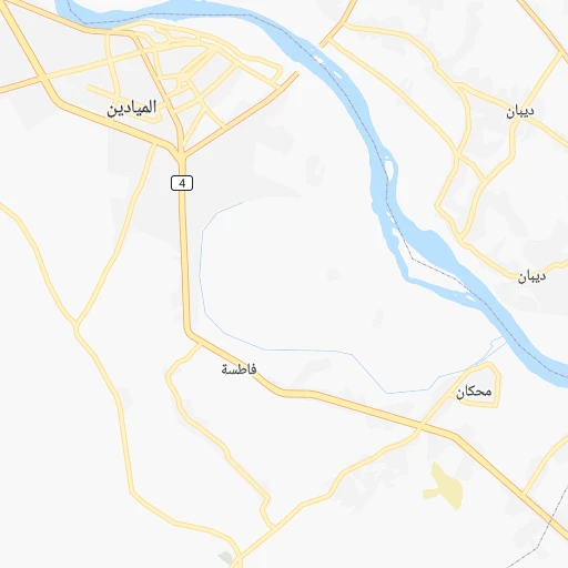
Roadmap (route) to go from Al Mayādīn to Douma detailed above, you can also see the course layout on the map.
While doing trip Al Mayādīn - Douma by car, the calculated route ends at a distance , or more straight.
Distance and duration of the route between Al Mayādīn and Douma
Calculation of distance and route from Douma to Al Mayādīn :
405.0468.8 km6h49mn
Continue 0h0mn 37 mTurn right 0h1mn 400 mTurn left 0h1mn 1.3 kmAt roundabout, take exit 2 1h35mn 38.3 kmTurn left 0h8mn 6.7 kmTurn left 0h0mn 253 mKeep right 0h0mn 112 mKeep right 0h22mn 18.1 kmTurn left onto 7 2h56mn 173.5 kmKeep left 0h1mn 1.5 kmAt roundabout, take exit 3 0h1mn 888 mAt roundabout, take exit 1 0h1mn 938 mTurn left 0h1mn 1.1 kmTurn right 0h0mn 127 mAt roundabout, take exit 2 0h5mn 4.5 kmAt roundabout, take exit 2 0h1mn 634 mAt roundabout, take exit 1 0h3mn 3.2 kmTurn right 0h0mn 11 mAt roundabout, take exit 2 1h51mn 76.8 kmKeep left onto 90 1h37mn 54.8 kmTurn slight right onto 2 1h36mn 54.7 kmKeep left 0h1mn 1.0 kmAt roundabout, take exit 1 0h1mn 528 mKeep left 0h1mn 1.3 kmAt roundabout, take exit 2 0h1mn 1.0 kmAt roundabout, take exit 1 onto 2 0h10mn 11.3 kmTurn left 0h6mn 6.4 kmKeep left 0h8mn 7.6 kmAt roundabout, take exit 2 0h0mn 278 mTurn right 0h0mn 12 mTurn left 0h0mn 291 mTurn slight right onto شارع الجلاء 0h1mn 928 mTurn right 0h0mn 95 mArrive at destination 0h0mn 0 m
Travel from Al Mayādīn (Rif-dimashq) to a selection of major cities.
Distances from Al Mayādīn to biggest cities in Deir ez-Zor
Other major cities in country :
Route from Douma to major cities (Syria).
- Distance Douma Aleppo301 km
- Distance Douma Damascus12 km
- Distance Douma Homs132 km
- Distance Douma Hamah177 km
- Distance Douma Latakia225 km
- Distance Douma Deir ez-Zor395 km
- Distance Douma Ar Raqqah356 km
- Distance Douma Al Bab328 km
- Distance Douma Idlib263 km
- Distance Douma Dar'a110 km
- Distance Douma As Safirah293 km
- Distance Douma As Salamiyah171 km
- Distance Douma Tartouss154 km
- Distance Douma Ath Thawrah320 km
- Distance Douma Al Hasakah513 km
- Distance Douma Manbij358 km
- Distance Douma I`zaz341 km
- Distance Douma Jablah204 km
- Distance Douma As Suwayda'97 km
- Distance Douma Albu Kamal428 km
Nearest cities to Al Mayādīn :
- Deir ez-Zor, 242,565 inhabitants. 45 km
- Ar Raqqah, 177,636 inhabitants. 167 km
- Al Bab, 130,745 inhabitants. 305 km
- Ath Thawrah, 87,880 inhabitants. 195 km
- Al Hasakah, 81,539 inhabitants. 167 km
- Manbij, 68,888 inhabitants. 281 km
- Albu Kamal, 57,572 inhabitants. 76 km
- Al Mayadin, 54,534 inhabitants. 0 km
- Tadmur, 51,015 inhabitants. 205 km
- 'Ayn al 'Arab, 50,000 inhabitants. 281 km
- Tadif, 34,670 inhabitants. 303 km
- Hajin, 29,237 inhabitants. 50 km
- Dayr Hafir, 28,905 inhabitants. 279 km
- Subaykhan, 25,514 inhabitants. 23 km
- Jarabulus, 24,997 inhabitants. 297 km
- Ad Darbasiyah, 21,481 inhabitants. 229 km
Location Al Mayādīn (Deir ez-Zor) :
| Country flag |  |
| Location | Al Mayādīn |
| State | Deir ez-Zor |
| County | |
| Country | Syria |
| Country code / ISO 2 | SY |
| Latitude | 35.0198200 |
| Longitude | 40.4515400 |
| Altitude | 0 meters |
| Time zone | Asia/Damascus |
Location Douma (Rif-dimashq) :
| Country flag | |
| Location | Douma |
| State | Rif-dimashq |
| County | |
| Country | Syria |
| Country code / ISO 2 | SY |
| Latitude | 33.5717500 |
| Longitude | 36.4027000 |
| Altitude | 0 meters |
| Time zone | Asia/Damascus |