
How to get from Buug (Zamboanga Peninsula) to Bañga (Soccsksargen)
Calculate route from Buug (Zamboanga Peninsula, Philippines) to Bañga (Soccsksargen, Philippines).
The flight distance (as the crow flies) between Buug and Bañga is 238.7 km.
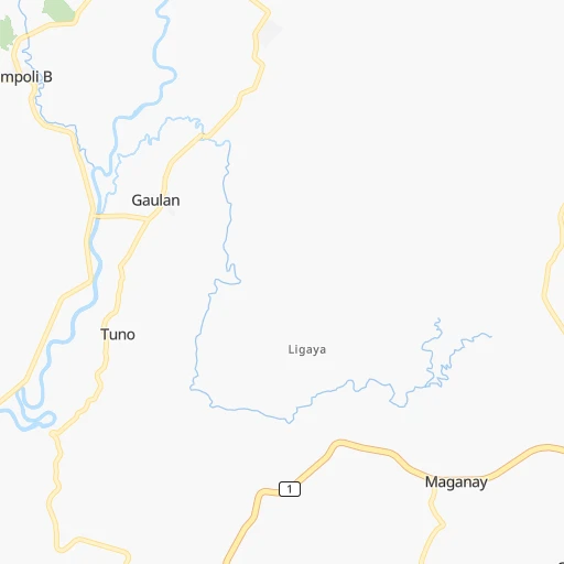
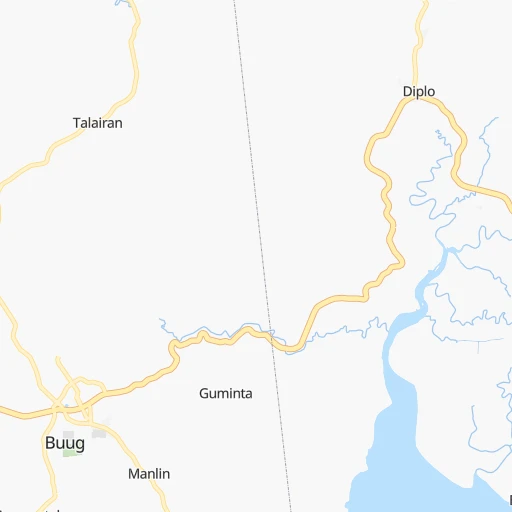
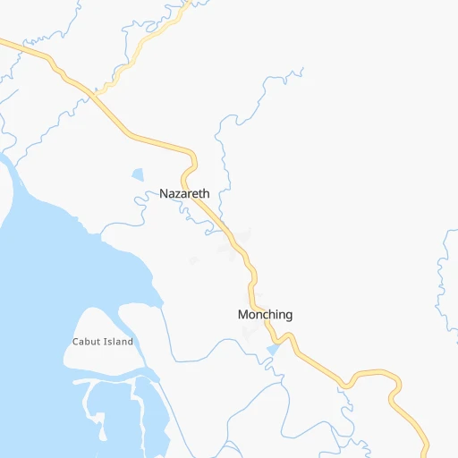
Roadmap (route) to go from Buug to Bañga detailed above, you can also see the course layout on the map.
While doing trip Buug - Bañga by car, the calculated route ends at a distance , or more straight.
Distance and duration of the route between Buug and Bañga
Calculation of distance and route from Bañga to Buug :
238.7356.1 km6h1mn
Continue onto Magsaysay Street 0h0mn 78 mTurn right onto Rizal Avenue 0h0mn 93 mTurn left onto Pagadian-Zamboanga City Highway 1h8mn 60.0 kmAt roundabout, take exit 2 onto Pagadian Bypass Road 0h5mn 3.0 kmTurn left onto J. P. Rizal Avenue 0h14mn 15.9 kmKeep right and drive toward Cotabato City 0h0mn 47 mTurn slight right onto Aurora-Tukuran Highway 0h2mn 1.5 kmTurn left onto Malabang-Tukuran Road 2h55mn 128.4 kmTurn right 0h0mn 298 mKeep left 0h1mn 830 mTurn left 0h1mn 591 mTurn right 0h0mn 102 mKeep left 0h1mn 290 mTurn right 0h0mn 91 mTurn left onto Narciso Ramos Highway 0h2mn 2.5 kmKeep right onto Simuay-Landasan-Parang Road 0h1mn 545 mTurn sharp left 0h0mn 216 mTurn slight right onto Narciso Ramos Highway 0h11mn 10.0 kmTurn left onto Narciso Ramos Highway 0h3mn 4.1 kmTurn left onto Cotabato City East Diversion Road 0h11mn 12.2 kmTurn left 0h5mn 2.3 kmTurn left onto Cotabato-Koronadal Highway 1h38mn 36.1 kmAt roundabout, take exit 1 onto Cotabato-Koronadal Highway 0h9mn 8.4 kmAt roundabout, take exit 1 onto Cotabato-Koronadal Highway 1h34mn 31.0 kmAt roundabout, take exit 1 onto Senator Ninoy Aquino Avenue 0h13mn 12.7 kmTurn left onto Norala Road 0h23mn 23.1 kmTurn right onto Koronadal-Cotabato Highway 0h0mn 488 mTurn left 0h1mn 946 mTurn right 0h0mn 120 mTurn left 0h0mn 137 mTurn right onto Roxas Street 0h0mn 48 mArrive at destination 0h0mn 0 m
Travel from Buug (Soccsksargen) to a selection of major cities.
Distances from Buug to biggest cities in Zamboanga Peninsula
Other major cities in country :
- Bacoor [40], 356,974 inhabitants. 784 km
- Lapu-Lapu City [07], 350,467 inhabitants. 303 km
- Iligan [10], 342,618 inhabitants. 142 km
- Mandaue City [07], 331,320 inhabitants. 304 km
- Calamba [40], 316,612 inhabitants. 751 km
- Iligan City [12], 312,323 inhabitants. 159 km
- Butuan [13], 309,709 inhabitants. 305 km
- Cabuyao [40], 308,745 inhabitants. 758 km
- Mandaluyong City [NCR], 305,576 inhabitants. 794 km
- Binan [40], 300,000 inhabitants. 767 km
- Angeles City [03], 299,391 inhabitants. 869 km
- Santol [03], 298,976 inhabitants. 871 km
- Cainta [40], 283,172 inhabitants. 791 km
- Baguio [15], 272,714 inhabitants. 1,004 km
- San Pedro [40], 270,216 inhabitants. 770 km
- Mantampay [10], 265,032 inhabitants. 137 km
- San Fernando [03], 251,248 inhabitants. 853 km
- Libertad [13], 250,353 inhabitants. 301 km
- Navotas [NCR], 249,463 inhabitants. 806 km
- Tacloban [08], 242,089 inhabitants. 446 km
Route from Bañga to major cities (Philippines).
- Distance Bañga Quezon City1,002 km
- Distance Bañga Manila1,001 km
- Distance Bañga Caloocan City1,006 km
- Distance Bañga Budta95 km
- Distance Bañga Davao117 km
- Distance Bañga Cebu City444 km
- Distance Bañga Taguig988 km
- Distance Bañga Pasig City995 km
- Distance Bañga Las Pinas985 km
- Distance Bañga Antipolo997 km
- Distance Bañga Makati City993 km
- Distance Bañga Zamboanga304 km
- Distance Bañga Bacolod City513 km
- Distance Bañga Mansilingan508 km
- Distance Bañga Cagayan de Oro230 km
- Distance Bañga Dasmarinas975 km
- Distance Bañga Pasay993 km
- Distance Bañga Iloilo534 km
- Distance Bañga San Jose del Monte1,019 km
- Distance Bañga Bacoor989 km
Nearest cities to Buug :
- Budta, 1,273,715 inhabitants. 163 km
- Davao, 1,212,504 inhabitants. 291 km
- Malingao, 1,121,974 inhabitants. 169 km
- Cebu City, 798,634 inhabitants. 302 km
- General Santos, 679,588 inhabitants. 295 km
- Zamboanga, 457,623 inhabitants. 142 km
- Bacolod City, 454,898 inhabitants. 327 km
- Mansilingan, 454,150 inhabitants. 323 km
- Cagayan de Oro, 445,103 inhabitants. 194 km
- Iloilo, 387,681 inhabitants. 335 km
- Lapu-Lapu City, 350,467 inhabitants. 303 km
- Iligan, 342,618 inhabitants. 142 km
- Mandaue City, 331,320 inhabitants. 304 km
- Iligan City, 312,323 inhabitants. 159 km
- Butuan, 309,709 inhabitants. 305 km
- Mantampay, 265,032 inhabitants. 137 km
- Libertad, 250,353 inhabitants. 301 km
- Magugpo Poblacion, 233,254 inhabitants. 304 km
- Pagadian, 186,852 inhabitants. 43 km
- Cotabato, 179,433 inhabitants. 143 km
- Toledo, 156,916 inhabitants. 302 km
- Bago City, 150,250 inhabitants. 313 km
- Marawi City, 143,627 inhabitants. 138 km
- Kabankalan, 136,483 inhabitants. 252 km
- Talisay, 133,148 inhabitants. 293 km
- Muricay, 132,094 inhabitants. 47 km
- Koronadal, 125,502 inhabitants. 240 km
- Digos, 116,122 inhabitants. 276 km
- Dumaguete, 113,541 inhabitants. 178 km
- Jolo, 101,002 inhabitants. 294 km
- Dipolog, 93,549 inhabitants. 98 km
- Ozamiz City, 93,082 inhabitants. 98 km
- Surigao, 87,832 inhabitants. 353 km
- Tagbilaran City, 86,411 inhabitants. 231 km
- Panabo, 84,749 inhabitants. 293 km
- NIA Valencia, 83,591 inhabitants. 225 km
- Kidapawan, 79,652 inhabitants. 238 km
- Mariano, 70,516 inhabitants. 258 km
- Danao, 70,270 inhabitants. 328 km
- City of Isabela, 67,336 inhabitants. 166 km
- Bais, 65,594 inhabitants. 207 km
- Polomolok, 63,987 inhabitants. 278 km
- Minglanilla, 62,058 inhabitants. 292 km
- Malaybalay, 61,524 inhabitants. 233 km
- Ualog, 60,548 inhabitants. 319 km
- Banga, 58,855 inhabitants. 239 km
- Tacurong, 54,648 inhabitants. 213 km
- Malungun, 52,248 inhabitants. 294 km
- Monkayo, 51,393 inhabitants. 330 km
- Dapitan, 50,514 inhabitants. 111 km
Location Buug (Zamboanga Peninsula) :
| Country flag |  |
| Location | Buug |
| State | Zamboanga Peninsula |
| County | Province of Zamboanga Sibugay |
| Country | Philippines |
| Country code / ISO 2 | PH |
| Latitude | 7.7294000 |
| Longitude | 123.0598000 |
| Altitude | 0 meters |
| Time zone | Asia/Manila |
Location Bañga (Soccsksargen) :
| Country flag | |
| Location | Bañga |
| State | Soccsksargen |
| County | Province of South Cotabato |
| Country | Philippines |
| Country code / ISO 2 | PH |
| Latitude | 6.4238900 |
| Longitude | 124.7783300 |
| Altitude | 0 meters |
| Time zone | Asia/Manila |
