
How to get from Mati (Davao) to Jagna (Central Visayas)
Calculate route from Mati (Davao, Philippines) to Jagna (Central Visayas, Philippines).
The flight distance (as the crow flies) between Mati and Jagna is 362.1 km.
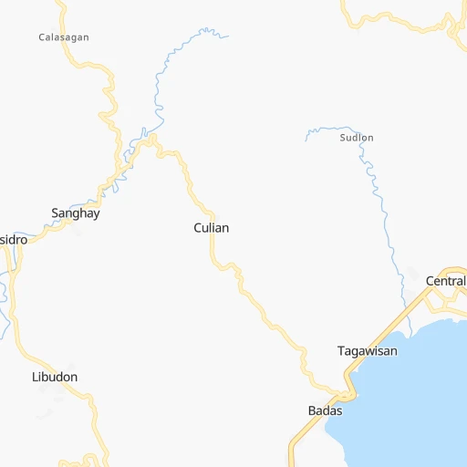
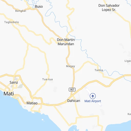
Roadmap (route) to go from Mati to Jagna detailed above, you can also see the course layout on the map.
While doing trip Mati - Jagna by car, the calculated route ends at a distance , or more straight.
Distance and duration of the route between Mati and Jagna
Calculation of distance and route from Jagna to Mati :
362.1500.1 km13h52mn
Continue onto Rizal Street 0h0mn 136 mTurn right 0h1mn 609 mTurn left onto Don Mariano Marcos Avenue 0h7mn 8.0 kmTurn left onto Mati-Maragusan Road 1h38mn 41.4 kmAt roundabout, take exit 2 onto Mahogany Street 0h0mn 201 mTurn right onto Agoho Street 0h23mn 25.7 kmTurn right 0h0mn 374 mTurn right onto Panag-Camanlangan Road 0h13mn 10.6 kmTurn left onto Alegria-Panag Road 0h0mn 394 mTurn right onto Alegria-Panag Road 0h5mn 4.0 kmTurn right onto Compostela-Nabunturan Road 0h6mn 6.1 kmContinue onto E. Quirino Street 0h1mn 832 mTurn left onto Dagohoy Street 0h3mn 2.9 kmTurn left onto Compostela-Monkayo Road 0h18mn 17.8 kmTurn right 0h5mn 4.3 kmTurn right onto Davao-Agusan National Highway 0h18mn 21.4 kmAt roundabout, take exit 2 onto Davao-Agusan National Highway 1h55mn 61.8 kmAt roundabout, take exit 3 onto Davao-Agusan National Highway 1h36mn 39.6 kmAt roundabout, take exit 4 onto Narra Avenue 0h1mn 977 mContinue onto Davao-Agusan National Highway 0h12mn 13.1 kmTurn right 0h0mn 92 mTurn left 0h2mn 1.0 kmTurn left 0h0mn 115 mTurn right onto Davao-Agusan National Highway 0h16mn 19.5 kmTurn left onto Butuan Diversion Road 0h13mn 17.9 kmAt roundabout, take exit 5 onto Butuan-Cagayan de Oro-Iligan Road 2h37mn 107.4 kmTurn right 0h0mn 252 mKeep right onto Benoni - Balingoan 1h23mn 16.6 kmContinue 0h0mn 24 mTurn right 0h0mn 20 mTurn left 0h0mn 63 mTurn right onto Camiguin Circumferential Road 0h13mn 14.8 kmTurn right 5h4mn 61.1 kmContinue 0h0mn 173 mTurn left 0h0mn 173 mTurn right onto Tagbilaran East Road 0h1mn 502 mTurn left 0h0mn 131 mArrive at destination 0h0mn 0 m
Travel from Mati (Central Visayas) to a selection of major cities.
Distances from Mati to biggest cities in Davao
Other major cities in country :
- Bacoor [40], 356,974 inhabitants. 1,016 km
- Lapu-Lapu City [07], 350,467 inhabitants. 449 km
- Iligan [10], 342,618 inhabitants. 260 km
- Mandaue City [07], 331,320 inhabitants. 452 km
- Calamba [40], 316,612 inhabitants. 979 km
- Iligan City [12], 312,323 inhabitants. 247 km
- Butuan [13], 309,709 inhabitants. 234 km
- Cabuyao [40], 308,745 inhabitants. 987 km
- Mandaluyong City [NCR], 305,576 inhabitants. 1,020 km
- Binan [40], 300,000 inhabitants. 996 km
- Angeles City [03], 299,391 inhabitants. 1,100 km
- Santol [03], 298,976 inhabitants. 1,102 km
- Cainta [40], 283,172 inhabitants. 1,015 km
- Baguio [15], 272,714 inhabitants. 1,218 km
- San Pedro [40], 270,216 inhabitants. 999 km
- Mantampay [10], 265,032 inhabitants. 259 km
- San Fernando [03], 251,248 inhabitants. 1,083 km
- Libertad [13], 250,353 inhabitants. 235 km
- Navotas [NCR], 249,463 inhabitants. 1,033 km
- Tacloban [08], 242,089 inhabitants. 496 km
Route from Jagna to major cities (Philippines).
- Distance Jagna Quezon City663 km
- Distance Jagna Manila663 km
- Distance Jagna Caloocan City668 km
- Distance Jagna Budta273 km
- Distance Jagna Davao318 km
- Distance Jagna Malingao278 km
- Distance Jagna General Santos404 km
- Distance Jagna Taguig650 km
- Distance Jagna Pasig City657 km
- Distance Jagna Las Pinas649 km
- Distance Jagna Antipolo657 km
- Distance Jagna Makati City655 km
- Distance Jagna Zamboanga396 km
- Distance Jagna Bacolod City192 km
- Distance Jagna Mansilingan187 km
- Distance Jagna Cagayan de Oro134 km
- Distance Jagna Dasmarinas641 km
- Distance Jagna Pasay656 km
- Distance Jagna Iloilo229 km
- Distance Jagna San Jose del Monte679 km
Nearest cities to Mati :
- Budta, 1,273,715 inhabitants. 198 km
- Davao, 1,212,504 inhabitants. 68 km
- Malingao, 1,121,974 inhabitants. 194 km
- General Santos, 679,588 inhabitants. 149 km
- Cagayan de Oro, 445,103 inhabitants. 243 km
- Iligan, 342,618 inhabitants. 260 km
- Iligan City, 312,323 inhabitants. 247 km
- Butuan, 309,709 inhabitants. 234 km
- Mantampay, 265,032 inhabitants. 259 km
- Libertad, 250,353 inhabitants. 235 km
- Magugpo Poblacion, 233,254 inhabitants. 71 km
- Pagadian, 186,852 inhabitants. 322 km
- Cotabato, 179,433 inhabitants. 220 km
- Marawi City, 143,627 inhabitants. 243 km
- Muricay, 132,094 inhabitants. 318 km
- Koronadal, 125,502 inhabitants. 160 km
- Digos, 116,122 inhabitants. 98 km
- Dumaguete, 113,541 inhabitants. 414 km
- Mati, 105,908 inhabitants. 0 km
- Dipolog, 93,549 inhabitants. 365 km
- Ozamiz City, 93,082 inhabitants. 294 km
- Surigao, 87,832 inhabitants. 325 km
- Tagbilaran City, 86,411 inhabitants. 398 km
- Panabo, 84,749 inhabitants. 71 km
- NIA Valencia, 83,591 inhabitants. 163 km
- Kidapawan, 79,652 inhabitants. 125 km
- Mariano, 70,516 inhabitants. 242 km
- Bislig, 67,567 inhabitants. 141 km
- Polomolok, 63,987 inhabitants. 151 km
- Malaybalay, 61,524 inhabitants. 180 km
- Banga, 58,855 inhabitants. 170 km
- Tacurong, 54,648 inhabitants. 173 km
- Malungun, 52,248 inhabitants. 128 km
- Monkayo, 51,393 inhabitants. 97 km
- Dapitan, 50,514 inhabitants. 362 km
- Bugo, 45,787 inhabitants. 236 km
- Parang, 44,930 inhabitants. 220 km
- Samal, 43,526 inhabitants. 58 km
- Alabel, 43,312 inhabitants. 140 km
- Compostela, 42,563 inhabitants. 81 km
- Malita, 41,114 inhabitants. 90 km
- Bayugan, 40,561 inhabitants. 207 km
- Oroquieta, 39,279 inhabitants. 316 km
- Maramag, 33,844 inhabitants. 161 km
- Midsayap, 32,932 inhabitants. 188 km
- Jagna, 32,566 inhabitants. 363 km
- Kabacan, 31,769 inhabitants. 154 km
- Isulan, 31,717 inhabitants. 182 km
- Cabadbaran, 31,114 inhabitants. 253 km
- Surallah, 31,089 inhabitants. 175 km
Location Mati (Davao) :
| Country flag |  |
| Location | Mati |
| State | Davao |
| County | Province of Davao Oriental |
| Country | Philippines |
| Country code / ISO 2 | PH |
| Latitude | 6.9550800 |
| Longitude | 126.2165500 |
| Altitude | 0 meters |
| Time zone | Asia/Manila |
Location Jagna (Central Visayas) :
| Country flag | |
| Location | Jagna |
| State | Central Visayas |
| County | Province of Bohol |
| Country | Philippines |
| Country code / ISO 2 | PH |
| Latitude | 9.6531000 |
| Longitude | 124.3697000 |
| Altitude | 0 meters |
| Time zone | Asia/Manila |
