

How to get from Ayagoz (East Kazakhstan) to Zhalghyztobe (East Kazakhstan)
Calculate route from Ayagoz (East Kazakhstan, Kazakhstan) to Zhalghyztobe (East Kazakhstan, Kazakhstan).
The flight distance (as the crow flies) between Ayagoz and Zhalghyztobe is 150.0 km.
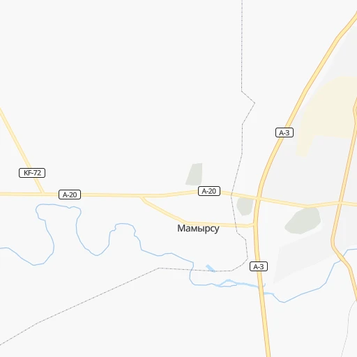
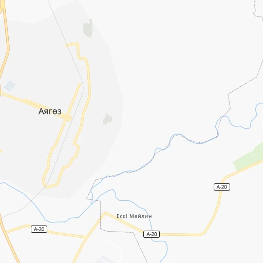
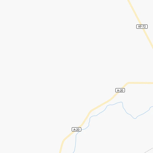
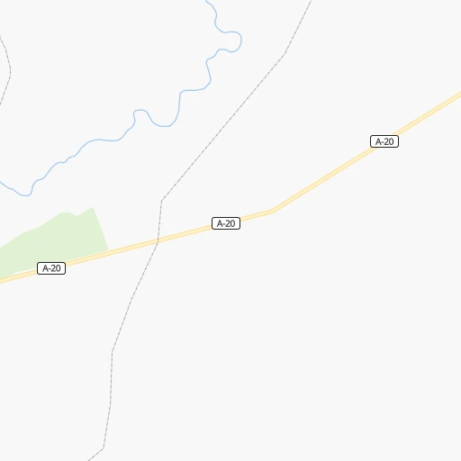
Roadmap (route) to go from Ayagoz to Zhalghyztobe detailed above, you can also see the course layout on the map.
While doing trip Ayagoz - Zhalghyztobe by car, the calculated route ends at a distance , or more straight.
Distance and duration of the route between Ayagoz and Zhalghyztobe
Calculation of distance and route from Zhalghyztobe to Ayagoz :
150.0166.5 km2h27mn
Continue 0h0mn 61 mTurn left 0h0mn 70 mTurn left onto Момышулы 0h0mn 237 mTurn left onto Бульвар Абая 0h1mn 656 mTurn left onto Сейфуллина 0h0mn 50 mTurn right onto Бульвар Абая 0h1mn 640 mTurn right 0h2mn 2.2 kmContinue onto Қалбатау - Алматы 2h13mn 155.5 kmKeep right 0h7mn 5.8 kmTurn right 0h1mn 684 mTurn sharp left 0h1mn 226 mTurn left 0h1mn 318 mTurn left 0h0mn 25 mArrive at destination 0h0mn 0 m
Travel from Ayagoz (East Kazakhstan) to a selection of major cities.
Distances from Ayagoz to biggest cities in East Kazakhstan
Other major cities in country :
Route from Zhalghyztobe to major cities (Kazakhstan).
- Distance Zhalghyztobe Almaty740 km
- Distance Zhalghyztobe Karagandy590 km
- Distance Zhalghyztobe Shymkent1,183 km
- Distance Zhalghyztobe Taraz1,034 km
- Distance Zhalghyztobe Astana729 km
- Distance Zhalghyztobe Pavlodar454 km
- Distance Zhalghyztobe Kyzyl-Orda1,285 km
- Distance Zhalghyztobe Kyzylorda1,284 km
- Distance Zhalghyztobe Aktobe1,724 km
- Distance Zhalghyztobe Kostanay1,301 km
- Distance Zhalghyztobe Petropavl1,036 km
- Distance Zhalghyztobe Oral2,123 km
- Distance Zhalghyztobe Atyrau2,177 km
- Distance Zhalghyztobe Temirtau602 km
- Distance Zhalghyztobe Aktau2,370 km
- Distance Zhalghyztobe Kokshetau938 km
- Distance Zhalghyztobe Rudnyy1,329 km
- Distance Zhalghyztobe Ekibastuz502 km
- Distance Zhalghyztobe Taldykorgan514 km
- Distance Zhalghyztobe Zhezqazghan1,003 km
Nearest cities to Ayagoz :
- Ust-Kamenogorsk, 319,067 inhabitants. 274 km
- Semey, 292,780 inhabitants. 274 km
- Taldykorgan, 116,558 inhabitants. 364 km
- Sarkand, 76,919 inhabitants. 287 km
- Ayagoz, 33,479 inhabitants. 0 km
- Georgievka, 22,047 inhabitants. 173 km
- Ush-Tyube, 20,492 inhabitants. 355 km
- Shemonaikha, 20,087 inhabitants. 315 km
- Urzhar, 14,826 inhabitants. 132 km
- Glubokoye, 11,192 inhabitants. 278 km
- Kurchatov, 10,747 inhabitants. 340 km
- Belousovka, 9,948 inhabitants. 286 km
- Shar, 9,087 inhabitants. 186 km
- Zhezkent, 8,896 inhabitants. 337 km
- Ust'-Talovka, 6,122 inhabitants. 306 km
- Borodulikha, 5,931 inhabitants. 309 km
- Asubulaq, 5,644 inhabitants. 262 km
- Lepsy, 5,350 inhabitants. 223 km
- Qarauyl, 5,261 inhabitants. 140 km
- Kokpekty, 5,165 inhabitants. 170 km
- Aqtoghay, 4,974 inhabitants. 127 km
- Zhalghyztobe, 4,400 inhabitants. 150 km
- Auezov, 4,209 inhabitants. 212 km
- Matay, 4,139 inhabitants. 265 km
- Sarykamys, 4,038 inhabitants. 130 km
Location Ayagoz (East Kazakhstan) :
| Country flag |  |
| Location | Ayagoz |
| State | East Kazakhstan |
| County | |
| Country | Kazakhstan |
| Country code / ISO 2 | KZ |
| Latitude | 47.9644700 |
| Longitude | 80.4343700 |
| Altitude | 0 meters |
| Time zone | Asia/Almaty |
Location Zhalghyztobe (East Kazakhstan) :
| Country flag | |
| Location | Zhalghyztobe |
| State | East Kazakhstan |
| County | |
| Country | Kazakhstan |
| Country code / ISO 2 | KZ |
| Latitude | 49.2109400 |
| Longitude | 81.2159600 |
| Altitude | 0 meters |
| Time zone | Asia/Almaty |