

How to get from Zhosaly (Qyzylorda) to Turkestan (South Kazakhstan)
Calculate route from Zhosaly (Qyzylorda, Kazakhstan) to Turkestan (South Kazakhstan, Kazakhstan).
The flight distance (as the crow flies) between Zhosaly and Turkestan is 411.1 km.
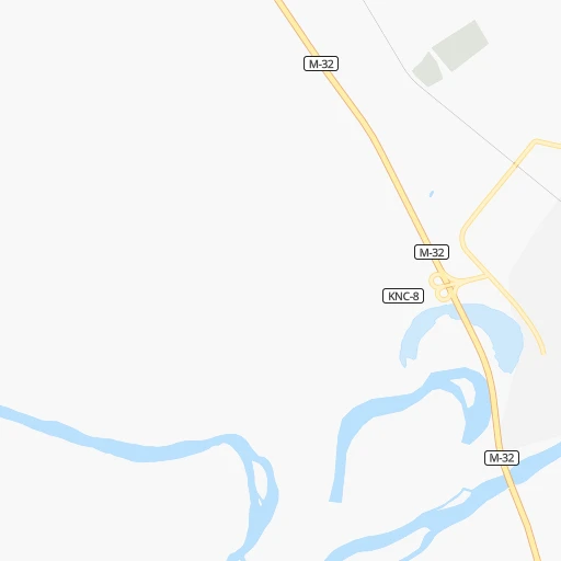
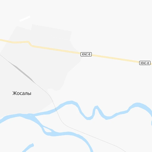
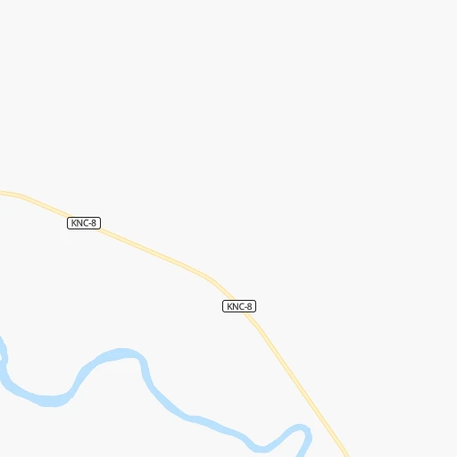
Roadmap (route) to go from Zhosaly to Turkestan detailed above, you can also see the course layout on the map.
While doing trip Zhosaly - Turkestan by car, the calculated route ends at a distance , or more straight.
Distance and duration of the route between Zhosaly and Turkestan
Calculation of distance and route from Turkestan to Zhosaly :
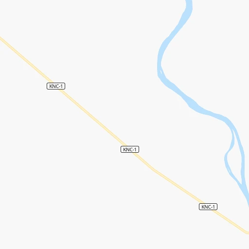
411.1454.8 km6h15mn
Continue onto Байзактеги 0h0mn 3 mTurn left onto Умирова 0h2mn 814 mTurn right 0h1mn 913 mTurn left onto KNC-8 0h0mn 252 mKeep right 0h0mn 424 mTurn sharp left onto M-32 6h7mn 448.7 kmKeep right 0h1mn 668 mAt roundabout, take exit 3 0h3mn 2.1 kmContinue onto Тәуке хан даңғылы 0h0mn 243 mTurn right onto Амангелды улица 0h1mn 682 mArrive at destination 0h0mn 0 m
Travel from Zhosaly (South Kazakhstan) to a selection of major cities.
Distances from Zhosaly to biggest cities in Qyzylorda
Other major cities in country :
- Zhanaozen [09], 103,598 inhabitants. 922 km
- Turkestan [10], 97,360 inhabitants. 412 km
- Balqash [12], 81,364 inhabitants. 854 km
- Sarkand [01], 76,919 inhabitants. 1,235 km
- Baikonur [08], 70,000 inhabitants. 61 km
- Kentau [10], 57,408 inhabitants. 414 km
- Ridder [15], 52,664 inhabitants. 1,542 km
- Qulsary [06], 51,216 inhabitants. 791 km
Route from Turkestan to major cities (Kazakhstan).
- Distance Turkestan Almaty703 km
- Distance Turkestan Karagandy813 km
- Distance Turkestan Shymkent156 km
- Distance Turkestan Taraz257 km
- Distance Turkestan Astana910 km
- Distance Turkestan Pavlodar1,192 km
- Distance Turkestan Ust-Kamenogorsk1,322 km
- Distance Turkestan Kyzyl-Orda280 km
- Distance Turkestan Kyzylorda279 km
- Distance Turkestan Semey1,208 km
- Distance Turkestan Aktobe1,144 km
- Distance Turkestan Kostanay1,155 km
- Distance Turkestan Petropavl1,290 km
- Distance Turkestan Oral1,546 km
- Distance Turkestan Atyrau1,349 km
- Distance Turkestan Temirtau834 km
- Distance Turkestan Aktau1,378 km
- Distance Turkestan Kokshetau1,115 km
- Distance Turkestan Rudnyy1,142 km
- Distance Turkestan Ekibastuz1,077 km
Nearest cities to Zhosaly :
- Kyzylorda, 300,000 inhabitants. 133 km
- Kyzyl-Orda, 300,000 inhabitants. 132 km
- Baikonur, 70,000 inhabitants. 61 km
- Ayteke Bi, 35,883 inhabitants. 155 km
- Aral, 33,017 inhabitants. 236 km
- Shieli, 29,832 inhabitants. 256 km
- Zhosaly, 20,065 inhabitants. 0 km
- Tasboget, 16,455 inhabitants. 140 km
- Dzhalagash, 14,226 inhabitants. 64 km
- Terenozek, 9,661 inhabitants. 86 km
- Tyuratam, 9,548 inhabitants. 62 km
- Sekseuil, 9,296 inhabitants. 287 km
- Qazaly, 7,686 inhabitants. 156 km
Location Zhosaly (Qyzylorda) :
| Country flag |  |
| Location | Zhosaly |
| State | Qyzylorda |
| County | |
| Country | Kazakhstan |
| Country code / ISO 2 | KZ |
| Latitude | 45.4877800 |
| Longitude | 64.0780600 |
| Altitude | 0 meters |
| Time zone | Asia/Qyzylorda |
Location Turkestan (South Kazakhstan) :
| Country flag | |
| Location | Turkestan |
| State | South Kazakhstan |
| County | |
| Country | Kazakhstan |
| Country code / ISO 2 | KZ |
| Latitude | 43.2973300 |
| Longitude | 68.2517500 |
| Altitude | 0 meters |
| Time zone | Asia/Almaty |