

How to get from Stantsiya Bazhenovo (Sverdlovsk) to Bakal (Chelyabinsk)
Calculate route from Stantsiya Bazhenovo (Sverdlovsk, Russia) to Bakal (Chelyabinsk, Russia).
The flight distance (as the crow flies) between Stantsiya Bazhenovo and Bakal is 255.1 km.
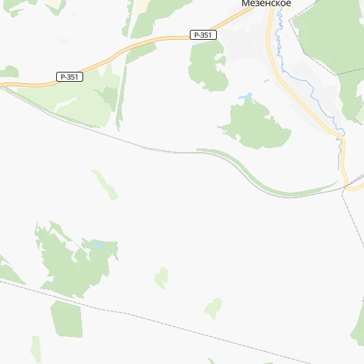
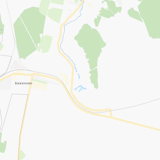
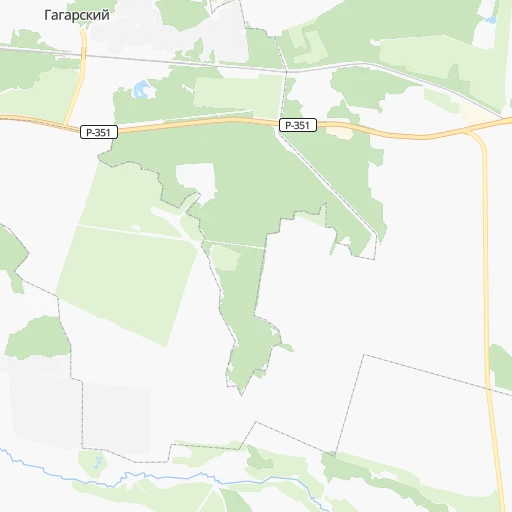
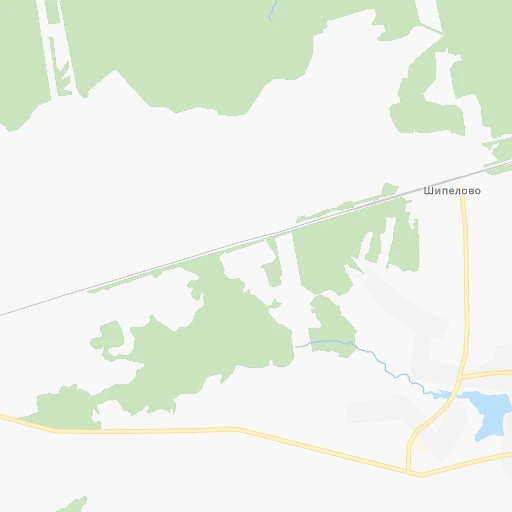
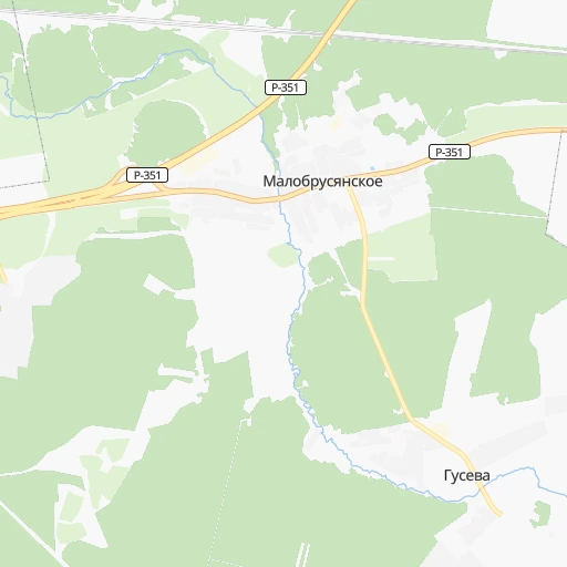
Roadmap (route) to go from Stantsiya Bazhenovo to Bakal detailed above, you can also see the course layout on the map.
While doing trip Stantsiya Bazhenovo - Bakal by car, the calculated route ends at a distance , or more straight.
Distance and duration of the route between Stantsiya Bazhenovo and Bakal
Calculation of distance and route from Bakal to Stantsiya Bazhenovo :
255.1346.6 km5h4mn
Continue 0h0mn 47 mTurn right onto Привокзальная улица 0h6mn 5.3 kmTurn right onto 65К-0610000 0h7mn 5.9 kmTurn left onto Советская улица 0h7mn 6.8 kmTurn right onto улица Ленина and drive toward Екатеринбург, Тюмень 0h1mn 1.6 kmTurn left onto с. Большебрусянское — с. Колюткино and drive toward с.Колюткино 0h1mn 1.2 kmTurn right onto с. Большебрусянское — с. Колюткино 0h4mn 2.7 kmTurn right 0h0mn 102 mTurn slight left 0h0mn 133 mTurn left onto Красноармейская улица 0h0mn 171 mTurn right onto Красноармейская улица 0h0mn 70 mKeep left onto Новая улица 0h3mn 1.7 kmTurn left onto 65К-2511000 0h9mn 11.7 kmKeep left onto 65К-2511000 0h4mn 5.6 kmTurn left onto 65К-2511120 0h1mn 580 mTurn right onto улица Ленина 0h7mn 5.6 kmTurn slight left onto 65К-2501000 0h2mn 1.7 kmKeep left and drive toward Челябинск, Сысерть 1h52mn 60.8 kmTurn right onto 75К-016 and drive toward Касли, Кыштым, Миасс 1h9mn 83.2 kmContinue onto улица Пархоменко 1h34mn 41.0 kmTurn right onto Молодёжная улица 0h1mn 470 mTurn left onto улица Богдана Хмельницкого 0h1mn 1.1 kmTurn right onto Миасский тракт 0h27mn 32.1 kmTurn left 0h0mn 152 mTurn right onto проспект Мира 0h4mn 3.4 kmAt roundabout, take exit 2 onto проспект имени Ю.А.Гагарина 1-я линия 0h2mn 1.9 kmKeep left 0h4mn 4.0 kmTurn left 0h3mn 4.2 kmKeep right 0h0mn 462 mContinue onto «Урал» 0h27mn 34.7 kmKeep right onto 75К-533 0h10mn 11.0 kmKeep left 0h1mn 1.1 kmKeep left 0h0mn 59 mKeep right 0h0mn 65 mContinue onto 75К-198 0h11mn 13.7 kmContinue 0h2mn 2.2 kmTurn right onto улица 50 лет ВЛКСМ 0h0mn 150 mArrive at destination 0h0mn 0 m
Travel from Stantsiya Bazhenovo (Chelyabinsk) to a selection of major cities.
Distances from Stantsiya Bazhenovo to biggest cities in Sverdlovsk
- Sukhoy Log,36,329 inhabitants.45 km
- Kushva,34,058 inhabitants.199 km
- Artemovskiy,33,700 inhabitants.76 km
- Severoural'sk,33,500 inhabitants.390 km
- Bogdanovich,32,270 inhabitants.42 km
- Karpinsk,30,070 inhabitants.348 km
- Kamyshlov,28,006 inhabitants.83 km
- Zarechnyy,27,758 inhabitants.9 km
- Krasnoural'sk,27,257 inhabitants.198 km
- Nev'yansk,25,900 inhabitants.110 km
- Lesnoy,23,834 inhabitants.232 km
- Kirovgrad,22,685 inhabitants.111 km
- Nizhnyaya Tura,22,600 inhabitants.231 km
- Sysert',21,942 inhabitants.42 km
- Sredneuralsk,20,169 inhabitants.62 km
Other major cities in country :
- Barnaul [04], 599,579 inhabitants. 1,469 km
- Vladivostok [59], 587,022 inhabitants. 5,028 km
- Irkutsk [20], 586,695 inhabitants. 2,770 km
- Khabarovsk [30], 579,000 inhabitants. 4,818 km
- Khabarovsk Vtoroy [30], 578,303 inhabitants. 4,824 km
- Orenburg [55], 550,204 inhabitants. 686 km
- Novokuznetsk [29], 539,616 inhabitants. 1,656 km
- Ryazan' [62], 520,173 inhabitants. 1,375 km
- Tyumen [78], 519,119 inhabitants. 257 km
- Lipetsk [43], 515,655 inhabitants. 1,469 km
- Penza [57], 512,602 inhabitants. 1,114 km
- Naberezhnyye Chelny [73], 509,870 inhabitants. 565 km
- Kalininskiy [42], 504,641 inhabitants. 1,827 km
- Astrakhan [07], 502,533 inhabitants. 1,474 km
- Makhachkala [17], 497,959 inhabitants. 1,819 km
- Tomsk [75], 485,519 inhabitants. 1,439 km
- Kemerovo [29], 477,090 inhabitants. 1,536 km
- Tula [76], 468,825 inhabitants. 1,517 km
- Kirov [33], 457,383 inhabitants. 726 km
- Cheboksary [16], 446,781 inhabitants. 870 km
Route from Bakal to major cities (Russia).
- Distance Bakal Moscow1,339 km
- Distance Bakal Saint Petersburg1,779 km
- Distance Bakal Novosibirsk1,533 km
- Distance Bakal Yekaterinburg241 km
- Distance Bakal Nizhniy Novgorod941 km
- Distance Bakal Samara597 km
- Distance Bakal Omsk929 km
- Distance Bakal Kazan620 km
- Distance Bakal Rostov-na-Donu1,579 km
- Distance Bakal Ufa183 km
- Distance Bakal Volgograd1,200 km
- Distance Bakal Perm376 km
- Distance Bakal Krasnoyarsk2,130 km
- Distance Bakal Saratov931 km
- Distance Bakal Voronezh1,350 km
- Distance Bakal Tol'yatti635 km
- Distance Bakal Krasnodar1,786 km
- Distance Bakal Ulyanovsk674 km
- Distance Bakal Izhevsk409 km
- Distance Bakal Yaroslavl1,203 km
Nearest cities to Stantsiya Bazhenovo :
- Yekaterinburg, 1,349,772 inhabitants. 48 km
- Chelyabinsk, 1,062,919 inhabitants. 176 km
- Nizhny Tagil, 381,116 inhabitants. 157 km
- Zlatoust, 191,366 inhabitants. 204 km
- Kamensk-Ural'skiy, 182,500 inhabitants. 49 km
- Miass, 167,500 inhabitants. 203 km
- Pervoural'sk, 133,600 inhabitants. 89 km
- Serov, 98,438 inhabitants. 323 km
- Novoural'sk, 93,849 inhabitants. 97 km
- Troitsk, 82,338 inhabitants. 293 km
- Ozersk, 81,023 inhabitants. 116 km
- Shadrinsk, 79,479 inhabitants. 157 km
- Asbest, 74,583 inhabitants. 32 km
- Kopeysk, 70,780 inhabitants. 180 km
- Beloretsk, 70,468 inhabitants. 361 km
- Polevskoy, 65,770 inhabitants. 79 km
- Revda, 61,785 inhabitants. 88 km
- Verkhnyaya Pyshma, 59,061 inhabitants. 55 km
- Lesnoy, 55,100 inhabitants. 143 km
- Snezhinsk, 50,086 inhabitants. 82 km
- Satka, 49,384 inhabitants. 238 km
- Verkhnyaya Salda, 48,992 inhabitants. 155 km
- Beryozovsky, 47,000 inhabitants. 40 km
- Chebarkul', 46,502 inhabitants. 205 km
- Alapayevsk, 44,000 inhabitants. 126 km
- Kachkanar, 43,983 inhabitants. 246 km
- Irbit, 41,647 inhabitants. 146 km
- Kyshtym, 41,625 inhabitants. 124 km
- Korkino, 40,046 inhabitants. 205 km
- Yuzhnoural'sk, 39,200 inhabitants. 255 km
- Uchaly, 37,788 inhabitants. 291 km
- Rezh, 37,420 inhabitants. 71 km
- Sukhoy Log, 36,329 inhabitants. 45 km
- Trekhgornyy, 34,500 inhabitants. 280 km
- Kushva, 34,058 inhabitants. 199 km
- Artemovskiy, 33,700 inhabitants. 76 km
- Verkhniy Ufaley, 33,245 inhabitants. 102 km
- Bogdanovich, 32,270 inhabitants. 42 km
- Yemanzhelinsk, 29,849 inhabitants. 220 km
- Kamyshlov, 28,006 inhabitants. 83 km
- Zarechnyy, 27,758 inhabitants. 9 km
- Krasnoural'sk, 27,257 inhabitants. 198 km
- Nev'yansk, 25,900 inhabitants. 110 km
- Lesnoy, 23,834 inhabitants. 232 km
- Kirovgrad, 22,685 inhabitants. 111 km
- Nizhnyaya Tura, 22,600 inhabitants. 231 km
- Sysert', 21,942 inhabitants. 42 km
- Bakal, 21,762 inhabitants. 256 km
- Sredneuralsk, 20,169 inhabitants. 62 km
- Kusa, 19,818 inhabitants. 196 km
Location Stantsiya Bazhenovo (Sverdlovsk) :
| Country flag |  |
| Location | Stantsiya Bazhenovo |
| State | Sverdlovsk |
| County | |
| Country | Russia |
| Country code / ISO 2 | RU |
| Latitude | 56.7305000 |
| Longitude | 61.3707000 |
| Altitude | 0 meters |
| Time zone | Asia/Yekaterinburg |
Location Bakal (Chelyabinsk) :
| Country flag | |
| Location | Bakal |
| State | Chelyabinsk |
| County | |
| Country | Russia |
| Country code / ISO 2 | RU |
| Latitude | 54.9417000 |
| Longitude | 58.8083000 |
| Altitude | 0 meters |
| Time zone | Asia/Yekaterinburg |