

How to get from Maslyanino (Novosibirsk Oblast) to Altayskoye (Altai Krai)
Calculate route from Maslyanino (Novosibirsk Oblast, Russia) to Altayskoye (Altai Krai, Russia).
The flight distance (as the crow flies) between Maslyanino and Altayskoye is 275.9 km.
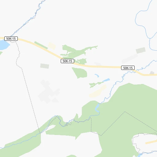
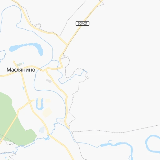
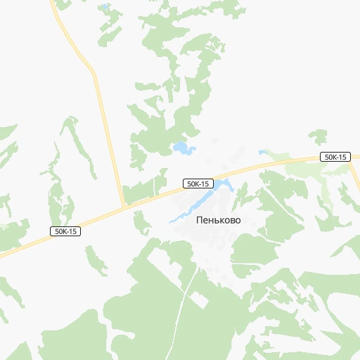
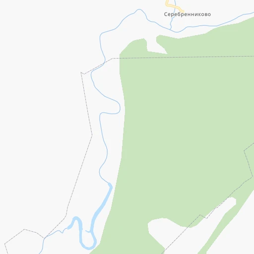
Roadmap (route) to go from Maslyanino to Altayskoye detailed above, you can also see the course layout on the map.
While doing trip Maslyanino - Altayskoye by car, the calculated route ends at a distance , or more straight.
Distance and duration of the route between Maslyanino and Altayskoye
Calculation of distance and route from Altayskoye to Maslyanino :
275.9392.3 km6h50mn
Continue onto Садовая улица 0h0mn 200 mKeep left 0h0mn 11 mTurn slight left onto Коммунистическая улица 1h4mn 60.2 kmKeep left onto 50Н-3004 0h0mn 101 mContinue onto улица Спирякова 0h5mn 4.1 kmTurn left onto «Чуйский тракт» 1h18mn 104.1 kmKeep right onto «Чуйский тракт» and take Р-256 toward Улан-Батор, Бийск 2h53mn 133.1 kmKeep right and drive toward Бийск (Шубенский переулок) 0h0mn 516 mContinue 0h6mn 6.3 kmTurn right onto улица Максима Горького 0h21mn 21.0 kmAt roundabout, take exit 2 onto Катунское — Красный Яр — Алтайское — граница Республики Алтай 1h57mn 57.2 kmContinue onto Советская улица 0h3mn 3.2 kmTurn right 0h0mn 50 mTurn right onto Советская улица 0h2mn 1.5 kmTurn right onto улица Карла Маркса 0h0mn 130 mTurn left onto улица Карла Маркса 0h1mn 542 mArrive at destination 0h0mn 0 m
Travel from Maslyanino (Altai Krai) to a selection of major cities.
Distances from Maslyanino to biggest cities in Novosibirsk Oblast
Other major cities in country :
- Barnaul [04], 599,579 inhabitants. 113 km
- Vladivostok [59], 587,022 inhabitants. 3,636 km
- Irkutsk [20], 586,695 inhabitants. 1,350 km
- Khabarovsk [30], 579,000 inhabitants. 3,512 km
- Khabarovsk Vtoroy [30], 578,303 inhabitants. 3,517 km
- Orenburg [55], 550,204 inhabitants. 1,954 km
- Novokuznetsk [29], 539,616 inhabitants. 200 km
- Ryazan' [62], 520,173 inhabitants. 2,830 km
- Tyumen [78], 519,119 inhabitants. 1,207 km
- Lipetsk [43], 515,655 inhabitants. 2,914 km
- Penza [57], 512,602 inhabitants. 2,549 km
- Naberezhnyye Chelny [73], 509,870 inhabitants. 2,017 km
- Kalininskiy [42], 504,641 inhabitants. 3,214 km
- Astrakhan [07], 502,533 inhabitants. 2,684 km
- Makhachkala [17], 497,959 inhabitants. 2,937 km
- Tomsk [75], 485,519 inhabitants. 245 km
- Kemerovo [29], 477,090 inhabitants. 163 km
- Tula [76], 468,825 inhabitants. 2,973 km
- Kirov [33], 457,383 inhabitants. 2,151 km
- Cheboksary [16], 446,781 inhabitants. 2,326 km
Route from Altayskoye to major cities (Russia).
- Distance Altayskoye Moscow3,098 km
- Distance Altayskoye Saint Petersburg3,433 km
- Distance Altayskoye Novosibirsk379 km
- Distance Altayskoye Yekaterinburg1,681 km
- Distance Altayskoye Nizhniy Novgorod2,696 km
- Distance Altayskoye Samara2,360 km
- Distance Altayskoye Omsk860 km
- Distance Altayskoye Kazan2,386 km
- Distance Altayskoye Rostov-na-Donu3,277 km
- Distance Altayskoye Chelyabinsk1,612 km
- Distance Altayskoye Ufa1,961 km
- Distance Altayskoye Volgograd2,885 km
- Distance Altayskoye Perm1,958 km
- Distance Altayskoye Krasnoyarsk669 km
- Distance Altayskoye Saratov2,677 km
- Distance Altayskoye Voronezh3,122 km
- Distance Altayskoye Tol'yatti2,406 km
- Distance Altayskoye Krasnodar3,443 km
- Distance Altayskoye Ulyanovsk2,453 km
- Distance Altayskoye Izhevsk2,130 km
Nearest cities to Maslyanino :
- Novosibirsk, 1,419,007 inhabitants. 113 km
- Barnaul, 599,579 inhabitants. 113 km
- Novokuznetsk, 539,616 inhabitants. 200 km
- Tomsk, 485,519 inhabitants. 245 km
- Kemerovo, 477,090 inhabitants. 163 km
- Prokop'yevsk, 219,000 inhabitants. 171 km
- Biysk, 215,430 inhabitants. 212 km
- Seversk, 109,844 inhabitants. 255 km
- Leninsk-Kuznetsky, 109,023 inhabitants. 132 km
- Kiselevsk, 104,000 inhabitants. 164 km
- Berdsk, 90,250 inhabitants. 85 km
- Yurga, 84,220 inhabitants. 159 km
- Anzhero-Sudzhensk, 82,526 inhabitants. 225 km
- Belovo, 75,764 inhabitants. 136 km
- Iskitim, 61,827 inhabitants. 67 km
- Novoaltaysk, 61,050 inhabitants. 107 km
- Berezovskiy, 55,000 inhabitants. 189 km
- Gorno-Altaysk, 54,917 inhabitants. 289 km
- Zarinsk, 52,209 inhabitants. 86 km
- Akademgorodok, 50,000 inhabitants. 91 km
- Kamen'-na-Obi, 44,564 inhabitants. 197 km
- Topki, 30,572 inhabitants. 138 km
- Polysayevo, 28,026 inhabitants. 135 km
- Aleysk, 28,019 inhabitants. 227 km
- Asino, 27,070 inhabitants. 320 km
- Gur'yevsk, 25,000 inhabitants. 112 km
- Tayga, 24,328 inhabitants. 211 km
- Ob', 24,238 inhabitants. 120 km
- Toguchin, 21,886 inhabitants. 100 km
- Linevo, 21,816 inhabitants. 56 km
- Cherepanovo, 20,125 inhabitants. 56 km
- Yuzhnyy, 19,515 inhabitants. 126 km
- Tal'menka, 18,900 inhabitants. 72 km
- Kedrovka, 17,752 inhabitants. 177 km
- Bolotnoye, 17,704 inhabitants. 148 km
- Promyshlennaya, 17,216 inhabitants. 112 km
- Krasnoobsk, 16,894 inhabitants. 101 km
- Kochenevo, 16,446 inhabitants. 150 km
- Mayma, 15,428 inhabitants. 283 km
- Suzun, 15,365 inhabitants. 139 km
- Novosilikatnyy, 15,241 inhabitants. 121 km
- Yashkino, 15,197 inhabitants. 187 km
- Pavlovsk, 14,827 inhabitants. 140 km
- Belokurikha, 14,733 inhabitants. 266 km
- Bachatskiy, 14,618 inhabitants. 125 km
- Gramoteino, 14,010 inhabitants. 142 km
- Altayskoye, 13,852 inhabitants. 276 km
- Pospelikha, 13,586 inhabitants. 312 km
- Inskoy, 13,326 inhabitants. 145 km
- Yaya, 13,238 inhabitants. 251 km
Location Maslyanino (Novosibirsk Oblast) :
| Country flag |  |
| Location | Maslyanino |
| State | Novosibirsk Oblast |
| County | |
| Country | Russia |
| Country code / ISO 2 | RU |
| Latitude | 54.3436100 |
| Longitude | 84.2111100 |
| Altitude | 0 meters |
| Time zone | Asia/Novosibirsk |
Location Altayskoye (Altai Krai) :
| Country flag | |
| Location | Altayskoye |
| State | Altai Krai |
| County | |
| Country | Russia |
| Country code / ISO 2 | RU |
| Latitude | 51.9533300 |
| Longitude | 85.3325000 |
| Altitude | 0 meters |
| Time zone | Asia/Barnaul |