


How to get from Songwa (Shinyanga) to Chato (Geita)
Calculate route from Songwa (Shinyanga, Tanzania) to Chato (Geita, Tanzania).
The flight distance (as the crow flies) between Songwa and Chato is 217.3 km.
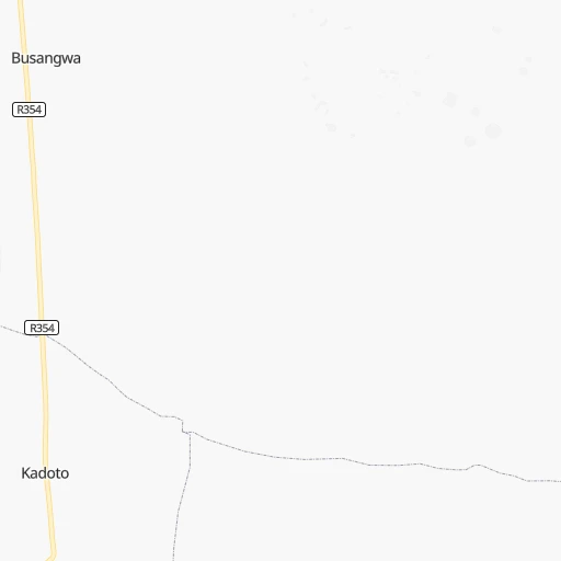
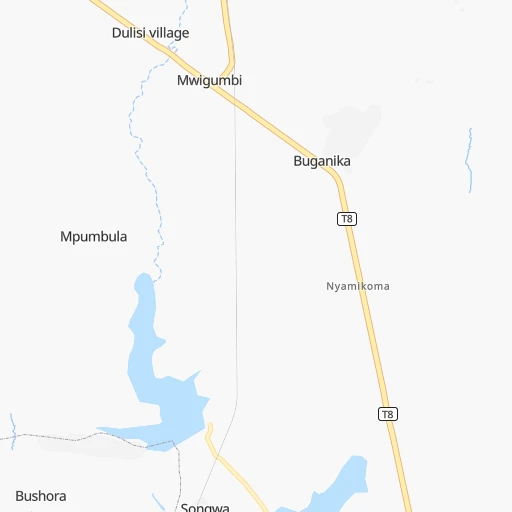
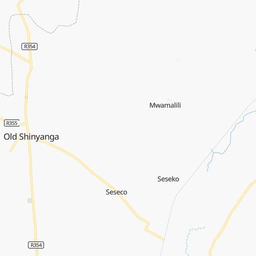
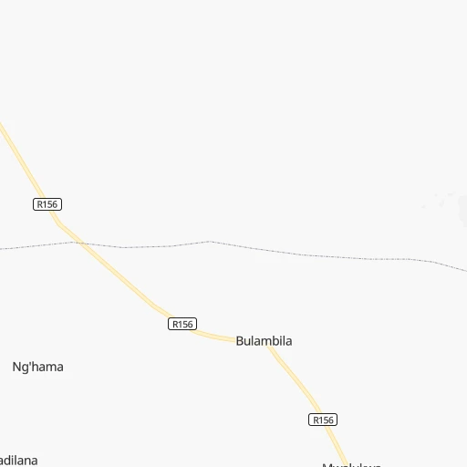
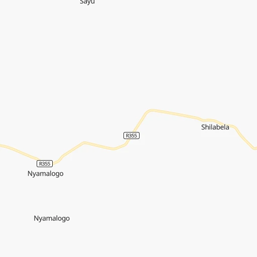
Roadmap (route) to go from Songwa to Chato detailed above, you can also see the course layout on the map.
While doing trip Songwa - Chato by car, the calculated route ends at a distance , or more straight.
Distance and duration of the route between Songwa and Chato
Calculation of distance and route from Chato to Songwa :
217.3324.6 km6h56mn
Continue 0h4mn 1.1 kmTurn right 0h3mn 1.6 kmKeep right 0h3mn 1.5 kmKeep right 0h0mn 47 mKeep left 0h1mn 388 mTurn sharp left 0h3mn 1.3 kmKeep left 0h4mn 2.0 kmTurn slight right 0h0mn 199 mTurn left 0h1mn 367 mTurn right 0h0mn 82 mTurn sharp left onto T8 2h34mn 109.6 kmAt roundabout, take exit 1 onto T4 1h6mn 43.6 kmAt roundabout, take exit 2 onto Geita Road 1h46mn 54.1 kmTurn left 0h2mn 1.9 kmTurn sharp left onto Geita Road 1h33mn 35.8 kmTurn right 0h5mn 3.9 kmKeep left 0h0mn 234 mTurn left 0h2mn 817 mTurn slight left 0h11mn 5.4 kmTurn slight left 0h0mn 94 mKeep left 0h0mn 91 mTurn left 0h0mn 82 mTurn sharp right 0h0mn 44 mTurn left 0h1mn 297 mKeep left 0h0mn 121 mKeep left 0h1mn 468 mTurn right 0h1mn 323 mTurn slight left 0h1mn 286 mKeep right 0h7mn 3.3 kmKeep left 0h1mn 276 mTurn left 0h0mn 110 mKeep right 0h1mn 305 mTurn slight right 0h0mn 83 mKeep left 0h2mn 848 mKeep right 0h1mn 613 mKeep left 0h0mn 21 mKeep left 0h0mn 69 mKeep right 0h0mn 166 mKeep left 0h0mn 114 mKeep left 0h0mn 187 mKeep right 0h1mn 459 mKeep right 0h2mn 1.2 kmKeep left 0h0mn 45 mKeep right 0h4mn 2.2 kmKeep right 0h2mn 872 mKeep left 0h2mn 810 mKeep left 0h7mn 3.5 kmKeep left 0h0mn 164 mTurn left 0h5mn 2.5 kmTurn right onto R112 1h35mn 38.7 kmKeep right 0h0mn 193 mKeep right 0h3mn 1.4 kmTurn right onto R166 0h1mn 471 mTurn left 0h0mn 45 mArrive at destination 0h0mn 0 m
Travel from Songwa (Geita) to a selection of major cities.
Distances from Songwa to biggest cities in Shinyanga
Other major cities in country :
Route from Chato to major cities (Tanzania).
- Distance Chato Dar es Salaam954 km
- Distance Chato Mwanza127 km
- Distance Chato Zanzibar913 km
- Distance Chato Arusha553 km
- Distance Chato Mbeya722 km
- Distance Chato Morogoro803 km
- Distance Chato Tanga858 km
- Distance Chato Dodoma591 km
- Distance Chato Kigoma344 km
- Distance Chato Moshi624 km
- Distance Chato Tabora290 km
- Distance Chato Songea993 km
- Distance Chato Musoma259 km
- Distance Chato Iringa718 km
- Distance Chato Katumba762 km
- Distance Chato Shinyanga216 km
- Distance Chato Mtwara1,260 km
- Distance Chato Kilosa744 km
- Distance Chato Sumbawanga593 km
- Distance Chato Bagamoyo898 km
Nearest cities to Songwa :
- Mwanza, 436,801 inhabitants. 131 km
- Dodoma, 180,541 inhabitants. 385 km
- Tabora, 145,292 inhabitants. 184 km
- Musoma, 121,119 inhabitants. 227 km
- Shinyanga, 107,362 inhabitants. 20 km
- Ushirombo, 95,052 inhabitants. 173 km
- Mpanda, 73,338 inhabitants. 416 km
- Bukoba, 70,628 inhabitants. 308 km
- Singida, 62,432 inhabitants. 199 km
- Uyovu, 60,849 inhabitants. 223 km
- Buseresere, 52,870 inhabitants. 191 km
- Bunda, 50,944 inhabitants. 168 km
- Katoro, 49,691 inhabitants. 188 km
- Geita, 40,000 inhabitants. 160 km
- Nguruka, 39,135 inhabitants. 327 km
- Kahama, 36,014 inhabitants. 108 km
- Igunga, 35,644 inhabitants. 95 km
- Misungwi, 35,530 inhabitants. 88 km
- Masumbwe, 34,780 inhabitants. 149 km
- Babati, 34,291 inhabitants. 260 km
- Biharamulo, 34,038 inhabitants. 264 km
- Somanda, 33,932 inhabitants. 51 km
- Bariadi, 33,865 inhabitants. 95 km
- Tarime, 33,094 inhabitants. 259 km
- Tumbi, 32,900 inhabitants. 193 km
- Bugarama, 32,494 inhabitants. 340 km
- Kisesa, 29,804 inhabitants. 85 km
- Kibondo, 28,666 inhabitants. 311 km
- Chato, 27,776 inhabitants. 218 km
- Kasamwa, 27,681 inhabitants. 141 km
- Sikonge, 27,113 inhabitants. 250 km
- Mtinko, 26,725 inhabitants. 187 km
- Nzega, 26,584 inhabitants. 86 km
- Magugu, 26,131 inhabitants. 256 km
- Sepuka, 25,657 inhabitants. 178 km
- Shelui, 24,817 inhabitants. 121 km
- Kakonko, 24,688 inhabitants. 285 km
- Nyalikungu, 24,648 inhabitants. 47 km
- Sirari, 24,317 inhabitants. 274 km
- Old Shinyanga, 23,747 inhabitants. 13 km
- Urambo, 23,724 inhabitants. 237 km
- Mgandu, 23,718 inhabitants. 279 km
- Songwa, 23,618 inhabitants. 0 km
- Kiomboi, 23,519 inhabitants. 126 km
- Kondoa, 23,518 inhabitants. 295 km
- Mwadui, 23,296 inhabitants. 10 km
- Igugunu, 22,810 inhabitants. 170 km
- Ngudu, 22,658 inhabitants. 65 km
- Lalago, 22,551 inhabitants. 49 km
- Tinde, 22,082 inhabitants. 54 km
Location Songwa (Shinyanga) :
| Country flag |  |
| Location | Songwa |
| State | Shinyanga |
| County | Kishapu District |
| Country | Tanzania |
| Country code / ISO 2 | TZ |
| Latitude | -3.5166700 |
| Longitude | 33.5166700 |
| Altitude | 0 meters |
| Time zone | Africa/Dar_es_Salaam |
Location Chato (Geita) :
| Country flag | |
| Location | Chato |
| State | Geita |
| County | Chato District |
| Country | Tanzania |
| Country code / ISO 2 | TZ |
| Latitude | -2.6377800 |
| Longitude | 31.7669400 |
| Altitude | 0 meters |
| Time zone | Africa/Dar_es_Salaam |