

How to get from Bokra Railway Station (Islāmābād) to Kohat (Khyber Pakhtunkhwa)
Calculate route from Bokra Railway Station (Islāmābād, Pakistan) to Kohat (Khyber Pakhtunkhwa, Pakistan).
The flight distance (as the crow flies) between Bokra Railway Station and Kohat is 142.4 km.
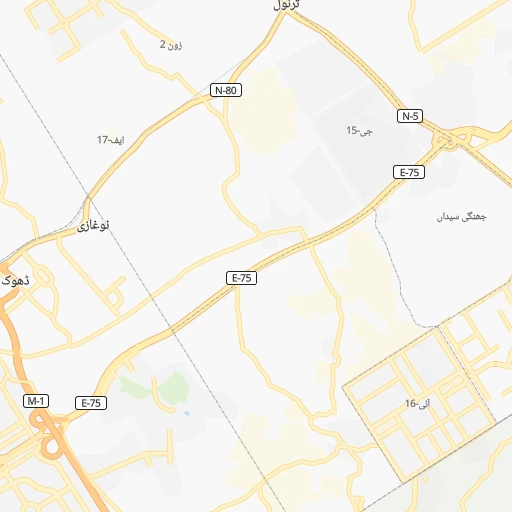
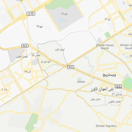
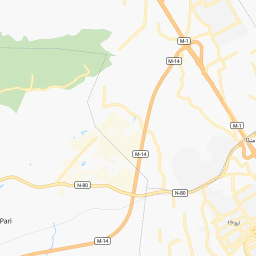
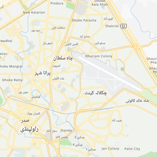
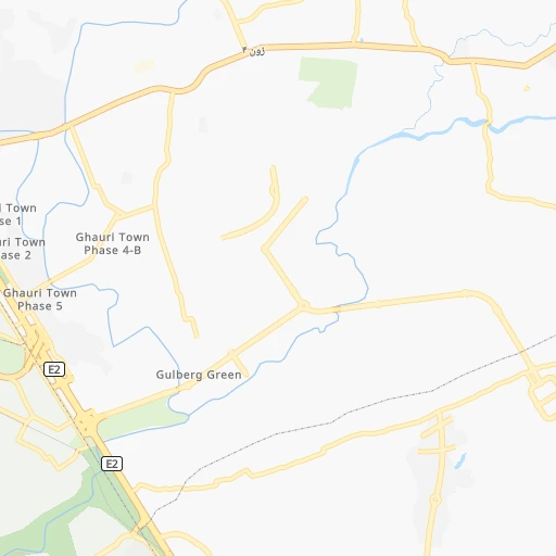
Roadmap (route) to go from Bokra Railway Station to Kohat detailed above, you can also see the course layout on the map.
While doing trip Bokra Railway Station - Kohat by car, the calculated route ends at a distance , or more straight.
Distance and duration of the route between Bokra Railway Station and Kohat
Calculation of distance and route from Kohat to Bokra Railway Station :
142.4164.3 km2h24mn
Continue 0h2mn 582 mTurn right 0h1mn 389 mTurn slight right 0h0mn 9 mTurn left 0h3mn 1.6 kmAt roundabout, take exit 2 0h6mn 8.9 kmTurn left 0h0mn 39 mTurn right 0h2mn 1.6 kmTurn right 0h0mn 57 mTurn left 0h0mn 88 mTurn right 0h1mn 620 mTurn left onto اسٹریٹ 22 0h1mn 875 mTurn slight left onto اسٹریٹ 22 0h3mn 2.3 kmTurn left onto اسلام آباد - کوہاٹ سڑک 1h8mn 79.0 kmKeep right 0h4mn 3.6 kmTurn left 0h0mn 38 mTurn right onto اسلام آباد - کوہاٹ سڑک 0h3mn 3.9 kmTurn right onto اسلام آباد - کوہاٹ سڑک 1h50mn 60.4 kmTurn slight right 0h0mn 146 mTurn left 0h0mn 179 mTurn right 0h0mn 81 mArrive at destination 0h0mn 0 m
Travel from Bokra Railway Station (Khyber Pakhtunkhwa) to a selection of major cities.
Distances from Bokra Railway Station to biggest cities in Islāmābād
Other major cities in country :
- Jhang Sadr [04], 341,210 inhabitants. 270 km
- Gujrat [04], 301,506 inhabitants. 155 km
- Mardan [03], 300,424 inhabitants. 107 km
- Malir Cantonment [05], 300,000 inhabitants. 1,117 km
- Kasur [04], 290,643 inhabitants. 311 km
- Mingora [03], 279,914 inhabitants. 140 km
- Dera Ghazi Khan [04], 236,093 inhabitants. 456 km
- Sahiwal [04], 235,695 inhabitants. 330 km
- Nawabshah [05], 229,504 inhabitants. 934 km
- Okara [04], 223,648 inhabitants. 317 km
- Mirpur Khas [05], 215,657 inhabitants. 980 km
- Chiniot [04], 201,781 inhabitants. 212 km
- Shahkot [04], 200,000 inhabitants. 234 km
- Kamoke [04], 199,531 inhabitants. 217 km
- Saddiqabad [04], 189,876 inhabitants. 652 km
- Burewala [04], 183,915 inhabitants. 387 km
- Jacobabad [05], 170,588 inhabitants. 737 km
- Muzaffargarh [04], 165,192 inhabitants. 431 km
- Muridke [04], 164,246 inhabitants. 236 km
- Jhelum [04], 164,080 inhabitants. 104 km
Route from Kohat to major cities (Pakistan).
- Distance Kohat Karachi1,062 km
- Distance Kohat Lahore353 km
- Distance Kohat Faisalabad286 km
- Distance Kohat Rawalpindi148 km
- Distance Kohat Multan377 km
- Distance Kohat Hyderabad959 km
- Distance Kohat Gujranwala301 km
- Distance Kohat Rahim Yar Khan585 km
- Distance Kohat Quetta565 km
- Distance Kohat Muzaffarabad206 km
- Distance Kohat Kotli228 km
- Distance Kohat Islamabad149 km
- Distance Kohat Bahawalpur466 km
- Distance Kohat Sargodha202 km
- Distance Kohat Sialkot312 km
- Distance Kohat Sukkur700 km
- Distance Kohat Larkana739 km
- Distance Kohat Shekhupura316 km
- Distance Kohat Bhimbar254 km
- Distance Kohat Jhang Sadr270 km
Nearest cities to Bokra Railway Station :
- Lahore, 6,310,888 inhabitants. 264 km
- Faisalabad, 2,506,595 inhabitants. 247 km
- Rawalpindi, 1,743,101 inhabitants. 7 km
- Gujranwala, 1,384,471 inhabitants. 199 km
- Peshawar, 1,218,773 inhabitants. 137 km
- Muzaffarabad, 725,000 inhabitants. 94 km
- Battagram, 700,000 inhabitants. 117 km
- Kotli, 640,000 inhabitants. 86 km
- Islamabad, 601,600 inhabitants. 12 km
- Sargodha, 542,603 inhabitants. 174 km
- Sialkot, 477,396 inhabitants. 192 km
- Shekhupura, 361,303 inhabitants. 233 km
- Bhimbar, 342,900 inhabitants. 125 km
- Jhang Sadr, 341,210 inhabitants. 270 km
- Gujrat, 301,506 inhabitants. 155 km
- Mardan, 300,424 inhabitants. 107 km
- Kasur, 290,643 inhabitants. 311 km
- Mingora, 279,914 inhabitants. 140 km
- Sahiwal, 235,695 inhabitants. 330 km
- Okara, 223,648 inhabitants. 317 km
- Chiniot, 201,781 inhabitants. 212 km
- Shahkot, 200,000 inhabitants. 234 km
- Kamoke, 199,531 inhabitants. 217 km
- Muridke, 164,246 inhabitants. 236 km
- Jhelum, 164,080 inhabitants. 104 km
- Hafizabad, 153,656 inhabitants. 185 km
- Kohat, 151,427 inhabitants. 143 km
- Gojra, 139,726 inhabitants. 277 km
- Mandi Bahauddin, 129,733 inhabitants. 125 km
- Daska Kalan, 126,924 inhabitants. 193 km
- Abbottabad, 120,000 inhabitants. 61 km
- Jaranwala, 119,785 inhabitants. 259 km
- Kamalia, 112,426 inhabitants. 325 km
- Khushab, 102,793 inhabitants. 160 km
- Wazirabad, 102,444 inhabitants. 169 km
- Dera Ismail Khan, 101,616 inhabitants. 280 km
- Chakwal, 101,200 inhabitants. 78 km
- Swabi, 97,363 inhabitants. 73 km
- Nowshera Cantonment, 96,766 inhabitants. 100 km
- Charsadda, 95,319 inhabitants. 129 km
- Jalalpur Jattan, 93,883 inhabitants. 158 km
- Mianwali, 89,570 inhabitants. 179 km
- Mianke Mor, 86,900 inhabitants. 285 km
- Attock City, 85,479 inhabitants. 60 km
- Bhakkar, 81,950 inhabitants. 287 km
- Kharian, 81,435 inhabitants. 123 km
- Layyah, 78,954 inhabitants. 354 km
- Bhalwal, 74,744 inhabitants. 152 km
- Dipalpur, 74,640 inhabitants. 335 km
- Pattoki, 70,436 inhabitants. 302 km
Location Bokra Railway Station (Islāmābād) :
| Country flag |  |
| Location | Bokra Railway Station |
| State | Islāmābād |
| County | |
| Country | Pakistan |
| Country code / ISO 2 | PK |
| Latitude | 33.6284600 |
| Longitude | 72.9872000 |
| Altitude | 0 meters |
| Time zone | Asia/Karachi |
Location Kohat (Khyber Pakhtunkhwa) :
| Country flag | |
| Location | Kohat |
| State | Khyber Pakhtunkhwa |
| County | |
| Country | Pakistan |
| Country code / ISO 2 | PK |
| Latitude | 33.5819600 |
| Longitude | 71.4492900 |
| Altitude | 0 meters |
| Time zone | Asia/Karachi |