
How to get from Ngatayaw (Sagain) to Mudon (Mon)
Calculate route from Ngatayaw (Sagain, Myanmar) to Mudon (Mon, Myanmar).
The flight distance (as the crow flies) between Ngatayaw and Mudon is 663.1 km.
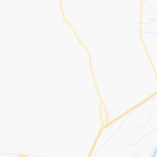
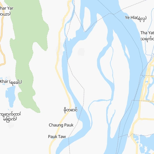
Roadmap (route) to go from Ngatayaw to Mudon detailed above, you can also see the course layout on the map.
While doing trip Ngatayaw - Mudon by car, the calculated route ends at a distance , or more straight.
Distance and duration of the route between Ngatayaw and Mudon
Calculation of distance and route from Mudon to Ngatayaw :
663.1750.7 km10h39mn
Continue 0h5mn 2.6 kmTurn slight left 0h1mn 475 mTurn slight left 0h0mn 48 mTurn right 0h2mn 837 mTurn left 0h0mn 15 mKeep left 0h1mn 503 mTurn right 0h12mn 14.4 kmAt roundabout, take exit 1 0h1mn 561 mKeep left onto စျေးလမ်း 0h1mn 1.3 kmTurn left onto မြို့မဈေးလမ်း 0h0mn 365 mContinue 0h0mn 38 mTurn right 0h2mn 2.2 kmAt roundabout, take exit 1 0h0mn 253 mKeep right 0h3mn 3.3 kmAt roundabout, take exit 1 0h2mn 2.9 kmAt roundabout, take exit 2 0h4mn 6.9 kmAt roundabout, take exit 2 5h33mn 451.6 kmKeep right onto 1 0h0mn 123 mContinue onto 1 0h25mn 24.7 kmTurn right onto 1 0h2mn 2.8 kmTurn left 1h45mn 22.3 kmTurn left 0h25mn 12.6 kmTurn left 0h28mn 32.8 kmTurn left onto မြို့ရှောင်လမ်း 0h5mn 5.8 kmTurn slight left 2h52mn 130.4 kmAt roundabout, take exit 3 0h0mn 473 mTurn right onto မြို့ရှောင်လမ်း 0h4mn 5.0 kmAt roundabout, take exit 2 onto 8 0h0mn 170 mTurn left onto 8 0h25mn 24.5 kmTurn right 0h1mn 548 mTurn left 0h0mn 83 mArrive at destination 0h0mn 0 m
Travel from Ngatayaw (Mon) to a selection of major cities.
Distances from Ngatayaw to biggest cities in Sagain
Other major cities in country :
- Taungoo [16], 106,945 inhabitants. 341 km
- Thayetmyo [15], 98,185 inhabitants. 300 km
- Pyinmana [18], 97,409 inhabitants. 249 km
- Magway [15], 96,954 inhabitants. 221 km
- Myitkyina [04], 90,894 inhabitants. 414 km
- Chauk [15], 90,870 inhabitants. 157 km
- Mogok [08], 90,843 inhabitants. 128 km
- Nyaunglebin [16], 89,626 inhabitants. 454 km
- Mudon [13], 89,123 inhabitants. 664 km
- Taungdwingyi [15], 70,094 inhabitants. 218 km
- Syriam [17], 69,448 inhabitants. 578 km
- Bogale [03], 68,938 inhabitants. 631 km
- Pyapon [03], 65,601 inhabitants. 631 km
- Yamethin [08], 59,867 inhabitants. 172 km
- Kanbe [17], 58,146 inhabitants. 584 km
- Kawthoung [12], 57,949 inhabitants. 1,363 km
- Myaydo [15], 57,897 inhabitants. 294 km
- Minbu [15], 57,342 inhabitants. 221 km
- Tharyarwady [16], 54,386 inhabitants. 478 km
- Thongwa [17], 52,496 inhabitants. 582 km
Route from Mudon to major cities (Myanmar).
- Distance Mudon Yangon178 km
- Distance Mudon Mandalay660 km
- Distance Mudon Nay Pyi Taw423 km
- Distance Mudon Kyain Seikgyi Township74 km
- Distance Mudon Bago179 km
- Distance Mudon Pathein325 km
- Distance Mudon Monywa706 km
- Distance Mudon Sittwe669 km
- Distance Mudon Meiktila551 km
- Distance Mudon Myeik435 km
- Distance Mudon Taunggyi510 km
- Distance Mudon Myingyan629 km
- Distance Mudon Dawei247 km
- Distance Mudon Pyay390 km
- Distance Mudon Hinthada287 km
- Distance Mudon Lashio744 km
- Distance Mudon Pakokku630 km
- Distance Mudon Pyin Oo Lwin657 km
- Distance Mudon Yenangyaung557 km
- Distance Mudon Taungoo329 km
Nearest cities to Ngatayaw :
- Mandalay, 1,208,099 inhabitants. 26 km
- Nay Pyi Taw, 925,000 inhabitants. 247 km
- Monywa, 182,011 inhabitants. 74 km
- Sittwe, 177,743 inhabitants. 365 km
- Meiktila, 177,442 inhabitants. 119 km
- Taunggyi, 160,115 inhabitants. 180 km
- Myingyan, 141,713 inhabitants. 71 km
- Lashio, 131,016 inhabitants. 226 km
- Pakokku, 126,938 inhabitants. 103 km
- Pyin Oo Lwin, 117,303 inhabitants. 65 km
- Yenangyaung, 110,553 inhabitants. 193 km
- Thayetmyo, 98,185 inhabitants. 300 km
- Pyinmana, 97,409 inhabitants. 249 km
- Magway, 96,954 inhabitants. 221 km
- Chauk, 90,870 inhabitants. 157 km
- Mogok, 90,843 inhabitants. 128 km
- Shwebo, 88,914 inhabitants. 70 km
- Sagaing, 78,739 inhabitants. 17 km
- Taungdwingyi, 70,094 inhabitants. 218 km
- Yamethin, 59,867 inhabitants. 172 km
- Myaydo, 57,897 inhabitants. 294 km
- Minbu, 57,342 inhabitants. 221 km
- Kyaukse, 50,480 inhabitants. 49 km
- Bhamo, 47,920 inhabitants. 294 km
- Mawlaik, 44,540 inhabitants. 239 km
- Hakha, 20,000 inhabitants. 242 km
- Loikaw, 17,293 inhabitants. 291 km
- Falam, 5,404 inhabitants. 246 km
Location Ngatayaw (Sagain) :
| Country flag |  |
| Location | Ngatayaw |
| State | Sagain |
| County | Sagaing District |
| Country | Myanmar |
| Country code / ISO 2 | MM |
| Latitude | 21.9495900 |
| Longitude | 95.8320900 |
| Altitude | 0 meters |
| Time zone | Asia/Yangon |
Location Mudon (Mon) :
| Country flag | |
| Location | Mudon |
| State | Mon |
| County | Mawlamyine District |
| Country | Myanmar |
| Country code / ISO 2 | MM |
| Latitude | 16.2562400 |
| Longitude | 97.7246000 |
| Altitude | 0 meters |
| Time zone | Asia/Yangon |