


How to get from Bāghpat Road (Uttar Pradesh) to Sirsa (Haryana)
Calculate route from Bāghpat Road (Uttar Pradesh, India) to Sirsa (Haryana, India).
The flight distance (as the crow flies) between Bāghpat Road and Sirsa is 228.0 km.
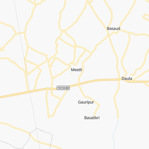
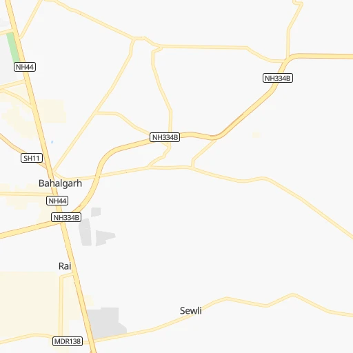
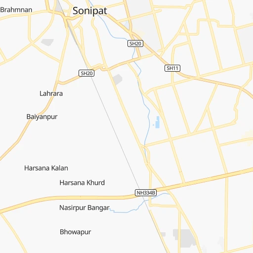
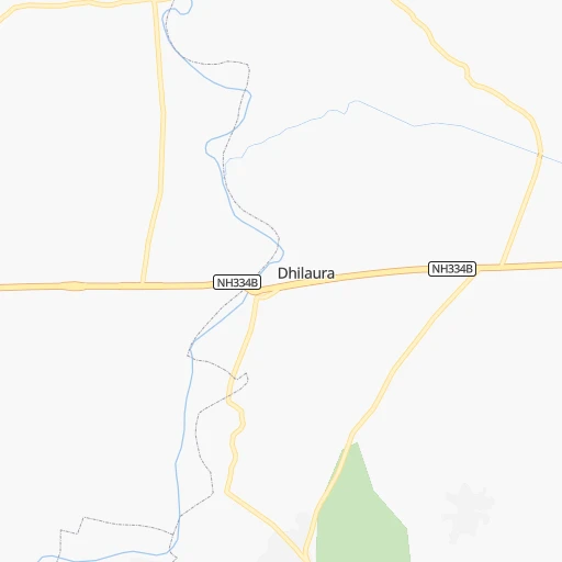
Roadmap (route) to go from Bāghpat Road to Sirsa detailed above, you can also see the course layout on the map.
While doing trip Bāghpat Road - Sirsa by car, the calculated route ends at a distance , or more straight.
Distance and duration of the route between Bāghpat Road and Sirsa
Calculation of distance and route from Sirsa to Bāghpat Road :
228.0254.1 km4h40mn
Continue 0h0mn 325 mTurn left onto Baghpat Road 0h1mn 1.0 kmTurn slight left onto Baghpat Road 0h1mn 1.2 kmContinue onto Baghpat Road 0h2mn 2.3 kmContinue onto Baghpat Road 0h2mn 1.8 kmTurn left 0h0mn 21 mKeep left 0h4mn 4.5 kmTurn left 0h0mn 448 mContinue onto Sonipat-Baghpat Road 0h8mn 9.0 kmTurn left onto Sonipat-Baghpat Road 0h4mn 4.5 kmContinue onto SH11 0h0mn 60 mKeep left onto SH11 0h6mn 6.3 kmContinue onto NH352A 0h2mn 1.8 kmTurn right 0h1mn 1.2 kmTurn slight left 0h5mn 5.6 kmContinue onto Jind - Gohana - Sonipat Expressway 0h16mn 18.7 kmTurn slight left onto NH352A 0h6mn 7.5 kmTurn left onto NH352A 0h3mn 3.1 kmTurn left onto old NH71A 0h0mn 380 mTurn right onto NH352A 0h0mn 20 mTurn right onto NH352A 0h1mn 983 mTurn slight left onto Jind - Gohana Road 1h37mn 43.2 kmTurn left onto NH352A 0h0mn 256 mTurn left onto NH352A 0h0mn 553 mTurn left onto NH352A 0h0mn 140 mAt roundabout, take exit 3 onto SH 10 0h3mn 2.9 kmKeep left onto SH 10 0h0mn 65 mTurn slight left onto SH 12 0h2mn 2.2 kmTurn right onto SH10 1h35mn 38.0 kmTurn left onto Hissar Ambala Road 0h0mn 372 mTurn right onto SH10 0h4mn 4.8 kmTurn slight left onto SH10 0h4mn 4.5 kmAt roundabout, take exit 2 onto SH10 0h15mn 16.3 kmTurn right 0h16mn 20.9 kmKeep left 0h0mn 16 mKeep left 0h1mn 869 mKeep left 0h6mn 6.9 kmContinue onto Sirsa Road 0h5mn 5.8 kmKeep left 0h20mn 26.5 kmKeep left 0h2mn 1.6 kmKeep left 0h6mn 6.8 kmAt roundabout, take exit 2 onto Ambedkar Chowk 0h0mn 327 mTurn left 0h0mn 208 mTurn right 0h0mn 179 mTurn right 0h0mn 52 mTurn left 0h0mn 87 mArrive at destination 0h0mn 0 m
Travel from Bāghpat Road (Haryana) to a selection of major cities.
Distances from Bāghpat Road to biggest cities in Uttar Pradesh
- Etawah,257,448 inhabitants.296 km
- Mau,246,050 inhabitants.705 km
- Hapur,242,920 inhabitants.54 km
- Farrukhabad,241,152 inhabitants.284 km
- Mirzapur,220,029 inhabitants.673 km
- Bulandshahr,198,612 inhabitants.83 km
- Sambhal,196,109 inhabitants.132 km
- Raebareli,186,433 inhabitants.493 km
- Bahraigh,182,218 inhabitants.450 km
- Amroha,176,253 inhabitants.116 km
- Jaunpur,169,572 inhabitants.642 km
- Fatehpur,166,480 inhabitants.484 km
- Loni,164,810 inhabitants.22 km
- Sitapur,164,435 inhabitants.367 km
- Unnao,161,671 inhabitants.414 km
- Budaun,161,555 inhabitants.207 km
- Orai,158,265 inhabitants.393 km
- Fyzabad,153,047 inhabitants.537 km
- Banda,152,218 inhabitants.491 km
- Lakhimpur,140,223 inhabitants.360 km
Other major cities in country :
- Pimpri [16], 1,284,606 inhabitants. 1,203 km
- Kalyan [16], 1,262,255 inhabitants. 1,160 km
- Thane [16], 1,261,517 inhabitants. 1,171 km
- Nowrangapur [21], 1,220,946 inhabitants. 1,206 km
- Faridabad [10], 1,220,229 inhabitants. 60 km
- Dombivli [16], 1,193,000 inhabitants. 1,164 km
- Rajkot [09], 1,177,362 inhabitants. 986 km
- Amritsar [23], 1,092,450 inhabitants. 377 km
- Visakhapatnam [02], 1,063,178 inhabitants. 1,392 km
- Teni [25], 1,034,724 inhabitants. 2,108 km
- Jabalpur [35], 1,030,168 inhabitants. 697 km
- Haora [28], 1,027,672 inhabitants. 1,313 km
- Aurangabad [16], 1,016,441 inhabitants. 1,029 km
- Shivaji Nagar [16], 1,000,000 inhabitants. 1,211 km
- Solapur [16], 997,281 inhabitants. 1,263 km
- Srinagar [12], 975,857 inhabitants. 618 km
- Chandigarh [05], 960,787 inhabitants. 205 km
- Coimbatore [25], 959,823 inhabitants. 1,998 km
- Jodhpur [24], 921,476 inhabitants. 517 km
- Madurai [25], 909,908 inhabitants. 2,120 km
Route from Sirsa to major cities (India).
- Distance Sirsa Mumbai1,185 km
- Distance Sirsa Delhi236 km
- Distance Sirsa Bengaluru1,863 km
- Distance Sirsa Kolkata1,541 km
- Distance Sirsa Chennai1,909 km
- Distance Sirsa Ahmedabad764 km
- Distance Sirsa Hyderabad1,397 km
- Distance Sirsa Pune1,232 km
- Distance Sirsa Surat954 km
- Distance Sirsa Kanpur625 km
- Distance Sirsa Jaipur300 km
- Distance Sirsa Navi Mumbai1,186 km
- Distance Sirsa Lucknow651 km
- Distance Sirsa Nagpur1,019 km
- Distance Sirsa Indore763 km
- Distance Sirsa Patna1,089 km
- Distance Sirsa Bhopal738 km
- Distance Sirsa Ludhiana173 km
- Distance Sirsa Tirunelveli2,333 km
- Distance Sirsa Agra393 km
Nearest cities to Bāghpat Road :
- Delhi, 10,927,986 inhabitants. 34 km
- Jaipur, 2,711,758 inhabitants. 270 km
- Ludhiana, 1,545,368 inhabitants. 258 km
- Agra, 1,430,055 inhabitants. 209 km
- Gorakhpur, 1,324,570 inhabitants. 166 km
- Meerut, 1,223,184 inhabitants. 41 km
- Faridabad, 1,220,229 inhabitants. 60 km
- Ghaziabad, 1,199,191 inhabitants. 35 km
- Amritsar, 1,092,450 inhabitants. 377 km
- Chandigarh, 960,787 inhabitants. 205 km
- Gwalior, 882,458 inhabitants. 315 km
- Jalandhar, 785,178 inhabitants. 311 km
- Aligarh, 753,207 inhabitants. 142 km
- Bareilly, 745,435 inhabitants. 220 km
- Moradabad, 721,139 inhabitants. 146 km
- Dehra Dun, 522,081 inhabitants. 169 km
- Ajmer, 517,911 inhabitants. 381 km
- Karol Bagh, 505,241 inhabitants. 34 km
- Saharanpur, 484,873 inhabitants. 116 km
- Muzaffarnagar, 349,706 inhabitants. 71 km
- Mathura, 330,511 inhabitants. 165 km
- Patiala, 329,224 inhabitants. 177 km
- Shahjanpur, 320,434 inhabitants. 283 km
- New Delhi, 317,797 inhabitants. 35 km
- Rohtak, 317,245 inhabitants. 68 km
- Firozabad, 306,409 inhabitants. 228 km
- Hisar, 296,436 inhabitants. 154 km
- Rampur, 296,418 inhabitants. 171 km
- Noida, 293,908 inhabitants. 41 km
- Greater Noida, 293,908 inhabitants. 56 km
- Panipat, 292,808 inhabitants. 58 km
- Alwar, 283,228 inhabitants. 167 km
- Etawah, 257,448 inhabitants. 296 km
- Sonipat, 250,521 inhabitants. 26 km
- Hapur, 242,920 inhabitants. 54 km
- Bathinda, 242,800 inhabitants. 267 km
- Farrukhabad, 241,152 inhabitants. 284 km
- Bharatpur, 229,384 inhabitants. 194 km
- Karnal, 225,049 inhabitants. 88 km
- Yamunanagar, 208,931 inhabitants. 131 km
- Panchkula, 200,000 inhabitants. 199 km
- Sikar, 199,932 inhabitants. 258 km
- Bulandshahr, 198,612 inhabitants. 83 km
- Gurgaon, 197,340 inhabitants. 60 km
- Sambhal, 196,109 inhabitants. 132 km
- Nangloi Jat, 194,363 inhabitants. 37 km
- Bhiwani, 190,855 inhabitants. 113 km
- Haridwar, 186,079 inhabitants. 140 km
- Sujangarh, 183,808 inhabitants. 309 km
- Sirsa, 181,639 inhabitants. 228 km
Location Bāghpat Road (Uttar Pradesh) :
| Country flag |  |
| Location | Bāghpat Road |
| State | Uttar Pradesh |
| County | Baghpat |
| Country | India |
| Country code / ISO 2 | IN |
| Latitude | 28.9500000 |
| Longitude | 77.2833300 |
| Altitude | 0 meters |
| Time zone | Asia/Kolkata |
Location Sirsa (Haryana) :
| Country flag | |
| Location | Sirsa |
| State | Haryana |
| County | Sirsa |
| Country | India |
| Country code / ISO 2 | IN |
| Latitude | 29.5348900 |
| Longitude | 75.0289800 |
| Altitude | 0 meters |
| Time zone | Asia/Kolkata |


