
How to get from Harangul (Maharashtra) to Kūkatpalli (Telangana)
Calculate route from Harangul (Maharashtra, India) to Kūkatpalli (Telangana, India).
The flight distance (as the crow flies) between Harangul and Kūkatpalli is 226.4 km.
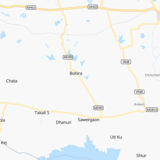
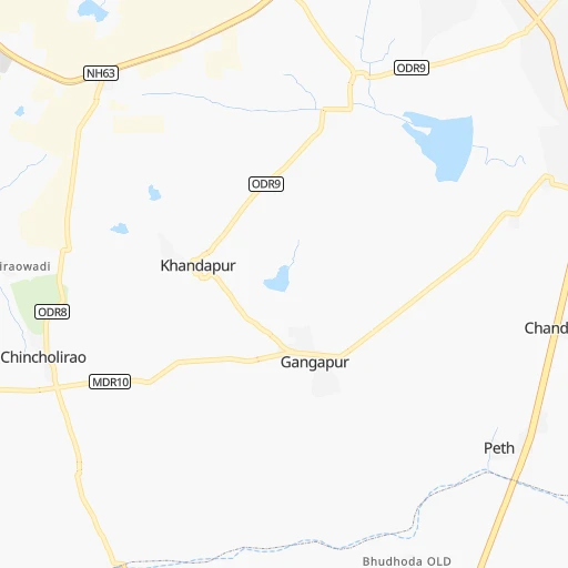
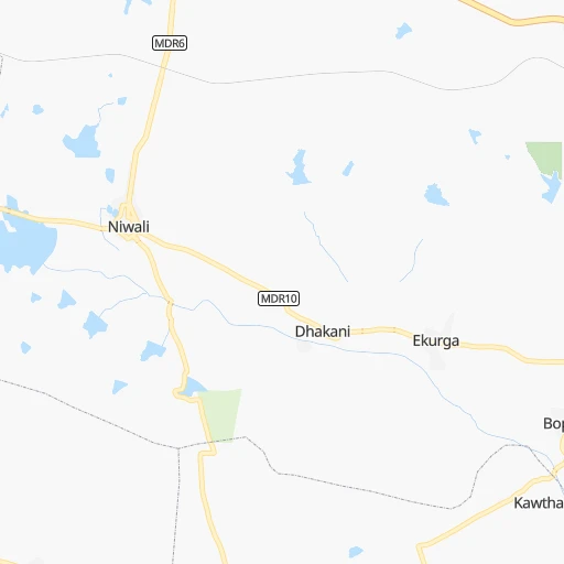
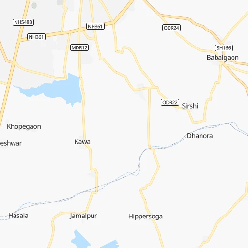
Roadmap (route) to go from Harangul to Kūkatpalli detailed above, you can also see the course layout on the map.
While doing trip Harangul - Kūkatpalli by car, the calculated route ends at a distance , or more straight.
Distance and duration of the route between Harangul and Kūkatpalli
Calculation of distance and route from Kūkatpalli to Harangul :
226.4264.2 km4h3mn
Continue onto NH63 0h5mn 5.3 kmAt roundabout, take exit 2 onto Main Road Latur 0h2mn 2.5 kmContinue onto Main Road Latur 0h2mn 1.8 kmAt roundabout, take exit 2 onto Main Road Latur 0h1mn 701 mAt roundabout, take exit 8 onto Main Road Latur 0h0mn 541 mTurn left onto SH77 0h1mn 1.1 kmAt roundabout, take exit 2 onto Bori Latur Road 0h1mn 815 mAt roundabout, take exit 2 onto Bori Latur Road 0h16mn 17.8 kmTurn right onto MDR28 0h13mn 12.9 kmTurn right 0h2mn 1.5 kmTurn left 0h0mn 66 mTurn right onto MDR28 0h6mn 5.5 kmTurn left onto SH165 0h2mn 2.6 kmContinue onto NH752K 1h45mn 52.8 kmKeep left 0h0mn 335 mKeep left 0h0mn 46 mTurn slight left 0h1mn 511 mTurn left onto SH34 0h1mn 882 mTurn right onto SH34 0h12mn 12.9 kmTurn slight right onto NH50 0h16mn 18.3 kmContinue onto SH4 0h4mn 4.9 kmTurn right 0h0mn 16 mTurn left 0h1mn 218 mTurn slight right onto Udgir Road 0h0mn 481 mAt roundabout, take exit 3 onto Udgir Road 0h0mn 418 mAt roundabout, take exit 2 onto Udgir Road 0h16mn 17.2 kmKeep right onto SH14 0h7mn 7.5 kmKeep left 0h6mn 5.4 kmTurn left onto Pune - Machilipatnam Highway 0h29mn 33.7 kmTurn right onto Pune - Machilipatnam Highway 0h1mn 1.0 kmTurn left 0h1mn 1.1 kmAt roundabout, take exit 2 0h0mn 160 mTurn right 0h0mn 1 mTurn left 0h1mn 876 mTurn left onto Pune - Machilipatnam Highway 0h1mn 1.2 kmTurn right onto Pune - Machilipatnam Highway 1h36mn 39.0 kmKeep left 0h1mn 857 mTurn right 0h5mn 3.5 kmKeep left 0h9mn 7.3 kmTurn sharp left 0h0mn 101 mTurn right 0h0mn 106 mTurn left 0h0mn 16 mTurn left 0h0mn 15 mArrive at destination 0h0mn 0 m
Travel from Harangul (Telangana) to a selection of major cities.
Distances from Harangul to biggest cities in Maharashtra
- Malegaon,435,362 inhabitants.316 km
- Jalgaon,429,298 inhabitants.307 km
- Akola,428,857 inhabitants.264 km
- Ahmadnagar,367,140 inhabitants.201 km
- Dhulia,366,980 inhabitants.333 km
- Latur,348,967 inhabitants.8 km
- Chanda,328,351 inhabitants.342 km
- Parbhani,289,629 inhabitants.102 km
- Ichalkaranji,274,383 inhabitants.287 km
- Jalna,262,034 inhabitants.174 km
- Amarnath,217,780 inhabitants.362 km
- Bhusaval,183,001 inhabitants.305 km
- Virar,150,357 inhabitants.406 km
- Yavatmal,128,175 inhabitants.282 km
- Panvel,128,046 inhabitants.363 km
- Gondia,124,897 inhabitants.516 km
- Wardha,113,759 inhabitants.342 km
- Satara,112,793 inhabitants.276 km
- Achalpur,111,278 inhabitants.336 km
- Barsi,110,983 inhabitants.87 km
Other major cities in country :
- Faridabad [10], 1,220,229 inhabitants. 1,119 km
- Ghaziabad [36], 1,199,191 inhabitants. 1,148 km
- Rajkot [09], 1,177,362 inhabitants. 737 km
- Varanasi [36], 1,164,404 inhabitants. 1,023 km
- Amritsar [23], 1,092,450 inhabitants. 1,482 km
- Allahabad [36], 1,073,438 inhabitants. 960 km
- Visakhapatnam [02], 1,063,178 inhabitants. 714 km
- Teni [25], 1,034,724 inhabitants. 939 km
- Jabalpur [35], 1,030,168 inhabitants. 642 km
- Haora [28], 1,027,672 inhabitants. 1,318 km
- Srinagar [12], 975,857 inhabitants. 1,755 km
- Chandigarh [05], 960,787 inhabitants. 1,375 km
- Coimbatore [25], 959,823 inhabitants. 824 km
- Jodhpur [24], 921,476 inhabitants. 948 km
- Madurai [25], 909,908 inhabitants. 959 km
- Guwahati [03], 899,094 inhabitants. 1,792 km
- Gwalior [35], 882,458 inhabitants. 890 km
- Vijayawada [02], 874,587 inhabitants. 488 km
- Mysore [19], 868,313 inhabitants. 678 km
- Ranchi [38], 846,454 inhabitants. 1,069 km
Route from Kūkatpalli to major cities (India).
- Distance Kūkatpalli Mumbai611 km
- Distance Kūkatpalli Delhi1,249 km
- Distance Kūkatpalli Bengaluru510 km
- Distance Kūkatpalli Kolkata1,184 km
- Distance Kūkatpalli Chennai529 km
- Distance Kūkatpalli Ahmedabad866 km
- Distance Kūkatpalli Pune496 km
- Distance Kūkatpalli Surat717 km
- Distance Kūkatpalli Kanpur1,019 km
- Distance Kūkatpalli Jaipur1,084 km
- Distance Kūkatpalli Navi Mumbai596 km
- Distance Kūkatpalli Lucknow1,073 km
- Distance Kūkatpalli Nagpur414 km
- Distance Kūkatpalli Indore642 km
- Distance Kūkatpalli Patna1,139 km
- Distance Kūkatpalli Bhopal651 km
- Distance Kūkatpalli Ludhiana1,517 km
- Distance Kūkatpalli Tirunelveli978 km
- Distance Kūkatpalli Agra1,080 km
- Distance Kūkatpalli Vadodara764 km
Nearest cities to Harangul :
- Hyderabad, 3,597,816 inhabitants. 236 km
- Pune, 2,935,744 inhabitants. 279 km
- Nagpur, 2,228,018 inhabitants. 410 km
- Nashik, 1,289,497 inhabitants. 336 km
- Pimpri, 1,284,606 inhabitants. 285 km
- Aurangabad, 1,016,441 inhabitants. 205 km
- Shivaji Nagar, 1,000,000 inhabitants. 279 km
- Solapur, 997,281 inhabitants. 101 km
- Amravati, 603,837 inhabitants. 312 km
- Sangli, 601,214 inhabitants. 267 km
- Nanded, 550,564 inhabitants. 122 km
- Kolhapur, 516,142 inhabitants. 305 km
- Gulbarga, 483,615 inhabitants. 123 km
- Kurnool, 460,184 inhabitants. 329 km
- Ramgundam, 452,261 inhabitants. 315 km
- Malegaon, 435,362 inhabitants. 316 km
- Jalgaon, 429,298 inhabitants. 307 km
- Akola, 428,857 inhabitants. 264 km
- Belgaum, 428,720 inhabitants. 353 km
- Ahmadnagar, 367,140 inhabitants. 201 km
- Dhulia, 366,980 inhabitants. 333 km
- Latur, 348,967 inhabitants. 8 km
- Kukatpalli, 341,709 inhabitants. 227 km
- Chanda, 328,351 inhabitants. 342 km
- Nizamabad, 305,438 inhabitants. 172 km
- Parbhani, 289,629 inhabitants. 102 km
- Ichalkaranji, 274,383 inhabitants. 287 km
- Bijapur, 271,064 inhabitants. 193 km
- Jalna, 262,034 inhabitants. 174 km
- Lal Bahadur Nagar, 261,987 inhabitants. 247 km
- Ramagundam, 235,000 inhabitants. 317 km
- Karimnagar, 228,745 inhabitants. 278 km
- Raichur, 225,962 inhabitants. 260 km
- Quthbullapur, 225,816 inhabitants. 230 km
- Secunderabad, 204,182 inhabitants. 238 km
- Bidar, 204,071 inhabitants. 122 km
- Burhanpur, 202,695 inhabitants. 326 km
- Bhusaval, 183,001 inhabitants. 305 km
- Gadag-Betageri, 172,813 inhabitants. 344 km
- Nandyal, 165,337 inhabitants. 387 km
- Adoni, 163,631 inhabitants. 318 km
- Gadag, 162,569 inhabitants. 342 km
- Serilingampalle, 150,525 inhabitants. 216 km
- Malkajgiri, 150,000 inhabitants. 239 km
- Mahbubnagar, 136,135 inhabitants. 242 km
- Yavatmal, 128,175 inhabitants. 282 km
- Nalgonda, 121,826 inhabitants. 329 km
- Adilabad, 118,526 inhabitants. 258 km
- Uppal Kalan, 118,259 inhabitants. 245 km
- Wardha, 113,759 inhabitants. 342 km
Location Harangul (Maharashtra) :
| Country flag |  |
| Location | Harangul |
| State | Maharashtra |
| County | Latur |
| Country | India |
| Country code / ISO 2 | IN |
| Latitude | 18.3897800 |
| Longitude | 76.4950900 |
| Altitude | 0 meters |
| Time zone | Asia/Kolkata |
Location Kūkatpalli (Telangana) :
| Country flag | |
| Location | Kūkatpalli |
| State | Telangana |
| County | Rangareddi |
| Country | India |
| Country code / ISO 2 | IN |
| Latitude | 17.4848600 |
| Longitude | 78.4137600 |
| Altitude | 0 meters |
| Time zone | Asia/Kolkata |


