


How to get from Pātālpāni Railroad Station (Madhya Pradesh) to Nagda (Madhya Pradesh)
Calculate route from Pātālpāni Railroad Station (Madhya Pradesh, India) to Nagda (Madhya Pradesh, India).
The flight distance (as the crow flies) between Pātālpāni Railroad Station and Nagda is 111.9 km.
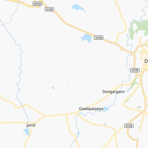
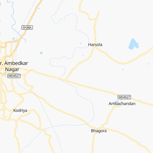
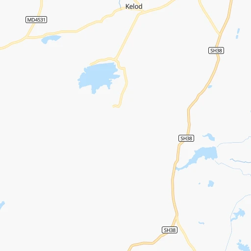
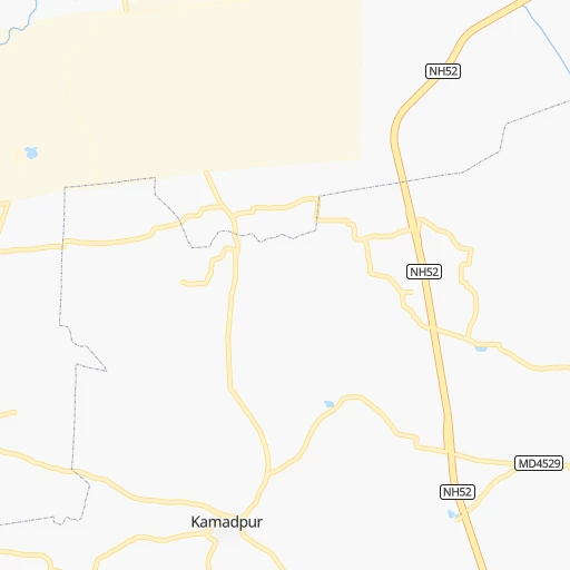
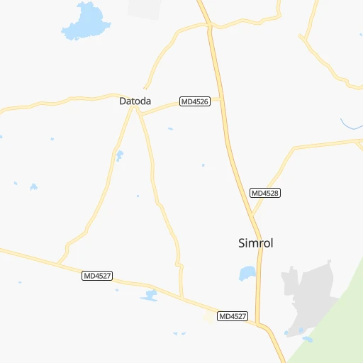
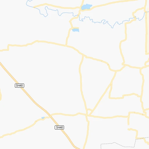
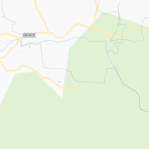
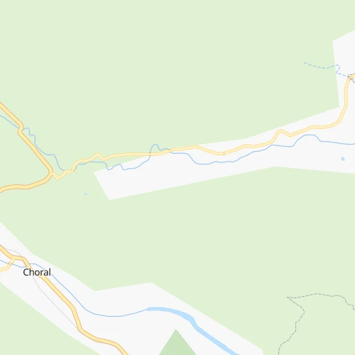
Roadmap (route) to go from Pātālpāni Railroad Station to Nagda detailed above, you can also see the course layout on the map.
While doing trip Pātālpāni Railroad Station - Nagda by car, the calculated route ends at a distance , or more straight.
Distance and duration of the route between Pātālpāni Railroad Station and Nagda
Calculation of distance and route from Nagda to Pātālpāni Railroad Station :
111.9132.1 km2h7mn
Continue onto Patalpani railway station Road 0h1mn 617 mTurn right 0h2mn 1.3 kmTurn left 0h3mn 2.3 kmTurn left 0h0mn 223 mTurn right 0h1mn 488 mTurn left 0h0mn 71 mTurn right 0h1mn 756 mTurn right 0h0mn 129 mContinue onto SH38 0h2mn 2.0 kmTurn left 0h0mn 220 mContinue onto MHOW Road 0h0mn 23 mTurn left onto SH38 0h1mn 1.5 kmKeep left 0h9mn 9.3 kmKeep left 0h6mn 6.8 kmKeep left 0h0mn 412 mTurn right onto MD4516 0h27mn 27.0 kmTurn right onto MD4508 0h0mn 117 mTurn left 0h1mn 367 mTurn right 0h0mn 40 mTurn left 0h1mn 289 mTurn left 0h1mn 275 mTurn slight right 0h0mn 30 mTurn left onto Indore - Depalpur - Ingoriya Road 1h31mn 34.4 kmTurn right onto NH752D 0h0mn 20 mTurn left onto SH38, 65 0h1mn 921 mTurn left onto SH38, 65 0h21mn 23.0 kmTurn left onto SH38, 65 0h15mn 16.7 kmKeep left 0h3mn 2.2 kmTurn right 0h0mn 71 mTurn left 0h1mn 524 mTurn right 0h0mn 54 mTurn slight left 0h0mn 52 mArrive at destination 0h0mn 0 m
Travel from Pātālpāni Railroad Station (Madhya Pradesh) to a selection of major cities.
Distances from Pātālpāni Railroad Station to biggest cities in Madhya Pradesh
- Chhindwara,134,847 inhabitants.328 km
- Mandsaur,124,988 inhabitants.189 km
- Damoh,118,776 inhabitants.401 km
- Chhatarpur,111,594 inhabitants.470 km
- Hoshangabad,109,358 inhabitants.200 km
- Nagda,103,501 inhabitants.112 km
- Seoni,101,379 inhabitants.389 km
- Itarsi,100,574 inhabitants.202 km
- Sehore,99,284 inhabitants.152 km
- Khargone,94,985 inhabitants.79 km
- Betul,91,953 inhabitants.227 km
- Datia,90,628 inhabitants.444 km
- Shahdol,89,289 inhabitants.577 km
- Dhar,82,438 inhabitants.52 km
- Balaghat,80,360 inhabitants.459 km
- Tikamgarh,74,724 inhabitants.397 km
- Basoda,69,278 inhabitants.265 km
- Pithampur,68,051 inhabitants.14 km
- Harda Khas,67,387 inhabitants.135 km
- Jaora,67,203 inhabitants.143 km
Other major cities in country :
- Nashik [16], 1,289,497 inhabitants. 349 km
- Pimpri [16], 1,284,606 inhabitants. 480 km
- Kalyan [16], 1,262,255 inhabitants. 457 km
- Thane [16], 1,261,517 inhabitants. 472 km
- Meerut [36], 1,223,184 inhabitants. 745 km
- Nowrangapur [21], 1,220,946 inhabitants. 791 km
- Faridabad [10], 1,220,229 inhabitants. 674 km
- Ghaziabad [36], 1,199,191 inhabitants. 704 km
- Dombivli [16], 1,193,000 inhabitants. 463 km
- Rajkot [09], 1,177,362 inhabitants. 516 km
- Varanasi [36], 1,164,404 inhabitants. 797 km
- Amritsar [23], 1,092,450 inhabitants. 1,018 km
- Allahabad [36], 1,073,438 inhabitants. 696 km
- Visakhapatnam [02], 1,063,178 inhabitants. 942 km
- Teni [25], 1,034,724 inhabitants. 1,403 km
- Haora [28], 1,027,672 inhabitants. 1,287 km
- Aurangabad [16], 1,016,441 inhabitants. 297 km
- Shivaji Nagar [16], 1,000,000 inhabitants. 488 km
- Solapur [16], 997,281 inhabitants. 539 km
- Srinagar [12], 975,857 inhabitants. 1,292 km
Route from Nagda to major cities (India).
- Distance Nagda Mumbai554 km
- Distance Nagda Delhi606 km
- Distance Nagda Bengaluru1,190 km
- Distance Nagda Kolkata1,330 km
- Distance Nagda Chennai1,263 km
- Distance Nagda Ahmedabad293 km
- Distance Nagda Hyderabad747 km
- Distance Nagda Pune573 km
- Distance Nagda Surat367 km
- Distance Nagda Kanpur600 km
- Distance Nagda Jaipur387 km
- Distance Nagda Navi Mumbai552 km
- Distance Nagda Lucknow670 km
- Distance Nagda Nagpur457 km
- Distance Nagda Patna1,012 km
- Distance Nagda Ludhiana831 km
- Distance Nagda Tirunelveli1,658 km
- Distance Nagda Agra490 km
- Distance Nagda Vadodara261 km
- Distance Nagda Gorakhpur667 km
Nearest cities to Pātālpāni Railroad Station :
- Surat, 2,894,504 inhabitants. 340 km
- Indore, 1,837,041 inhabitants. 23 km
- Bhopal, 1,599,914 inhabitants. 184 km
- Vadodara, 1,409,476 inhabitants. 268 km
- Nashik, 1,289,497 inhabitants. 349 km
- Aurangabad, 1,016,441 inhabitants. 297 km
- Kota, 763,088 inhabitants. 297 km
- Amravati, 603,837 inhabitants. 268 km
- Bilimora, 510,879 inhabitants. 352 km
- Ujjain, 457,346 inhabitants. 74 km
- Malegaon, 435,362 inhabitants. 255 km
- Jalgaon, 429,298 inhabitants. 170 km
- Akola, 428,857 inhabitants. 236 km
- Udaipur, 422,784 inhabitants. 314 km
- Jhansi, 412,927 inhabitants. 433 km
- Dhulia, 366,980 inhabitants. 208 km
- Punasa, 350,000 inhabitants. 69 km
- Bhilwara, 326,431 inhabitants. 337 km
- Jalna, 262,034 inhabitants. 298 km
- Dewas, 261,218 inhabitants. 57 km
- Saugor, 247,333 inhabitants. 335 km
- Ratlam, 236,843 inhabitants. 120 km
- Burhanpur, 202,695 inhabitants. 141 km
- Nadiad, 202,067 inhabitants. 302 km
- Bhusaval, 183,001 inhabitants. 164 km
- Khandwa, 182,841 inhabitants. 96 km
- Shivpuri, 164,215 inhabitants. 375 km
- Guna, 153,689 inhabitants. 283 km
- Bharuch, 153,528 inhabitants. 304 km
- Vidisha, 140,045 inhabitants. 235 km
- Anand, 138,009 inhabitants. 292 km
- Godhra, 131,913 inhabitants. 226 km
- Yavatmal, 128,175 inhabitants. 338 km
- Lalitpur, 126,475 inhabitants. 361 km
- Mandsaur, 124,988 inhabitants. 189 km
- Vejalpur, 121,610 inhabitants. 230 km
- Adilabad, 118,526 inhabitants. 425 km
- Wardha, 113,759 inhabitants. 351 km
- Achalpur, 111,278 inhabitants. 226 km
- Hoshangabad, 109,358 inhabitants. 200 km
- Chittaurgarh, 106,710 inhabitants. 290 km
- Nagda, 103,501 inhabitants. 112 km
- Nandurbar, 100,703 inhabitants. 205 km
- Itarsi, 100,574 inhabitants. 202 km
- Sehore, 99,284 inhabitants. 152 km
- Bundi, 98,569 inhabitants. 326 km
- Amalner, 97,369 inhabitants. 181 km
- Chalisgaon, 96,381 inhabitants. 243 km
- Khargone, 94,985 inhabitants. 79 km
- Khamgaon, 94,604 inhabitants. 216 km
Location Pātālpāni Railroad Station (Madhya Pradesh) :
| Country flag |  |
| Location | Pātālpāni Railroad Station |
| State | Madhya Pradesh |
| County | Indore |
| Country | India |
| Country code / ISO 2 | IN |
| Latitude | 22.5137900 |
| Longitude | 75.7972200 |
| Altitude | 0 meters |
| Time zone | Asia/Kolkata |
Location Nagda (Madhya Pradesh) :
| Country flag | |
| Location | Nagda |
| State | Madhya Pradesh |
| County | Ujjain |
| Country | India |
| Country code / ISO 2 | IN |
| Latitude | 23.4583400 |
| Longitude | 75.4175900 |
| Altitude | 0 meters |
| Time zone | Asia/Kolkata |