


How to get from Prayagpura Flag Station (Gujarat) to Verāval (Gujarat)
Calculate route from Prayagpura Flag Station (Gujarat, India) to Verāval (Gujarat, India).
The flight distance (as the crow flies) between Prayagpura Flag Station and Verāval is 346.3 km.
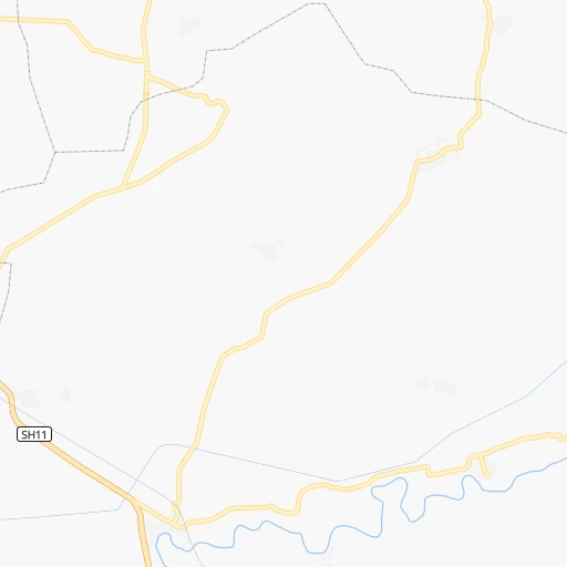
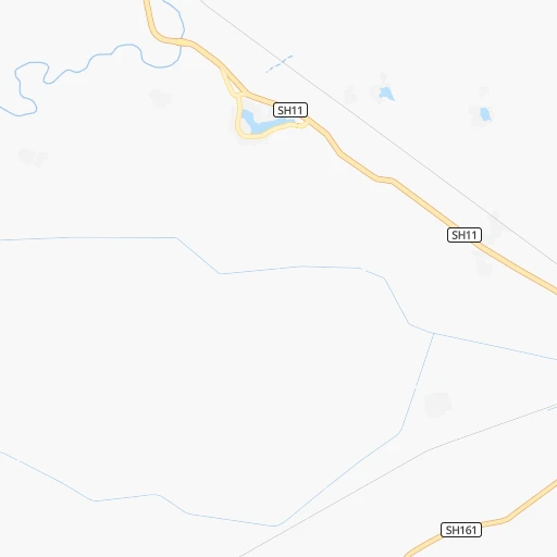
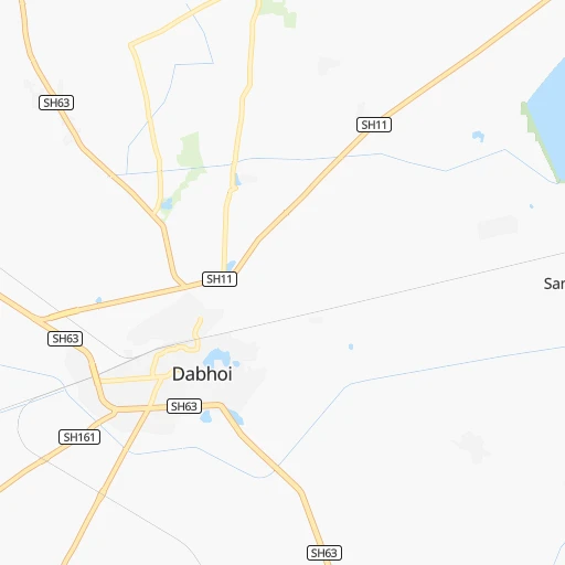
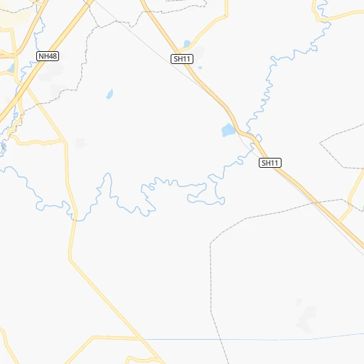
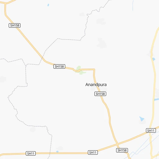
Roadmap (route) to go from Prayagpura Flag Station to Verāval detailed above, you can also see the course layout on the map.
While doing trip Prayagpura Flag Station - Verāval by car, the calculated route ends at a distance , or more straight.
Distance and duration of the route between Prayagpura Flag Station and Verāval
Calculation of distance and route from Verāval to Prayagpura Flag Station :
346.3461.8 km7h13mn
Continue 0h1mn 255 mTurn right 0h5mn 4.3 kmTurn left onto SH63 0h1mn 1.3 kmTurn sharp right onto SH11, SH63 0h24mn 26.2 kmAt roundabout, take exit 2 onto Dabhoi Road 0h2mn 2.3 kmTurn right onto Tagore Rd 0h0mn 179 mTurn left 0h1mn 341 mTurn right onto R.V. Desai Road 0h2mn 1.6 kmTurn left onto Dandia Bazaar Road 0h1mn 633 mTurn right 0h0mn 132 mTurn left 0h1mn 812 mTurn left onto SH11 0h2mn 1.7 kmAt roundabout, take exit 2 onto Jetalpur Road 0h1mn 886 mAt roundabout, take exit 2 onto Chakli Circle 0h1mn 761 mAt roundabout, take exit 1 onto Natubhai Circle 0h8mn 7.3 kmKeep right onto SH11 0h1mn 1.3 kmKeep left onto SH11 0h11mn 11.6 kmTurn sharp left onto NH148M 0h10mn 11.2 kmTurn right onto NH64 0h27mn 30.9 kmTurn left 0h0mn 59 mTurn left onto NH751D 0h22mn 26.1 kmTurn left onto NH751 1h44mn 51.9 kmKeep right 0h5mn 4.5 kmTurn sharp right 0h0mn 196 mTurn sharp left 0h23mn 22.5 kmTurn left onto SH36 0h1mn 853 mTurn right onto SH118 0h1mn 1.2 kmTurn left 0h8mn 6.8 kmTurn right onto Barvala road 0h5mn 4.0 kmTurn right onto Botad Road 0h4mn 3.9 kmTurn left 0h8mn 6.9 kmTurn slight left onto SH38 0h1mn 1.6 kmTurn right onto SH38 0h0mn 164 mTurn left onto SH38 0h3mn 3.7 kmTurn right onto SH38 0h15mn 16.0 kmTurn left onto NH51 0h1mn 863 mTurn right onto NH51 0h17mn 20.2 kmContinue onto SH21 0h0mn 171 mTurn right 0h3mn 2.7 kmTurn right 0h10mn 7.9 kmTurn left 0h7mn 5.4 kmTurn sharp right 0h1mn 455 mContinue onto NH351F 0h18mn 21.2 kmContinue 0h3mn 2.8 kmKeep left onto NH351G 0h0mn 406 mTurn right onto NH351G 0h0mn 333 mTurn left onto NH351G 0h0mn 49 mTurn right onto NH351G 0h0mn 500 mTurn left onto NH351G 0h0mn 414 mKeep right onto NH351G 0h6mn 6.7 kmKeep left onto NH351G 0h14mn 16.4 kmTurn slight right onto SH33, SH112 0h1mn 925 mKeep left onto SH33 0h15mn 16.7 kmContinue onto NH351K 0h0mn 407 mTurn left onto NH351K 0h0mn 501 mTurn left 0h1mn 751 mContinue onto SH33 1h52mn 57.1 kmTurn right 0h18mn 14.7 kmTurn slight right onto SH6 0h18mn 19.8 kmContinue onto NH51 0h4mn 4.2 kmKeep left 0h3mn 3.8 kmTurn left 0h2mn 1.1 kmKeep right 0h0mn 115 mContinue 0h0mn 246 mContinue 0h0mn 404 mTurn left onto Satta Bazaar Road 0h0mn 368 mTurn right 0h0mn 21 mArrive at destination 0h0mn 0 m
Travel from Prayagpura Flag Station (Gujarat) to a selection of major cities.
Distances from Prayagpura Flag Station to biggest cities in Gujarat
- Jetpur,118,068 inhabitants.293 km
- Morbi,118,022 inhabitants.275 km
- Patan,117,863 inhabitants.227 km
- Botad,117,053 inhabitants.181 km
- Gondal,101,801 inhabitants.271 km
- Amreli,99,742 inhabitants.238 km
- Disa,92,224 inhabitants.263 km
- Dohad,83,966 inhabitants.112 km
- Dhoraji,81,445 inhabitants.311 km
- Khambhat,81,328 inhabitants.84 km
- Kundla,76,809 inhabitants.238 km
- Dhrangadhra,75,578 inhabitants.220 km
- Ankleshwar,74,742 inhabitants.76 km
- Savarkundla,73,695 inhabitants.239 km
- Valsad,72,929 inhabitants.183 km
- Vapi,71,395 inhabitants.209 km
- Visnagar,68,619 inhabitants.190 km
- Keshod,68,518 inhabitants.343 km
- Anjar,66,888 inhabitants.364 km
- Himatnagar,60,634 inhabitants.164 km
Other major cities in country :
- Pimpri [16], 1,284,606 inhabitants. 399 km
- Kalyan [16], 1,262,255 inhabitants. 329 km
- Thane [16], 1,261,517 inhabitants. 337 km
- Meerut [36], 1,223,184 inhabitants. 869 km
- Nowrangapur [21], 1,220,946 inhabitants. 1,005 km
- Faridabad [10], 1,220,229 inhabitants. 795 km
- Ghaziabad [36], 1,199,191 inhabitants. 826 km
- Dombivli [16], 1,193,000 inhabitants. 333 km
- Varanasi [36], 1,164,404 inhabitants. 1,037 km
- Amritsar [23], 1,092,450 inhabitants. 1,060 km
- Allahabad [36], 1,073,438 inhabitants. 931 km
- Visakhapatnam [02], 1,063,178 inhabitants. 1,139 km
- Teni [25], 1,034,724 inhabitants. 1,423 km
- Jabalpur [35], 1,030,168 inhabitants. 679 km
- Haora [28], 1,027,672 inhabitants. 1,533 km
- Aurangabad [16], 1,016,441 inhabitants. 326 km
- Shivaji Nagar [16], 1,000,000 inhabitants. 410 km
- Solapur [16], 997,281 inhabitants. 566 km
- Srinagar [12], 975,857 inhabitants. 1,331 km
- Chandigarh [05], 960,787 inhabitants. 1,009 km
Route from Verāval to major cities (India).
- Distance Verāval Mumbai333 km
- Distance Verāval Delhi1,106 km
- Distance Verāval Bengaluru1,171 km
- Distance Verāval Kolkata1,869 km
- Distance Verāval Chennai1,367 km
- Distance Verāval Hyderabad936 km
- Distance Verāval Pune452 km
- Distance Verāval Kanpur1,190 km
- Distance Verāval Jaipur867 km
- Distance Verāval Navi Mumbai347 km
- Distance Verāval Lucknow1,260 km
- Distance Verāval Nagpur906 km
- Distance Verāval Indore600 km
- Distance Verāval Patna1,597 km
- Distance Verāval Bhopal771 km
- Distance Verāval Ludhiana1,241 km
- Distance Verāval Tirunelveli1,567 km
- Distance Verāval Agra1,045 km
- Distance Verāval Gorakhpur1,090 km
- Distance Verāval Nashik371 km
Nearest cities to Prayagpura Flag Station :
- Ahmedabad, 3,719,710 inhabitants. 127 km
- Surat, 2,894,504 inhabitants. 126 km
- Indore, 1,837,041 inhabitants. 255 km
- Vadodara, 1,409,476 inhabitants. 25 km
- Nashik, 1,289,497 inhabitants. 247 km
- Kalyan, 1,262,255 inhabitants. 329 km
- Thane, 1,261,517 inhabitants. 337 km
- Dombivli, 1,193,000 inhabitants. 333 km
- Rajkot, 1,177,362 inhabitants. 271 km
- Aurangabad, 1,016,441 inhabitants. 326 km
- Kota, 763,088 inhabitants. 414 km
- Bhiwandi, 707,035 inhabitants. 324 km
- Borivli, 609,617 inhabitants. 334 km
- Bhavnagar, 554,978 inhabitants. 139 km
- Bhayandar, 520,301 inhabitants. 327 km
- Ulhasnagar, 516,584 inhabitants. 332 km
- Bilimora, 510,879 inhabitants. 165 km
- Ujjain, 457,346 inhabitants. 266 km
- Malegaon, 435,362 inhabitants. 216 km
- Jalgaon, 429,298 inhabitants. 258 km
- Udaipur, 422,784 inhabitants. 268 km
- Dhulia, 366,980 inhabitants. 201 km
- Punasa, 350,000 inhabitants. 306 km
- Jalna, 262,034 inhabitants. 366 km
- Dewas, 261,218 inhabitants. 284 km
- Ratlam, 236,843 inhabitants. 209 km
- Amarnath, 217,780 inhabitants. 334 km
- Burhanpur, 202,695 inhabitants. 306 km
- Nadiad, 202,067 inhabitants. 80 km
- Gandhinagar, 195,985 inhabitants. 137 km
- Junagadh, 184,447 inhabitants. 315 km
- Bhusaval, 183,001 inhabitants. 276 km
- Khandwa, 182,841 inhabitants. 305 km
- Surendranagar, 179,628 inhabitants. 192 km
- Bharuch, 153,528 inhabitants. 72 km
- Virar, 150,357 inhabitants. 311 km
- Anand, 138,009 inhabitants. 63 km
- Godhra, 131,913 inhabitants. 68 km
- Mandsaur, 124,988 inhabitants. 269 km
- Palanpur, 123,294 inhabitants. 242 km
- Vejalpur, 121,610 inhabitants. 58 km
- Jetpur, 118,068 inhabitants. 293 km
- Morbi, 118,022 inhabitants. 275 km
- Patan, 117,863 inhabitants. 227 km
- Botad, 117,053 inhabitants. 181 km
- Chittaurgarh, 106,710 inhabitants. 325 km
- Nagda, 103,501 inhabitants. 249 km
- Gondal, 101,801 inhabitants. 271 km
- Nandurbar, 100,703 inhabitants. 125 km
- Amreli, 99,742 inhabitants. 238 km
Location Prayagpura Flag Station (Gujarat) :
| Country flag |  |
| Location | Prayagpura Flag Station |
| State | Gujarat |
| County | Vadodara |
| Country | India |
| Country code / ISO 2 | IN |
| Latitude | 22.1898300 |
| Longitude | 73.4220400 |
| Altitude | 0 meters |
| Time zone | Asia/Kolkata |
Location Verāval (Gujarat) :
| Country flag | |
| Location | Verāval |
| State | Gujarat |
| County | Gir Somnath |
| Country | India |
| Country code / ISO 2 | IN |
| Latitude | 20.9077000 |
| Longitude | 70.3678600 |
| Altitude | 0 meters |
| Time zone | Asia/Kolkata |


