
How to get from Stuartpuram (Andhra Pradesh) to Kūkatpalli (Telangana)
Calculate route from Stuartpuram (Andhra Pradesh, India) to Kūkatpalli (Telangana, India).
The flight distance (as the crow flies) between Stuartpuram and Kūkatpalli is 278.3 km.
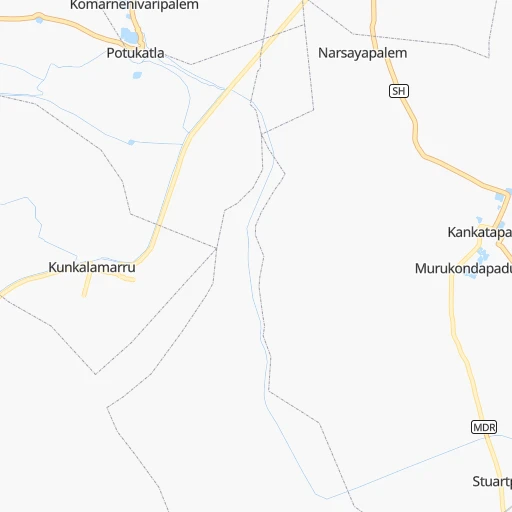
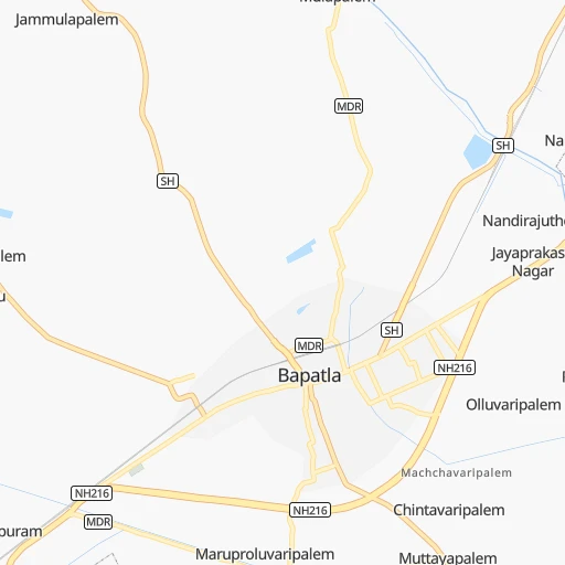
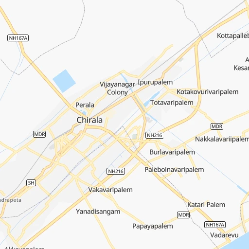
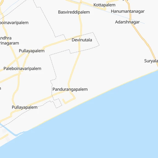
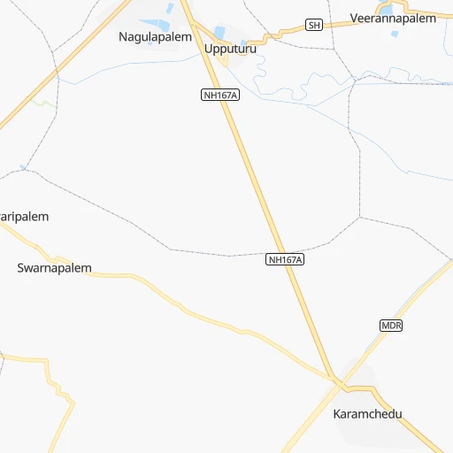
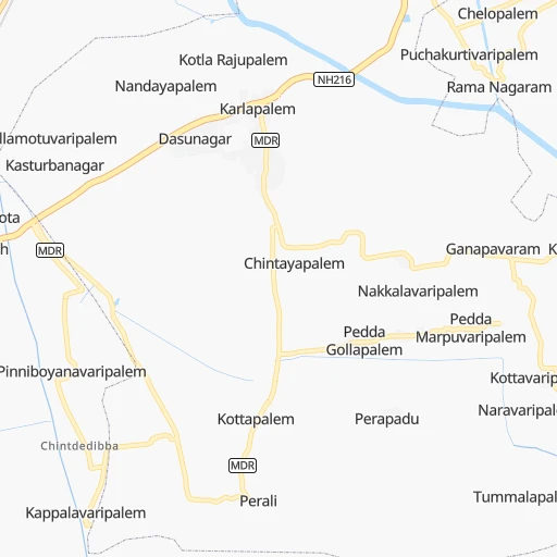
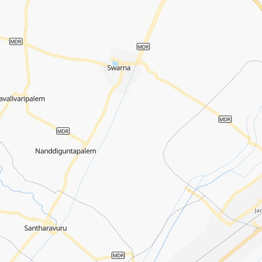
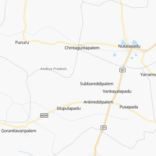
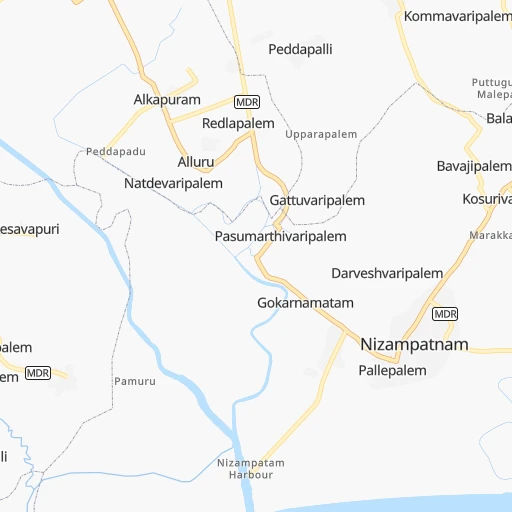
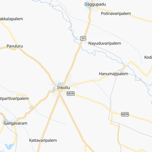
Roadmap (route) to go from Stuartpuram to Kūkatpalli detailed above, you can also see the course layout on the map.
While doing trip Stuartpuram - Kūkatpalli by car, the calculated route ends at a distance , or more straight.
Distance and duration of the route between Stuartpuram and Kūkatpalli
Calculation of distance and route from Kūkatpalli to Stuartpuram :
278.3319.8 km5h44mn
Continue 0h1mn 251 mTurn right onto NH216 0h2mn 2.0 kmTurn right 0h5mn 5.2 kmTurn right onto NH167A 0h7mn 8.3 kmTurn right onto NH167A 0h8mn 9.7 kmTurn right onto NH167A 0h1mn 967 mTurn left onto Chirala Road 0h15mn 17.9 kmTurn left onto Pedanandipadu Rd 0h0mn 195 mAt roundabout, take exit 3 0h1mn 1.0 kmContinue onto NH167A 1h31mn 36.4 kmTurn right onto Narketpally - Addanki - Medarametla Road 0h21mn 24.9 kmTurn left 1h47mn 54.2 kmKeep right onto Narketpally - Addanki - Medarametla Road 0h22mn 26.0 kmContinue onto NAM, SH2 0h15mn 17.5 kmContinue onto NAM, NH565 0h0mn 13 mContinue onto Nalgonda Bypass 0h15mn 17.4 kmTurn left 1h3mn 73.1 kmKeep right onto NH65 0h0mn 435 mTurn left onto Inner Ring Road 0h0mn 16 mTurn right 0h0mn 54 mKeep left onto Saroor Nagar Mini Tank Bund Road 0h1mn 1.3 kmKeep left onto Saroor Nagar Mini Tank Bund Road 0h2mn 1.5 kmTurn left onto Saroor Nagar Mini Tank Bund Road 0h2mn 1.6 kmTurn left onto Mumbai Highway 0h3mn 3.1 kmAt roundabout, take exit 3 onto NH65 0h0mn 388 mKeep left onto NH65 0h1mn 725 mTurn right onto Jambagh Road 0h1mn 1.1 kmContinue 0h2mn 1.9 kmAt roundabout, take exit 1 onto NH44, NH65, NH163 0h0mn 182 mAt roundabout, take exit 1 onto Public Garden Road 0h1mn 329 mKeep left onto Lakdikapul Road 0h1mn 384 mKeep right onto Lakdikapul Road 0h11mn 8.4 kmKeep left 0h1mn 204 mKeep left 0h4mn 2.1 kmMake a U-turn onto Kukkatpally Main Road - Mumbai Highway 0h0mn 191 mTurn left 0h1mn 285 mTurn left 0h0mn 225 mTurn right 0h0mn 16 mTurn left 0h0mn 15 mArrive at destination 0h0mn 0 m
Travel from Stuartpuram (Telangana) to a selection of major cities.
Distances from Stuartpuram to biggest cities in Andhra Pradesh
- Guntakal Junction,120,964 inhabitants.337 km
- Chicacole,118,299 inhabitants.458 km
- Gudivada,116,161 inhabitants.88 km
- Dharmavaram,114,050 inhabitants.332 km
- Madanapalle,108,593 inhabitants.331 km
- Tadepallegudem,108,167 inhabitants.158 km
- Narasaraopet,97,194 inhabitants.56 km
- Chilakalurupet,94,011 inhabitants.36 km
- Tadpatri,93,044 inhabitants.280 km
- Chirala,87,001 inhabitants.9 km
- Anakapalle,84,357 inhabitants.342 km
- Kavali,83,352 inhabitants.116 km
- Kadiri,81,498 inhabitants.312 km
- Rayachoti,81,433 inhabitants.270 km
- Emmiganur,80,933 inhabitants.314 km
- Gudur,74,851 inhabitants.201 km
- Bapatla,70,117 inhabitants.6 km
- Tanuku,68,290 inhabitants.167 km
- Attili,68,196 inhabitants.156 km
- Palasa,65,833 inhabitants.533 km
Other major cities in country :
- Vadodara [09], 1,409,476 inhabitants. 1,042 km
- Gorakhpur [10], 1,324,570 inhabitants. 1,587 km
- Nashik [16], 1,289,497 inhabitants. 838 km
- Pimpri [16], 1,284,606 inhabitants. 766 km
- Kalyan [16], 1,262,255 inhabitants. 859 km
- Thane [16], 1,261,517 inhabitants. 873 km
- Meerut [36], 1,223,184 inhabitants. 1,485 km
- Nowrangapur [21], 1,220,946 inhabitants. 437 km
- Faridabad [10], 1,220,229 inhabitants. 1,432 km
- Ghaziabad [36], 1,199,191 inhabitants. 1,456 km
- Dombivli [16], 1,193,000 inhabitants. 862 km
- Rajkot [09], 1,177,362 inhabitants. 1,238 km
- Varanasi [36], 1,164,404 inhabitants. 1,085 km
- Amritsar [23], 1,092,450 inhabitants. 1,841 km
- Allahabad [36], 1,073,438 inhabitants. 1,076 km
- Teni [25], 1,034,724 inhabitants. 726 km
- Jabalpur [35], 1,030,168 inhabitants. 813 km
- Haora [28], 1,027,672 inhabitants. 1,116 km
- Aurangabad [16], 1,016,441 inhabitants. 698 km
- Shivaji Nagar [16], 1,000,000 inhabitants. 758 km
Route from Kūkatpalli to major cities (India).
- Distance Kūkatpalli Mumbai611 km
- Distance Kūkatpalli Delhi1,249 km
- Distance Kūkatpalli Bengaluru510 km
- Distance Kūkatpalli Kolkata1,184 km
- Distance Kūkatpalli Chennai529 km
- Distance Kūkatpalli Ahmedabad866 km
- Distance Kūkatpalli Pune496 km
- Distance Kūkatpalli Surat717 km
- Distance Kūkatpalli Kanpur1,019 km
- Distance Kūkatpalli Jaipur1,084 km
- Distance Kūkatpalli Navi Mumbai596 km
- Distance Kūkatpalli Lucknow1,073 km
- Distance Kūkatpalli Nagpur414 km
- Distance Kūkatpalli Indore642 km
- Distance Kūkatpalli Patna1,139 km
- Distance Kūkatpalli Bhopal651 km
- Distance Kūkatpalli Ludhiana1,517 km
- Distance Kūkatpalli Tirunelveli978 km
- Distance Kūkatpalli Agra1,080 km
- Distance Kūkatpalli Vadodara764 km
Nearest cities to Stuartpuram :
- Bengaluru, 5,104,047 inhabitants. 444 km
- Chennai, 4,328,063 inhabitants. 311 km
- Hyderabad, 3,597,816 inhabitants. 268 km
- Visakhapatnam, 1,063,178 inhabitants. 359 km
- Vijayawada, 874,587 inhabitants. 75 km
- Warangal, 557,802 inhabitants. 253 km
- Guntur, 530,577 inhabitants. 48 km
- Kurnool, 460,184 inhabitants. 255 km
- Ramgundam, 452,261 inhabitants. 341 km
- Nellore, 404,158 inhabitants. 165 km
- Kukatpalli, 341,709 inhabitants. 279 km
- Ambattur, 341,049 inhabitants. 310 km
- Nizamabad, 305,438 inhabitants. 397 km
- Rajahmundry, 304,804 inhabitants. 192 km
- Kakinada, 292,923 inhabitants. 229 km
- Lal Bahadur Nagar, 261,987 inhabitants. 257 km
- Gajuwaka, 258,944 inhabitants. 361 km
- Tirupati, 250,821 inhabitants. 271 km
- Avadi, 250,044 inhabitants. 309 km
- Tiruvottiyur, 248,059 inhabitants. 303 km
- Anantapur, 240,442 inhabitants. 330 km
- Ramagundam, 235,000 inhabitants. 336 km
- Karimnagar, 228,745 inhabitants. 317 km
- Quthbullapur, 225,816 inhabitants. 276 km
- Secunderabad, 204,182 inhabitants. 270 km
- Bidar, 204,071 inhabitants. 382 km
- Machilipatnam, 192,827 inhabitants. 85 km
- Ellore, 183,387 inhabitants. 119 km
- Vizianagaram, 179,358 inhabitants. 405 km
- Proddatur, 177,797 inhabitants. 236 km
- Vellore, 177,081 inhabitants. 357 km
- Tambaram, 174,787 inhabitants. 330 km
- Ongole, 172,872 inhabitants. 57 km
- Khammam, 170,503 inhabitants. 156 km
- Nandyal, 165,337 inhabitants. 212 km
- Pallavaram, 157,145 inhabitants. 325 km
- Alandur, 153,775 inhabitants. 321 km
- Serilingampalle, 150,525 inhabitants. 289 km
- Malkajgiri, 150,000 inhabitants. 267 km
- Bhimavaram, 142,967 inhabitants. 140 km
- Mahbubnagar, 136,135 inhabitants. 277 km
- Robertsonpet, 135,218 inhabitants. 398 km
- Hindupur, 133,298 inhabitants. 388 km
- Cuddapah, 127,010 inhabitants. 231 km
- Kolar, 126,441 inhabitants. 392 km
- Nalgonda, 121,826 inhabitants. 180 km
- Uppal Kalan, 118,259 inhabitants. 261 km
- Yelahanka, 116,447 inhabitants. 433 km
- Gudivada, 116,161 inhabitants. 88 km
- Dharmavaram, 114,050 inhabitants. 332 km
Location Stuartpuram (Andhra Pradesh) :
| Country flag |  |
| Location | Stuartpuram |
| State | Andhra Pradesh |
| County | Prakasam |
| Country | India |
| Country code / ISO 2 | IN |
| Latitude | 15.8744800 |
| Longitude | 80.4156300 |
| Altitude | 0 meters |
| Time zone | Asia/Kolkata |
Location Kūkatpalli (Telangana) :
| Country flag | |
| Location | Kūkatpalli |
| State | Telangana |
| County | Rangareddi |
| Country | India |
| Country code / ISO 2 | IN |
| Latitude | 17.4848600 |
| Longitude | 78.4137600 |
| Altitude | 0 meters |
| Time zone | Asia/Kolkata |


