


How to get from Wokha (Nagaland) to Dibrugarh (Assam)
Calculate route from Wokha (Nagaland, India) to Dibrugarh (Assam, India).
The flight distance (as the crow flies) between Wokha and Dibrugarh is 166.6 km.
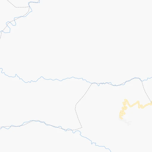
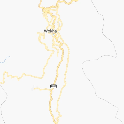
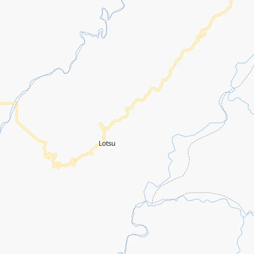
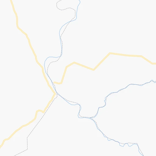
Roadmap (route) to go from Wokha to Dibrugarh detailed above, you can also see the course layout on the map.
While doing trip Wokha - Dibrugarh by car, the calculated route ends at a distance , or more straight.
Distance and duration of the route between Wokha and Dibrugarh
Calculation of distance and route from Dibrugarh to Wokha :
166.6250.9 km4h60mn
Continue 0h0mn 132 mTurn right 0h0mn 236 mTurn sharp right onto NH2 0h2mn 2.6 kmTurn right onto NH2 0h0mn 285 mTurn slight left onto SH 4 0h29mn 32.1 kmTurn right onto SH 4 1h43mn 46.9 kmTurn right 0h9mn 7.2 kmContinue 0h1mn 1.3 kmTurn right onto Dhodar Ali 0h4mn 4.3 kmTurn left onto SH33 0h26mn 28.2 kmTurn left onto Sunari Gaon Path 0h3mn 2.7 kmTurn right onto AT Road 0h6mn 6.3 kmTurn right onto NH715 1h37mn 42.8 kmKeep right 0h5mn 4.6 kmTurn left 0h5mn 4.5 kmContinue onto Assam Trunk Road 0h2mn 1.9 kmTurn slight right onto Assam Trunk Road 0h14mn 16.9 kmTurn left 0h17mn 14.2 kmTurn left 0h3mn 1.6 kmTurn sharp left 0h2mn 1.0 kmTurn right 0h16mn 12.9 kmTurn slight left onto NH2 0h5mn 6.0 kmKeep left onto NH15 0h0mn 58 mAt roundabout, take exit 3 onto NH15 0h6mn 6.6 kmTurn left onto Mancota Road 0h4mn 4.5 kmAt roundabout, take exit 2 onto Dibrugarh Bypass 0h1mn 1.2 kmTurn sharp right 0h0mn 16 mTurn left 0h0mn 42 mArrive at destination 0h0mn 0 m
Travel from Wokha (Assam) to a selection of major cities.
Distances from Wokha to biggest cities in Nagaland
Other major cities in country :
- Vadodara [09], 1,409,476 inhabitants. 2,176 km
- Gorakhpur [10], 1,324,570 inhabitants. 1,866 km
- Nashik [16], 1,289,497 inhabitants. 2,201 km
- Pimpri [16], 1,284,606 inhabitants. 2,260 km
- Kalyan [16], 1,262,255 inhabitants. 2,296 km
- Thane [16], 1,261,517 inhabitants. 2,315 km
- Meerut [36], 1,223,184 inhabitants. 1,663 km
- Nowrangapur [21], 1,220,946 inhabitants. 1,424 km
- Faridabad [10], 1,220,229 inhabitants. 1,695 km
- Ghaziabad [36], 1,199,191 inhabitants. 1,685 km
- Dombivli [16], 1,193,000 inhabitants. 2,303 km
- Rajkot [09], 1,177,362 inhabitants. 2,417 km
- Varanasi [36], 1,164,404 inhabitants. 1,131 km
- Amritsar [23], 1,092,450 inhabitants. 1,984 km
- Allahabad [36], 1,073,438 inhabitants. 1,246 km
- Visakhapatnam [02], 1,063,178 inhabitants. 1,476 km
- Teni [25], 1,034,724 inhabitants. 2,516 km
- Jabalpur [35], 1,030,168 inhabitants. 1,483 km
- Haora [28], 1,027,672 inhabitants. 719 km
- Aurangabad [16], 1,016,441 inhabitants. 2,056 km
Route from Dibrugarh to major cities (India).
- Distance Dibrugarh Mumbai2,434 km
- Distance Dibrugarh Delhi1,740 km
- Distance Dibrugarh Bengaluru2,419 km
- Distance Dibrugarh Kolkata857 km
- Distance Dibrugarh Chennai2,209 km
- Distance Dibrugarh Ahmedabad2,298 km
- Distance Dibrugarh Hyderabad2,028 km
- Distance Dibrugarh Pune2,372 km
- Distance Dibrugarh Surat2,342 km
- Distance Dibrugarh Kanpur1,448 km
- Distance Dibrugarh Jaipur1,892 km
- Distance Dibrugarh Navi Mumbai2,423 km
- Distance Dibrugarh Lucknow1,386 km
- Distance Dibrugarh Nagpur1,751 km
- Distance Dibrugarh Indore1,992 km
- Distance Dibrugarh Patna995 km
- Distance Dibrugarh Bhopal1,821 km
- Distance Dibrugarh Ludhiana1,888 km
- Distance Dibrugarh Tirunelveli2,764 km
- Distance Dibrugarh Agra1,669 km
Nearest cities to Wokha :
- Guwahati, 899,094 inhabitants. 251 km
- Aizawl, 265,331 inhabitants. 306 km
- Imphal, 223,523 inhabitants. 147 km
- Agartala, 203,264 inhabitants. 392 km
- Silchar, 152,393 inhabitants. 204 km
- Dimapur, 135,860 inhabitants. 58 km
- Shillong, 132,842 inhabitants. 245 km
- Dibrugarh, 122,155 inhabitants. 167 km
- Kohima, 92,113 inhabitants. 49 km
- Tinsukia, 89,373 inhabitants. 190 km
- Jorhat, 69,033 inhabitants. 74 km
- Sibsagar, 62,104 inhabitants. 106 km
- North Lakhimpur, 59,841 inhabitants. 128 km
- Tezpur, 58,851 inhabitants. 157 km
- Diphu, 57,097 inhabitants. 87 km
- Karimganj, 55,290 inhabitants. 235 km
- Wokha, 54,010 inhabitants. 0 km
- Churachandpur, 47,774 inhabitants. 205 km
- Itanagar, 44,971 inhabitants. 128 km
- Thoubal, 44,493 inhabitants. 164 km
- Haflong, 39,982 inhabitants. 162 km
- Hojai, 36,869 inhabitants. 141 km
- Golaghat, 34,372 inhabitants. 55 km
- Mokokchung, 34,021 inhabitants. 36 km
- Tuensang, 33,748 inhabitants. 60 km
- Dharmanagar, 32,912 inhabitants. 285 km
- Hailakandi, 31,031 inhabitants. 232 km
- Kakching, 30,418 inhabitants. 180 km
- Zunheboto, 29,499 inhabitants. 30 km
- Naharlagun, 26,912 inhabitants. 125 km
- Rangia, 26,388 inhabitants. 267 km
- Nongstoin, 25,758 inhabitants. 307 km
- Pasighat, 25,581 inhabitants. 243 km
- Lumding Railway Colony, 25,283 inhabitants. 116 km
- Kolasib, 25,000 inhabitants. 262 km
- Mangaldai, 24,871 inhabitants. 226 km
- Margherita, 24,428 inhabitants. 193 km
- Mariani, 23,640 inhabitants. 63 km
- Duliagaon, 23,528 inhabitants. 176 km
- Udaipur, 23,290 inhabitants. 400 km
- Silapathar, 22,307 inhabitants. 173 km
- Mayang Imphal, 22,159 inhabitants. 170 km
- Kailashahar, 22,120 inhabitants. 300 km
- Dum Duma, 21,706 inhabitants. 209 km
- Dhekiajuli, 21,271 inhabitants. 190 km
- Dhing, 20,826 inhabitants. 183 km
- Morigaon, 20,807 inhabitants. 192 km
- Digboi, 20,685 inhabitants. 198 km
- Serchhip, 20,244 inhabitants. 343 km
- Khowai, 20,046 inhabitants. 350 km
Location Wokha (Nagaland) :
| Country flag |  |
| Location | Wokha |
| State | Nagaland |
| County | Wokha |
| Country | India |
| Country code / ISO 2 | IN |
| Latitude | 26.0971700 |
| Longitude | 94.2581700 |
| Altitude | 0 meters |
| Time zone | Asia/Kolkata |
Location Dibrugarh (Assam) :
| Country flag | |
| Location | Dibrugarh |
| State | Assam |
| County | Dibrugarh |
| Country | India |
| Country code / ISO 2 | IN |
| Latitude | 27.4798900 |
| Longitude | 94.9083700 |
| Altitude | 0 meters |
| Time zone | Asia/Kolkata |

