
How to get from Zangālapalle (Andhra Pradesh) to Nandyāl (Andhra Pradesh)
Calculate route from Zangālapalle (Andhra Pradesh, India) to Nandyāl (Andhra Pradesh, India).
The flight distance (as the crow flies) between Zangālapalle and Nandyāl is 133.8 km.
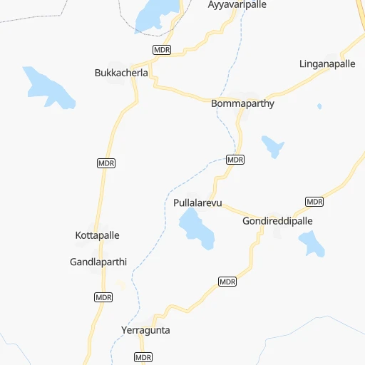
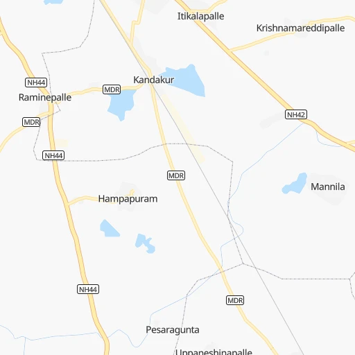
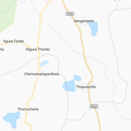
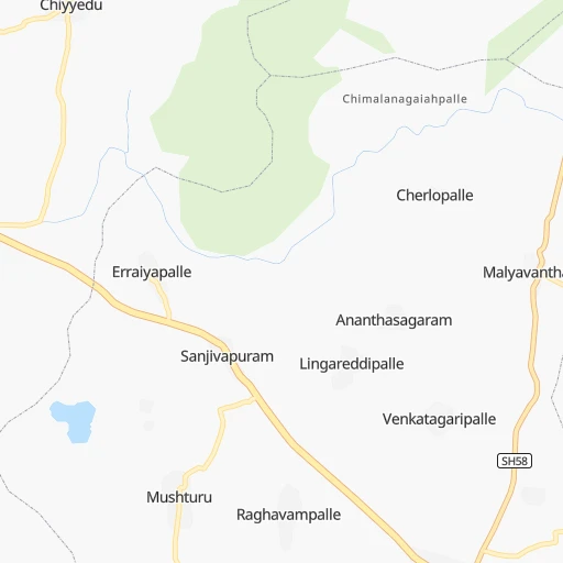
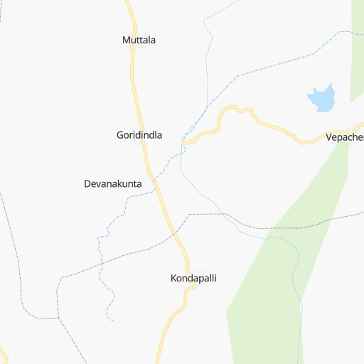
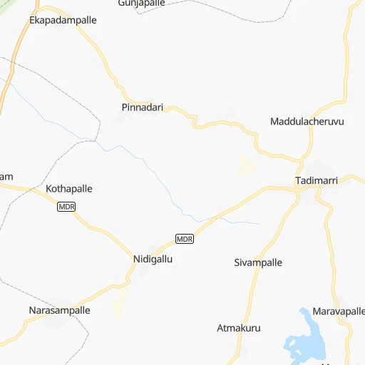
Roadmap (route) to go from Zangālapalle to Nandyāl detailed above, you can also see the course layout on the map.
While doing trip Zangālapalle - Nandyāl by car, the calculated route ends at a distance , or more straight.
Distance and duration of the route between Zangālapalle and Nandyāl
Calculation of distance and route from Nandyāl to Zangālapalle :
133.8161.3 km2h26mn
Continue onto Kandukuru Road 0h5mn 4.2 kmContinue onto Anantapur - Krishnagiri Road 0h1mn 1.1 kmContinue onto NH544F 0h4mn 4.3 kmMake a U-turn onto kadiri road 0h0mn 108 mTurn left onto NH544F 1h45mn 52.3 kmKeep right 0h2mn 2.7 kmTurn left onto MDR 0h2mn 2.2 kmTurn right 0h1mn 557 mTurn left onto NH544D 0h24mn 28.5 kmTurn right onto Belum - Akumalla Road 0h12mn 11.7 kmTurn right onto MDR 0h3mn 3.4 kmContinue onto Nandyal - Thimmanayunipeta Road 0h15mn 16.4 kmKeep left onto Nandyal - Thimmanayunipeta Road 0h18mn 19.8 kmContinue onto NH544D 0h10mn 11.7 kmKeep left 0h1mn 1.4 kmTurn left 0h0mn 97 mTurn right 0h0mn 108 mTurn slight right 0h0mn 146 mTurn right 0h0mn 33 mTurn sharp left 0h0mn 165 mTurn left 0h0mn 7 mTurn right 0h0mn 217 mTurn left 0h0mn 79 mArrive at destination 0h0mn 0 m
Travel from Zangālapalle (Andhra Pradesh) to a selection of major cities.
Distances from Zangālapalle to biggest cities in Andhra Pradesh
- Guntakal Junction,120,964 inhabitants.71 km
- Chicacole,118,299 inhabitants.785 km
- Gudivada,116,161 inhabitants.414 km
- Dharmavaram,114,050 inhabitants.21 km
- Madanapalle,108,593 inhabitants.149 km
- Tadepallegudem,108,167 inhabitants.484 km
- Narasaraopet,97,194 inhabitants.317 km
- Chilakalurupet,94,011 inhabitants.318 km
- Tadpatri,93,044 inhabitants.53 km
- Chirala,87,001 inhabitants.322 km
- Anakapalle,84,357 inhabitants.669 km
- Kavali,83,352 inhabitants.256 km
- Kadiri,81,498 inhabitants.77 km
- Rayachoti,81,433 inhabitants.134 km
- Emmiganur,80,933 inhabitants.133 km
- Gudur,74,851 inhabitants.243 km
- Bapatla,70,117 inhabitants.337 km
- Tanuku,68,290 inhabitants.495 km
- Attili,68,196 inhabitants.485 km
- Palasa,65,833 inhabitants.859 km
Other major cities in country :
- Vadodara [09], 1,409,476 inhabitants. 977 km
- Gorakhpur [10], 1,324,570 inhabitants. 1,666 km
- Nashik [16], 1,289,497 inhabitants. 728 km
- Pimpri [16], 1,284,606 inhabitants. 607 km
- Kalyan [16], 1,262,255 inhabitants. 706 km
- Thane [16], 1,261,517 inhabitants. 715 km
- Meerut [36], 1,223,184 inhabitants. 1,602 km
- Nowrangapur [21], 1,220,946 inhabitants. 735 km
- Faridabad [10], 1,220,229 inhabitants. 1,539 km
- Ghaziabad [36], 1,199,191 inhabitants. 1,567 km
- Dombivli [16], 1,193,000 inhabitants. 708 km
- Rajkot [09], 1,177,362 inhabitants. 1,121 km
- Varanasi [36], 1,164,404 inhabitants. 1,319 km
- Amritsar [23], 1,092,450 inhabitants. 1,917 km
- Allahabad [36], 1,073,438 inhabitants. 1,285 km
- Teni [25], 1,034,724 inhabitants. 510 km
- Jabalpur [35], 1,030,168 inhabitants. 985 km
- Haora [28], 1,027,672 inhabitants. 1,434 km
- Aurangabad [16], 1,016,441 inhabitants. 637 km
- Shivaji Nagar [16], 1,000,000 inhabitants. 596 km
Route from Nandyāl to major cities (India).
- Distance Nandyāl Mumbai717 km
- Distance Nandyāl Delhi1,472 km
- Distance Nandyāl Bengaluru295 km
- Distance Nandyāl Kolkata1,304 km
- Distance Nandyāl Chennai329 km
- Distance Nandyāl Ahmedabad1,044 km
- Distance Nandyāl Hyderabad212 km
- Distance Nandyāl Pune598 km
- Distance Nandyāl Surat873 km
- Distance Nandyāl Kanpur1,238 km
- Distance Nandyāl Jaipur1,304 km
- Distance Nandyāl Navi Mumbai703 km
- Distance Nandyāl Lucknow1,290 km
- Distance Nandyāl Nagpur634 km
- Distance Nandyāl Indore853 km
- Distance Nandyāl Patna1,322 km
- Distance Nandyāl Bhopal873 km
- Distance Nandyāl Ludhiana1,739 km
- Distance Nandyāl Tirunelveli756 km
- Distance Nandyāl Agra1,304 km
Nearest cities to Zangālapalle :
- Bengaluru, 5,104,047 inhabitants. 180 km
- Chennai, 4,328,063 inhabitants. 331 km
- Hyderabad, 3,597,816 inhabitants. 323 km
- Mysore, 868,313 inhabitants. 277 km
- Hubli, 840,214 inhabitants. 283 km
- Salem, 778,396 inhabitants. 332 km
- Guntur, 530,577 inhabitants. 357 km
- Gulbarga, 483,615 inhabitants. 317 km
- Kurnool, 460,184 inhabitants. 144 km
- Davangere, 435,128 inhabitants. 185 km
- Mangalore, 417,387 inhabitants. 354 km
- Nellore, 404,158 inhabitants. 253 km
- Kukatpalli, 341,709 inhabitants. 333 km
- Ambattur, 341,049 inhabitants. 319 km
- Bellary, 336,681 inhabitants. 99 km
- Shimoga, 319,550 inhabitants. 235 km
- Tumkur, 307,359 inhabitants. 151 km
- Bijapur, 271,064 inhabitants. 323 km
- Lal Bahadur Nagar, 261,987 inhabitants. 322 km
- Tirupati, 250,821 inhabitants. 219 km
- Avadi, 250,044 inhabitants. 313 km
- Tiruvottiyur, 248,059 inhabitants. 329 km
- Anantapur, 240,442 inhabitants. 10 km
- Puducherry, 227,411 inhabitants. 379 km
- Raichur, 225,962 inhabitants. 182 km
- Quthbullapur, 225,816 inhabitants. 336 km
- Secunderabad, 204,182 inhabitants. 338 km
- Hospet, 197,846 inhabitants. 155 km
- Proddatur, 177,797 inhabitants. 99 km
- Vellore, 177,081 inhabitants. 246 km
- Tambaram, 174,787 inhabitants. 327 km
- Ongole, 172,872 inhabitants. 278 km
- Gadag-Betageri, 172,813 inhabitants. 236 km
- Khammam, 170,503 inhabitants. 399 km
- Nandyal, 165,337 inhabitants. 134 km
- Udupi, 165,000 inhabitants. 343 km
- Bhadravati, 163,903 inhabitants. 225 km
- Adoni, 163,631 inhabitants. 122 km
- Gadag, 162,569 inhabitants. 236 km
- Cuddalore, 158,569 inhabitants. 391 km
- Pallavaram, 157,145 inhabitants. 326 km
- Kanchipuram, 155,029 inhabitants. 296 km
- Alandur, 153,775 inhabitants. 329 km
- Serilingampalle, 150,525 inhabitants. 331 km
- Malkajgiri, 150,000 inhabitants. 332 km
- Chitradurga, 138,587 inhabitants. 140 km
- Tiruvannamalai, 138,243 inhabitants. 306 km
- Mahbubnagar, 136,135 inhabitants. 243 km
- Robertsonpet, 135,218 inhabitants. 194 km
- Mandya, 134,845 inhabitants. 244 km
Location Zangālapalle (Andhra Pradesh) :
| Country flag |  |
| Location | Zangālapalle |
| State | Andhra Pradesh |
| County | Anantapur |
| Country | India |
| Country code / ISO 2 | IN |
| Latitude | 14.5907400 |
| Longitude | 77.6413000 |
| Altitude | 0 meters |
| Time zone | Asia/Kolkata |
Location Nandyāl (Andhra Pradesh) :
| Country flag | |
| Location | Nandyāl |
| State | Andhra Pradesh |
| County | Kurnool |
| Country | India |
| Country code / ISO 2 | IN |
| Latitude | 15.4779900 |
| Longitude | 78.4836000 |
| Altitude | 0 meters |
| Time zone | Asia/Kolkata |