

How to get from Dŭstí (Khatlon) to Qŭrghonteppa (Khatlon)
Calculate route from Dŭstí (Khatlon, Tajikistan) to Qŭrghonteppa (Khatlon, Tajikistan).
The flight distance (as the crow flies) between Dŭstí and Qŭrghonteppa is 55.0 km.
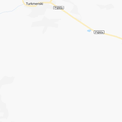
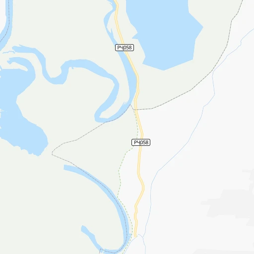
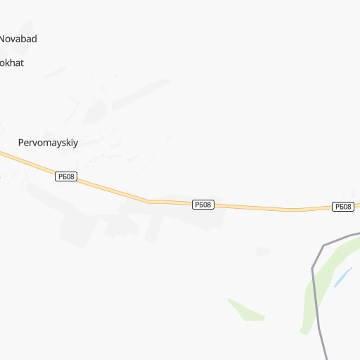
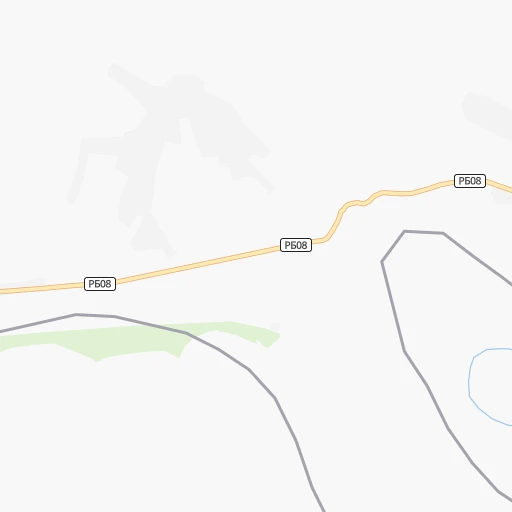
Roadmap (route) to go from Dŭstí to Qŭrghonteppa detailed above, you can also see the course layout on the map.
While doing trip Dŭstí - Qŭrghonteppa by car, the calculated route ends at a distance , or more straight.
Distance and duration of the route between Dŭstí and Qŭrghonteppa
Calculation of distance and route from Qŭrghonteppa to Dŭstí :
55.063.5 km1h56mn
Continue 0h1mn 487 mTurn right 0h0mn 139 mTurn left onto РҶ060a 0h0mn 410 mTurn left onto РБ09 0h23mn 27.2 kmAt roundabout, take exit 1 onto РБ09 0h2mn 2.0 kmAt roundabout, take exit 1 onto кучай Ибн Сина 0h0mn 45 mTurn slight right onto кучай Абуали Ибн Сино 0h6mn 7.3 kmAt roundabout, take exit 1 onto РБ09 0h20mn 23.8 kmAt roundabout, take exit 2 onto кӯчаи Айнӣ 0h2mn 1.7 kmAt roundabout, take exit 1 0h1mn 441 mTurn left 0h0mn 21 mArrive at destination 0h0mn 0 m
Travel from Dŭstí (Khatlon) to a selection of major cities.
Distances from Dŭstí to biggest cities in Khatlon
Other major cities in country :
Route from Qŭrghonteppa to major cities (Tajikistan).
Nearest cities to Dŭstí :
- Dushanbe, 679,400 inhabitants. 133 km
- Khujand, 144,865 inhabitants. 337 km
- Kulob, 78,786 inhabitants. 117 km
- Qurghonteppa, 65,000 inhabitants. 55 km
- Istaravshan, 52,851 inhabitants. 287 km
- Konibodom, 50,359 inhabitants. 362 km
- Vahdat, 45,693 inhabitants. 138 km
- Isfara, 37,738 inhabitants. 353 km
- Tursunzoda, 37,000 inhabitants. 135 km
- Panjakent, 35,085 inhabitants. 256 km
- Khorugh, 30,000 inhabitants. 256 km
- Ishqoshim, 26,000 inhabitants. 271 km
- Hisor, 23,978 inhabitants. 131 km
- Boshkengash, 23,696 inhabitants. 125 km
- Danghara, 22,824 inhabitants. 102 km
- Moskovskiy, 22,100 inhabitants. 30 km
- Farkhor, 21,736 inhabitants. 67 km
- Vose', 21,736 inhabitants. 100 km
- Chkalov, 21,537 inhabitants. 333 km
- Chubek, 19,563 inhabitants. 97 km
- Kolkhozobod, 18,476 inhabitants. 27 km
- Norak, 18,122 inhabitants. 130 km
- Yovon, 17,471 inhabitants. 112 km
- Proletar, 16,441 inhabitants. 322 km
- Vakhsh, 15,215 inhabitants. 44 km
- Nov, 13,833 inhabitants. 318 km
- Shahritus, 13,042 inhabitants. 48 km
- Mu'minobod, 11,955 inhabitants. 147 km
- Rasht, 10,771 inhabitants. 240 km
- Obigarm, 10,035 inhabitants. 178 km
- Abdurahmoni Jomi, 9,943 inhabitants. 68 km
- Khodzha-Maston, 9,781 inhabitants. 155 km
- Dusti, 8,700 inhabitants. 0 km
- Sovet, 8,695 inhabitants. 113 km
- Gharavuti, 8,474 inhabitants. 31 km
- Pakhtakoron, 8,220 inhabitants. 313 km
- Panj, 8,019 inhabitants. 40 km
- Roghun, 7,731 inhabitants. 192 km
- Kirov, 7,696 inhabitants. 55 km
- Orzu, 5,988 inhabitants. 27 km
- Jilikul, 5,434 inhabitants. 20 km
- Shahrinav, 5,385 inhabitants. 139 km
- Novobod, 5,352 inhabitants. 226 km
- Neftobod, 4,603 inhabitants. 360 km
- Boshchorbogh, 4,237 inhabitants. 51 km
- Bustonqal'a, 4,068 inhabitants. 58 km
- Shurob, 3,984 inhabitants. 342 km
- Vorukh, 3,836 inhabitants. 325 km
- Palos, 3,288 inhabitants. 343 km
Location Dŭstí (Khatlon) :
| Country flag |  |
| Location | Dŭstí |
| State | Khatlon |
| County | |
| Country | Tajikistan |
| Country code / ISO 2 | TJ |
| Latitude | 37.3481200 |
| Longitude | 68.6639800 |
| Altitude | 0 meters |
| Time zone | Asia/Dushanbe |
Location Qŭrghonteppa (Khatlon) :
| Country flag | |
| Location | Qŭrghonteppa |
| State | Khatlon |
| County | |
| Country | Tajikistan |
| Country code / ISO 2 | TJ |
| Latitude | 37.8339900 |
| Longitude | 68.7818600 |
| Altitude | 0 meters |
| Time zone | Asia/Dushanbe |