

How to get from Amlapura city (Bali) to Singojuruh (East Java)
Calculate route from Amlapura city (Bali, Indonesia) to Singojuruh (East Java, Indonesia).
The flight distance (as the crow flies) between Amlapura city and Singojuruh is 151.6 km.
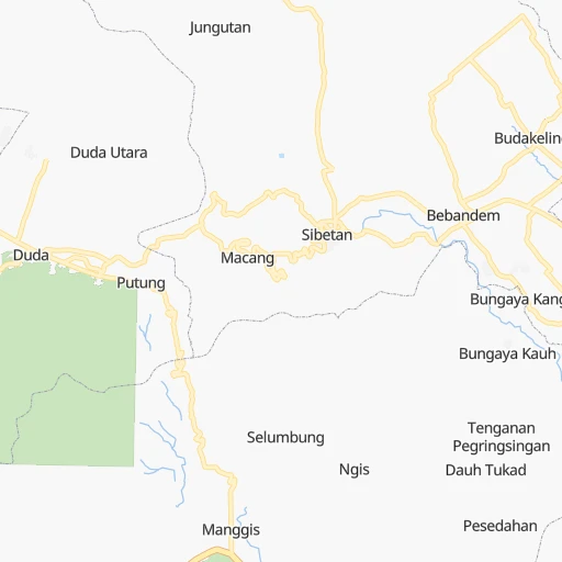
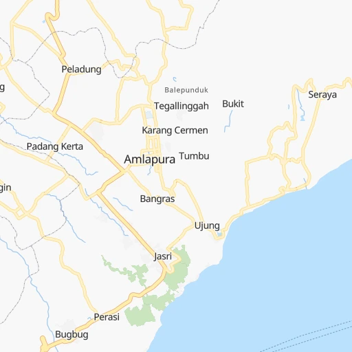
Roadmap (route) to go from Amlapura city to Singojuruh detailed above, you can also see the course layout on the map.
While doing trip Amlapura city - Singojuruh by car, the calculated route ends at a distance , or more straight.
Distance and duration of the route between Amlapura city and Singojuruh
Calculation of distance and route from Singojuruh to Amlapura city :
151.6214.1 km4h4mn
Continue onto Jalan Untung Surapati 0h0mn 145 mTurn right onto Jalan Panglima Besar Sudirman 0h1mn 919 mAt roundabout, take exit 1 onto Jalan Ahmad Yani 0h19mn 22.2 kmKeep right 0h8mn 9.7 kmAt roundabout, take exit 3 onto Profesor Ida Bagus Mantra Bypass 0h1mn 1.7 kmTurn right 0h0mn 217 mTurn left 0h1mn 931 mTurn right 0h0mn 94 mTurn left 0h1mn 581 mAt roundabout, take exit 1 0h0mn 533 mAt roundabout, take exit 2 0h1mn 1.2 kmAt roundabout, take exit 2 0h7mn 8.7 kmContinue onto Jalan Dharma Giri 0h2mn 2.7 kmKeep left 0h0mn 39 mTurn left onto Jalan Udayana 0h2mn 2.0 kmTurn right onto Jalan Wisma Gajah Mada 0h2mn 2.9 kmKeep right 0h0mn 54 mTurn right onto Jalan Raya Mas 0h0mn 196 mTurn left 0h2mn 1.3 kmTurn left 0h0mn 238 mTurn left onto Jalan Raya Mawang 0h2mn 2.0 kmTurn left onto Jalan Raya Tebongkang 0h1mn 686 mTurn right 0h4mn 4.3 kmContinue 0h2mn 1.5 kmTurn sharp right 0h0mn 131 mTurn left 0h3mn 2.6 kmTurn left onto Jalan Cempaka 0h0mn 21 mTurn right onto Jalan Raya Kapal 0h1mn 1.1 kmTurn left onto Jalan Raya Denpasar-Gilimanuk 0h3mn 3.9 kmAt roundabout, take exit 2 onto Jalan Bypass Dokter Insinyur Soekarno 0h3mn 4.0 kmAt roundabout, take exit 1 onto Jalan Raya Denpasar-Gilimanuk 0h12mn 13.8 kmTurn left onto Jalan Serma Arda 0h0mn 196 mTurn slight right onto Jalan Serma Arda 0h0mn 72 mKeep left onto Jalan Serma Arda 0h4mn 3.0 kmTurn right 0h1mn 405 mTurn left onto Jalan Raya Denpasar-Gilimanuk 1h45mn 52.0 kmAt roundabout, take exit 2 onto Ahmad Yani 0h8mn 8.9 kmTurn slight left onto Jalan Raya Denpasar-Gilimanuk 0h20mn 23.8 kmTurn left 0h0mn 21 mTurn right 1h51mn 3.8 kmKeep left onto Ketapang - Gilimanuk 0h7mn 710 mTurn slight left 0h0mn 93 mTurn left onto 21 0h10mn 11.2 kmTurn left onto 3 0h0mn 85 mTurn sharp right onto 3 0h4mn 4.2 kmAt roundabout, take exit 1 onto 21 0h6mn 7.5 kmKeep right onto JI-220 0h4mn 4.6 kmKeep right 0h0mn 25 mTurn slight right onto JI-223 0h3mn 3.2 kmArrive at destination 0h0mn 0 m
Travel from Amlapura city (East Java) to a selection of major cities.
Distances from Amlapura city to biggest cities in Bali
Other major cities in country :
- Surakarta [07], 555,308 inhabitants. 536 km
- Cimahi [30], 493,698 inhabitants. 907 km
- Pontianak [11], 455,173 inhabitants. 1,168 km
- Manado [31], 451,893 inhabitants. 1,508 km
- Balikpapan [14], 433,866 inhabitants. 811 km
- Jambi City [05], 420,323 inhabitants. 1,532 km
- Ambon [28], 355,596 inhabitants. 1,489 km
- Samarinda [14], 355,160 inhabitants. 902 km
- Mataram [17], 318,674 inhabitants. 58 km
- Percut [26], 311,063 inhabitants. 2,294 km
- Bengkulu [03], 309,712 inhabitants. 1,564 km
- Jember [08], 298,585 inhabitants. 212 km
- Palu [21], 282,431 inhabitants. 963 km
- Kupang [18], 282,396 inhabitants. 900 km
- Sukabumi [30], 276,414 inhabitants. 973 km
- Tasikmalaya [30], 271,143 inhabitants. 824 km
- Pekalongan [07], 257,945 inhabitants. 677 km
- Cirebon [30], 254,298 inhabitants. 802 km
- Banda Aceh [01], 250,757 inhabitants. 2,737 km
- Tegal [07], 237,084 inhabitants. 735 km
Route from Singojuruh to major cities (Indonesia).
- Distance Singojuruh Jakarta849 km
- Distance Singojuruh Medan2,178 km
- Distance Singojuruh Bandung747 km
- Distance Singojuruh Bekasi833 km
- Distance Singojuruh Palembang1,210 km
- Distance Singojuruh Tangerang873 km
- Distance Singojuruh Makassar674 km
- Distance Singojuruh South Tangerang860 km
- Distance Singojuruh Semarang446 km
- Distance Singojuruh Depok846 km
- Distance Singojuruh Padang1,744 km
- Distance Singojuruh Denpasar114 km
- Distance Singojuruh Bandar Lampung1,042 km
- Distance Singojuruh Bogor844 km
- Distance Singojuruh Pekanbaru1,727 km
- Distance Singojuruh City of Balikpapan841 km
- Distance Singojuruh Yogyakarta430 km
- Distance Singojuruh Banjarmasin558 km
- Distance Singojuruh Surakarta384 km
- Distance Singojuruh Cimahi756 km
Nearest cities to Amlapura city :
- Surabaya, 2,374,658 inhabitants. 342 km
- Denpasar, 834,881 inhabitants. 48 km
- Malang, 746,716 inhabitants. 332 km
- Situbondo, 600,000 inhabitants. 194 km
- Mataram, 318,674 inhabitants. 58 km
- Jember, 298,585 inhabitants. 212 km
- Probolinggo, 181,656 inhabitants. 275 km
- Lawang, 159,380 inhabitants. 328 km
- Pasuruan, 158,600 inhabitants. 311 km
- Sidoarjo, 139,189 inhabitants. 337 km
- Singaraja, 133,784 inhabitants. 68 km
- Lumajang, 123,626 inhabitants. 265 km
- Bangil, 120,000 inhabitants. 321 km
- Banyuwangi, 108,166 inhabitants. 140 km
- Pamekasan, 92,447 inhabitants. 276 km
- Banjar, 89,040 inhabitants. 76 km
- Sumenep, 84,656 inhabitants. 249 km
- Genteng, 79,652 inhabitants. 161 km
- Gedangan, 79,230 inhabitants. 339 km
- Kebomas, 75,982 inhabitants. 358 km
- Gresik, 73,629 inhabitants. 356 km
- Bondowoso, 69,783 inhabitants. 205 km
- Muncar, 64,537 inhabitants. 140 km
- Tulangan Utara, 63,889 inhabitants. 343 km
- Bangkalan, 62,178 inhabitants. 353 km
- Singosari, 57,793 inhabitants. 330 km
- Besuki, 55,465 inhabitants. 225 km
- Sampang, 53,269 inhabitants. 296 km
- Sumbawa Besar, 52,654 inhabitants. 200 km
- Dompu, 49,000 inhabitants. 315 km
- Buduran, 48,152 inhabitants. 338 km
- Balung, 47,631 inhabitants. 203 km
- Kencong, 43,046 inhabitants. 247 km
- Panji, 42,789 inhabitants. 185 km
- Srono, 36,260 inhabitants. 148 km
- Praya, 35,183 inhabitants. 78 km
- Pandaan, 34,184 inhabitants. 334 km
- Tabanan, 33,667 inhabitants. 54 km
- Negara, 33,191 inhabitants. 109 km
- Tanggulangin, 32,866 inhabitants. 337 km
- Amlapura, 31,869 inhabitants. 1 km
- Amlapura city, 31,869 inhabitants. 0 km
- Panarukan, 30,749 inhabitants. 204 km
- Kuta, 30,012 inhabitants. 57 km
- Singojuruh, 29,418 inhabitants. 152 km
- Wongsorejo, 29,193 inhabitants. 142 km
- Ubud, 28,373 inhabitants. 38 km
- Kraksaan, 28,248 inhabitants. 255 km
- Klungkung, 27,836 inhabitants. 25 km
- Driyorejo, 26,827 inhabitants. 350 km
Location Amlapura city (Bali) :
| Country flag |  |
| Location | Amlapura city |
| State | Bali |
| County | |
| Country | Indonesia |
| Country code / ISO 2 | ID |
| Latitude | -8.4486900 |
| Longitude | 115.6062100 |
| Altitude | 0 meters |
| Time zone | Asia/Makassar |
Location Singojuruh (East Java) :
| Country flag | |
| Location | Singojuruh |
| State | East Java |
| County | |
| Country | Indonesia |
| Country code / ISO 2 | ID |
| Latitude | -8.3166700 |
| Longitude | 114.2333300 |
| Altitude | 0 meters |
| Time zone | Asia/Jakarta |


